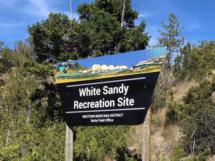
Overview
White Sandy is located on the west side of Hauser Lake at the confluence of Prickly Pear creek. White Sandy faces Eldorado Bar and the beautiful Big Belt mountains. It is in an ideal location for outdoor recreation, wildlife watching, water sports, camping and swimming.
Recreation
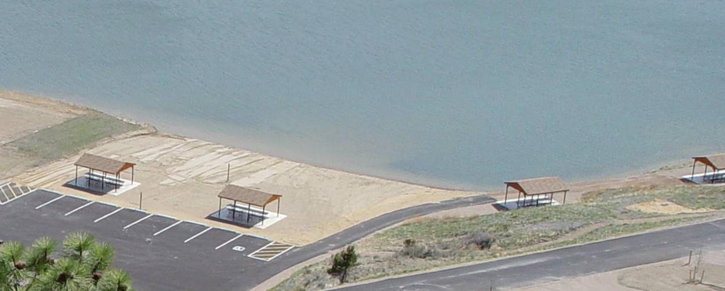
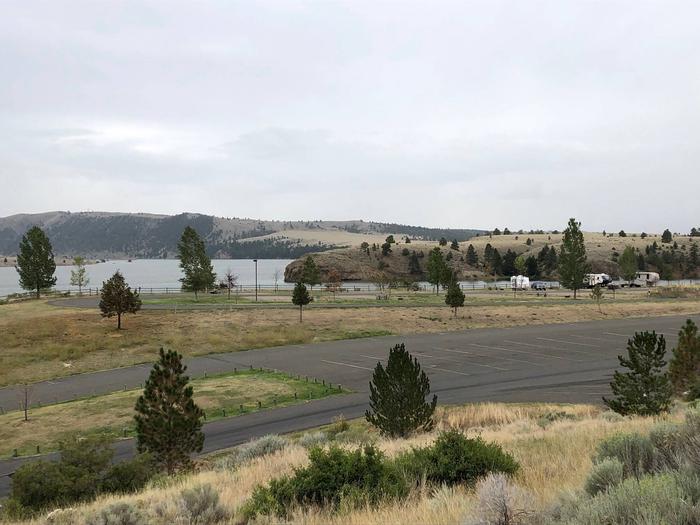
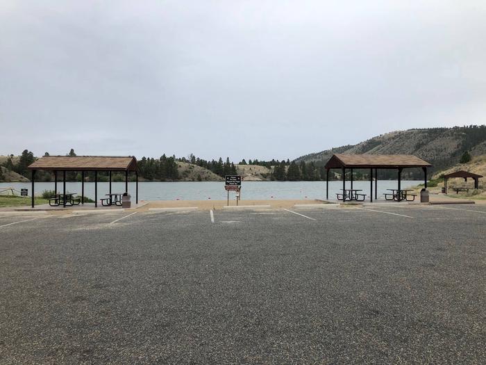
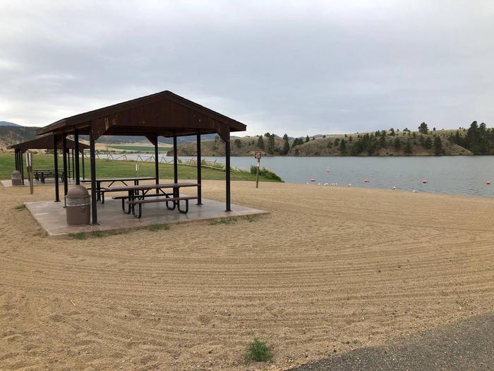
White Sandy offers excellent recreational access. There is a beach area, picnic areas, as well as a ramada/pavilion with power and lights, available by advanced reservation. There are vault toilets located in convenient locations throughout the site. There are trails throughout White Sandy as well as in the surrounding area. Additionally, there are multiple trails within the larger Hauser Lake Recreation area, as well as multiple fishing access sites, hunting access, wildlife viewing and of course, boating. World class mountain biking trails abound in the area as well. The recreation opportunities are truly boundless.
Facilities
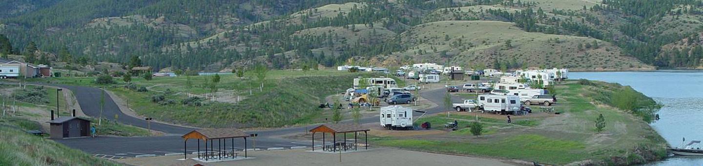
White Sandy offers several amenities that will make your stay enjoyable and comfortable. White Sandy is a 32-site campground that has spacious and level gravel parking pads that accommodate RVs, travel trailers and tents. Reservations are available for Loop A (Lake Side) and Group Site-Loop C, which accommodate both RVs and tents. Each campsite is large enough to accommodate any size RV or camper trailer in addition to extra room for tents and parking.
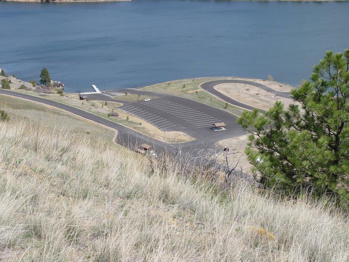
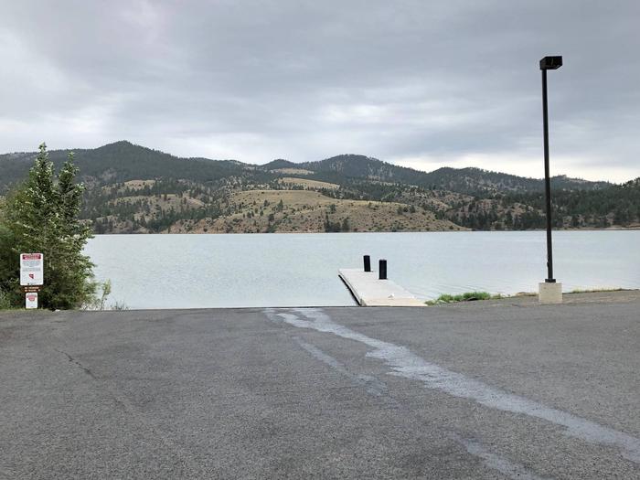
White Sandy features a large concrete boat launch with a courtesy dock, as well as areas to beach your vessel. A fish cleaning station is available near the day-use parking at White Sandy. There are vault toilets located in each loop of the campground as well as near the boat launch and beach area. There is potable water provided throughout the campground and day use areas as well as garbage dumpsters. Every campsite contains a fire ring with a grill grate in addition to a picnic table. There are also picnic tables and small pavilions throughout the area. There is a small general store across from the entrance to White Sandy, additionally, Black Sandy state park is located just 1/4 mile up the road, which offers an RV dump station which is free to use if you are staying at White Sandy.
Natural Features
The campground and day use areas are situated in a shrub-steppe landscape, mostly comprised of sage brush and bunch grasses. Every campsite has a view of the lake and mountains. While there are some ponderosa pine and deciduous trees throughout the area, they are scarce and do not provide a large amount of shade, but the lake does help keep the temperatures down a bit on those hot summer days.
Nearby Attractions
White Sandy is located in a prime location to get out and recreate outdoors, or within the capital of Montana. There are hundreds of miles of trails, Bureau of Land Management and Forest Service lands, state parks, the Lewis and Clark Trail and so much more.
Helena (only a short drive away) has all the amenities of a large city with small town charm. There are great restaurants, museums, the capitol building, old mining settlements, Last Chance Gulch, Reeder’s Alley and a vibrant downtown with a walking mall area.
Charges & Cancellations
Must be submitted through recreation.gov customer service.
Nearby Activities
- Biking
- Boating
- Camping
- Fishing
- Hiking
- Picnicking
- Winter sports
- Water sports
- Wildlife viewing
- Day use area
- Information site
- Photography
- Swimming
- Motor boat
- Ranger station
- Paddle boating
- Water activities
- Kayaking
- Canoeing
- Birding
- Water access
- Jet skiing
- Water skiing
- Windsurfing
- Whale watching
- Tubing
- Ice fishing
Gallery
Directions
From Helena drive north, from Great Falls drive south on I-15 to the Lincoln Road exit, turn east on Lincoln Rd and continue to the T-intersection with Hauser Dam Rd, turn left (North) and continue about 4 miles until you reach White Sandy Recreation Area directly in front of you on the right hand side of the road. If you get to Black Sandy state park, you have gone too far.
GPS Coordinates
Latitude 46° 44′ 27.3840″ N
Longitude 111° 53′ 19.5360″ W