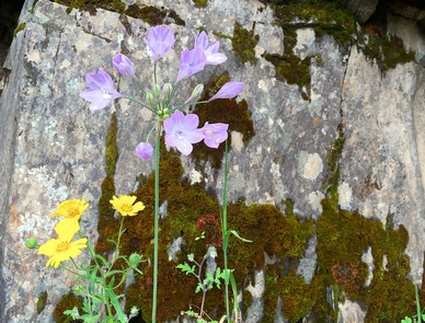
The North Fork Merced River joins the main stem Merced River 7 miles downstream from Briceburg. This is a lovely stream that is perfect for swimming in the early summer when the main Merced is too high. Springtime comes early around here (late February – April) and the wildflowers on the slopes of the North Fork Merced can be spectacular. There is a beautiful cascade about 3/4 of a mile upstream from the confluence that makes a great destination for a cool dip on a hot day.
Although most people explore the North Fork as a day outing, it makes a great short or introductory backpacking adventure. The North Fork Merced is approximately a one-hour (2.5 mile) walk from the Railroad Flat campground along the old Yosemite Valley Railroad Grade (also known as the Merced River Trail). Access is by trail or river only. Bring plenty of water or, better yet, pack a water filter.
Permits, Fees, Limitations:
Campfire permits are required for all fires. Fire restrictions that prohibit all fires go into effect each summer (extract dates unknown). No overnight permit required. Please follow Leave No Trace practices. Pack it in, pack it out. No glass bottles allowed within 1/4 mile of the Merced River.
PLEASE NOTE: Trailers over 18 feet and large RV’s are not recommended crossing the suspension bridge. The old Yosemite railroad grade is accessible by vehicles up to the Railroad Flat Campground. Only equestrian, pedestrians, and bicycles are permitted beyond the Railroad Flat Campground. Commercial lodging is available in the town of Mariposa.
Merced River Recreation Management Area
Gallery
Directions
The North Fork Merced is located seven (7) miles downstream from the Briceburg Visitor Center where is joins the Merced Wild & Scenic River. It can be accessed by trail or river only.
GPS Coordinates
Latitude 37° 36′ 48.3120″ N
Longitude 120° 3′ 25.0920″ W