Closure Notice: (posted 3-27-2020)
In accordance with guidance from the Centers for Disease Control and Prevention and with the Governor’s shelter in place order, the BLM will temporarily close this site until further notice to help limit the spread of COVID-19.
For a list of closures please visit our COVID-19 Update page
Overview
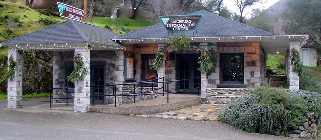
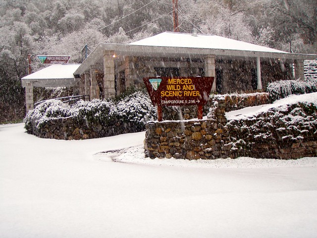
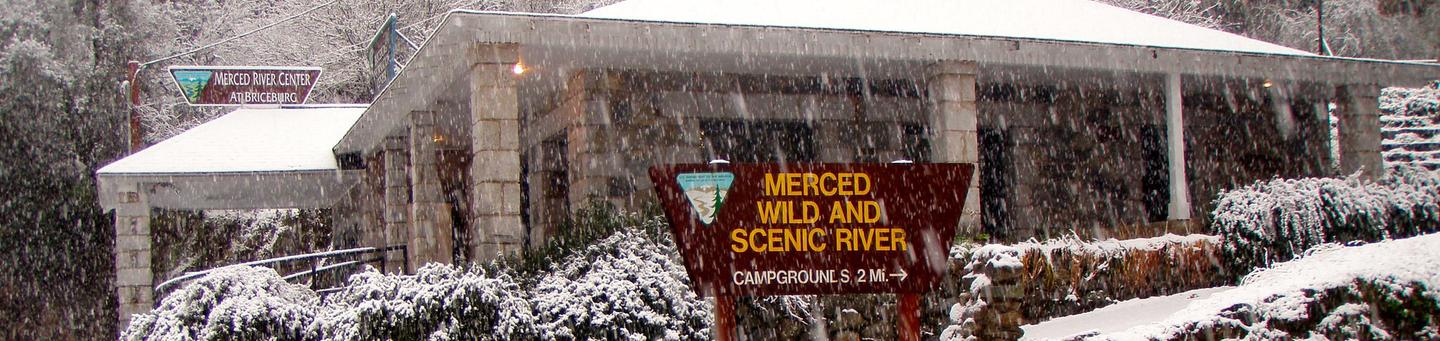
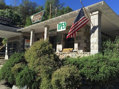
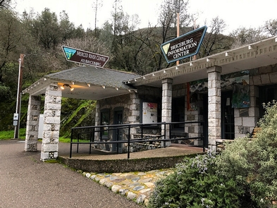
The Briceburg Visitor Center is located twelve (12) miles north-east of the town of Mariposa, California along Highway 140 at the Wild & Scenic Merced River. The Briceburg Visitor Center is situated at the entrance to the BLM, Merced River Recreation Management Area (RMA).
This historic stone building was built in 1926 as Highway 140 (the All-Weather Highway) into Yosemite was being built. Originally it was a general store for locals and tourist. Gasoline pumps were later added, and it served as a lodging inn and soda fountain over the years.
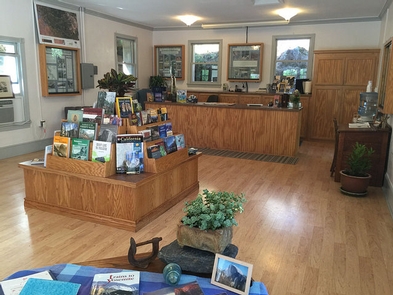
The BLM acquired the property in the 1980’s and refurbished the building to its near-original condition to be used as a visitor center. So please stop by for information about the BLM, Merced River Recreation Management Area and campgrounds, maps, books, and local history. This small visitor center is relaxed and inviting. Come on in for a conversation with local staff about Briceburg and the Greater Yosemite Area.
This Visitor Center is only open seasonally in spring and summer (first week of May through Labor Day). Emergency phone available.
HOURS: Friday: 1 pm – 5 pm, Saturday and Sunday: 9 am – 5 pm
PHONE: Briceburg Visitor Center (209) 379-9414
LOCATION: Where the highway meets the river … Hwy 140 at the Merced Wild & Scenic River. Twelve (12) miles east on Highway 140 from the Mariposa Visitor Bureau stop sign.
The Briceburg Day-Use Area and Put-in and/or Take-out is located just north of the Visitor Center and offers access to the Wild & Scenic Merced River (Class III-IV).
Merced River Recreation Management Area
Return To: BLM, Mother Lode Field Office
Gallery


Directions
From the city of Merced, located on U.S. Highway 99, travel 40 miles east on State Highway 140 to the town of Mariposa. Then travel another 12 miles along Highway 140 to the Briceburg Visitor Center at the Wild & Scenic Merced RIver.
GPS Coordinates
Latitude 37° 36′ 16.3944″ N
Longitude 119° 57′ 58.5612″ W