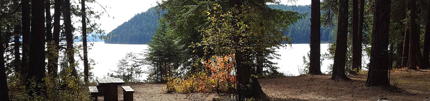
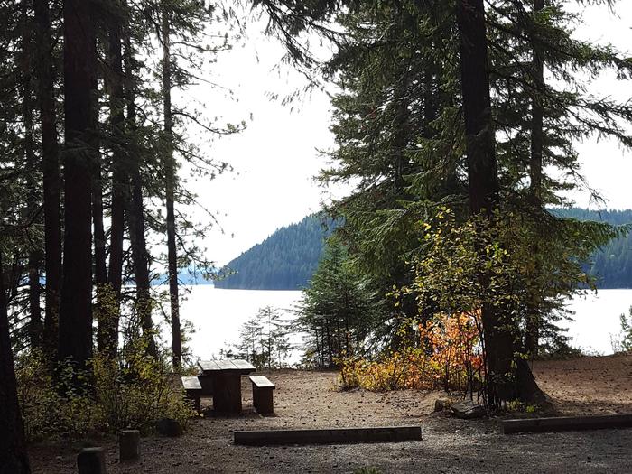
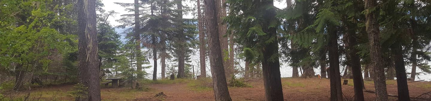
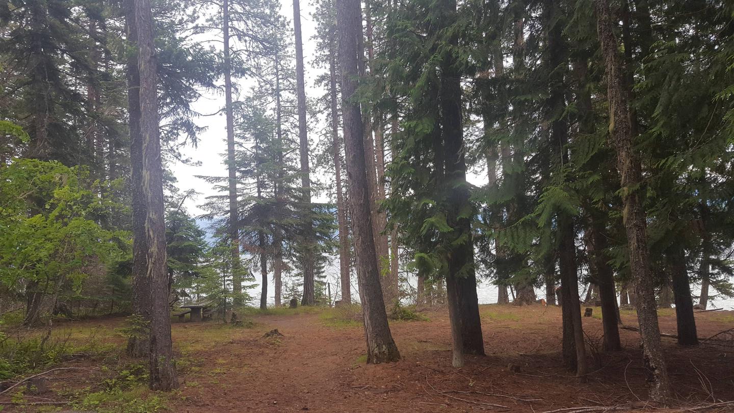
Reeder Bay Campground is a picturesque hideaway for nature immersion and relaxing water sports on Priest Lake. Campsites are shaded by a dense forest of cedar, fir and hemlock. Campers visit Reeder for its incredible beach that slopes down into the refreshing, clear lake.
Recreation
Wake boarding, jet skiing, bird watching and canoeing are among the many activities campers enjoy.
Hike the 8-mile Lakeshore Trail which passes through alder, pine, young cedar and open hillsides of brush, providing memorable scenic views throughout the journey.
Anglers seek Dolly Varden and cutthroat trout, as well as kokanee salmon, on the lake and nearby Priest River.
Facilities
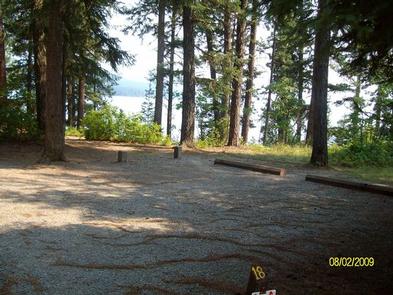
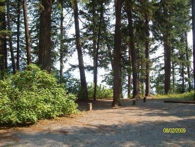
Reeder Bay boasts accessible facilities and paved roads and parking spurs. Amenities include a pressurized water system with hydrants, flush toilets and overflow gravel parking areas.
Natural Features
The campground is situated on the eastern shore of Priest Lake, nestled deep below the crest of the Selkirk Mountains. The lake spans 19 miles in length and reaches a depth of 300 feet. Priest Lake is noteworthy for its incredibly clear waters, fed by streams cascading from the high Selkirk peaks.
A variety of wildlife inhabits the surrounding area, including deer, elk, moose, grizzly and black bears, wolves and mountain lions.
Nearby Attractions
Explore the extensive trail system around the lake. The Upper Priest Lake Trail takes hikers and mountain bikers to the Upper Priest Lake Scenic Area, which can also be accessed by boat.
Nearby Activities
Biking
Boating
Camping
Fishing
Hiking
Canoeing
Gallery
Directions
From I-90 at Post Falls, turn north onto Highway 41 to Newport. Turn right on
Highway 2/200 east to Priest River. Turn north (left) on Highway 57 to Nordman
37 miles, then turn right at Y junction and drive 3 miles to Reeder Bay.
Luby Bay Campground is located near both Lamb Creek and Priest Lake. The campground is densely wooded with nicely secluded sites, and is within easy access to many great views of the Selkirk Mountains.
Recreation
Visitors enjoy kayaking, canoeing and power boating up the 3.5-mile thoroughfare that leads to the Upper Priest Lake Scenic Area. The upper lake cannot be accessed by car.
Fishing, swimming, birding and wildlife viewing are popular activities as well.
The Beach Trail #48 can be accessed from the campground. The 8-mile scenic excursion loops around the southern part of Priest Lake.
Facilities
Luby Bay has an upper and lower section. Upper Luby Campground has paved roads and gravel parking spurs. Lower Luby has paved parking spurs and the option of waterfront sites. Campground amenities include water hydrants, flush toilets and a dual-bay RV dump station.
Lower Luby has a large day use area perfect for picnics and group functions. A day use fee is collected for individuals not camping in the local Forest Service campgrounds.
An amphiteather is located in the recreation area and regularly hosts interpretive programs.
Natural Features
The campground sits at an elevation of 2,500 feet on the western shores of Priest Lake. Campsites are shaded by hemlock and cedar.
Priest Lake consists of the main lake where most water recreation takes place. To the north, the lake connects via a narrow channel with Upper Priest Lake.
Nearby Attractions
Off-road vehicle enthusiasts will find authorized trails like the Peewee Trail, Steep Creek Trail and John Wayne Trail. In winter, hundreds of miles of groomed trails beckon nordic skiers and snowmobile riders.
Nearby Activities
Boating
Climbing
Camping
Fishing
Hiking
Water sports
Wildlife viewing
Swimming site
Kayaking
Canoeing
Berry picking
Jet skiing
Water skiing
Scuba diving
Gallery
Directions
From I-90, east or west, turn at Post Falls, Idaho on Highway 41 going north
to Newport, Washington. Take Highway 2 east to Priest River. At the junction of Highways 57 and 2, turn left at the stop light (there is only one in town) onto Highway 57. Go 28.5 miles to Lamb Creek Village. Turn right on Luby Bay Road. Go 1.5 miles to the stop sign. Turn left on W. Lake Shore Road and proceed 0.5 miles to the campground.
From Sandpoint, Idaho, take Highway 2 west 22 miles to Priest River. At the junction of Highways 57 and 2, turn right at stop light (there is only one in town) onto Highway 57. Go 28.5 miles to Lamb Creek Village. Turn right on Luby Bay Road. Go 1.5 miles to the stop sign. Turn left on W. Lake Shore Road and proceed 0.5 miles to the campground.
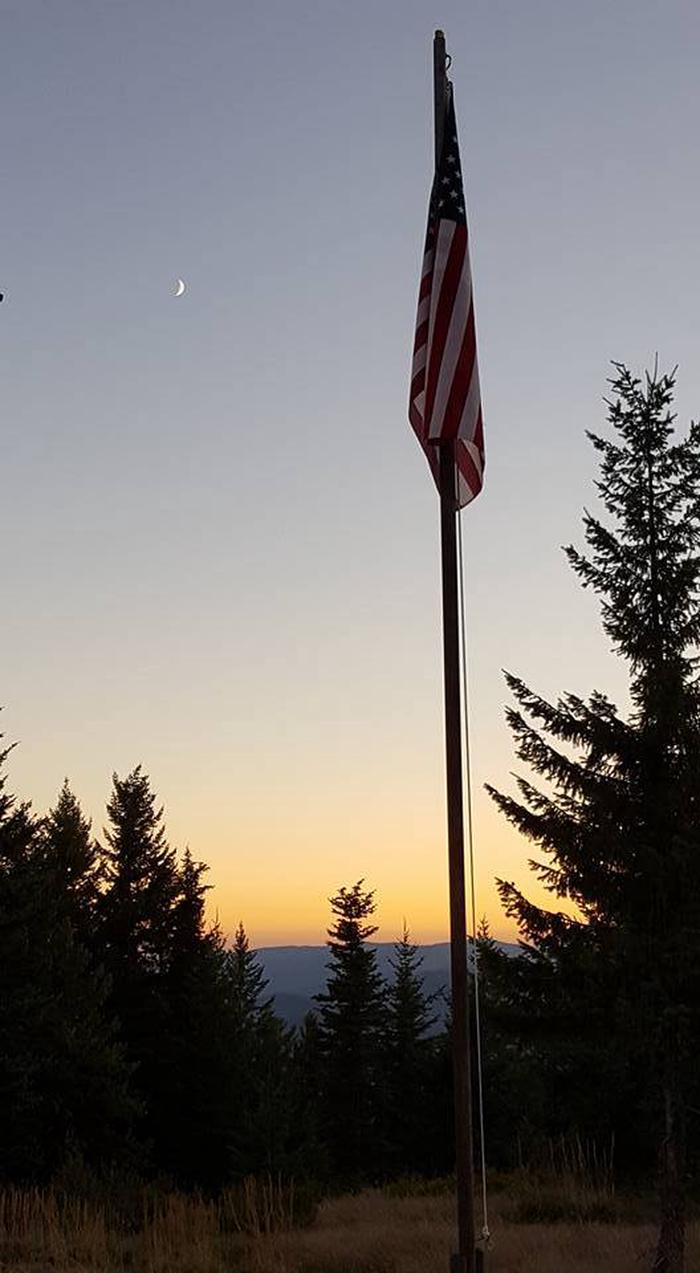
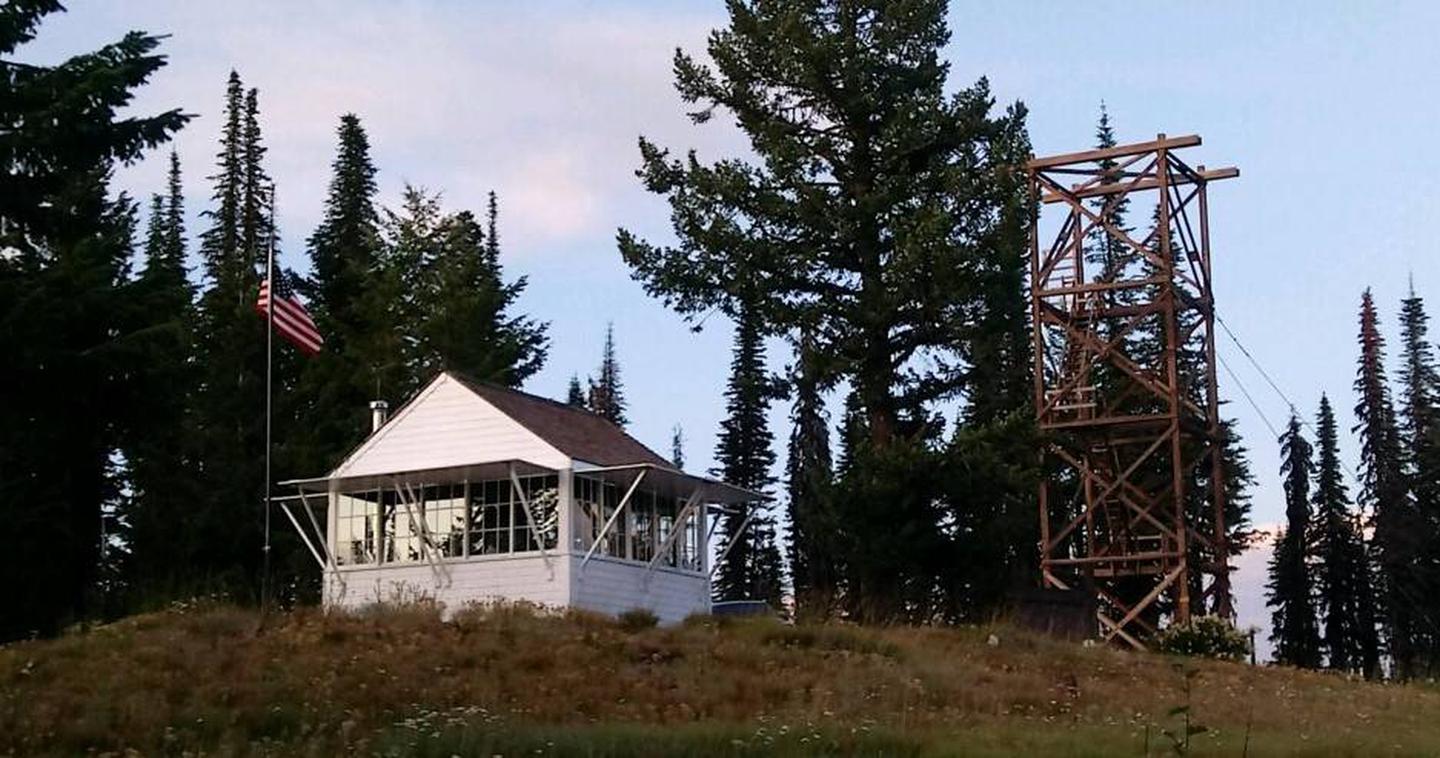
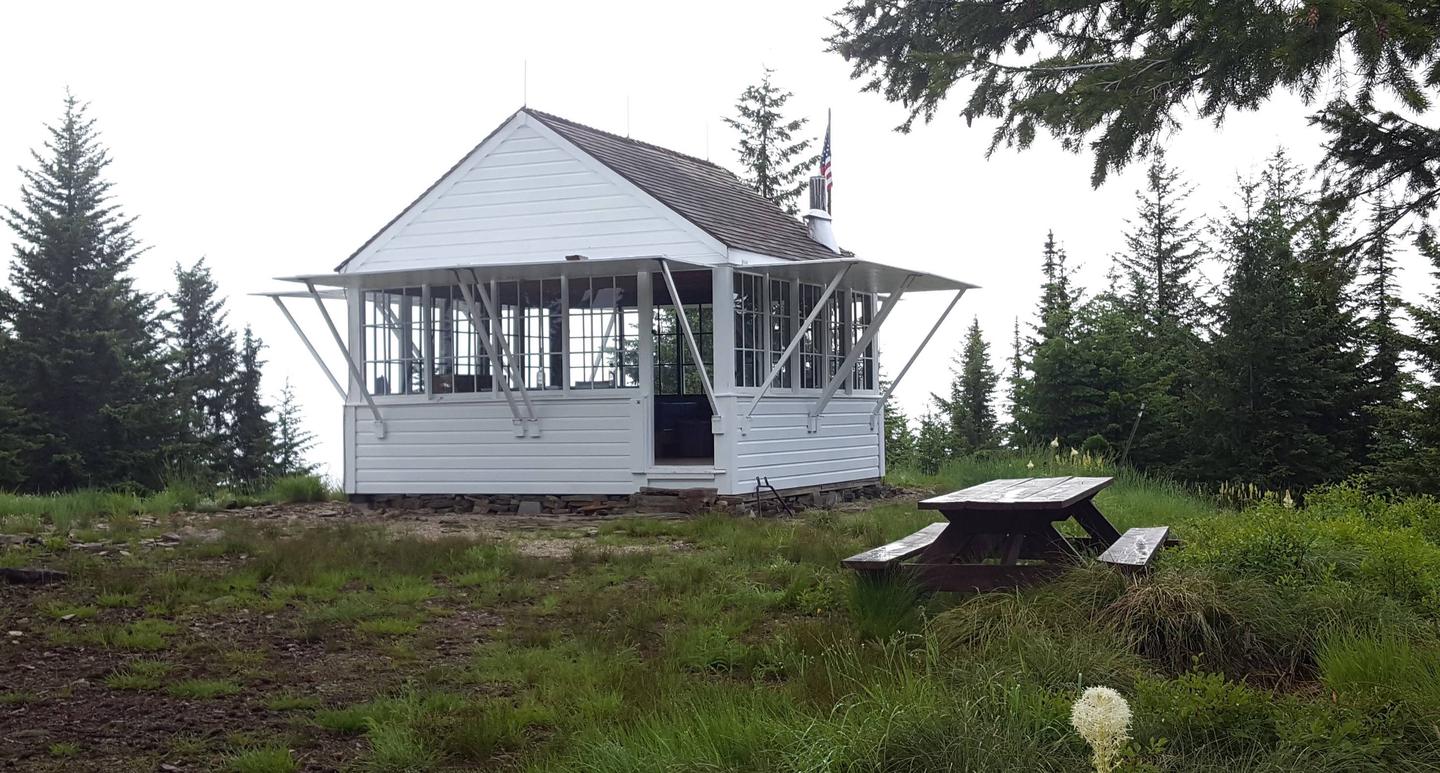
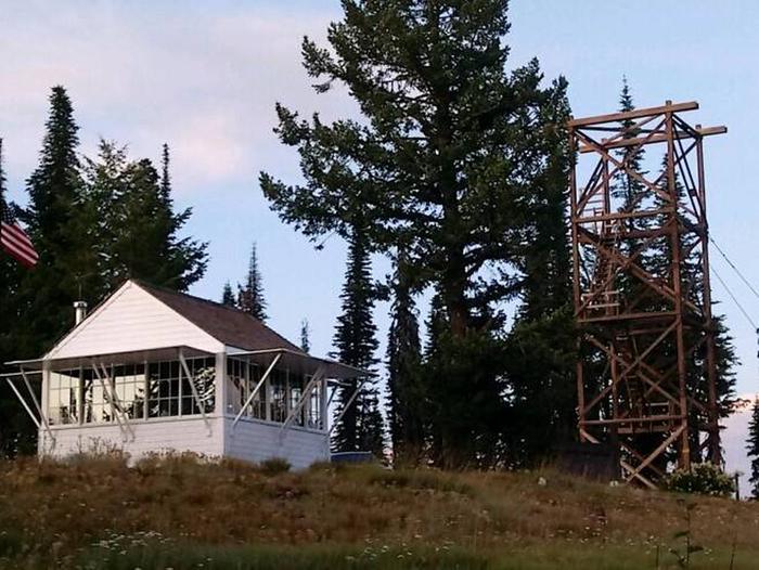
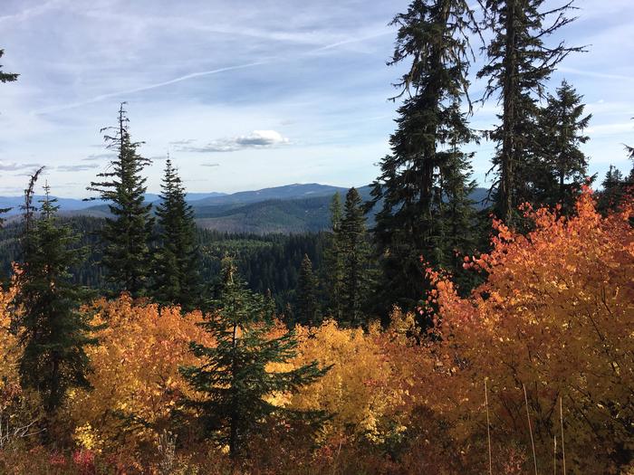
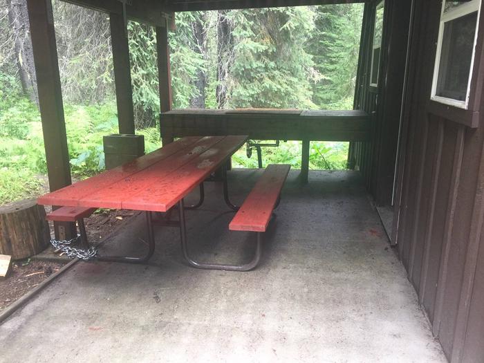
Spyglass Lookout Ground House is located on Spyglass Peak, in the heart of the Coeur d’Alene River Ranger District, Idaho Panhandle National Forests. It’s approximately 2.5 miles east and slightly south, as the crow flies, of the Magee Historic Site.
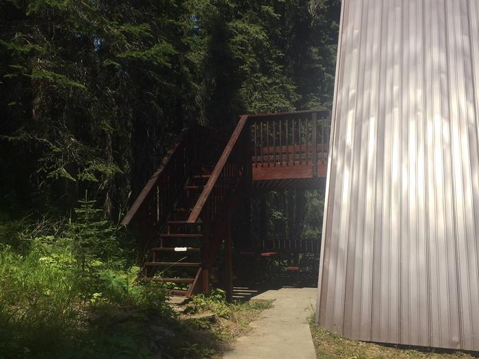
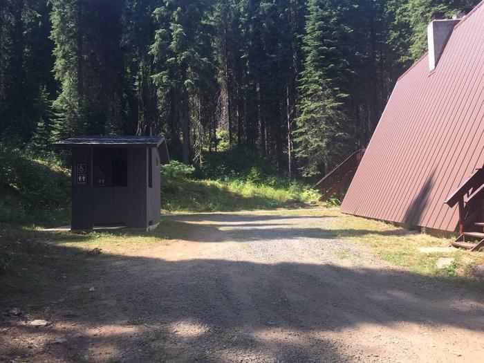
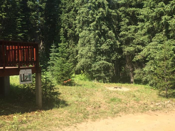
The Spyglass Lookout site is listed on the National Historic Lookout Register. It was first used as a patrol point in 1911 and by the 1920s supported a tower and housing for forest fire lookouts. It was an operational lookout until the mid- to late 60s and then abandoned in the 1970s. Current structures on the site include a 53-foot tower support structure (the hipped roof L-4 cab having been removed in 2014), a 1930s gable roofed ground house used as a residence for lookouts when the site was operational, and a 1930s Civilian Conservation Corps (CCC) constructed outhouse. Extensive restoration of the ground house for use as a recreation rental cabin began in 2012 and was completed in 2019.
Recreation
The cabin provides access to several non-motorized hiking trails and a popular fishing stream for day excursions in the surrounding area. The trailhead for Fearn Creek (Trail #407) is about 1 1/2 miles from the cabin and the upper trailhead for Halsey Creek (Trail #451) is about 2 miles from the site. Within 8-10 miles of the cabin are trailheads for Boundary Peak (Trail #325), the lower end of Halsey Creek Trail, and the lower end of Little Elk Creek (Trail #32). Also within this range is Tepee Creek, a favorite fly fishing stream with a westslope cutthroat trout fishery. Slightly further, but still within range of a day outing is Independence Creek National Recreation Trail (Trail #22). This trail offers opportunities for hiking, mountain biking, horseback riding, and motorcycle riding.
Facilities
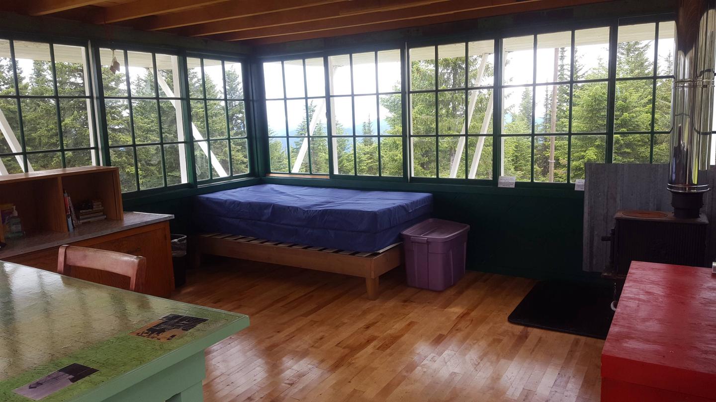
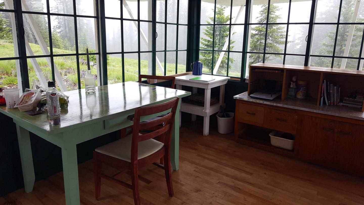
The ground house measures 14 x 14 feet and offers a dry cabin camping experience for 4 guests; there is no water or electricity. There are two new single mattresses and one bedframe to provide sleeping accommodations for two, with one mattress on the floor. Additional guests may need to provide their own sleeping pads or cots. There are kitchen table and chairs, a Jotul woodstove, wood box, and storage cabinet with basic dishes and eating utensils. There is no refrigerator or cooking stove. Outside the cabin is a picnic table and fire pit. The outdoor pit toilet is located about 150 feet from the cabin and is supplied with biodegradable toilet paper. Visitors should bring plenty of water for drinking and washing up, sleeping bags, matches or lighter, newspaper, garbage bags, flashlight, an ice chest for food storage, battery or propane lanterns, a propane cook stove, dish soap, towels and wash cloth, toiletries, insect repellent, first aid kit, extra toilet paper (just in case), and warm clothes.
Natural Features
Spyglass Peak is situated at 5,190 feet in elevation and is surrounded by the Coeur d’ Alene Mountains. From vantage points near the cabin, vistas of ridgetops, forested slopes, and drainages of the North Fork Coeur d’Alene River and tibutaries extend as far as the eye can see. Wildlife in the area include moose, elk, whitetail deer, mule deer, wolf, black bear, mountain lion, fisher, ground squirrels, grouse, and goshawks, as well as other birds and many small mammals.
Nearby Attractions
Fishing streams, non-motorized hiking trails, motorcycle trail, Magee Historic Site
Nearby Activities
Historic & cultural site
Camping
Fishing
Hiking
Hunting
Picnicking
Wildlife viewing
Fire lookouts/cabins overnight
Photography
Mountain biking
Berry picking
Birding
Scenic drive
Mushroom picking
Lookout tower
Gallery
Directions
From I-90 take Exit #43 (Kingston) and drive 24 miles north on Forest Highway 9 (2-lane and paved) to Prichard Junction. Continue on Forest Road 208 for 28 miles to the end of the pavement and the start of Forest Road 6310 (a gravel road with large rocks and potholes). Travel 7 miles to Magee historic site and continue a short distance to the junction of Roads 6310 and 422. Left on Road 422 for about 1/2 mile, then left on Road 265. Cross the bridge over Tepee Creek and continue on Road 265 for 6 miles to the top of the ridge and look for a gate on the right. This is the bottom of the access road to Spyglass Lookout Ground House. Road 265 is a windy, single lane road with ruts and limited turnouts. Use caution and go slow. Travel time from Coeur d’Alene is approximately 2 hours and 15 minutes.
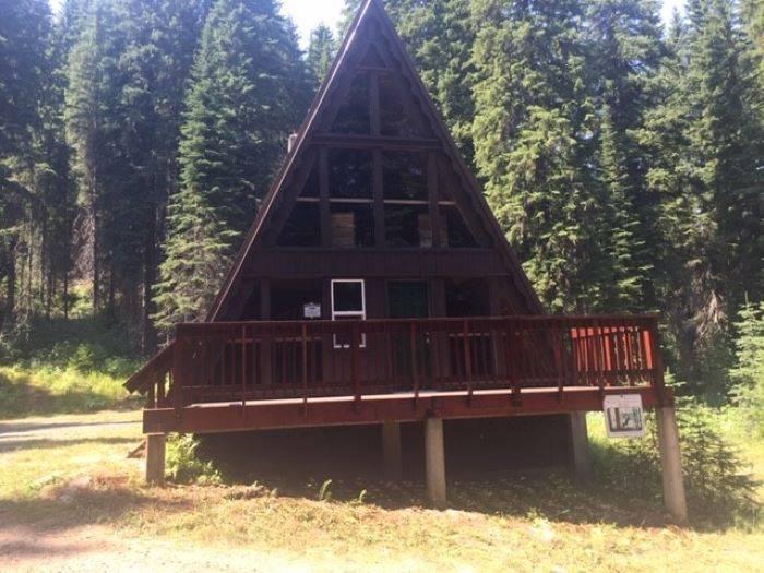
Beaver Creek A-Frame is located on the St. Joe Ranger District of the Idaho Panhandle National Forests in the heart of the Bitterroot Mountains. It is only a few miles from the St. Joe Wild and Scenic River and the historic Red Ives Ranger Station. The area is well known for its abundance of outdoor activities, such as site seeing, hiking, ATV/UTVing, fishing, and hunting. There is no cell service in the area.
Recreation
ATVing, UTVing, hiking, hunting, fishing, berry picking, site seeing.
Facilities
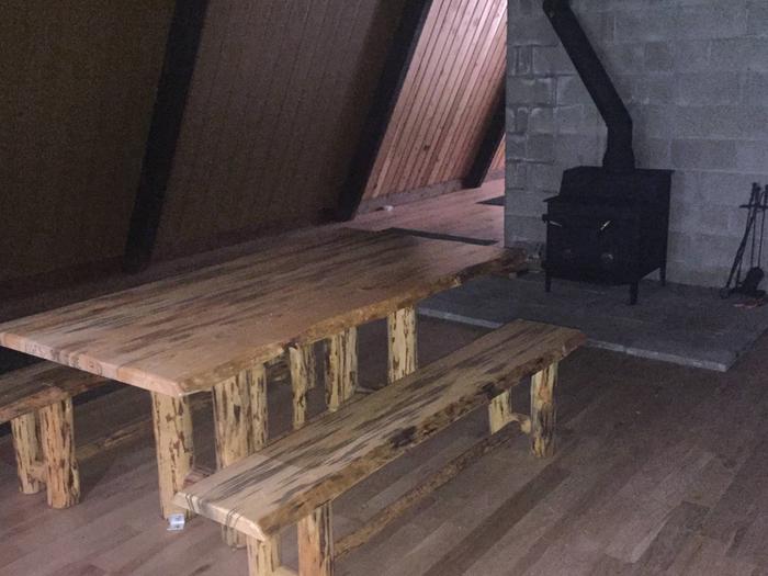
Beaver Creek A-Frame is a rustic cabin. The cabin is furnished with only a picnic table and woodstove. It is 1900 sq. ft with an upstairs, 2 decks, and covered outside cooking area. There is a small creek in close proximity as well as a vault toilet. The cabin can fit eight people.
Natural Features
Beaver Creek A-Frame is located on the Beaver Creek Drainage which is heavily forested, rugged, and remote.
Nearby Attractions
Historic Red Ives Ranger Station, St. Joe Wild and Scenic River, Mallard Larkins Pioneer Area, Snow Peak WMA. Closest towns with amenities are St. Regis, MT (approx 39 miles) and Avery, ID (approx 40 miles). There are also many miles of nonmotorized and motorized trails in the area.
Nearby Activities
Fishing
Hiking
Hunting
Wildlife viewing
Mountain biking
Off road vehicle trails
Berry picking
Off highway vehicle trails
Gallery
Directions
From St. Maries, ID – Highway 50 (St. Joe River Rd) east approx 76 miles to Red Ives Road 218 – approx 8 miles on 218 to Beaver Creek Road 303 – 3 miles to cabin
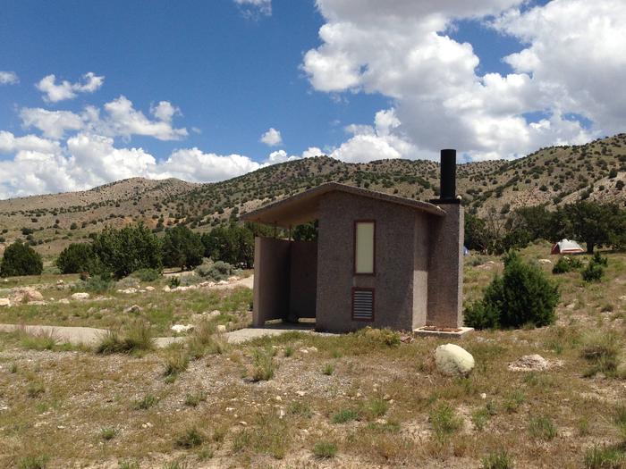
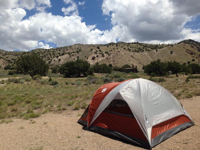
Little Creek Campground is located three miles of west of the town of Randolph in Rich County, Utah, at an elevation of 6,380 feet. This is a great staging area for your next family adventure, including nearby fishing, hunting, boating, OHV riding, mountain biking, and tent or RV camping.
Recreation
Little Creek is a great staging area for fishing, hunting, boating, OHV riding, mountain biking, and tent or RV camping.
Facilities
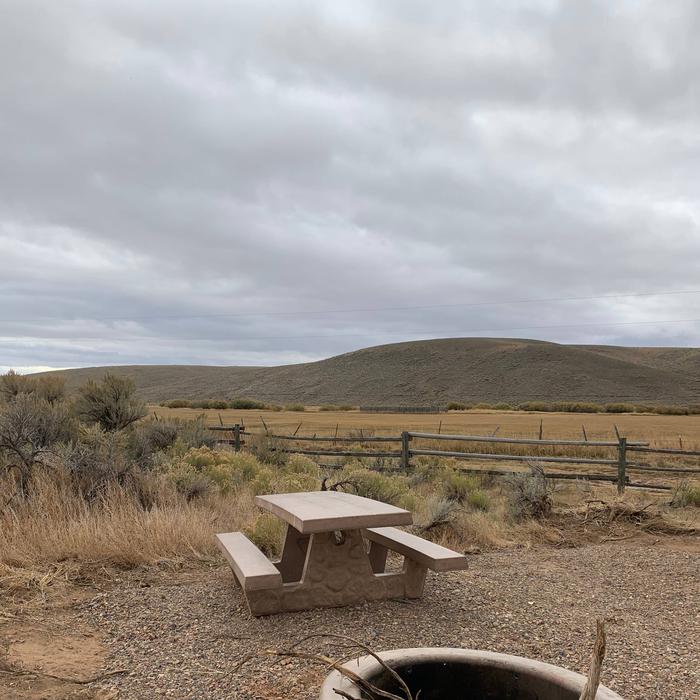
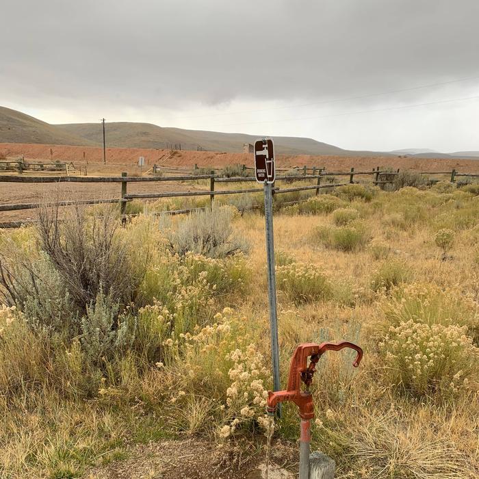
9 individual campsites, 1 group site. All sites have picnic tables, fire rings, parking areas and access to potable water (seasonally) and pit toilets.
Natural Features
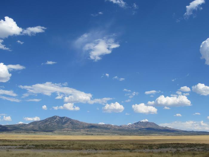
Little Creek Reservoir
Gallery
Directions
From Randolph, Utah drive west on Little Creek Road (FS 058) for approximatly 3 miles.
Simpson Springs Campground provides 20 campsites. The campground is situated on the eastern edge of Utah’s West Desert near the historic Simpson Springs station on the Pony Express National Historic Trail. Simpson Springs was the site of a significant Civilian Conservation Corps (CCC) camp in the late 1930s and early 1940s, just prior to the establishment of the US Army Dugway Proving Grounds during World War II.
Campground is along the Pony Express National Historic Trail.
Nearby Attractions
Historic Pony Express National Historic Trail site and visitor interpretation.
Gallery
Directions
From I-80, take exit 199 (Tooele) and travel south on Highway 36 for approximately 40 miles. Turn right onto the Pony Express Road and travel for approximately 25 miles. The campground is approximately 12 miles south of Dugway, Utah, on the Pony Express Road.
The Painted Rock Petroglyph Site and Campground is located approximately 90 miles southwest of Phoenix, Arizona. The site provides visitors the opportunity to view an ancient archaeological site containing hundreds of symbolic and artistic rock etchings, or “petroglyphs,” produced centuries ago by prehistoric peoples. There are also inscriptions made by people who passed through during historic times. Several historic trails lie within the campground. The Juan Bautista de Anza National Historic Trail, The Butterfield Overland Stage Route and the Mormon Battalion Trail are three trails that played prominent roles in the history of Arizona and the American West. Visitors can learn about the site and historic trails through professional interpretive panels located on the site.
Overnight camping is allowed at the adjacent Painted Rock Petroglyph Campground. The campground has picnic tables, grills, steel fire rings, and a vault toilet. No potable water is available at the facility.
Nearby Activities
Historic & cultural site
Camping
Hiking
Horseback riding
Hunting
Picnicking
Wildlife viewing
Day use area
Directions
Exit Interstate 8 at Painted Rock Dam Road/Exit 102, approximately 12.5 miles west of Gila Bend. Travel north on Painted Rocks Dam Road 10.7 miles to Rocky Point Road. Painted Rocks Petroglyph Site is 0.6 miles west of Painted Rock Dam Road on Rocky Point Road.
The John F. Kennedy Presidential Library and Museum is dedicated to the memory of our nation’s thirty-fifth president and to all those who through the art of politics seek a new and better world.
Located on a ten-acre park, overlooking the sea that he loved and the city that launched him to greatness, the Library stands as a vibrant tribute to the life and times of John F. Kennedy.
Come tour our Museum which portrays the life, leadership, and legacy of President Kennedy, conveys his enthusiasm for politics and public service, and illustrates the nature of the office of the President.
Students and scholars can also arrange to conduct research using our collection of historical materials chronicling mid-20th century politics and the life and administration of John F. Kennedy.
The Kennedy Library is one of 11 Presidential Libraries administered by the National Archives and Records Administration.
Directions
The Kennedy Library is located on Columbia Point in Boston, close to route I-93.
The Library and Museum is easily accessed by public transportation. Take the MBTA Rapid Transit, Red Line (any red line train) to JFK/UMASS Station. There is a free shuttle bus to the Library every 20 minutes beginning at 8:00 a.m. and running until Museum closing. Please take the buses marked “JFK.”
From the South by automobile: Take route 3/I-93 (Southeast Expressway) to exit 14. At the end of the ramp, merge onto Morrissey Boulevard. Follow the signs to the JFK Library and Museum and the University of Massachusetts.
From the North by automobile: Take route I-93 or I-95 south to Boston and onto the Southeast Expressway (route3/I-93). Take exit 15 and follow the signs to the JFK Library and Museum and the University of Massachusetts.
From the West by automobile: Take the Massachusetts Turnpike (route I-90) to “Expressway South” (route 3/I-93), southbound to Exit 15. Follow signs to the JFK Library and Museum and the University of Massachusetts.
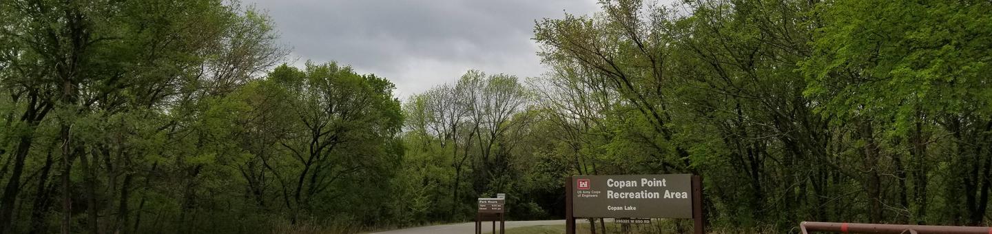
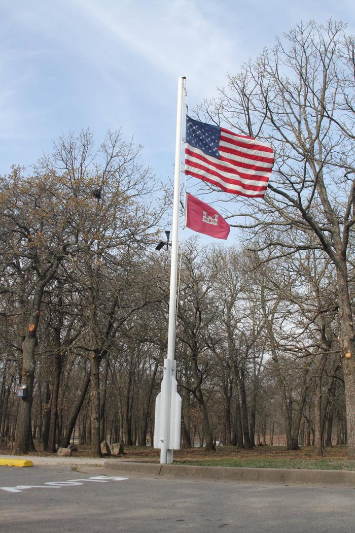
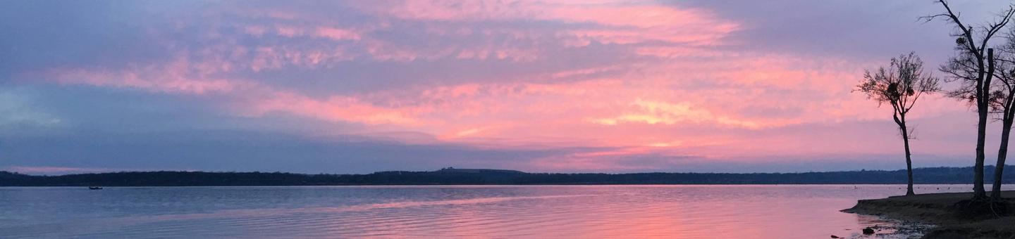
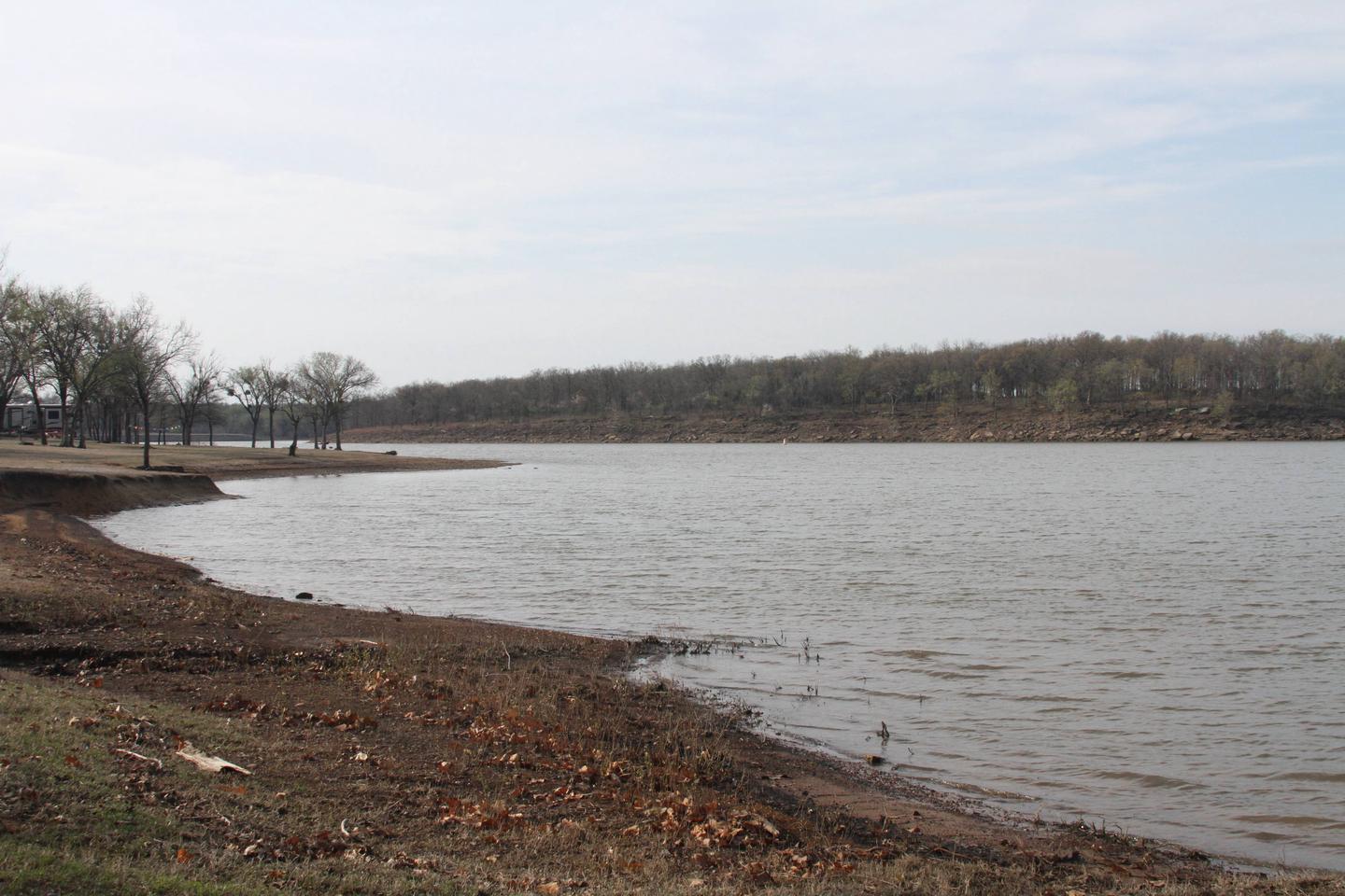
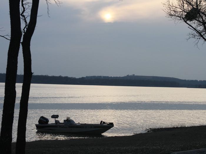
Copan Point is a day-use area located on the banks of Copan Lake in Oklahoma’s Green Country. Camping, boating, picnicking and fishing are popular activities here.
Recreation
Copan Lake offers its visitors extensive opportunities for a memorable outdoor recreation experience. The lake is home to many species of game fish, including largemouth bass, white crappie, channel and flathead catfish, and various species of sunfish.
Hikers and horseback riders enjoy exploring the area on a 3 mile trail that winds through the wooded and open meadows of the lake shore.
11,000 acres of land around the lake have been set aside for wildlife management. These lands are open for public hunting of deer, waterfowl, bobwhite quail, turkey, cottontail rabbit and squirrel.
Facilities
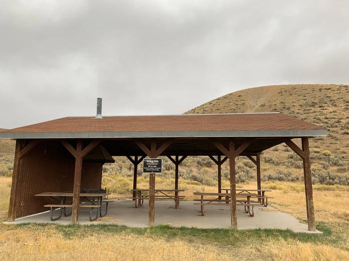
This day-use area offers one group picnic shelter that can accommodate up to 45 people. Amenities include flush and pit toilets, drinking water, and picnic sites with utility tables, grills and fire pits. A boat ramp with a courtesy dock, seperate fishing dock and a swimming beach with a volleyball court are also within the park.
Natural Features
The 4,850-acre lake sits on the Little Caney River among a prairie landscape of grasslands and croplands.
Nearby Activities
Boating
Fishing
Hiking
Day use area
Swimming site
Gallery
Directions
From HWY 75, travel 2 miles west on HWY 10 and 1 mile north on County Road 3970, then turn left on W 850 Road and go 1 mile to the park.
Washington Cove Campground is located on the banks of Copan Lake in Oklahoma’s Green Country. Camping, boating, picnicking, hunting, and fishing are popular activities.
Recreation
Copan Lake offers its visitors extensive opportunities for a memorable outdoor recreation experience. The lake is home to many species of game fish, including largemouth bass, white crappie, channel and flathead catfish, and various species of sunfish.
Hikers and horseback riders enjoy exploring the area on 3 miles of trails that wind through the woods and open meadows of the lakeshore.
11,000 acres of land around the lake have been set aside for wildlife management. These lands are open for public hunting of deer, waterfowl, bobwhite quail, turkey, cottontail rabbit and squirrel.
Facilities
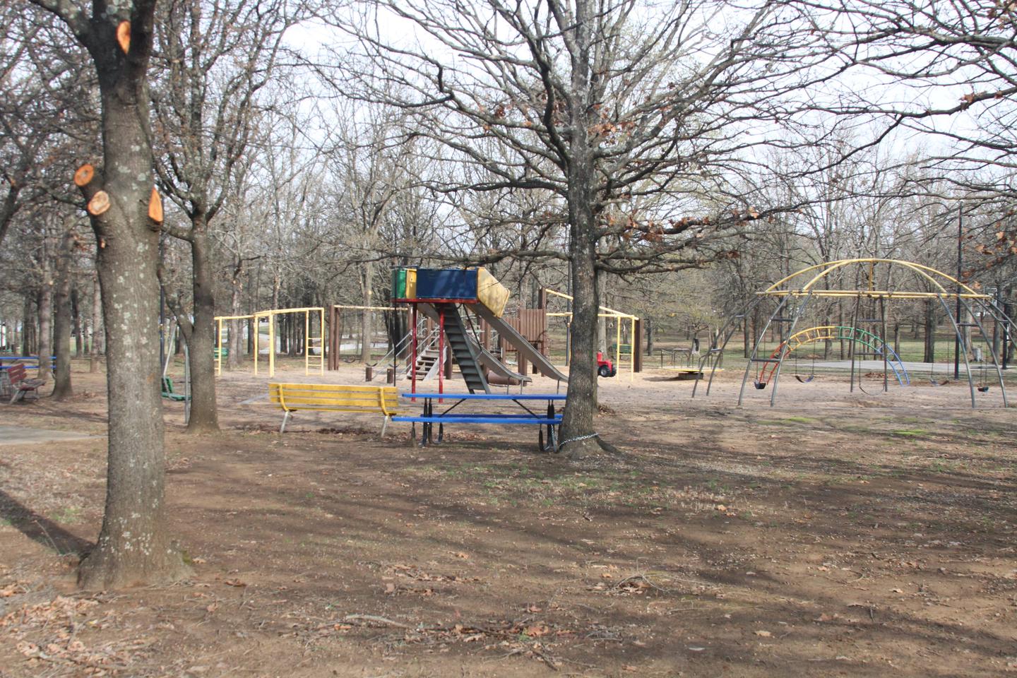
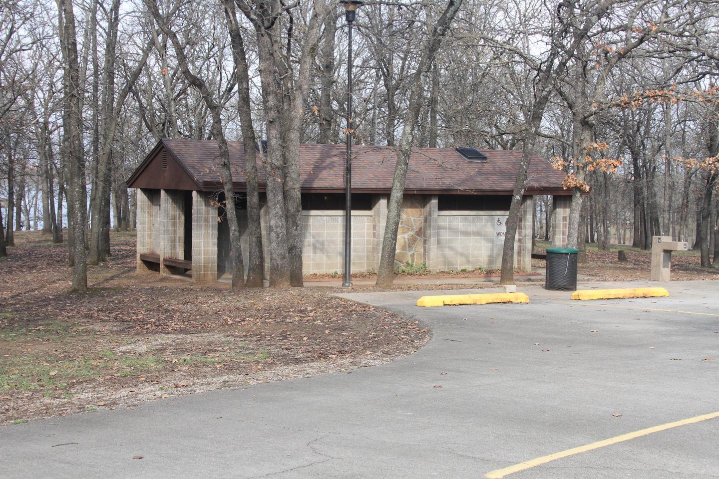
This large campground contains 101 sites with electric hookups. One day-use group picnic shelter is also available. Amenities include flush and pit toilets, showers, drinking water, a dump station, boat ramp and playground.
Natural Features
The 4,850-acre lake sits on the Little Caney River among a prairie landscape of grasslands and croplands. The campground is encircled by a wooded area and shade is available throughout the park.
Nearby Activities
Camping
Hiking
Gallery
Directions
Take Highway 10 approximately one mile west of Highway 75, then follow 3970 Rd about two miles to the North. Follow signs into the campground.