Categories
Uncategorized

AVERY CREEK CABIN

Overview

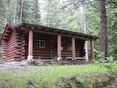
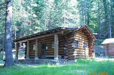
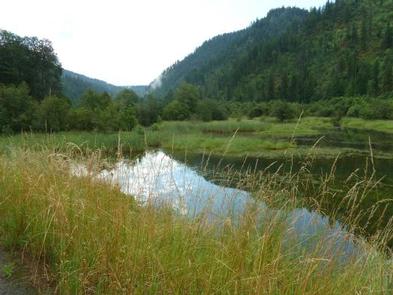
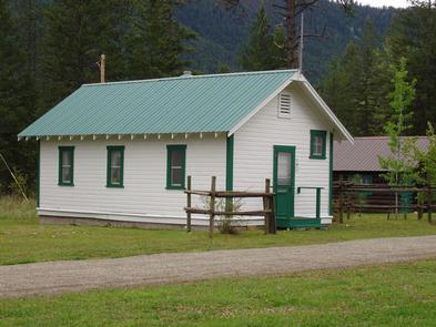
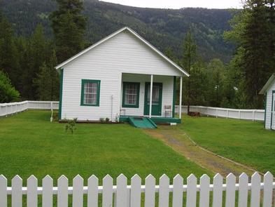
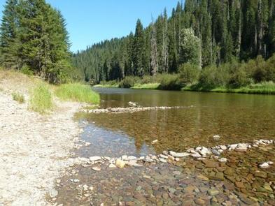
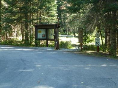
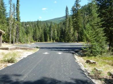
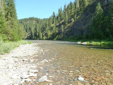
Avery Creek Cabin is located 20 miles northeast of Kingston, Idaho, along Forest Road 208. The fully furnished three-room cabin is adjacent to the North Fork Coeur d’Alene River on the Coeur d’Alene River Ranger District in the Idaho Panhandle National Forests.

The cabin was built between 1926 and 1928 to house Forest Service employees needed for administrative supervision and fire protection. It was built from a standard Forest Service plan known as the firemen’s cabin. In 1935, a picnic area was constructed by the Civilian Conservation Corps across the road from the cabin and adjacent to the North Fork of the Coeur d’Alene River. In 1940, a bathroom was added in a board and batten shed addition to the cabin’s east side, and a rustic log garage was built behind the cabin. The cabin was used for crew housing until 1981.

Newly renovated, the cabin is now fully accessible. Avery Cabin’s central location along the North Fork Coeur d’Alene River provides easy access to the site. Access to the cabin is along paved roadways, making it an easy destination to reach by car. The cabin is available from mid-May through September, and provides many of the comforts of home. Guests only need to bring a few of their own amenities for an enjoyable stay.

Recreation

Guests can enjoy fishing for cutthroat or rainbow trout in the river. Check Idaho Fish and Game regulations for restrictions. Tubing is also a popular
river activity.

Hikers can enjoy a short hike to Centennial Falls. Non-motorized trails in the area include Lost Creek Trail, Settler’s Grove Botanical Area and Shoshone Ridge.
Motorized trails include Graham and Coal Creek. These trail systems require some travel, but offer a variety of opportunities for outdoor enthusiasts.

Facilities

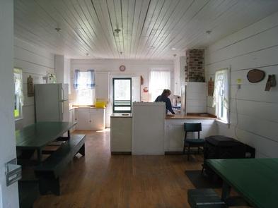
The cabin can accommodate six people and has a living room, kitchenette, bedroom, bathroom and a covered porch. The kitchenette is equipped with an electric range, refrigerator, basic cookware, dishes and utensils. The sink has hot and cold water. The water is drinkable and supplied by a well system that is not chemically treated. Water quality testing is performed regularly.

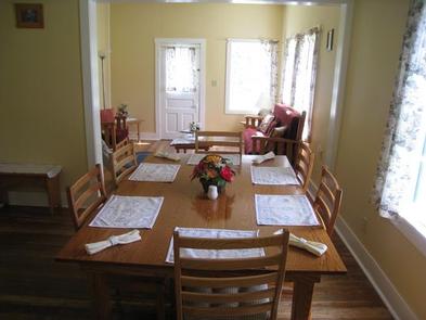
A fold-out couch, dining table and four chairs are in the living room. The cabin has electric baseboard heat. The bathroom has a flush toilet, sink, shower stall and mirror. The bedroom is equipped with a double bed and a set of bunk beds.

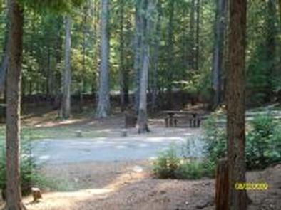
A picnic table, barbecue grill and campfire ring are provided outside. Four resin chairs are supplied on the front porch.

Guests should bring sleeping bags, flashlights, matches and newspaper, a first aid kit and garbage bags. All trash and food must be packed out, and guests are expected to clean the cabin before leaving.

Natural Features

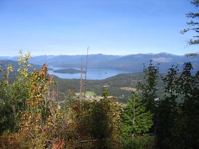
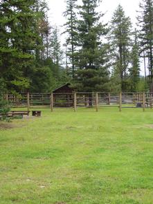
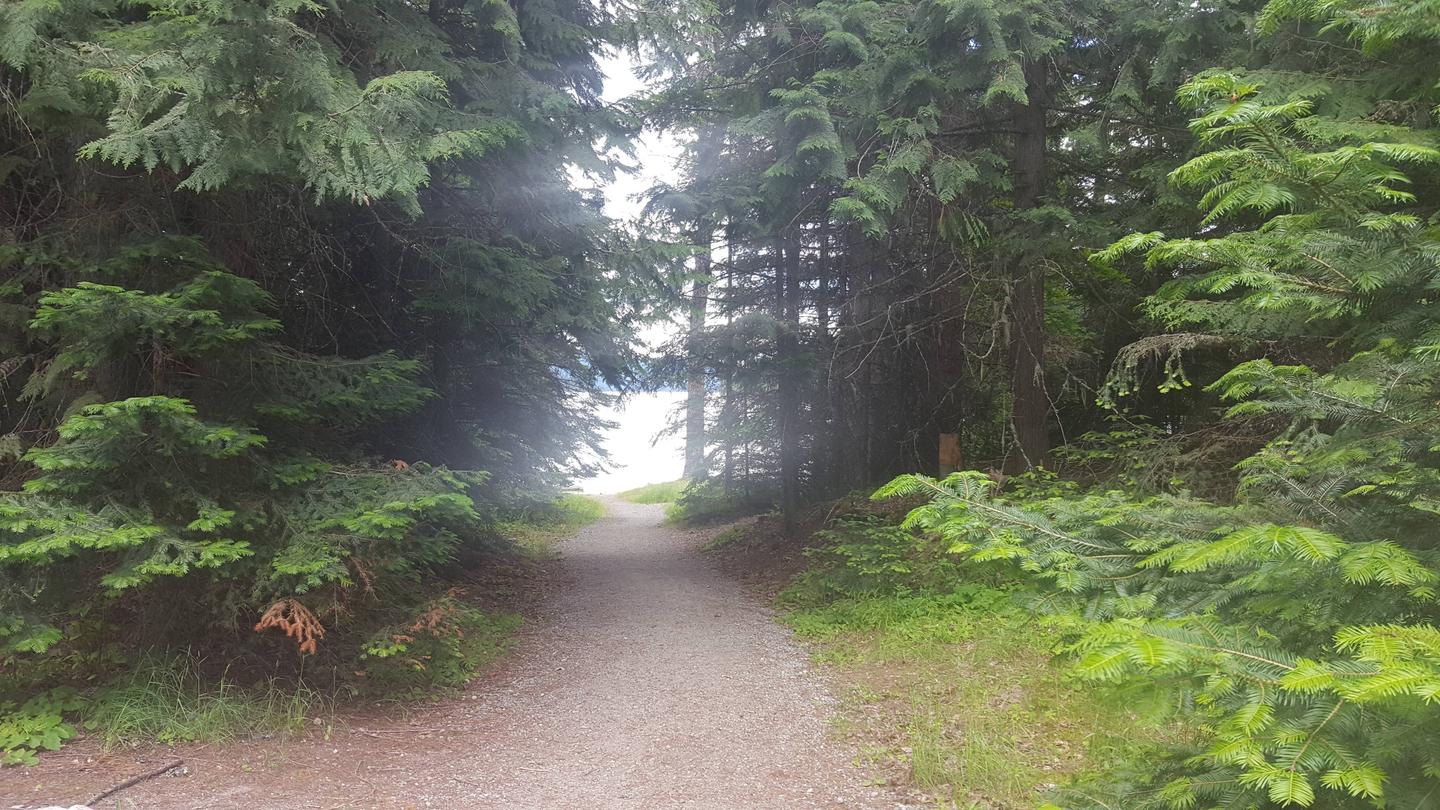
Located in the heart of the Coeur d’Alene Mountains along the North Fork of the Coeur d’Alene River, Avery Creek Cabin is situated in a small grassy area surrounded by an evergreen forest at an elevation of 3,000 feet.

From lush evergreen mountains to the banks of winding rivers, the Idaho Panhandle National Forests create a tapestry of land and water in northern Idaho. Rich in wildlife, the forest is home to large game such as elk and deer, as well as species such as grizzly bears, wolves and caribou that add to the sense of wildness.

Nearby Activities

  • Biking
  • Boating
  • Camping
  • Fishing
  • Hiking
  • Water sports
  • Swimming site

Gallery

Directions

From I-90, take Exit 43 (Kingston); travel 23 miles north on Forest Highway 9, then continue straight for 3 miles on Forest Road 208 (2-lane paved highway) to Avery Cabin. The cabin is approximately 200 feet past milepost 26. Avery Picnic Area is directly across Forest Road 208. From Coeur d’Alene, travel time is about 1 hour.

GPS Coordinates

Latitude 47° 41′ 17.0002″ N

Longitude 115° 55′ 36.0001″ W

Categories
Uncategorized

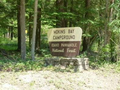
MOKINS BAY CAMPGROUND

Overview

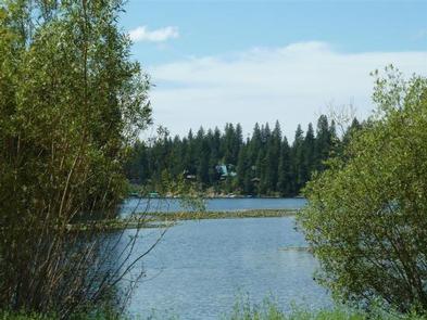
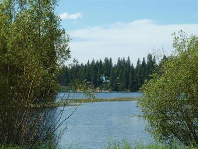
Mokins Bay Campground is located near the eastern shore of Hayden Lake in northwest Idaho. Its picturesque setting in the northwest portion of the Bitterroot Mountain range, known as the Coeur d’Alene mountains, creates solitude in a forested setting at this campground. The lake is a 10 minute walk from the campground.

Recreation

Fishing is popular in the surrounding lakes and streams, and cutthroat trout and large and small-mouth bass are the most common catches. Power boating and other water sports are also popular activities.

Facilities

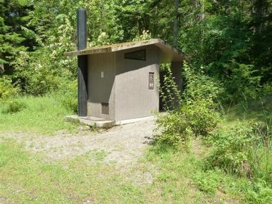
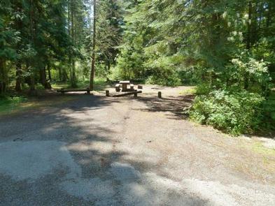
Drinking water, grills, paved parking spurs and vault toilets are among the amenities at Mokins. A horseshoe pit is also onsite. Access to campground is on a gravel road.

Natural Features

The small campground is surrounded by a heavy canopy of pines. Wildflowers like trillium and buttercups thrive in the springtime, creating a stunning backdrop for campers.

Hayden Lake boasts a 40-mile shoreline with a surface area of 3,800 acres. The lake was formed by the Missoula Floods that occurred nearly 15,000 years ago, at the end of the last ice age.

Nearby Attractions

The town of Coeur d’Alene, Idaho is 21 miles away, and offers several tourist attractions, as well as restaurants, gas and groceries.

Nearby Activities

  • Biking
  • Boating
  • Camping
  • Fishing
  • Hiking
  • Water sports
  • Wildlife viewing
  • Swimming site
  • Mountain biking
  • Kayaking
  • Canoeing
  • Jet skiing

Gallery

Directions

From Coeur d’Alene, Idaho, take Route 95 north for 6.1 miles to Lancaster Road. Turn right and continue 6.3 miles to a ‘Y’ intersection. Bear right and continue to Mokins Road,
turn left go 0.1 mile to campground entrance.

GPS Coordinates

Latitude 47° 47′ 3.9998″ N

Longitude 116° 39′ 56.0002″ W

Categories
Uncategorized

BEAUTY CREEK CAMPGROUND

Overview

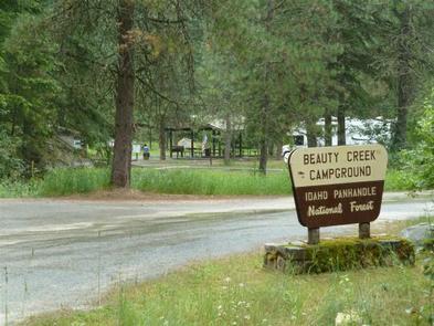
Beauty Creek Campground is located a half mile from Lake Coeur d’Alene along the peaceful Beauty Creek. Visitors enjoy breathtaking scenery and convenient access to miles of trails.

Recreation

The trailhead for the Caribou Ridge National Recreation Trail starts at the campground. The 5-mile trail features a moderate climb with two outstanding overlooks of Lake Coeur d’Alene.

Biking and hiking trails in the area include the 1.8-mile Beauty Creek Overlook and the 4.9-mile Mt. Coeur d’Alene Viewpoint.

Anglers enjoy an abundance of northern pike, chinook salmon and bass in the nearby stream.

Facilities

Beauty Creek offers about 20 spacious campsites for both tent and RV camping. Vault toilets and drinking water are provided. Parking aprons are paved.

The nearest boat ramp is at Mineral Ridge, which is less than a mile from the campground. Here, visitors have easy access to boating and fishing.

Natural Features

The campground is nestled in a narrow valley along Beauty Creek in northern Idaho. At an elevation of 2,100 feet, it is a sparsely wooded valley surrounded by heavily wooded hillsides.

Beauty Creek sits in the Idaho Panhandle National Forest, between the Cascade Mountains to the west and the Bitterroot Mountains to the east.

Nearby Attractions

Lake Coeur d’Alene offers excellent boating, fishing and canoeing. Towns around the lake offer opportunities for para-sailing, ferry rides, paddle boating and sea plane rides.

Nearby Activities

  • Biking
  • Boating
  • Camping
  • Fishing
  • Hiking
  • Water sports
  • Swimming site
  • Mountain biking
  • Kayaking
  • Canoeing
  • Birding

Gallery

Directions

From Coeur d’Alene, Idaho, go east on I-90 to exit 22, then turn south on ID-97. Drive 2.5 miles to Forest Road 438 and turn left. Go one mile and look for signs.

GPS Coordinates

Latitude 47° 36′ 23.0000″ N

Longitude 116° 40′ 7.0000″ W

Categories
Uncategorized

KALISPELL ISLAND GROUP SITE

Overview

Surrounded by clear waters of Priest Lake, the 52 sites on Kalispell Island provide the ideal getaway for people looking for a rugged, but highly rewarding, camping experience on the peaceful shores of Priest Lake. There are 51 single sites on the island as well as one group site known as Three Pines Group Site. This Group Site is located on the southeast side of the island and has been renumbered from Site #001 to site #29 for groups of 10-30 individuals. All sites are only reachable by boat.

A popular activity among visitors is to kayak, canoe, or power boat up a 3.5-mile thoroughfare, which leads to the Upper Priest Lake Scenic Area. The upper lake – just like Kalispell Island – cannot be access by car, so water is an excellent navigation option.

Recreation

Priest Lake is less than an hour from the Canadian Border, nestled deep below the crest of the Selkirk Mountains. Surrounded by the natural beauty of Northern Idaho and the mile-high mountains, this 25,000-acre lake offers clear, blue waters reaching depths of 300 feet.

Fantastic wildlife viewing is available on the 2.5-mile loop trail that encircles Kalispell Island, offering phenomenal lake views and bird watching opportunities.

The waters of Priest Lake offer anglers access to record-breaking Mackinaw trout, Dolly Varden, Cutthroat and Kokanee.

Facilities

Most campsites require campers to bring their own portable toilets. They can check out toilet buckets at the Kalispell Boat Launch. Kalispell Island can only be accessed by boat. No drinking water is availabe and this is a pack it in, pack it out facility. Picnic tables and campfire rings are provided

Natural Features

Kalispell Island is one of seven islands scattered throughout Priest Lake. Kalispell is the largest of these islands, spanning 264 acres, and is shaped like a tooth.

Priest Lake, at a 2,400 foot elevation, is one of the top three largest lakes in Idaho. To the north, the lake connects to the Upper Priest Lake, divided by a narrow channel, which can be passed through by boat.

Nearby Attractions

Hike the Lakeshore or Beach Trails that traverse along the west shore of Priest Lake. The Beach trail extends between Outlet Bay Campground and the Kalispell Bay Boat Launch. The Lakeshore Trail runs for 8 miles along the northwest shores of Priest Lake.

In winter, ice fishing, shoe shoeing and snowmobiling on nearby trails entertain visitors.

Nearby Activities

  • Boating
  • Camping
  • Fishing
  • Hiking
  • Water sports

Gallery

Directions

Access to the campground is by boat only. To reach various boat launches around the lake, travel north from Priest River, Idaho on State Highway 57.

To access the Kalispell Bay Boat Launch, travel on Highway 57 for 31 miles to Kalispell Bay Road. Turn east (right) until you reach West Lakeshore Road. Then head south .5 miles to the boat launch.

GPS Coordinates

Latitude 48° 33′ 50.0000″ N

Longitude 116° 53′ 35.9999″ W

Categories
Uncategorized

BARTOO ISLAND GROUP SITE

Overview

Surrounded by clear waters of Priest Lake, the 25 sites on Bartoo Island provide the ideal getaway for people looking for a rugged, but highly rewarding, camping experience on the peaceful shores of Priest Lake. There are 24 single sites on the island as well as one group site known as Sunrise Group Site. This group site has been renumbered from site #001 to site #23 for groups of 10-30 individuals. All sites are only reachable by boat.

Recreation

Visitors enjoy all types of boating from kayaking to canoeing to power boating up the 3.5-mile thoroughfare, which leads to the Upper Priest Lake Scenic Area. The upper lake cannot be access by car, so water is an excellent navigation option.

Fantastic birding and wildlife viewing is available, as well as Huckleberry picking from mid-july to early fall, when the sweet berries can be found in abundance throughout the forests of Northern Idaho.

Swimming is a popular summer pastime and with beach access not far from the campground, visitors won’t have any problem cooling off during warmer months.

Anglers will be excited to know that the waters of Priest Lake are home to record-breaking Mackinaw trout as well as Dolly Varden, Cutthroat and Kokanee.

Facilities

Campers are required to bring their own portable toilets to this campground. They can check out toilet buckets at the Kalispell Boat Launch.

Bartoo Island can only be access by boat. No drinking water is available and this is a pack it in, pack it out facility. Picnic tables and campfire rings are provided.

Natural Features

Priest Lake spans 25,000-acres of incredible beauty, fed primarily by the waters of the Priest River. Named after the historical presence of Jesuit priests who settled in the lake area in the mid 19th century, Priest Lake is today a major tourist attraction, drawing water sports enthusiasts, photographers and birders alike.

The group campground is located on the east side of Bartoo Island at an elevation of 2,400 feet. Bartoo, spanning 219 acres, is one of nine islands on Priest Lake.

Summers at the lake are typically sunny and warm and wildlife in the area includes bears, deer and moose.

Nearby Attractions

Hike the Lakeshore or Beach Trails that traverse along the west shore of Priest Lake. The Beach trail extends between Outlet Bay Campground and the Kalispell Bay Boat Launch. The Lakeshore Trail runs for 8 miles along the northwest shores of Priest Lake.

In winter, ice fishing, shoe shoeing and snowmobiling on nearby trails entertain visitors.

Nearby Activities

  • Boating
  • Camping
  • Fishing
  • Hiking
  • Water sports

Gallery

Directions

Campground is only reachable by boat. Travel north from Priest River, Idaho on State Highway 57 to various boat launches around the lake.

To access the Kalispell Bay Boat Launch, travel on Highway 57 for 31 miles to Kalispell Bay Road. Turn east (right) until you reach West Lakeshore Road. Head south .5 miles to the boat launch.

GPS Coordinates

Latitude 48° 33′ 4.0000″ N

Longitude 116° 51′ 56.0002″ W

Categories
Uncategorized

SNYDER GUARD STATION (ID)

Overview

Snyder Guard station, located on the banks of the scenic Moyie River, has been listed on the National Register for Historic places since 1982. The complex of seven buildings includes a residence, two log cabins, a cookhouse, warehouse, corrals, a machinery shed and a garage. The facility is spread across 10 lovely acres and is perfect for large groups of up to 70 people or small family getaways.

The buildings on the property were constructed from 1906 to 1936, and most structures are available for rent. A group picnic and camping area provide additional campsites and amenities for six RVs, plenty of room for tent camping, pathways to the river, and more.

Snyder was originally constructed as a remote work station for early Forest Service employees. As roads were constructed and transportation improved, the site no longer required live-in crews, so visitors can now use these buildings as recreation rentals.

Recreation

Outdoor recreational opportunities abound on the Moyie River and nearby lakes. Fishing, whitewater rafting, canoeing and kayaking are all popular pastimes.

Over 70 miles of trails are open to hikers, mountain bikers, horseback riders, and motorcyclists. The Copper Falls viewpoint trail is just a few miles from the Snyder Guard Station on copper Falls Road #2517. Hunting, huckleberry picking, cross country skiing and snowmobiling are enjoyed in season.

Facilities

Historic Site buildings include the main ranger house, two small log cabins, a cookhouse, a horse pole barn, and several administrative buildings. Camping Loop buildings include a 50′ x 30′ covered picnic shelter, a camping loop with six sites with picnic tables and fire rings, a vault toilet, and additional parking for 10 vehicles. Additionally, two horse corrals, vault toilets, drinking water faucets, campfire rings, picnic tables, and a mowed grassy playing field are available for use.

The ranger house has three bedrooms, a bathroom with a flush toilet and hot shower (low capacity, only for groups under 25 people, outdoor screened shower areas are also available), a living room, dining room, and a fully stocked kitchen with enough utensils for 12 guests. The small cabins come with three to four beds and a table and chair. These cabins have no electricity. Most facilities and furnishings are 80-110 years old, please use them gently and treat them with respect. To protect the historic features, pets are not allowed at Snyder Guard Station.

The cookhouse is furnished with benches and tables to seat 30, plus cookware and place settings. Outdoor amenities include picnic tables and campfire rings at six sites and a large picnic shelter with a fireplace and grills.

Campers should bring basic camping gear like bedding or sleeping bags, flashlights, food, matches, garbage bags, towels and dish soap. (Click here for more cabin details.)

Natural Features

Snyder Guard Station is located within the Lower Kootenai River Area (Bonners Ferry District) of the Idaho Panhandle National Forests. The area is bordered by the Purcell and Cabinet Ranges and the Montana Line on the east, the rugged Selkirk Range on the west, and the Canadian border to the north. The Kootenai River meanders north and west through the District, and the Moyie River joins it from the north.

The Guard Station sits at an elevation of 2,500 feet along the Moyie River, 8 miles south of the Canadian border. Terrain in the river valley is relatively flat, and is bordered by Queen Mountain to the West and Ruby Mountain to the east.

The mixed conifer forest include Douglas fir and spruce. Wildlife sightings include elk, deer, black bears, moose and bald eagles.

Nearby Attractions

A restaurant, gas station and convenience store are less than 10 miles down the road.

Nearby Activities

  • Boating
  • Camping
  • Water sports
  • Swimming site

Gallery

Directions

Snyder Guard Station is located 36 road miles northeast of Bonners Ferry, ID and takes 50 minutes to drive from point to point.

From the Bonners Ferry Ranger Station, drive north on US 95 for 29.5 miles to Moyie River Road. Turn right (south) onto Moyie River Road (at Good Grief Cafe) and travel south for 5.5 miles. Snyder Guard Station is on the right and is marked with a sign. Travel time is 50 minutes from the Bonners Ferry Ranger District.

GPS Coordinates

Latitude 48° 53′ 3.0001″ N

Longitude 116° 10′ 9.9998″ W

Categories
Uncategorized

KIT PRICE

Overview

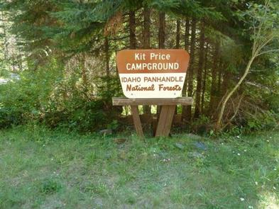
Kit Price is a beautiful campground overlooking the North Fork Coeur d’Alene River. Campers enjoy the benefits of the river by fishing along the banks, swimming and floating. Hiking is also a great way to see mountain views.

Recreation

Tubing, swimming and kayaking on the North Fork Coeur d’Alene River are popular summertime activities. Rafters like to head downstream for the class I-III rapids. Catch and release fishing for cutthroat trout is also popular.

Facilities

Amenities include picnic tables, grills, paved parking spurs, accessible vault toilets and drinking water. Kit Price does not have electric hookups.

Natural Features

The campground is situated along the North Fork Coeur d’Alene River at an elevation of 2,550 feet. Campsites are in a meadow like setting, in full to partial sun, in the river bottom of the Coeur d’Alene Mountains. Popular Coeur d’Alene Lake is about 65 miles west of Kit Price. Wildlife in the region includes mule deer, moose, osprey and calliope hummingbirds.

Nearby Activities

  • Camping
  • Fishing
  • Hiking
  • Swimming site

Gallery

Directions

From Coeur d’Alene, drive 28 miles east on Interstate 90, then 26 miles north (Kingston exit) on paved Forest Road #9, then 11 miles north from Prichard on paved Forest Road 208.

GPS Coordinates

Latitude 47° 44′ 26.9999″ N

Longitude 116° 0′ 20.0002″ W

Categories
Uncategorized

DEVILS ELBOW

Overview

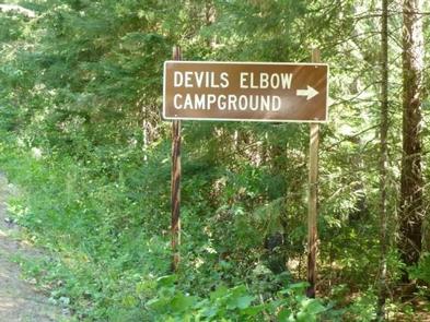
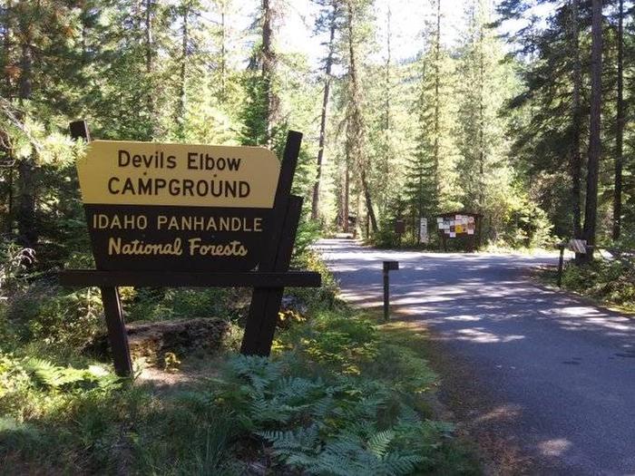
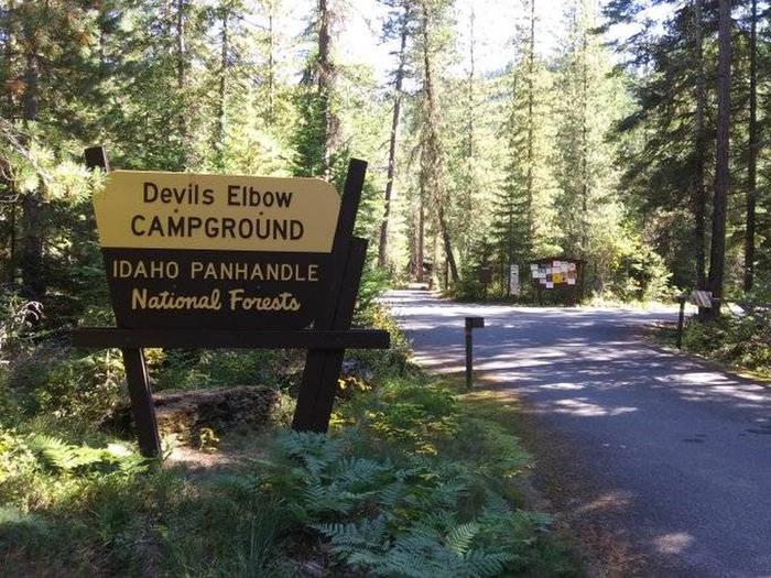
Devil’s Elbow Campground is perched on the banks of the North Fork Coeur d’Alene River, providing a perfect escape for a warm summer weekend. Here, visitors can camp in tents or RVs and spend their days fishing or floating the river.

Recreation

Rafting, swimming and kayaking are favorite activities on the river. Rafters will find class I-III rapids further down the river. Catch-and-release cutthroat trout fishing is also popular.

Visitors also enjoy explore the river valley on foot to see nearby Downey Creek or Valitons Creek.

Facilities

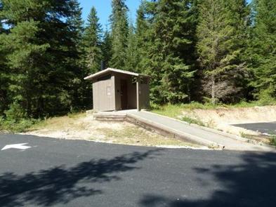
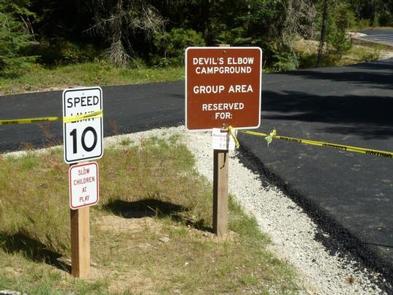
Devil’s Elbow Campground has 20 campsites including one host site and a group site. The group site can accommodate up to 50 people. Amenities include hand-pump drinking water and vault toilets.

Campground roads are paved and parking spurs are short but wide enough for parking two vehicles alongside a trailer.

Natural Features

    The campground sits among lodgepole and other mixed pines along the river at an elevation of 2,600 feet. The area is located in the Coeur d’ALene Mountains, 69 miles from popular Coeur d’Alene Lake.

    Wildlife watchers and photographers have the chance to see mule deer, moose, osprey and calliope hummingbirds.

Nearby Activities

  • Camping
  • Fishing
  • Swimming site

Gallery

Directions

From I-90, take Exit 43 (Kingston) and travel 20 miles north on FH9 to Prichard. Continue 11 miles north on Forest Road 208 to the campground.

GPS Coordinates

Latitude 47° 45′ 59.0000″ N

Longitude 116° 1′ 0.0001″ W
Categories
Uncategorized

BEAVER CREEK (IDAHO)

Overview

Beaver Creek Campground sits in the Idaho Panhandle National Forest, offering phenomenal views of the Selkirk Mountains across the reflective waters of Priest Lake.

Recreation

A local beach is easily accessible, where swimming and boating are available.

Visitors enjoy kayaking, canoeing or power boating up a 2.5-mile channel called Thoroughfare that leads to the Upper Priest Lake Scenic Area, where birding is a popular activity.

Beaver Creek has two trailheads, one for the 9-mile Navigation Trail that heads north, and one for the 8-mile Lakeshore Trail that heads south. Both trails offer sweeping mountain views and are enjoyed by both hikers and horseback riders.

Anglers find an abundance of trout fishing in Beaver Creek and in Upper and Lower Priest Lake.

Facilities

Beaver Creek offers approximately 42 spacious, reservable campsites, including one large group site that can accommodate up to 35 guests. Amenities include drinking water, vault toilets and picnic tables. A boat ramp is just outside the campground entrance for boats 20 feet long or shorter.

Natural Features

The campground is situated on the shores of Priest Lake at an elevation of 2,500 feet, shaded by hemlock and cedar.

Priest Lake consists of the main lake, where most water recreation takes place, and the smaller Upper Priest Lake to the north. The two lakes are divided by a narrow channel.

Nearby Attractions

Cross country skiing and snow shoeing are excellent in the Kaniksu Forest Region of Priest Lake.

Nearby Activities

  • Biking
  • Boating
  • Climbing
  • Camping
  • Fishing
  • Hiking
  • Wildlife viewing
  • Swimming site
  • Birding

Gallery

Directions

From Priest River, Idaho, take Highway 57 north to Nordman, then turn right on Reeder Bay Road and continue for 12 miles into the campground.

GPS Coordinates

Latitude 48° 44′ 3.0001″ N

Longitude 116° 52′ 9.0001″ W
Categories
Uncategorized

SAM OWEN

Overview

Sam Owen Campground is nestled on the banks of Lake Pend Oreille in a densely wooded forest of pine and cedar. Popular activities include hiking, canoeing, swimming and boating in summer, and skiing in winter.

Recreation

A sandy beach draws crowds of sunbathers and swimmers. Visitors also like to hike the half-mile, accessible Sam Owen Trail #4. The trail reaches a beautiful vista of Owens Bay, where hikers can rest on benches and take in the astonishing view.

Anglers take pleasure in catching kamloops, Dolly Varden, northern pike, trout and catfish. A boat ramp and dock are located on-site.

Facilities

Amenities include a picnic area, paved overflow parking areas and an amphitheater for educational programs. Campsites do not have electric hookups but a group picnic shelter has electricity and lights. Accessible flush toilets, drinking water and a dump station are provided.

Natural Features

Sam Owen Campground is situated on a peninsula on the east side of Lake Pend Oreille in the Idaho Panhandle National Forest, at an elevation of 2,000 feet. The lake spans 82,088 acres and has 125 miles of shoreline.

The well-loved campground shares a peninsula with the Sam Owen Game Preserve, which provides plenty of opportunities to see wildlife up close. Deer are very easy to spot, and watching for unique birds is a rewarding activity.

Nearby Attractions

The Pend Oreille Scenic Byway is well worth exploring.

Nearby Activities

  • Boating
  • Camping
  • Day use area
  • Swimming site
  • Paddling
  • Swimming
  • Kayaking
  • Star gazing

Gallery

Directions

From Sandpoint, take State Highway 200 east 21 miles. Turn right on Peninsula Road (County Road 1028) and continue 1 mile to the recreation area.

GPS Coordinates

Latitude 48° 13′ 0.0001″ N

Longitude 116° 16′ 59.0002″ W