Overview
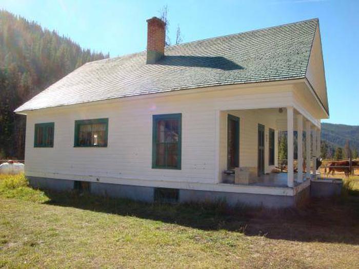
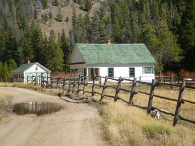
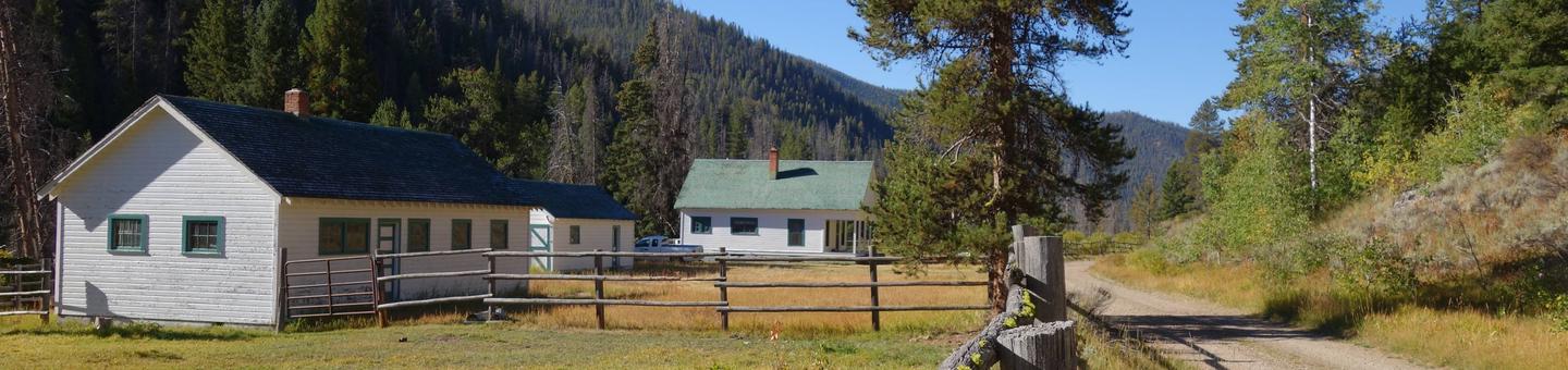
Yellowjacket Guard Station is a historic Forest Service Ranger Station and Work Center. Originally constructed in 1925 and remodeled in 1934 by the Civilian Conservation Corps, the structure is eligible for listing on the National Register of Historic Places.
Recreation
Hikers, horseback riders, mountain bikers and off-road enthusiasts will find many trails in the surrounding area. Hunting is also a popular activity. Click here for an Idaho OHV safety message
Facilities
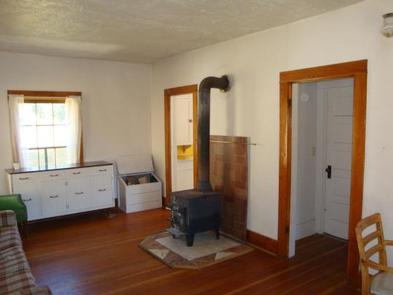
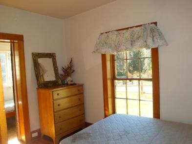
The spacious guard station can sleep a maximum of four people in two bedrooms, with a double bed and one single bed. No linens or bedding are provided. The living room contains a couch, wood stove, table and chairs.
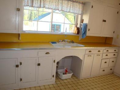
The small kitchen is equipped with a propane range/oven, a propane refrigerator and sink, but no running water. Guests must bring their own drinking water, as well as dishes, utensils and cookware.
The guard station is eqiuped with propane lights and a vault toilet is located outside.
Natural Features
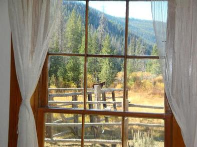
The guard station sits in the Yellowjacket Mountains within the Salmon-Challis National Forest in Idaho. The sizable front porch awards views of the scenic mountain meadow surrounding the station. A dense conifer forest covers the mountains and a few aspens dot the landscape. Beagle Creek flows nearby.
Nearby Attractions
Bighorn Crags, Frank Church River of No Return Wilderness Area and Panther Creek.
Nearby Activities
- Auto touring
- Biking
- Camping
- Fishing
- Hiking
- Horseback riding
- Hunting
- Wildlife viewing
- Wilderness
- Diving
- Mountain biking
- Off road vehicle trails
- Ranger station
- Backpacking
- Off highway vehicle trails
Gallery
Directions
From Salmon, Idaho, take Highway 93 south 5 miles, to a right turn at Shoup Bridge onto Forest Road 021 and travel 44.5 miles to Cobalt Work Center facility on Panther Creek Road 055. Continue 8 miles south on Panther Creek Road, where you will come to Porphury Creek turnoff to the right, heading west. Continue approximately 11 miles along Porphury Creek Road/Forest Road 112 to Yellowjacket Guard Station.
GPS Coordinates
Latitude 44° 59′ 40.9898″ N
Longitude 114° 28′ 58.0102″ W