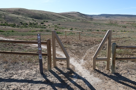
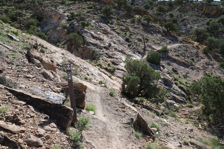
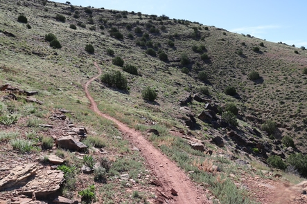
Smith Mountain contains panoramic views of Gunnison Gorge Wilderness and North Fork. It connects to Ute Trailhead and makes a loop with South River Road. And provides access to the Sidewinder Trailhead.
The Sidewinder trail is technical, multiple-use, single track trail that runs north and south along NCA’s west side. Among the Smith Mountain Recreation Area, it has numerous access points from Eagle Valley Trailhead, Wave-Eagle Loop, Bobcat, Duncan and Ute Roads.
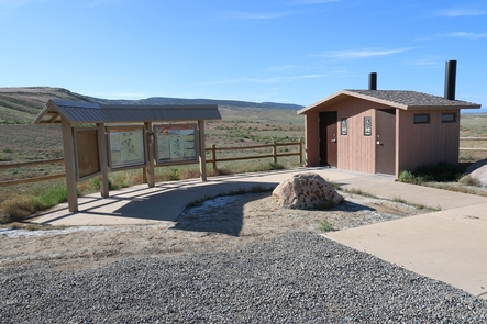
This is the northern terminus of Sidewinder Trail. Site amenities include trailer parking, vault toilet, and informational kiosk. Sidewinder Trail is a shared use single-track trail. It is used by motorcycles, mountain bikes, equestrians, and hikers. Sidewinder Trail runs south for 20 miles with a number of access points along the way. It is moderately difficult for hikers and equestrians, and a difficult, technical ride for motorcycles and mountain bikes. For more information, please contact the Gunnison Gorge NCA or Uncompahgre Field Office.
Gallery
Directions
Drive east out of Delta for 7 miles on Highway 92 to Austin and turn right onto 2200 Road. Follow 2200 Road for about 1 mile and turn left onto H75 Road. It is about 3 miles to the Smith Mountain/Sidewinder trailhead.
GPS Coordinates
Latitude 38° 45′ 5.0040″ N
Longitude 107° 54′ 37.0080″ W


