Overview
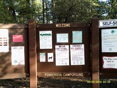
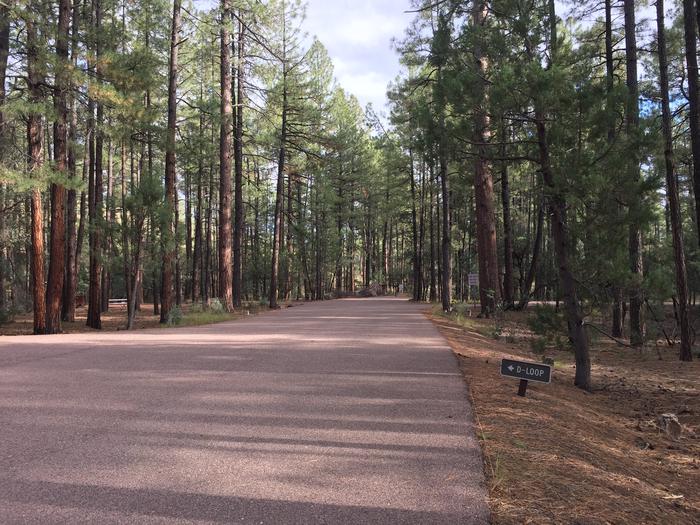
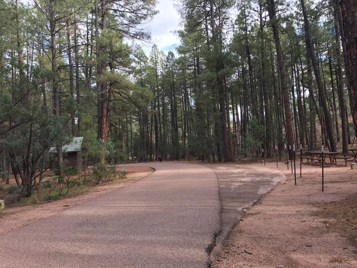
Named for the towering pines under which it sits, Ponderosa Campground is tucked in the rolling forests of northern Arizona.
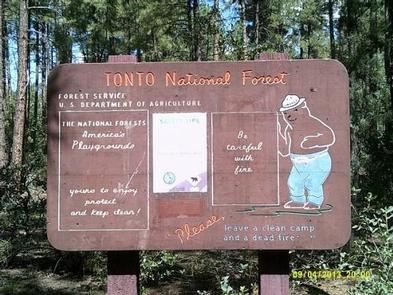
As the fifth-largest forest in the country, the Tonto National Forest is one of the most-visited urban forests in the United States, boasting about 5.8 million visitors annually. Its boundaries are Phoenix to the south, the Mogollon Rim to the north and the San Carlos and Fort Apache Indian reservations to the east.
Recreation
Most visitors enjoy walking along the campground’s nature trail, traveling into the town of Payson, taking advantage of the area’s hiking trails and lakes or simply relaxing at the campsite.
Scenic driving and outdoor recreation abound in the surrounding Tonto National Forest. A series of lakes called the Rim Country Lakes are about a 15 minute drive east. Woods Canyon Lake is one of the most popular recreational lakes in the state and offers options for boating.
Facilities
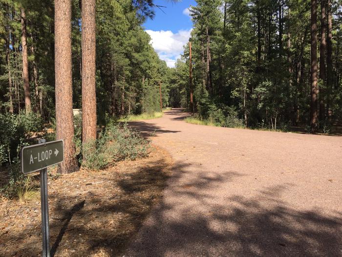
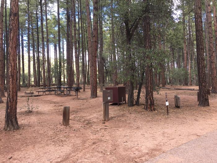
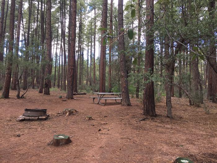
The facility provides 48 single campsites and two group sites that can accommodate up to 50 people guests each. The campsites are clean, flat and spacious with a good amount of shade from pine trees.
Natural Features
The ponderosa pine trees make this a memorable campground. Larger ponderosas release a vanilla scent into the air and have a relatively open understory, making the area perfect for camping. Mixed into the understory are junipers, oaks and manzanita shrubs.
The campground sits on the border of the Mogollon Rim, pronounced by locals as "muggy-own," a 200-mile-long cliff in northern Arizona that ranges between 5,000 and 7,000 feet in elevation. The unique landscape was created by extreme erosion and faulting that has sculpted spectacular canyons and buttes. The rim serves as the geographical dividing line between the cool high country above and the hot, dry desert below.
Nearby Attractions
The nearby town of Payson, Arizona, offers restaurants, shopping and other conveniences.
Nearby Activities
- Camping
- Fishing
- Hiking
- Horseback riding
- Fish hatchery
Gallery
Directions
From Payson, Arizona, go east on State Route 260. The campground is located on the south side of 260. A campground sign is visible before the campground entrance.
GPS Coordinates
Latitude 34° 17′ 56.0000″ N
Longitude 111° 6′ 51.0001″ W

