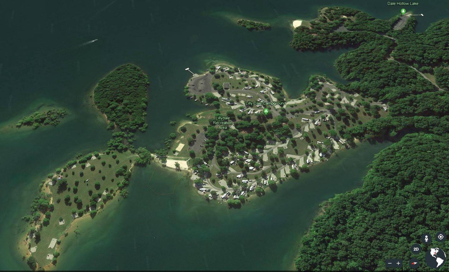
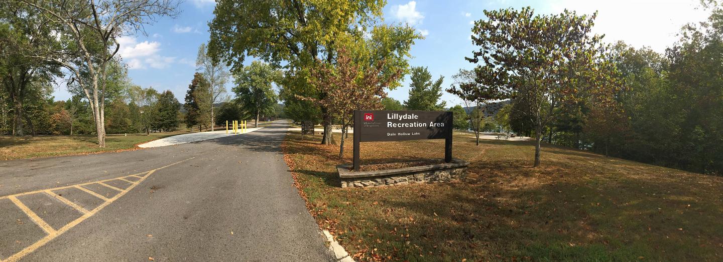
Overview
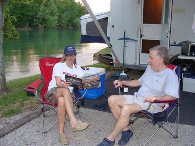
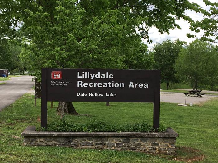
Lillydale Campground and Recreation Area is located along the shores of Dale Hollow Lake in the hills of Tennessee.
Recreation
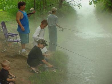
Dale Hollow is renowned for its fishing opportunities. In addition to yielding the world record smallmouth bass and being known as a trophy smallmouth lake, the Obey River below Dale Hollow Dam is also known for excellent rainbow and brown trout fishing.
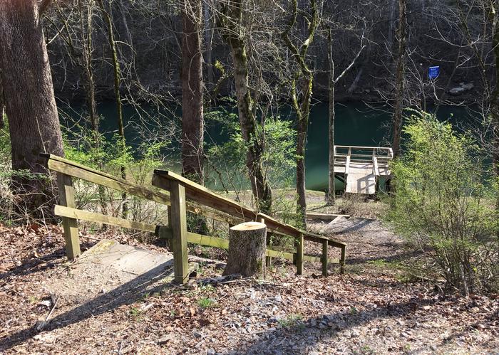
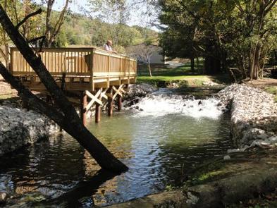
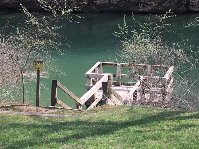
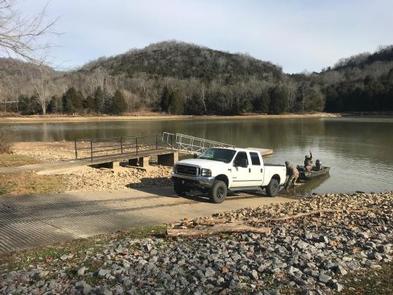
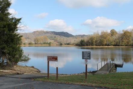
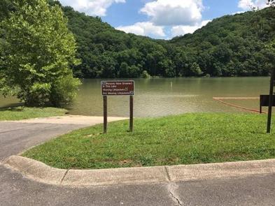
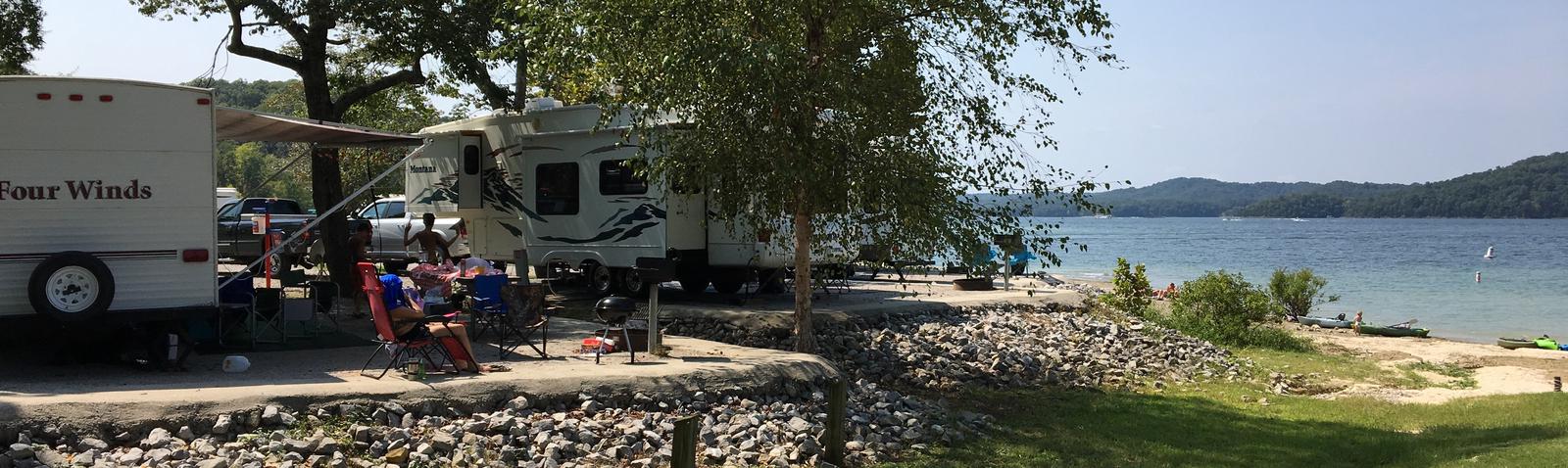
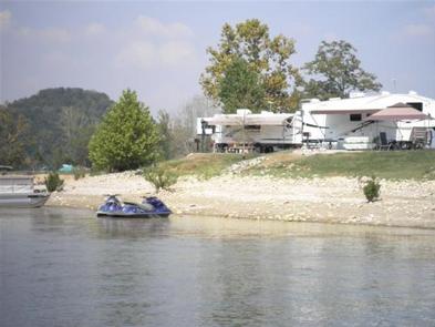
Boating and water skiing are also popular activities, and with 27,700 surface acres of water and 620 miles of shoreline, there is plenty of space for campers to explore the lake. Secluded tie-ups are located around the shore, offering campers a peaceful nature experience.
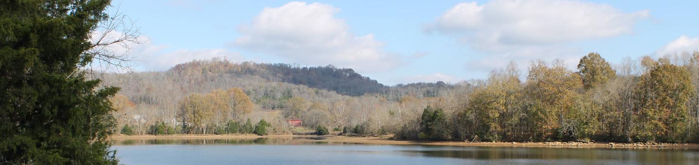
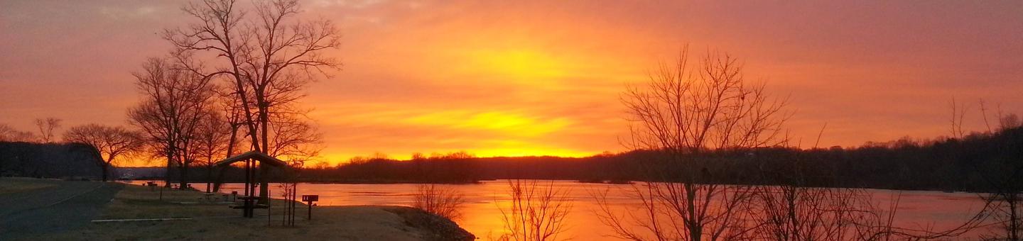
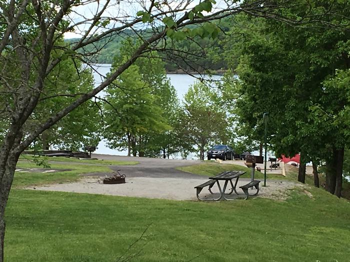
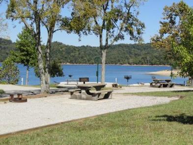
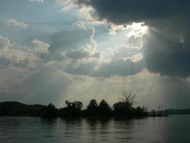
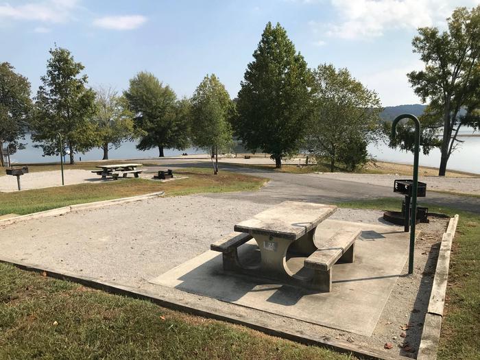
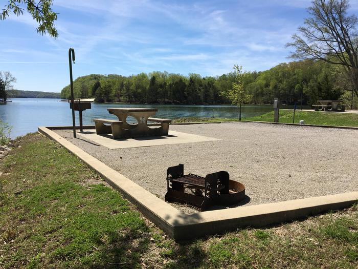
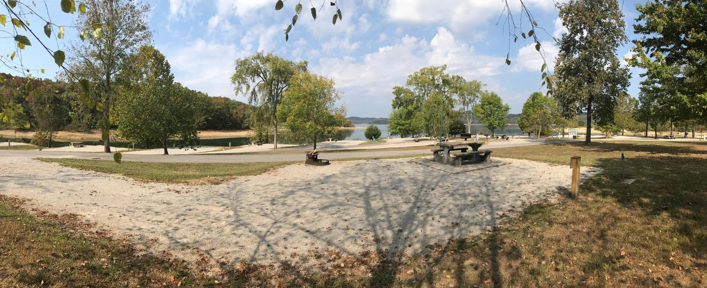
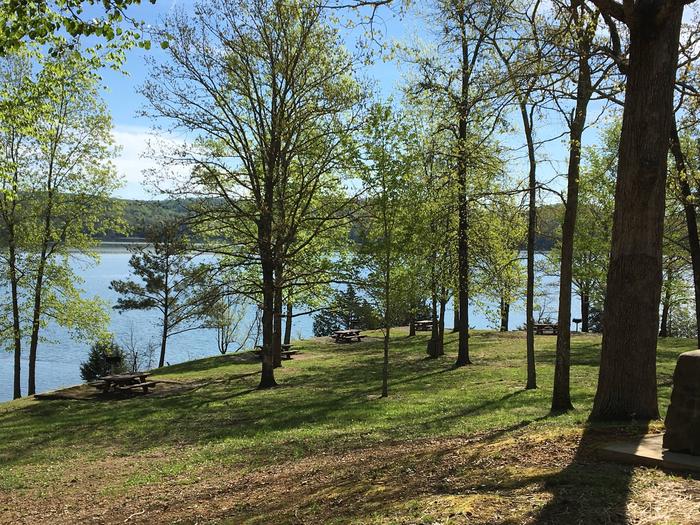
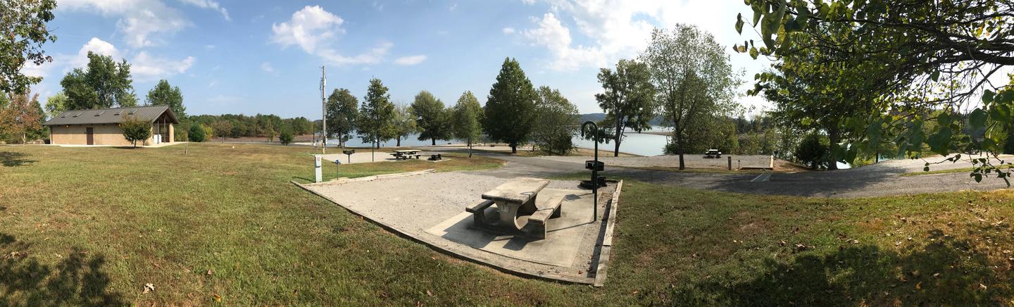
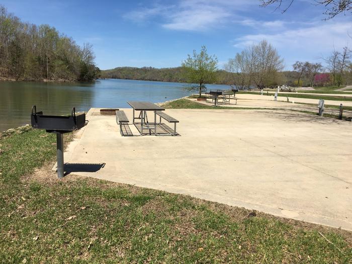
The campground is surrounded by a dense canopy of forest, and a hiking trail snakes through the landscape and along the lake shore. Lillydale hosts the best lake view of any campground on Dale Hollow Lake, with the most waterfront campsites.
The Accordian Bluff Hiking Trail is a 7.5 mile one-way trail that ascends to a ridge-top and back down to the shoreline of Dale Hollow Lake. The trail is ideal for birders and wildflower enthusiasts. This trail connects both Lillydale and Willow Grove Campgrounds and can be accessed via the trailhead located at the campground.
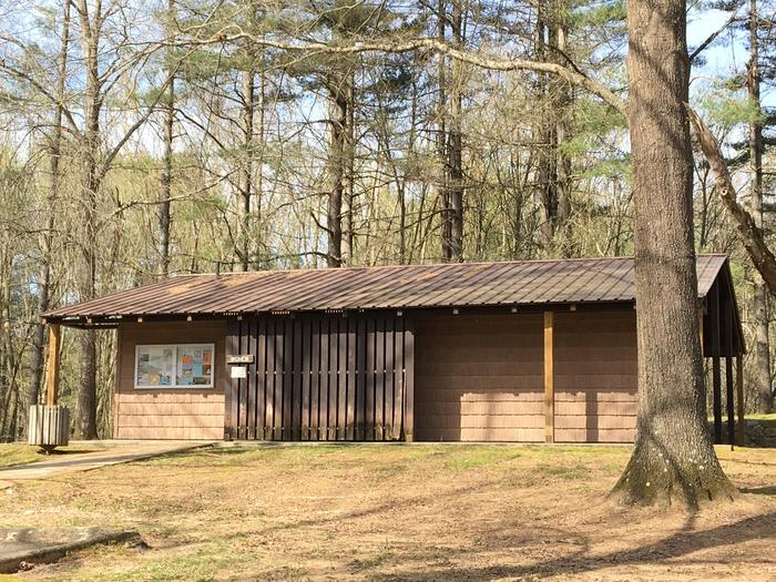
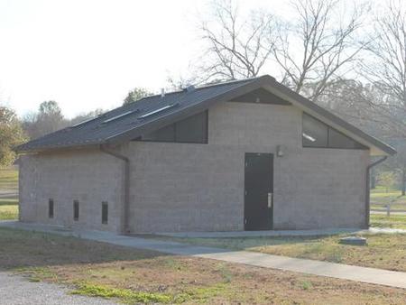
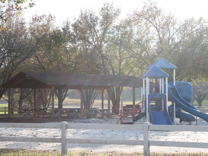
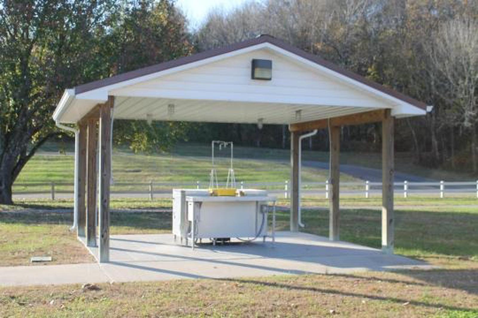
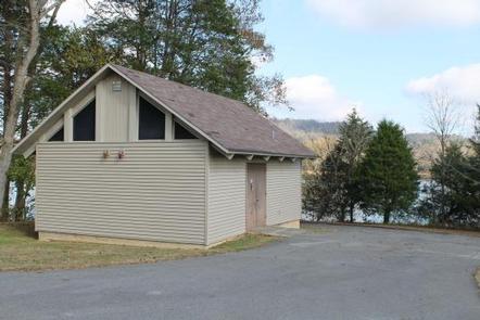
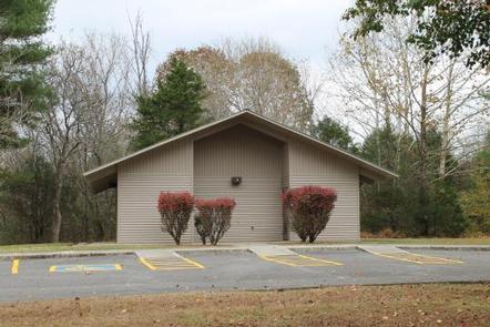
Facilities
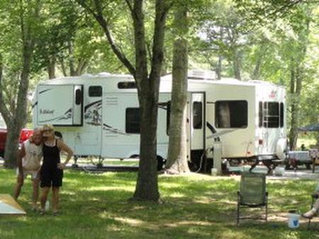
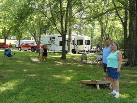
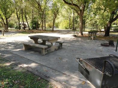
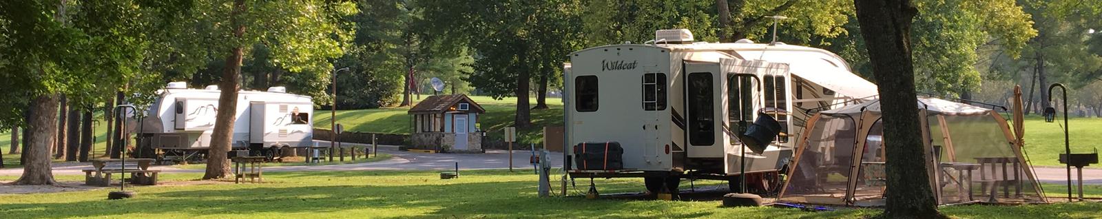
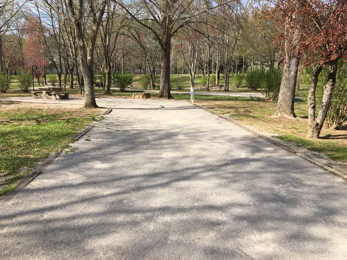
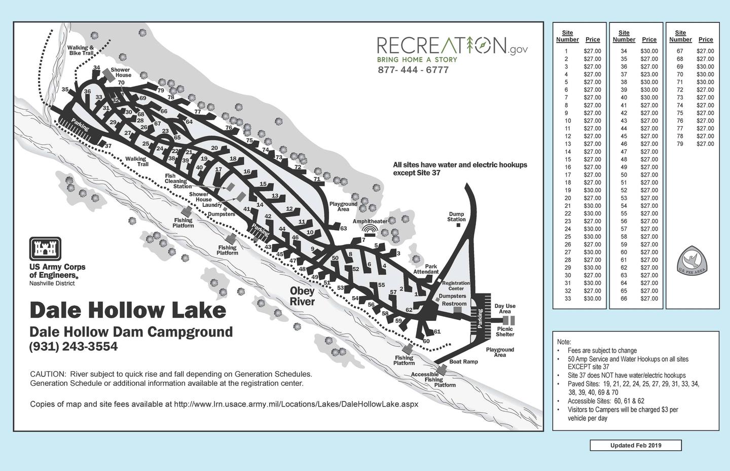
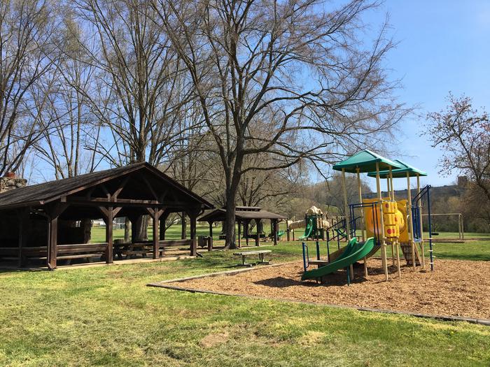
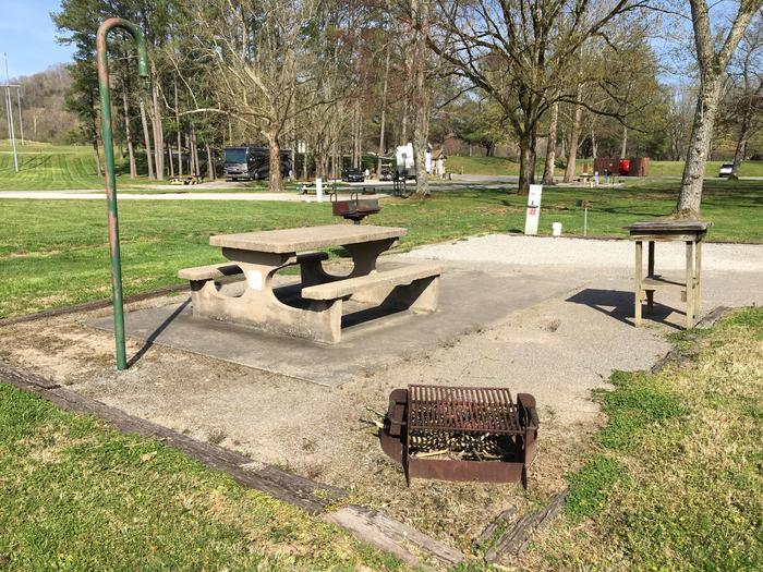
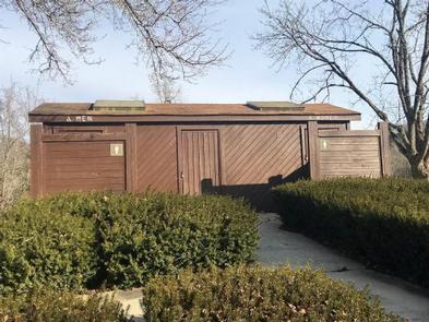
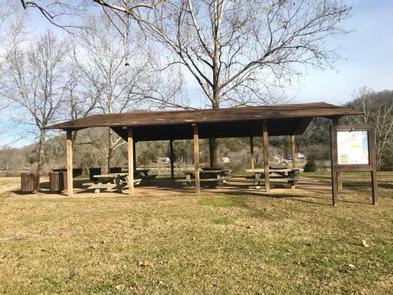
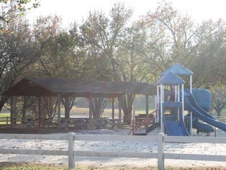
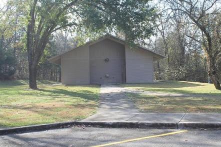
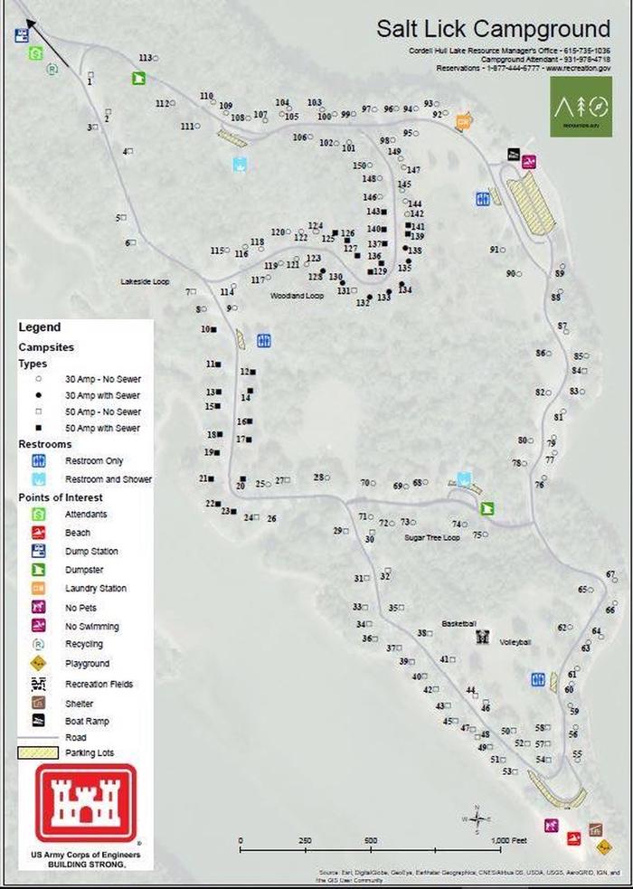
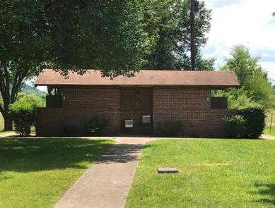
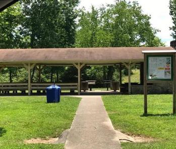
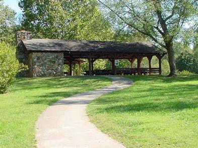
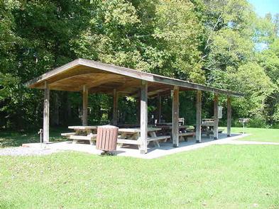
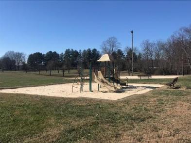
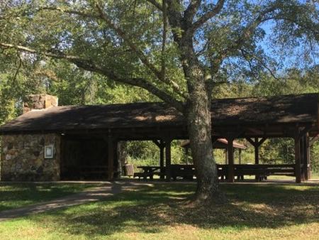
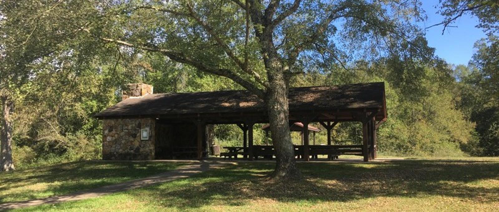
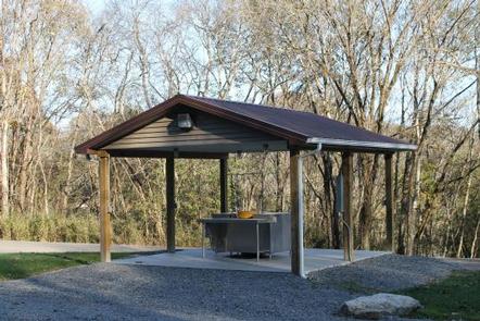
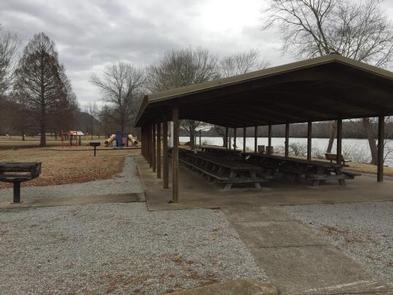
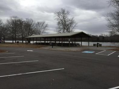
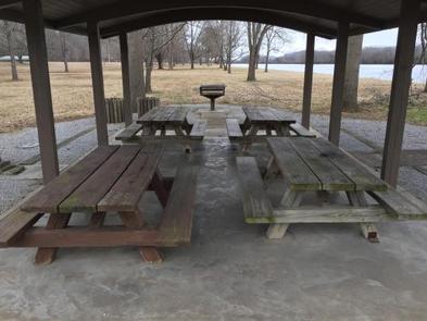
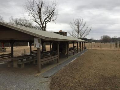
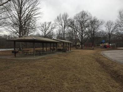
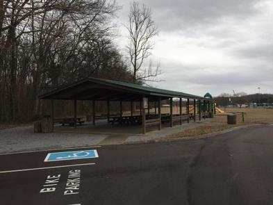
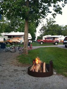
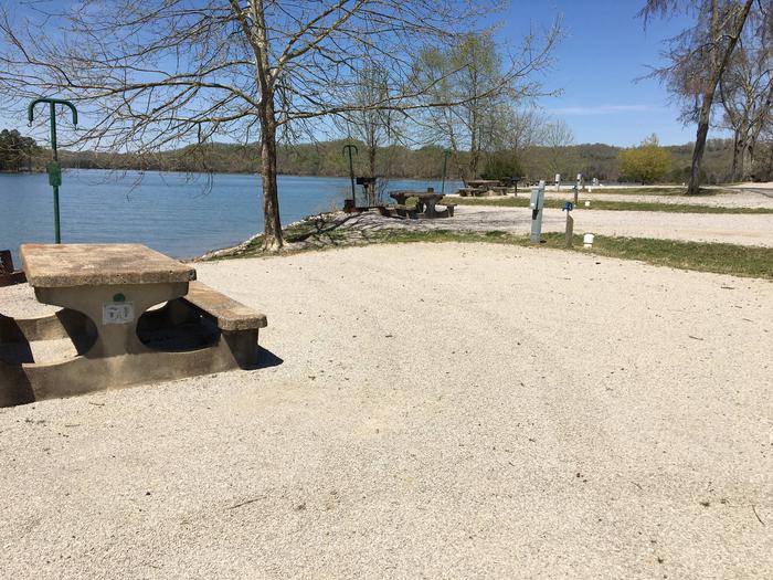
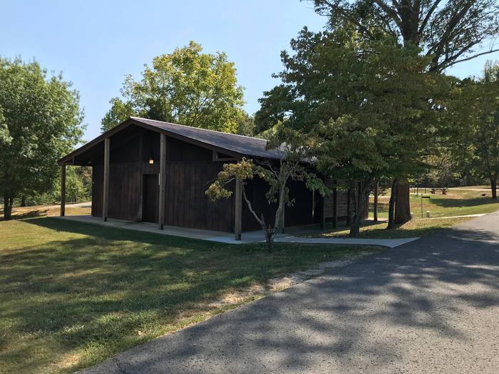
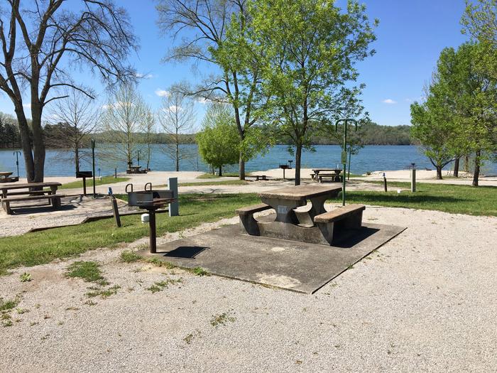
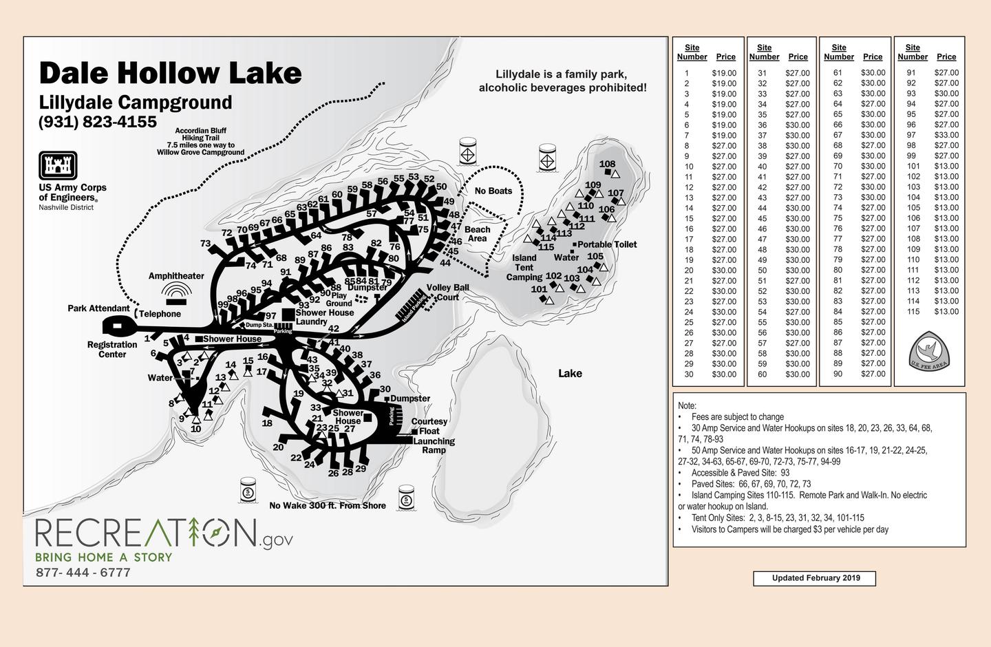
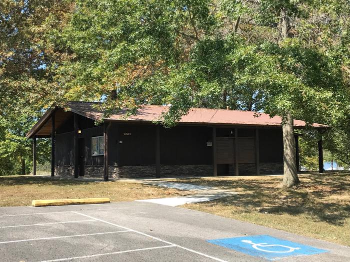
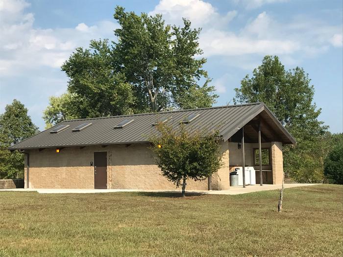
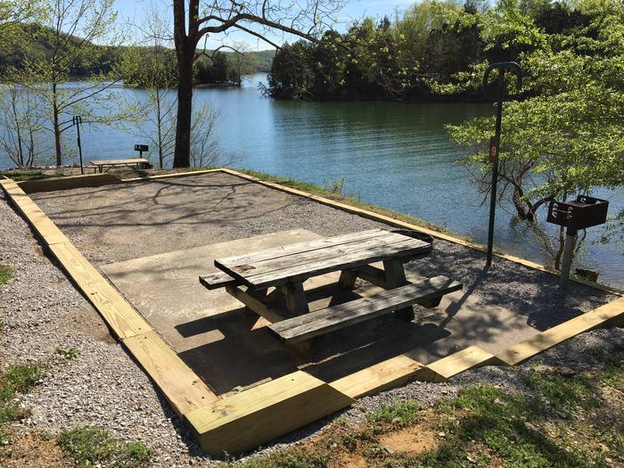
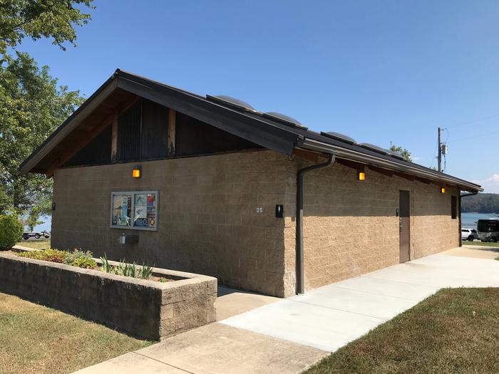
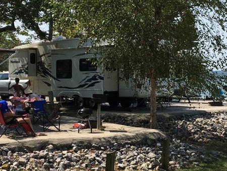
Lillydale Campground features 114 campsites and one large group picnic shelter. Electric hookups, drinking water, flush toilets and a dump station all create a comfortable camping experience.
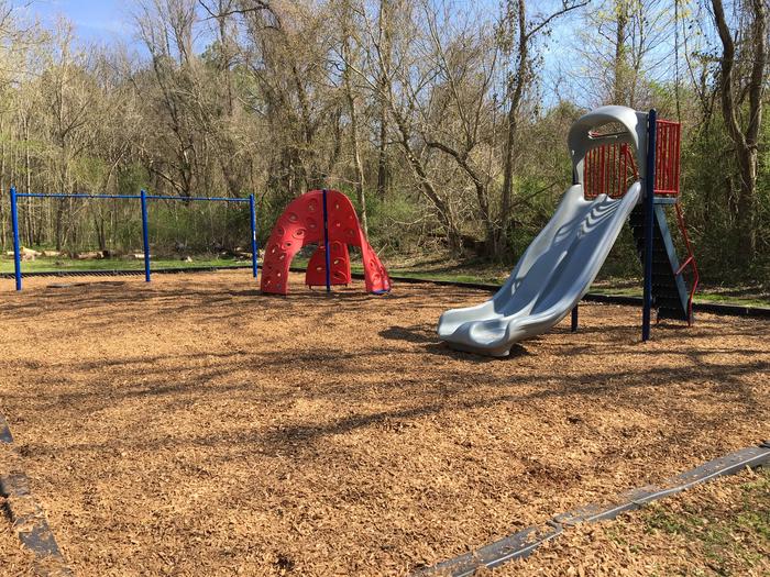
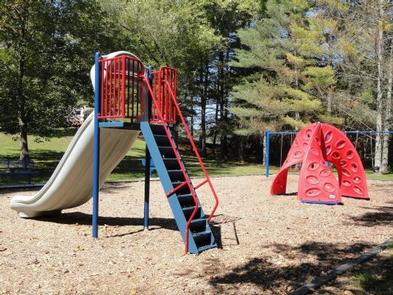
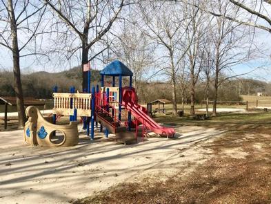
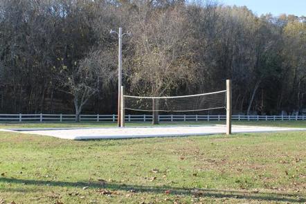
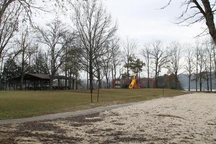
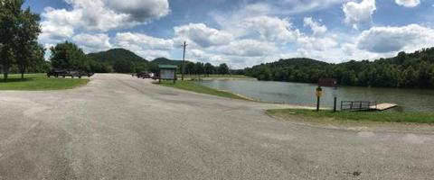
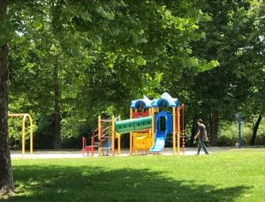
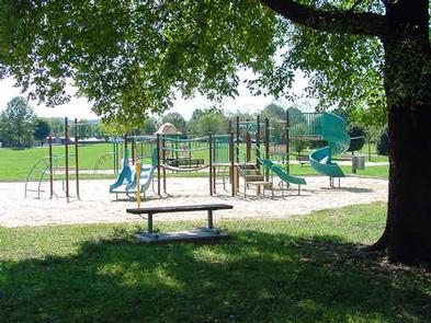
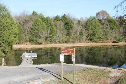
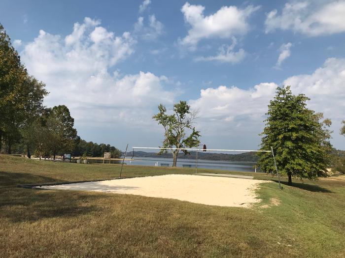
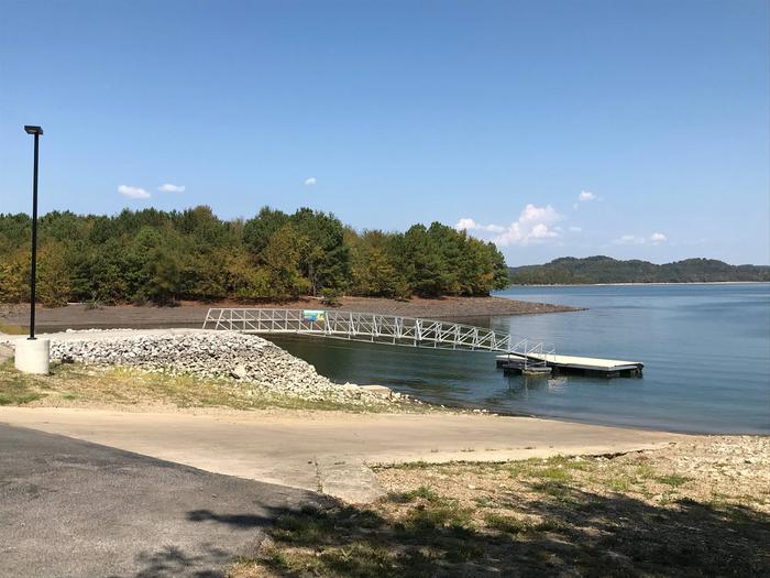
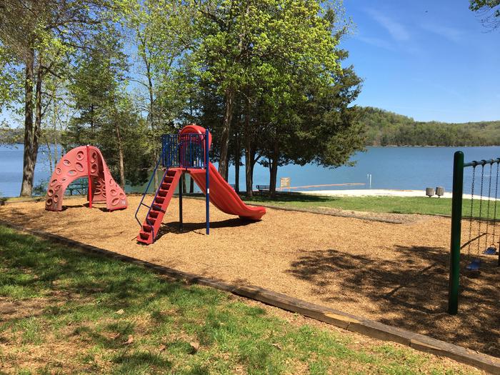
Two boat ramps, two volleyball courts and two swimming beaches offer additional recreational opportunities.
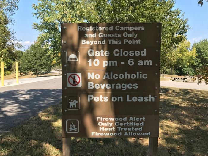
Camping is limited to a 14-day stay within a 30-consecutive day period.
Site Type Definitions:
- An RV Site is a paved/concrete site for wheeled camping units such as motorhome, fifth wheel, pull trailer and pop-up campers. RV sites are not suitable for tents.
- A Standard Site is one with a fine gravel surface pad. It will accommodate wheeled units and tents.
- A Tent Site will accommodate tents only.
- Group Sites are the picnic shelters.
For site specifics such as site measurements, parking and if the site is level, be sure to review the Information text at the bottom of each specific site page.
All camping equipment and vehicles are to be located on the designated site pad or parking areas.
General Site Notes:
- 30 Amp Service and Water Hookups on sites 18, 20, 23, 26, 33, 64, 68, 71, 74, 78-93
- 50 Amp Service and Water Hookups on sites 16-17, 19, 21-22, 24-25, 27-32, 34-63, 65-67, 69-70, 72-73, 75-77, 94-99
- Accessible & Paved Site: 93
- Paved Sites: 66, 67, 69, 70, 72, 73
- Tent Only Sites: 2, 3, 8-15, 23, 31, 32, 34, 101-115
- Island Camping Sites 110-115. Remote Park and Walk-In. No electric or water hookup on Island.
- Visitors to Campers will be charged $3 per vehicle per day.
- Fees are subject to change
Natural Features
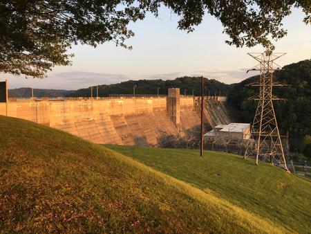
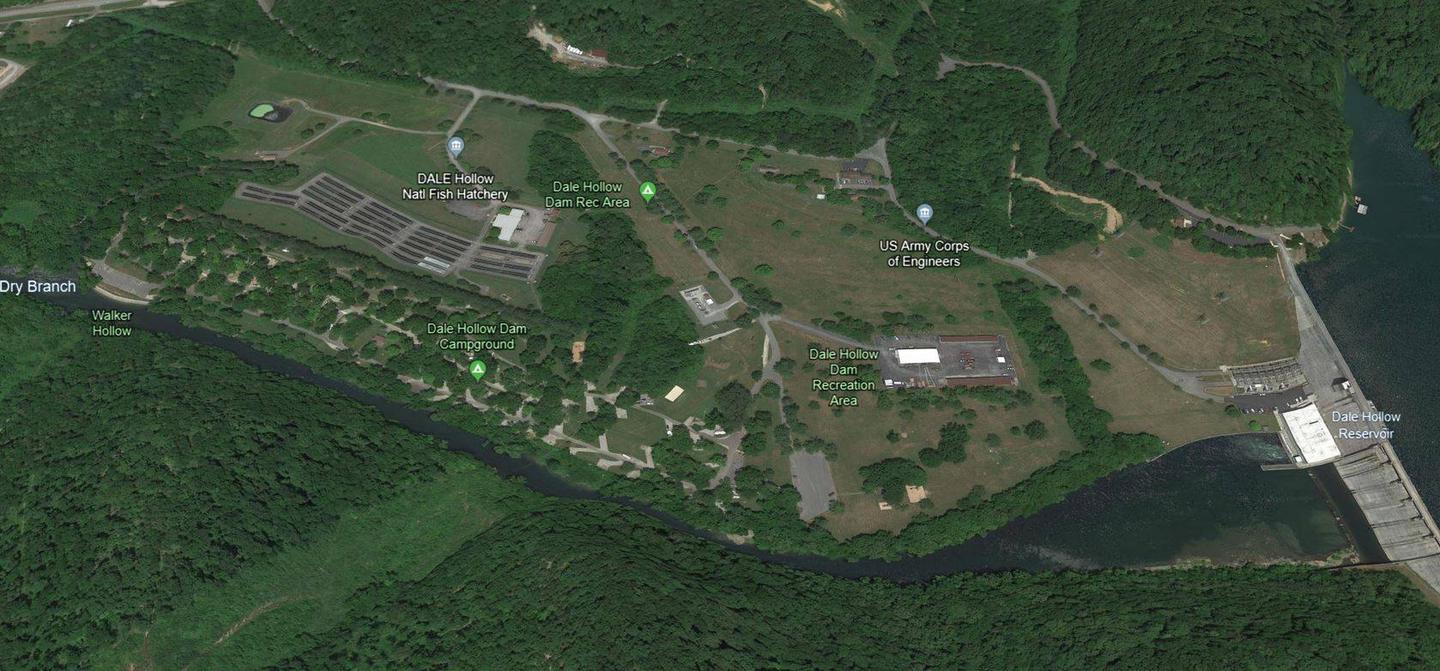
Dale Hollow Dam and Lake was completed in 1943. Although the dam was built for flood control and power generation, it has now become a recreational oasis for more than 3 million visitors each year.
The dam is located on the Obey River, about 3 miles east of Celina, Tennessee. Surrounded by a thick expanse of forest, the clear blue lake creates a stunning scenic backdrop for a variety of water and land recreational activities.
Centrally located on Dale Hollow near the Tennessee-Kentucky State boarder, Lillydale was named one of the National Recreation Reservation Service’s Top Ten Most Scenic Campgrounds to visit.
In the late fall through early spring, the American Bald Eagle can be spotted flying overhead or perched on low-lying limbs. Dale Hollow hosts the second-largest wintering eagle population in the states of Tennessee and Kentucky. For a short time surrounding the Labor Day holiday, Purple Martins put on quite a show as thousands of these birds darken the evening sky. Needing to roost, they are using the small island adjacent to Lillydale campground as a layover during their migration south.
Nearby Attractions
The Dale Hollow National Fish Hatchery is located about 32 miles from the campground. Operated by the U.S. Fish and Wildlife Service, the hatchery is the largest federal trout hatchery east of the Mississippi, producing 1.5 million trout annually. The hatchery is open to visitors daily.
Charges & Cancellations
Full rules and reservation policies for fees associated with changes and cancellations can be found at https://www.recreation.gov/rules-reservation-policies
- There is no fee to make a reservation.
- A $10 service fee will be withheld from any refund for a cancellation.
- A $10 service fee may be charged to changes made to an existing reservation (see full policies for when this is applicable).
- A customer who cancels a reservation the day before or on the day of arrival will pay a $10.00 service fee AND forfeit the first night’s use fee (not to exceed the total paid for the original reservation).
- Customers who cancel a group day-use facility reservation (picnic shelter) less than 14 days before the arrival date will forfeit the total day-use fee.
- No-shows are assessed $20.00 service fee and forfeit the first night’s recreation fee for a campsite or forfeit the entire day-use fee for a day-use facility.
- Applicable fees, including service/cancellation fees and change fees, are non-refundable and subject to change.
- No refunds for recreation use fees may be made at the campground.
- Early departures must depart and drop their tag before the checkout time in order to receive a refund for the unused day.
Nearby Activities
- Boating
- Camping
- Fishing
- Hiking
- Picnicking
- Water sports
- Day use area
- Swimming site
- Birding
- Water access
Gallery


Directions
From Byrdstown, Tennessee, take Highway 111 south for about 13 miles. Turn north on 294/Willow Grove Road (at Big Springs Market) and continue for another 13 miles, then turn right onto Lillydale Road and continue to the entrance.
It is recommended that visitors do not rely soley on GPS or Mapquest to reach the park.
GPS Coordinates
Latitude 36° 36′ 15.9998″ N
Longitude 85° 18′ 9.0000″ W