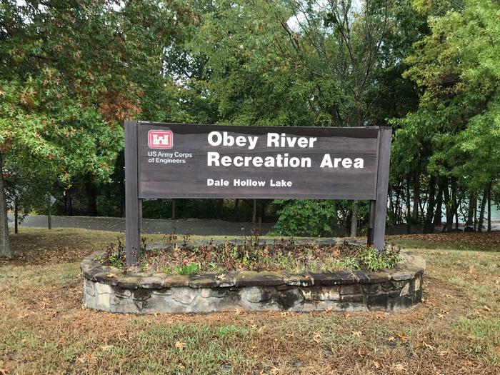
This recreation area is part of Dale Hollow Lake
Directions
GPS Coordinates
Latitude 36° 37′ 53.6511″ N
Longitude 85° 22′ 32.1098″ W
This recreation area is part of Dale Hollow Lake
Latitude 36° 37′ 53.6511″ N
Longitude 85° 22′ 32.1098″ W
This recreation area is part of Dale Hollow Lake
Latitude 36° 35′ 17.3295″ N
Longitude 85° 23′ 56.6959″ W
This recreation area is part of Dale Hollow Lake
Latitude 36° 33′ 13.5615″ N
Longitude 85° 26′ 50.3486″ W
This recreation area is part of Dale Hollow Lake
Latitude 36° 32′ 40.4853″ N
Longitude 85° 26′ 17.7501″ W
This recreation area is part of Dale Hollow Lake
Latitude 36° 30′ 36.3371″ N
Longitude 85° 27′ 5.5664″ W
This recreation area is part of Dale Hollow Lake
Latitude 36° 38′ 37.5058″ N
Longitude 85° 17′ 55.8723″ W
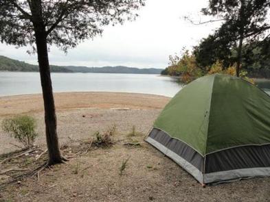
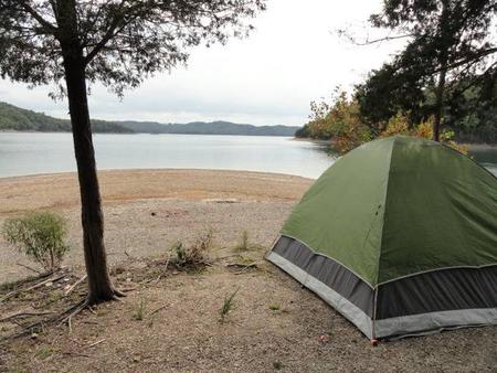
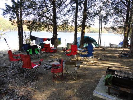
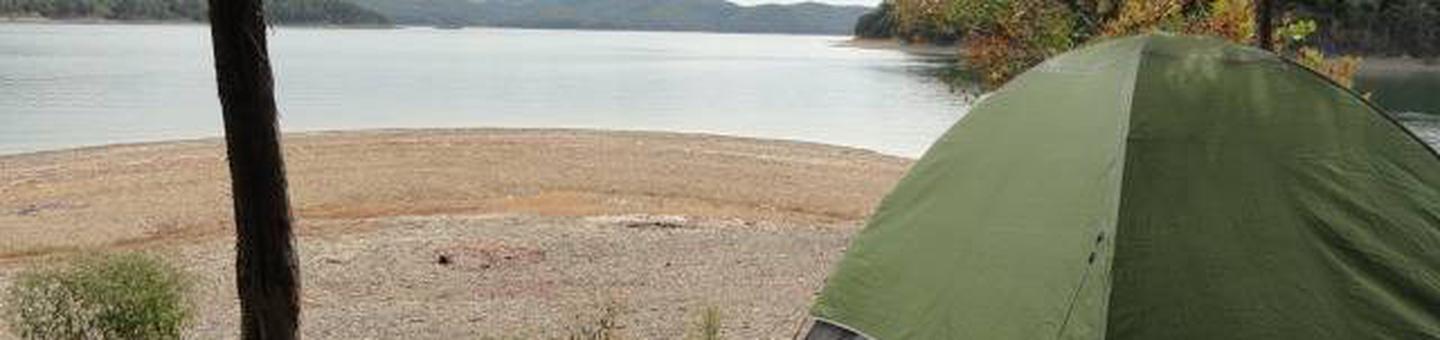
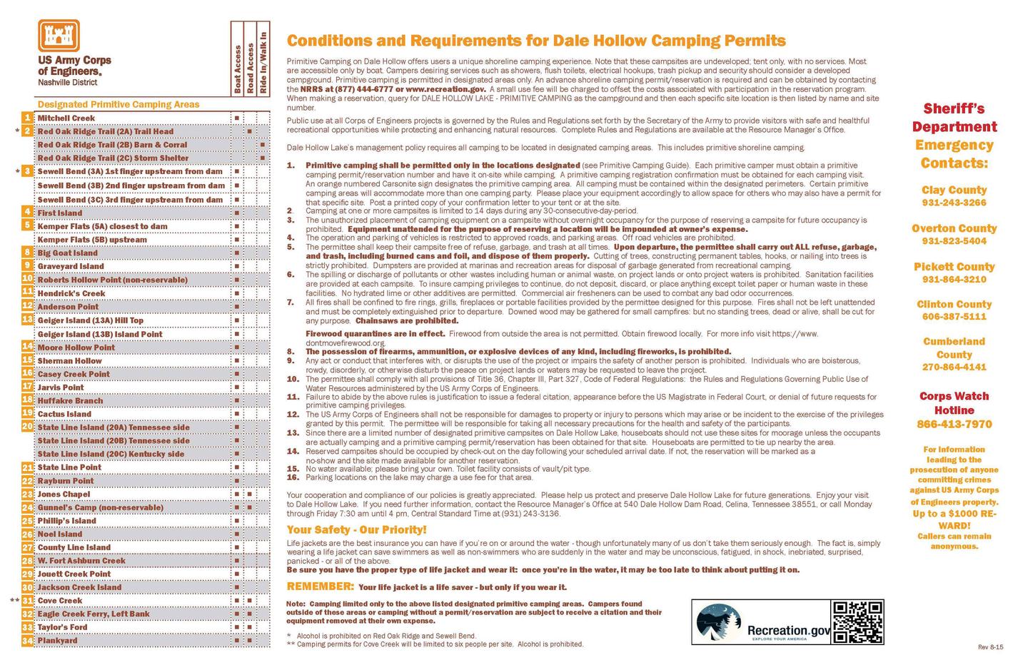
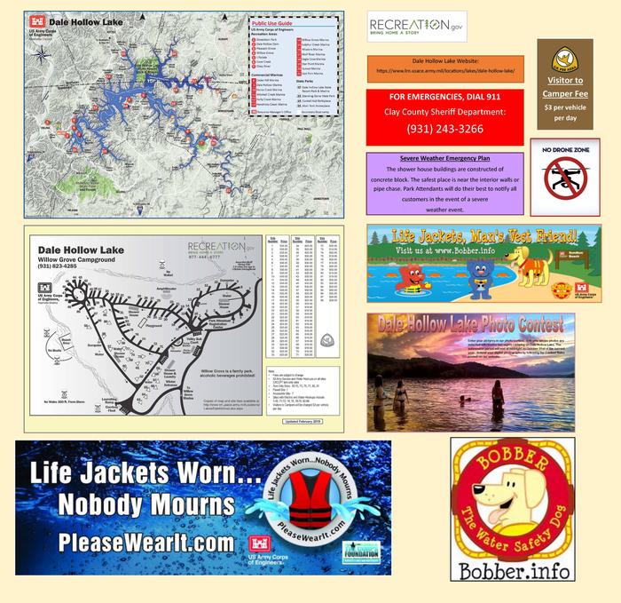
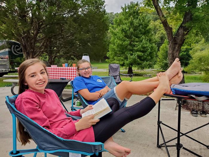
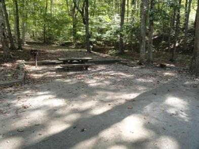
Dale Hollow Lake Primitive Camping is a unique series of 32 locations with a total of over 70 individually designated family campsites dispersed over 620 miles of shoreline. Campsites are located in both the states of Tennessee and Kentucky. Primitive camping offers a unique rustic lake front camping experience. Remote locations along the shoreline offer campers a peaceful nature experience. Most designated tent sites are accessible only by boat; while a few can be reached by country road.
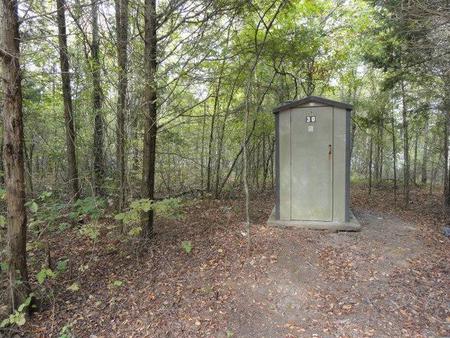
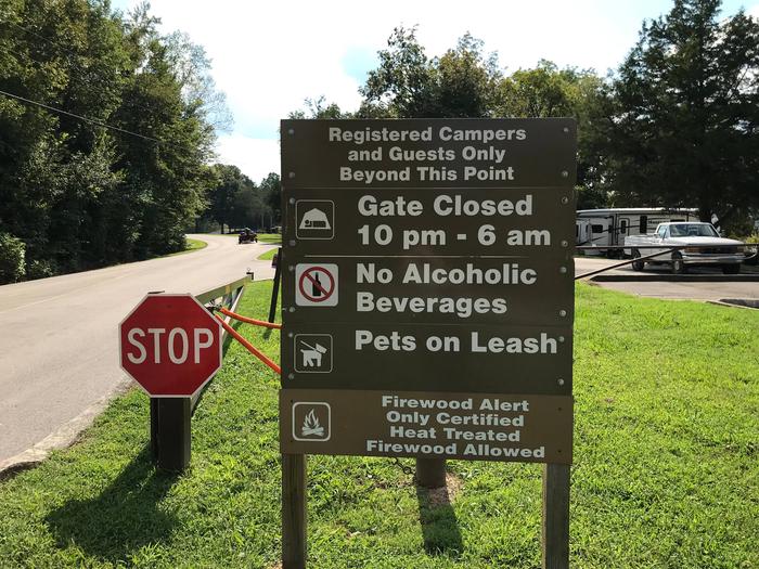
Campers are advised that these areas are remote, primitive sites. Toilets are vault/pit type outhouses. Campers desiring on-site attendant, security and law enforcement services are encouraged to use developed campgrounds where such services are provided. These services are not provided for primitive camping.
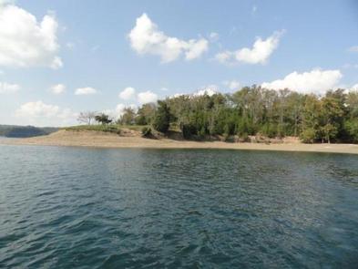
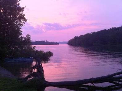
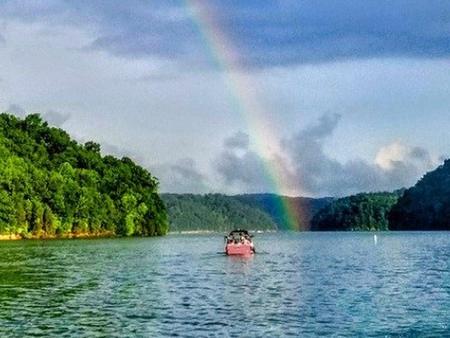
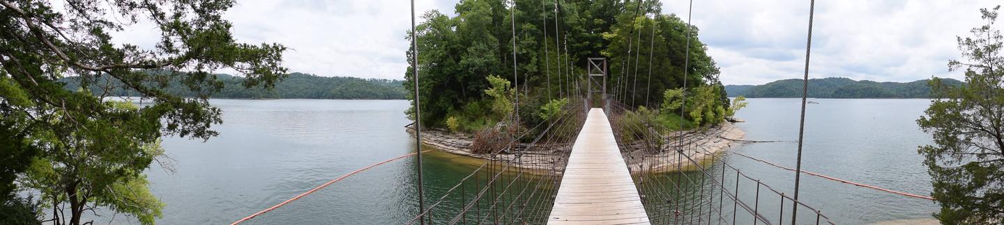
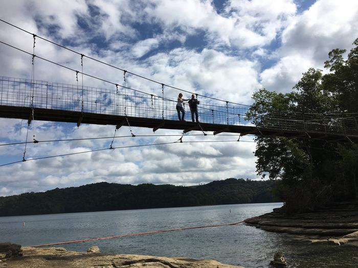
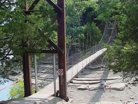
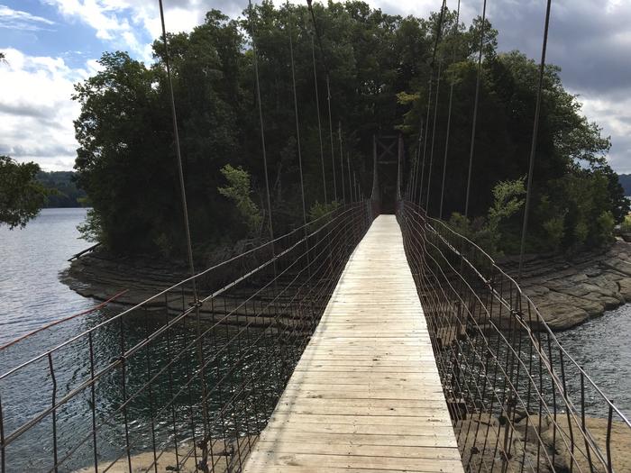
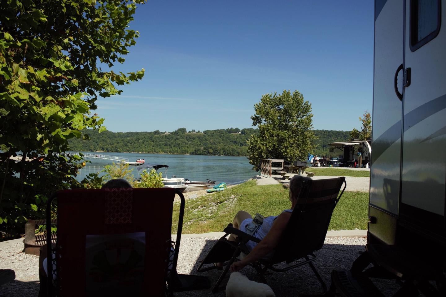
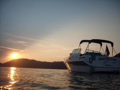
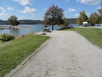
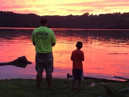
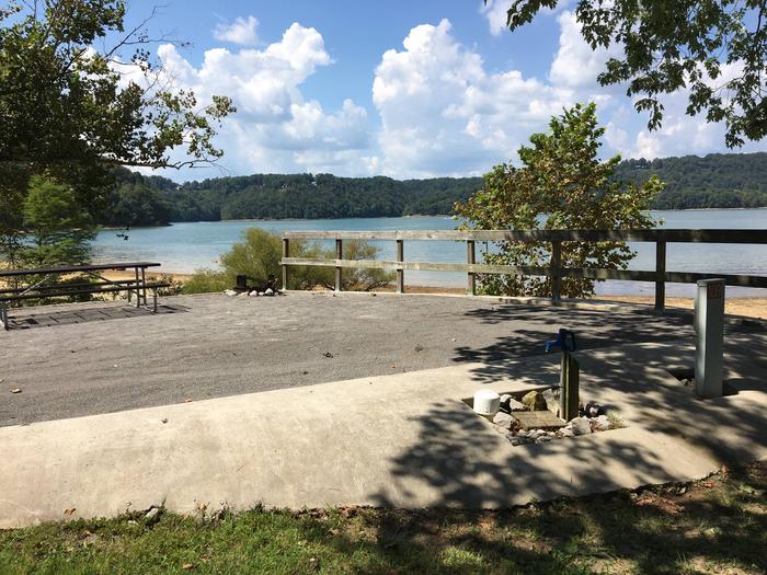
Dale Hollow Lake, with its crystal clear water and forested hillsides, is an outdoor enthusiast’s paradise. Dale Hollow is renowned for its fishing opportunities and holds the world record for smallmouth bass and is known as a trophy smallmouth lake. Boating and water skiing are popular activities, and with 27,700 surface acres of water and 620 miles of shoreline, there is plenty of space for campers to explore the lake.
Primitive camping sites are remote and accessible by boat; a few have vehicle access. Each location is designated and marked. Each area has a vault or pit type toilet and a ground grill or fire circle. Tent camping is permissible within the designated areas. Cove Creek, Eagle Creek Ferry, Gunnel’s Camp, Jones Chapel, Plank Yard, Red Oak Ridge A, and Taylors Ford are the only locations which provide for vehicle access. All areas are considered pack-it-in, pack-it-out locations with minimal services. Campers are expected to bring plenty of water and garbage bags. Cove Creek is the only location with drinking water.
Camping is limited to a 14-day stay within a 30-consecutive day period.
Dale Hollow Dam and Lake was completed in 1943. Although the dam was built for flood control and power generation, it has now become a recreational oasis for more than 3 million visitors each year. The dam is located on the Obey River, about three miles east of Celina, Tennessee. Surrounded by a thick expanse of forest, the clear blue lake creates a stunning scenic backdrop for a variety of water and land recreational activities. In the late fall through early spring, the American bald eagle can be spotted flying overhead or perched on low-lying limbs. Dale Hollow hosts the second-largest wintering eagle population in the states of Tennessee and Kentucky.
Full rules and reservation policies for fees associated with changes and cancellations can be found at https://www.recreation.gov/rules-reservation-policies
There is no fee to make a reservation.
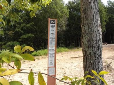
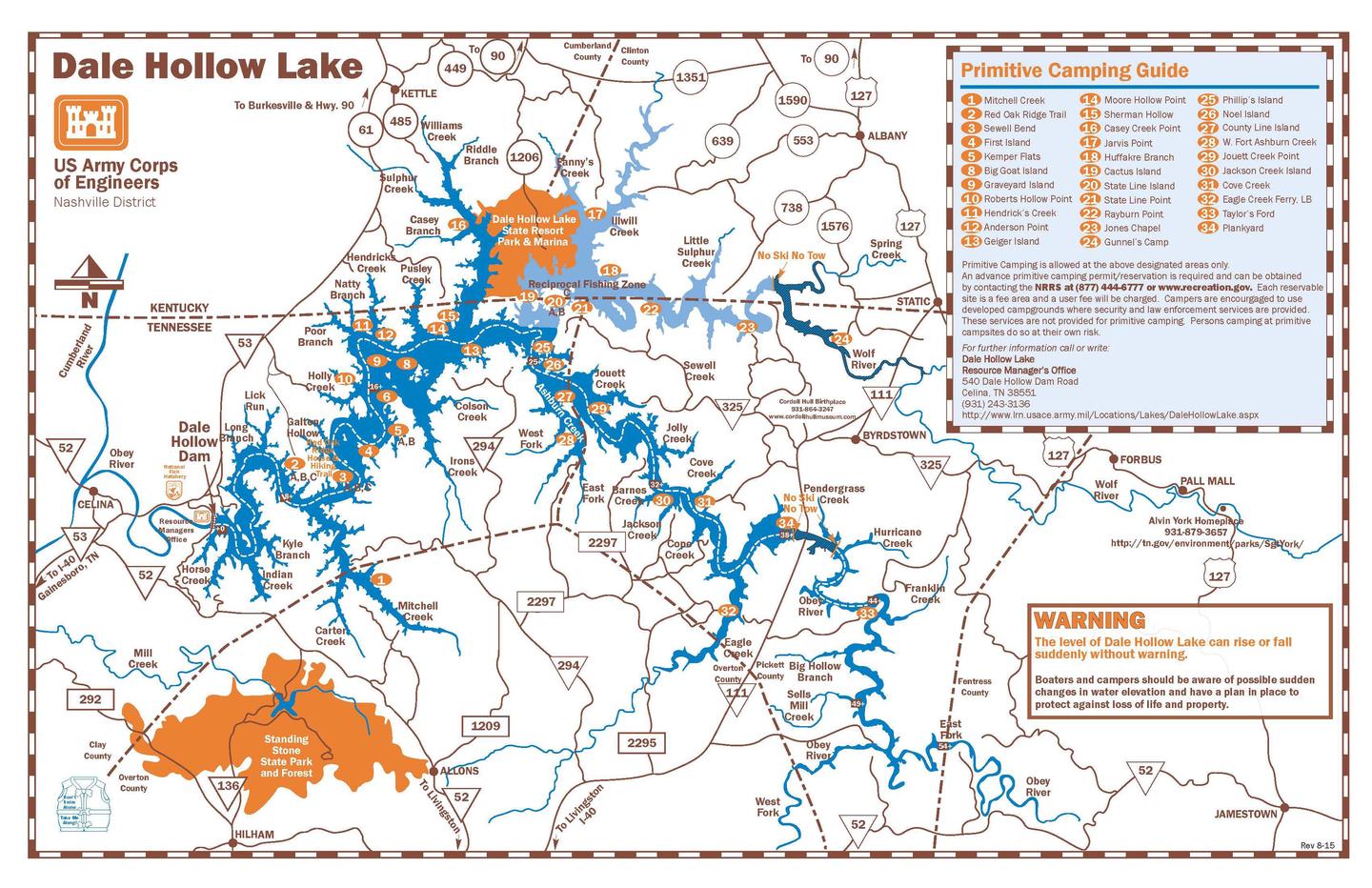


Camping locations are dispersed throughout Dale Hollow Lake. Reference primitive camping map or site details for information on how to get to the specific site. Mailing and contact information is for the Resource Manager’s Office.
GPS Coordinates listed above is the location of the Resource Manager’s Office in Celina, TN. It is NOT the location of the camping site.
Latitude 36° 34′ 0.9998″ N
Longitude 85° 28′ 43.0000″ W
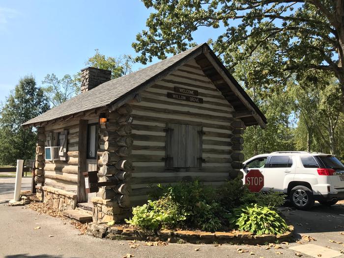
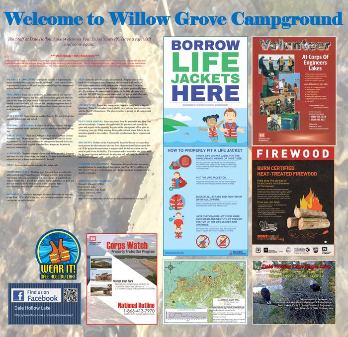
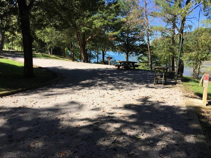
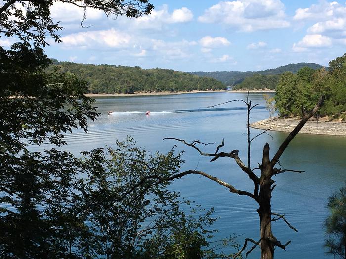
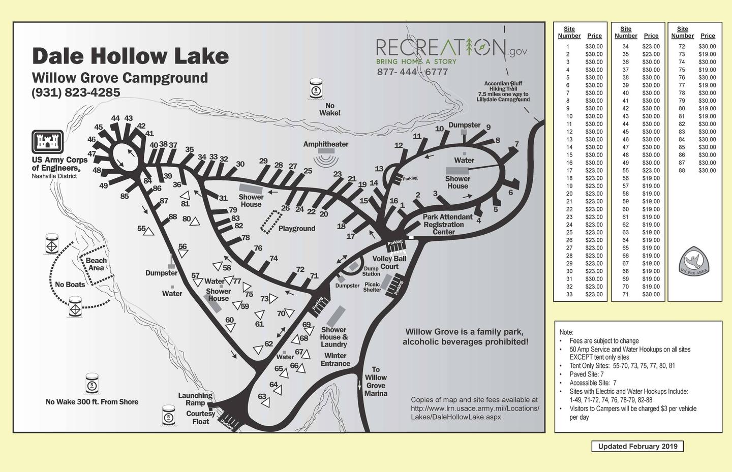
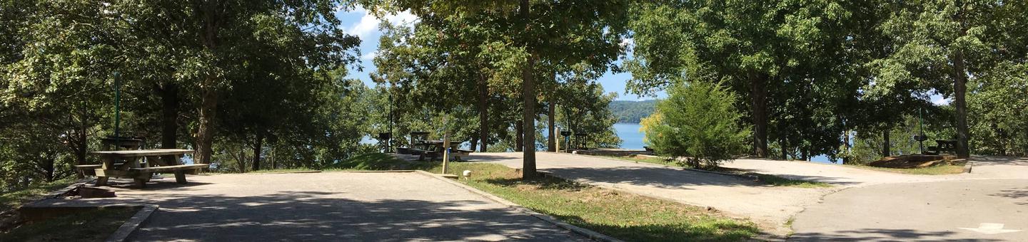
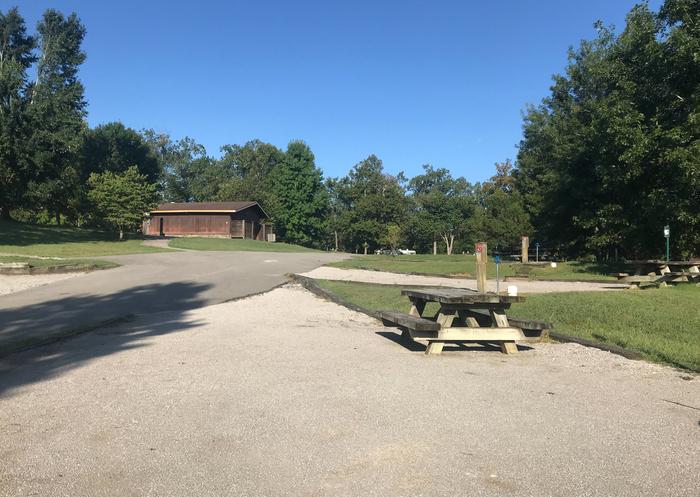
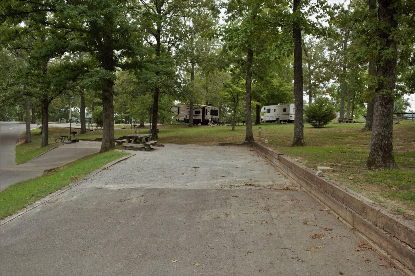
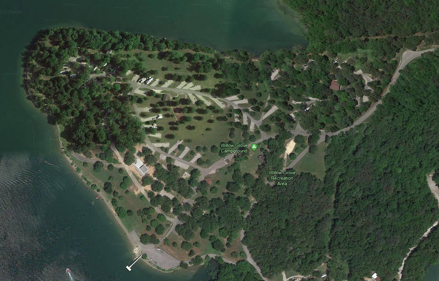
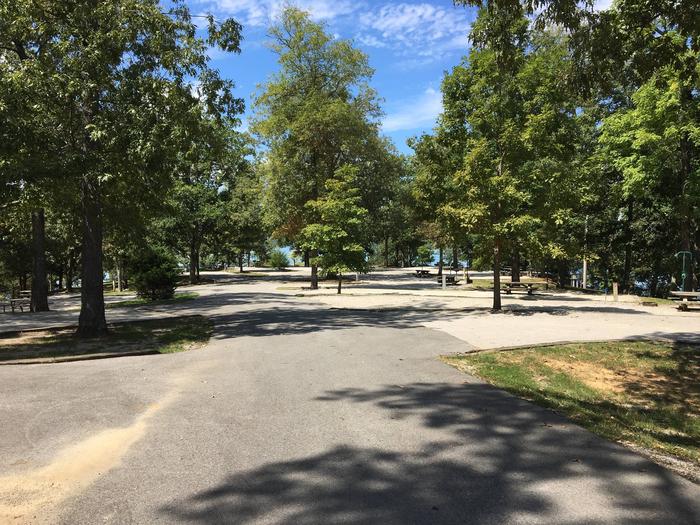
Willow Grove is a spacious campground located at Dale Hollow Lake in the hills of Tennessee. The campground sits on an elevated plateau of land, offering sweeping views of the lake and surrounding forest.
Dale Hollow is renowned for its fishing opportunities. In addition to yielding the world record smallmouth bass and being known as a trophy smallmouth lake, the Obey River below Dale Hollow Dam is also known for excellent rainbow and brown trout fishing.
Boating and water skiing are also popular activities, and with 27,700 surface acres of water and 620 miles of shoreline, there is plenty of space for campers to explore the lake. Secluded tie-ups are located around the shore, offering campers a peaceful nature experience.
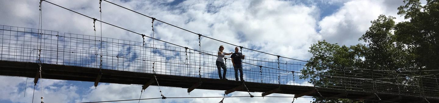
The campground is surrounded by a dense canopy of forest, and several hiking trails snake through the landscape and along the lake shore.
The Accordian Bluff Hiking Trail is a 7.5 mile one-way trail that ascends to a ridgetop and back down to the shoreline of Dale Hollow Lake. It is an ideal trail for birders and wildflower enthusiasts. This trail connects both Lillydale and Willow Grove Campgrounds and can be accessed via the trailhead located at the campground.
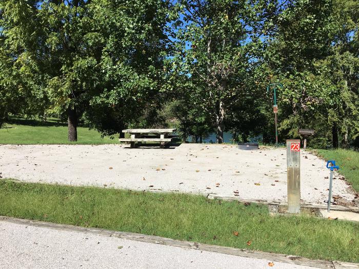
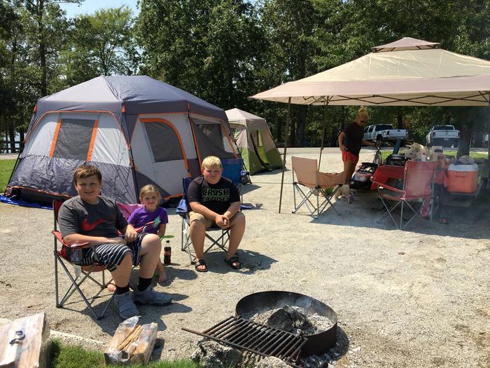
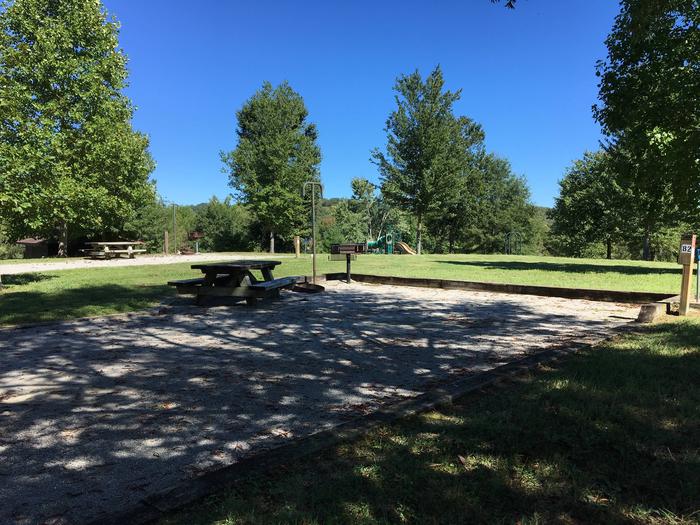
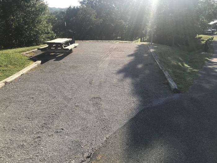
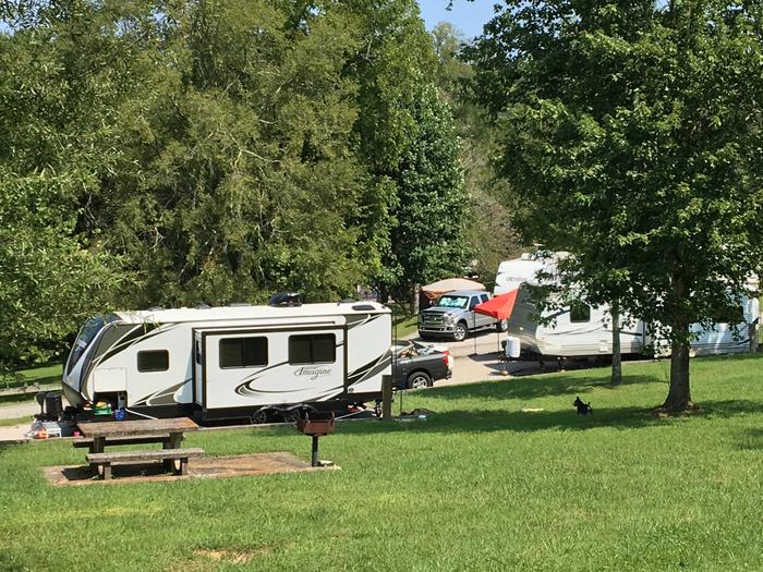
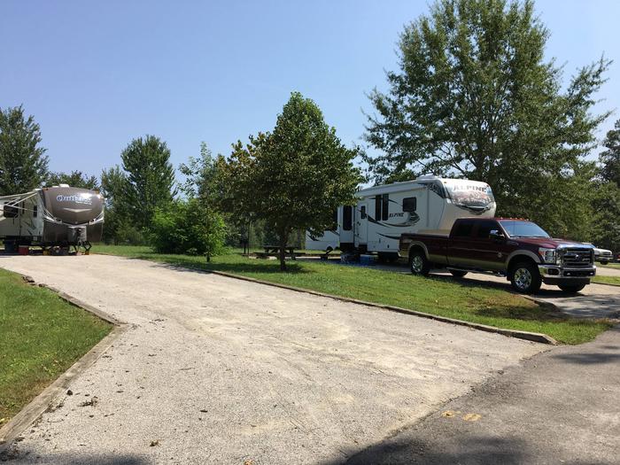
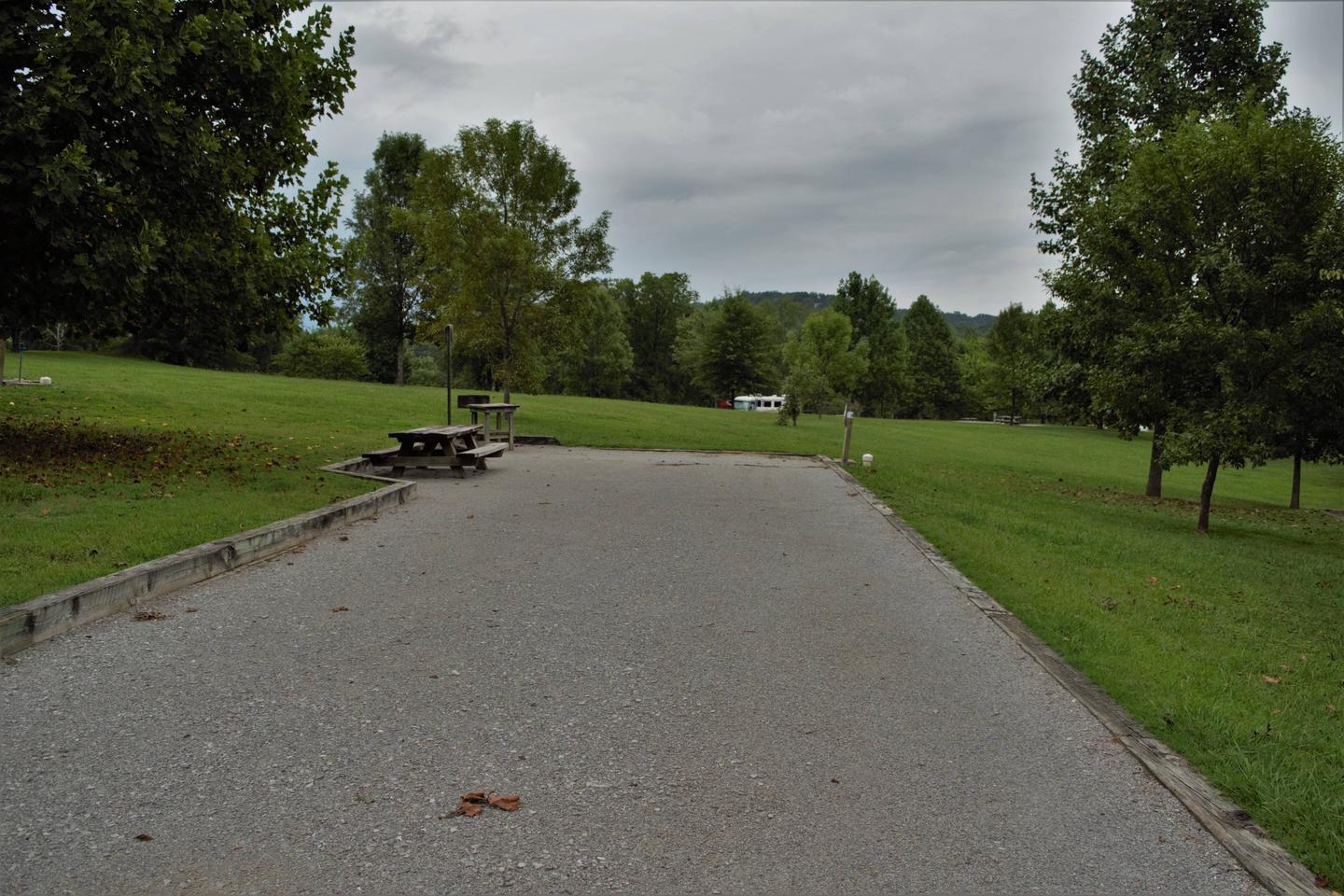
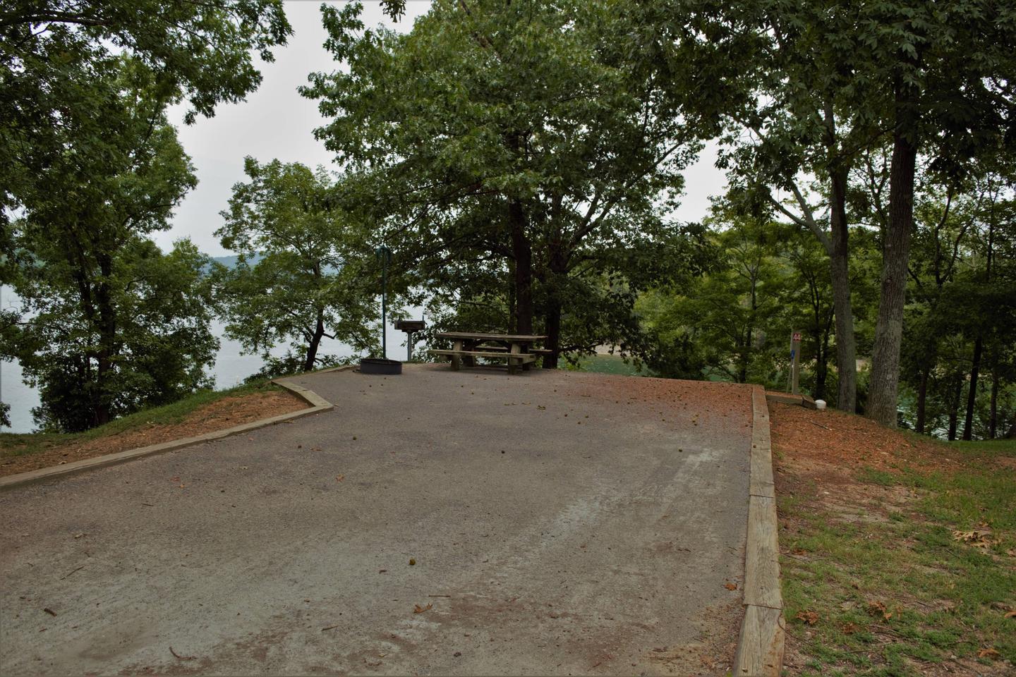
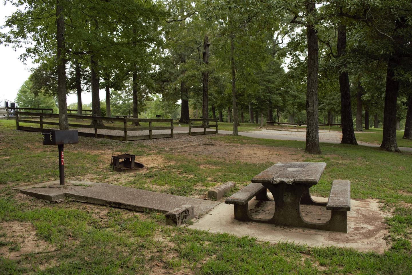
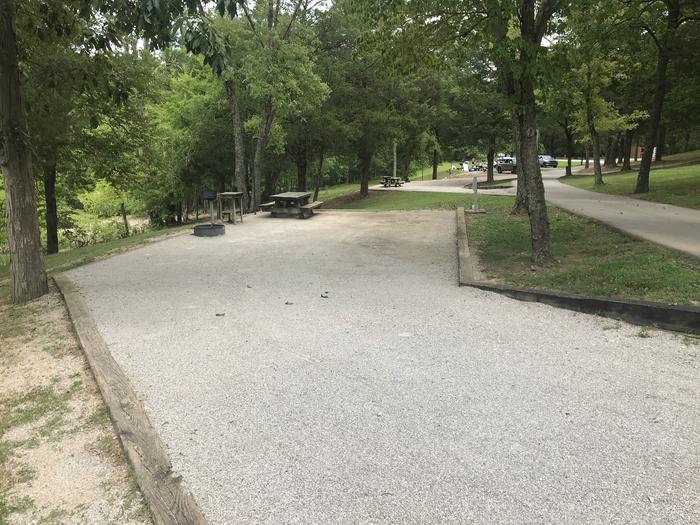
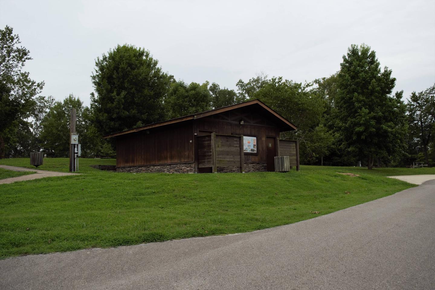
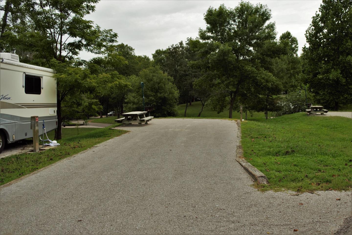
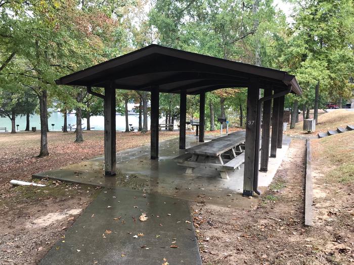
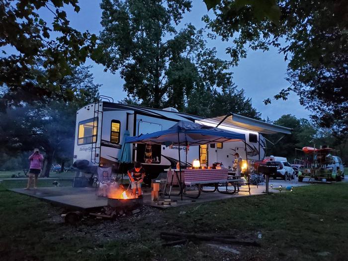
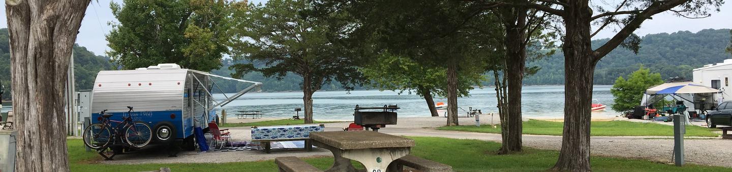
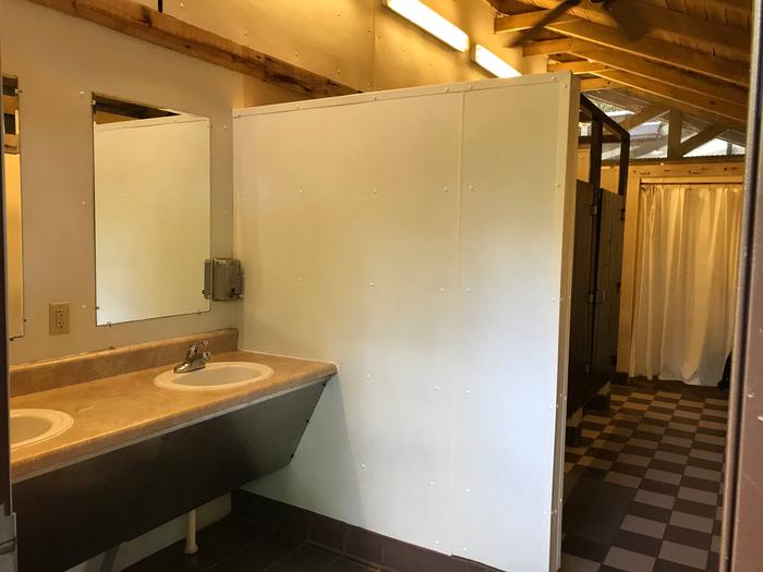
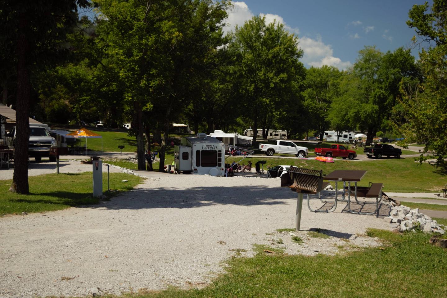
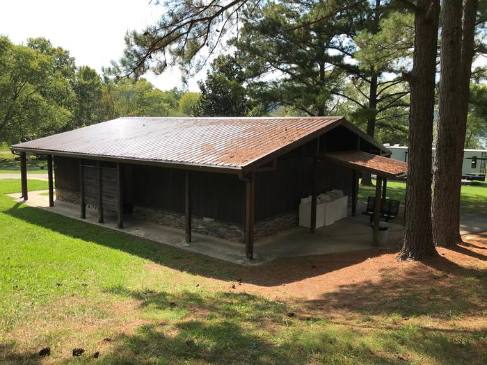
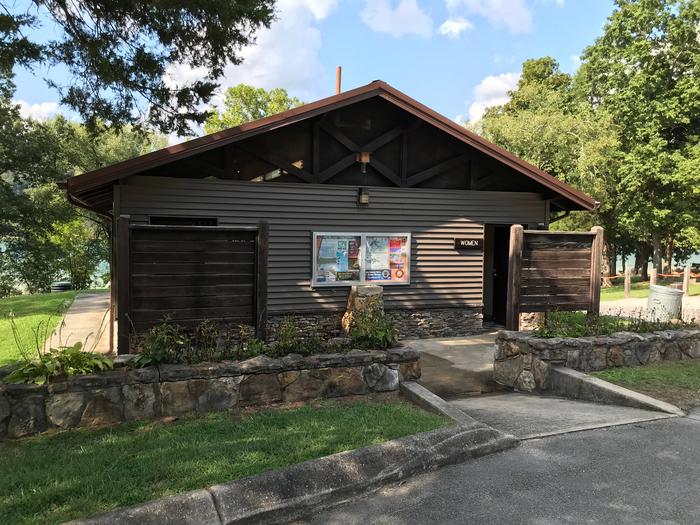
Willow Grove Campground features 83 campsites and one large group picnic shelter. Electric hookups, drinking water, flush toilets and a dump station all create a comfortable camping experience.
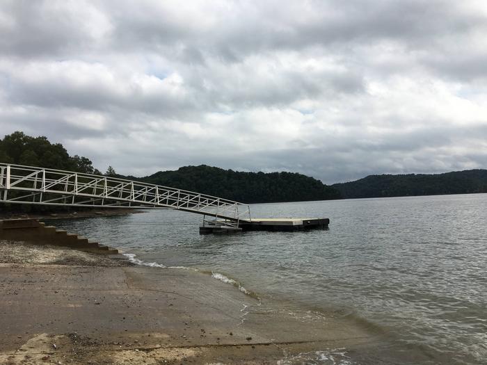
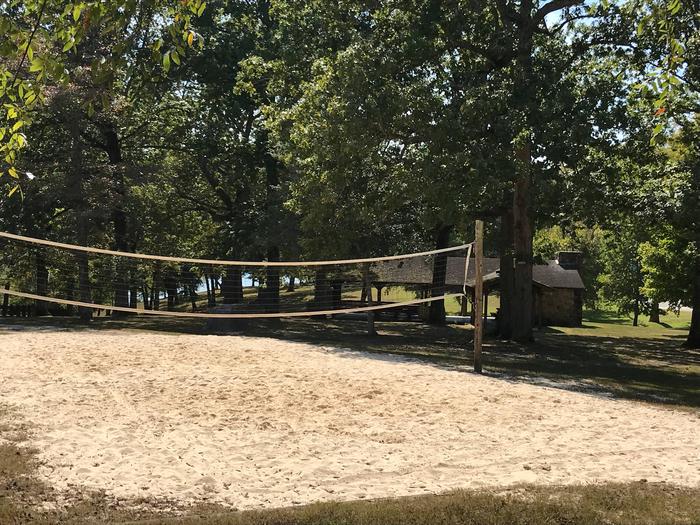
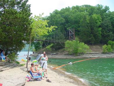
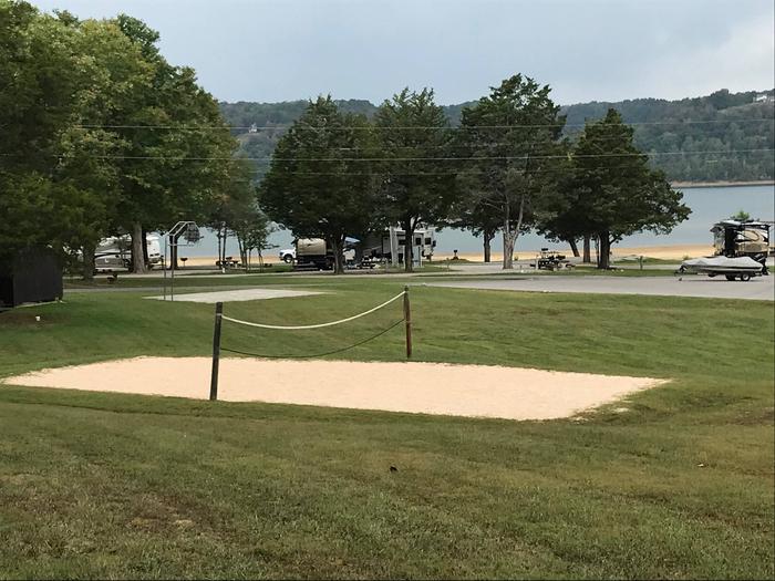
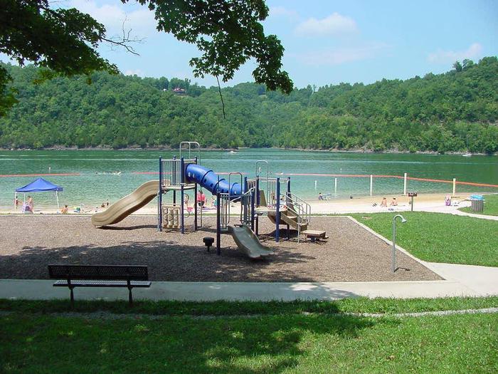
The nearby sunken foundation of the historic Willow Grove School House provides a popular destination for scuba divers. A swimming beach, volleyball court and playground provide additional recreational opportunities.
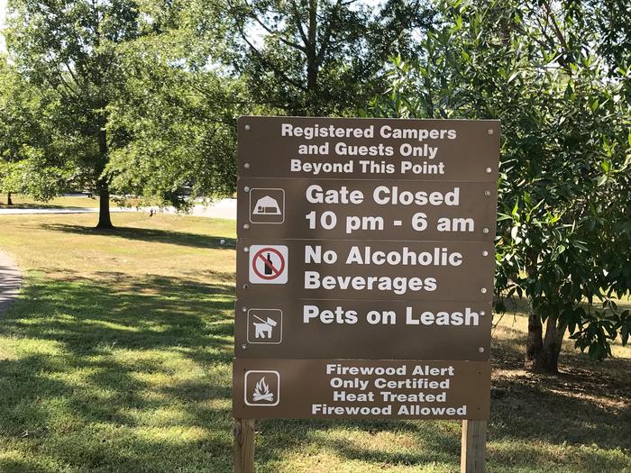
Camping is limited to a 14-day stay within a 30-consecutive day period.
Site Type Definitions:
For site specifics such as site measurements, parking and if the site is level, be sure to review the Information text at the bottom of each specific site page.
All camping equipment and vehicles are to be located on the designated site pad or parking areas.
General Site Notes:
Dale Hollow Dam and Lake was completed in 1943. Although the dam was built for flood control and power generation, it has now become a recreational oasis for more than 3 million visitors each year.
The dam is located on the Obey River, about 3 miles east of Celina, Tennessee. Surrounded by a thick expanse of forest, the clear blue lake creates a stunning scenic backdrop for a variety of water and land recreational activities.
In the late fall through early spring, the American Bald Eagle can be spotted flying overhead or perched on low-lying limbs. Dale Hollow hosts the second-largest wintering eagle population in the states of Tennessee and Kentucky.
The Dale Hollow National Fish Hatchery is about 32 miles from the campground. Operated by the U.S. Fish and Wildlife Service, the hatchery is the largest federal trout hatchery east of the Mississippi, producing 1.5 million trout annually. The hatchery is open to visitors daily.
Full rules and reservation policies for fees associated with changes and cancellations can be found at https://www.recreation.gov/rules-reservation-policies


From Byrdstown, Tennessee, take Highway 111 south for about 13 miles. Turn north on 294/Willow Grove Road (at Big Springs Market) and continue for about 16 miles, then turn right into the camp entrance, just before Willow Grove Marina.
It is recommended that visitors do not rely soley on GPS or Mapquest to reach the park.
Latitude 36° 35′ 14.3801″ N
Longitude 85° 20′ 31.6298″ W
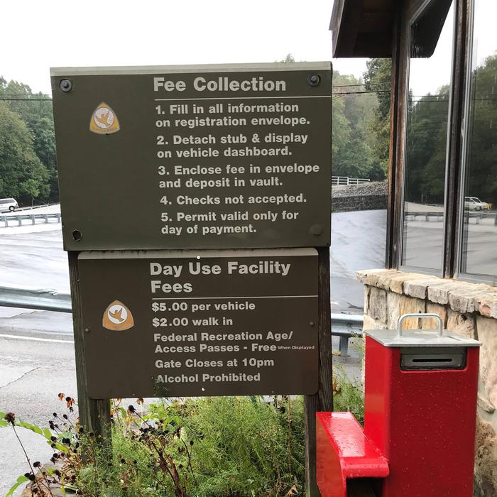
Pleasant Grove Recreation Area is a day-use facility, located along the shores of Dale Hollow Lake in the hills of Tennessee.
Dale Hollow is renowned for its fishing opportunities. In addition to yielding the world record smallmouth bass and being known as a trophy smallmouth lake, the Obey River below Dale Hollow Dam is also known for excellent rainbow and brown trout fishing.
Boating and water skiing are also popular activities, and with 27,700 surface acres of water and 620 miles of shoreline, there is plenty of space for visitors to explore the lake. A boat launch is provided.
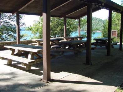
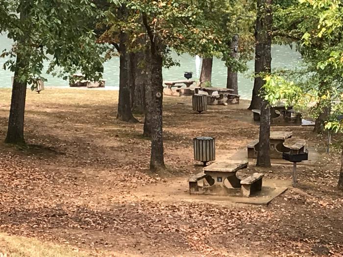
Pleasant Grover also offers a picnic area with a reservable shelter, located on a beautiful peninsula with exceptional views of Dale Hollow Dam.
Pleasant Grove Recreation Area offers a large group picnic shelter with five picnic tables and grills. Flush toilets and drinking water are also provided.
A boat ramp provides convenient lake access.
Dale Hollow Dam and Lake was completed in 1943. Although the dam was built for flood control and power generation, it has now become a recreational oasis for more than 3 million visitors each year.
The dam is located on the Obey River, about 3 miles east of Celina, Tennessee. Surrounded by a thick expanse of forest, the clear blue lake creates a stunning scenic backdrop for a variety of water and land recreational activities.
In the late fall through early spring, the American Bald Eagle can be spotted flying overhead or perched on low-lying limbs. Dale Hollow hosts the second largest wintering eagle population in the states of Tennessee and Kentucky.
The Dale Hollow National Fish Hatchery is adjacent to the dam. Operated by the U.S. Fish and Wildlife Service, the hatchery is the largest federal trout hatchery east of the Mississippi, producing 1.5 million trout annually. The hatchery is open to visitors daily.
Full rules and reservation policies for fees associated with changes and cancellations can be found at https://www.recreation.gov/rules-reservation-policies


From Celina, Tennessee, turn northeast on Route 53 and continue for 4 miles. Turn right on Old Route 53 at the Cedar Hill/Pleasant Grove exit and follow signs to the park.
It is recommended that visitors do not rely on GPS or Mapquest to reach the park.
Latitude 36° 32′ 19.3200″ N
Longitude 85° 26′ 23.8200″ W
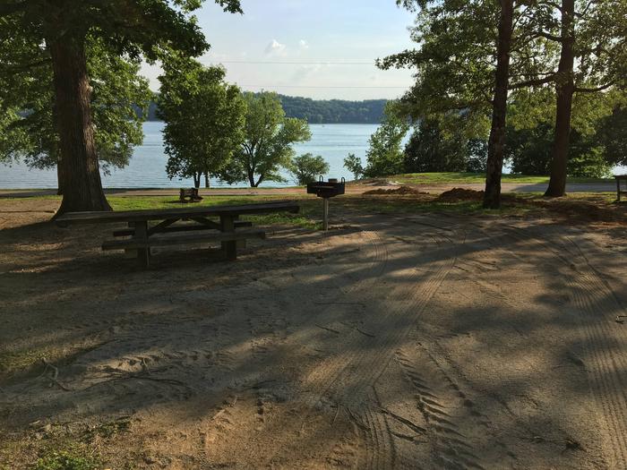
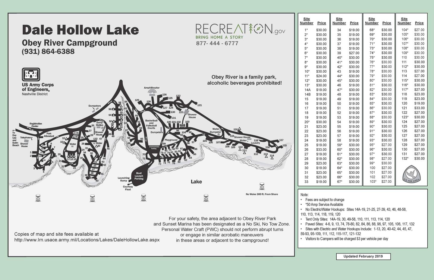
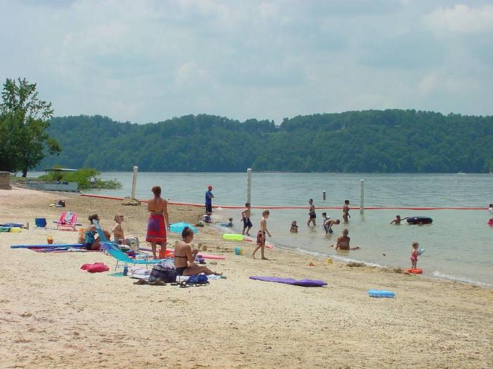
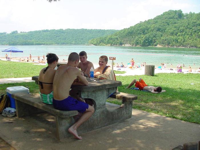
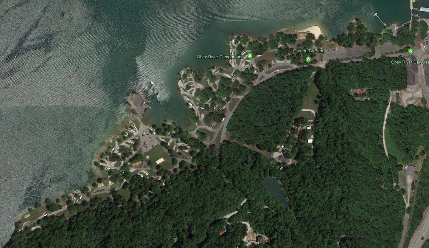
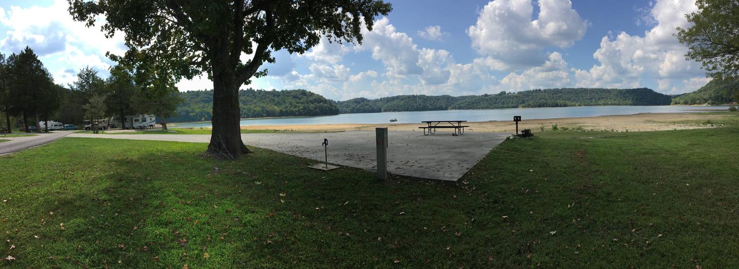
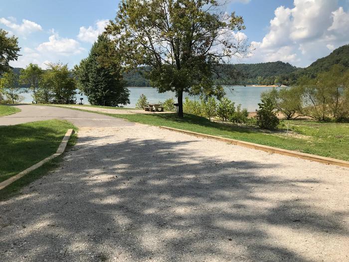
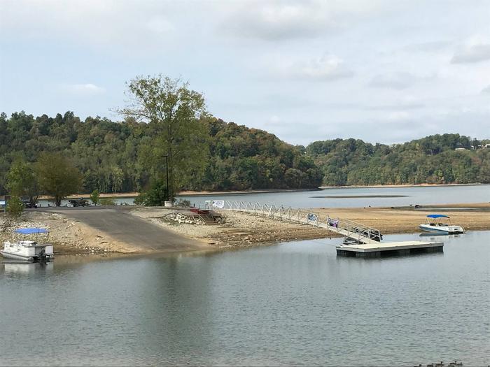
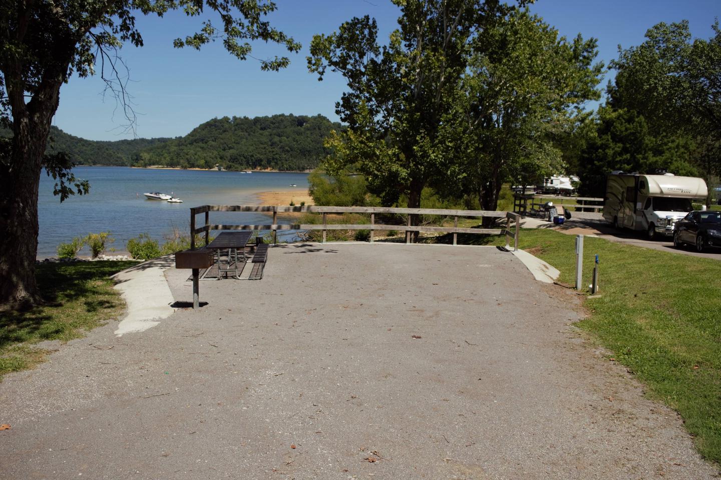
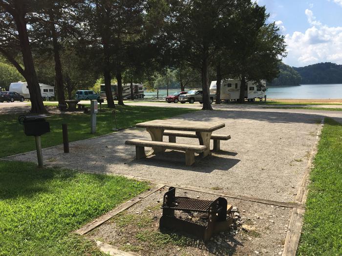
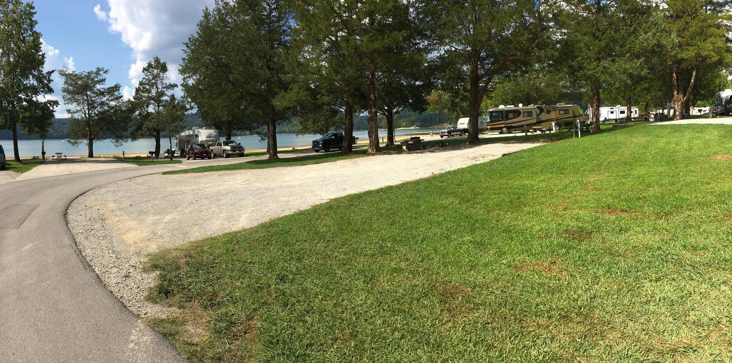
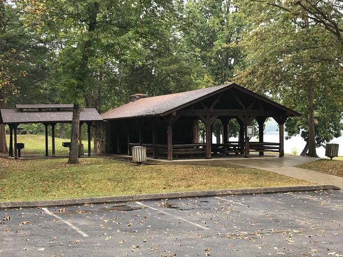
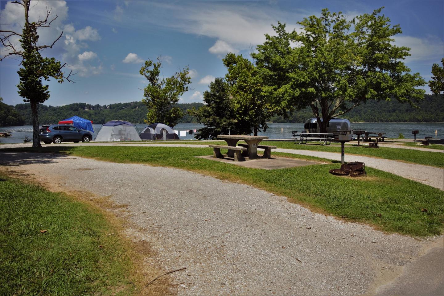
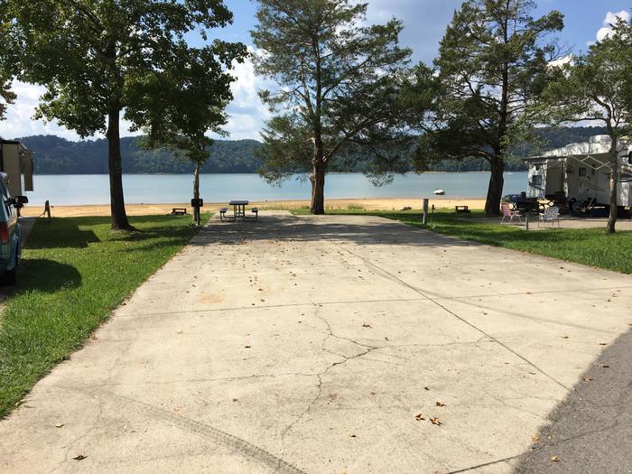
Obey River Park is a spacious campground located on the shores of Dale Hollow Lake, in the hills of Tennessee. The campground provides the largest camping area at the lake, as well as the largest and most visited swimming beach.
Dale Hollow is renowned for its fishing opportunities. In addition to yielding the world record smallmouth bass and being known as a trophy smallmouth lake, the Obey River below Dale Hollow Dam is also known for excellent rainbow and brown trout fishing.
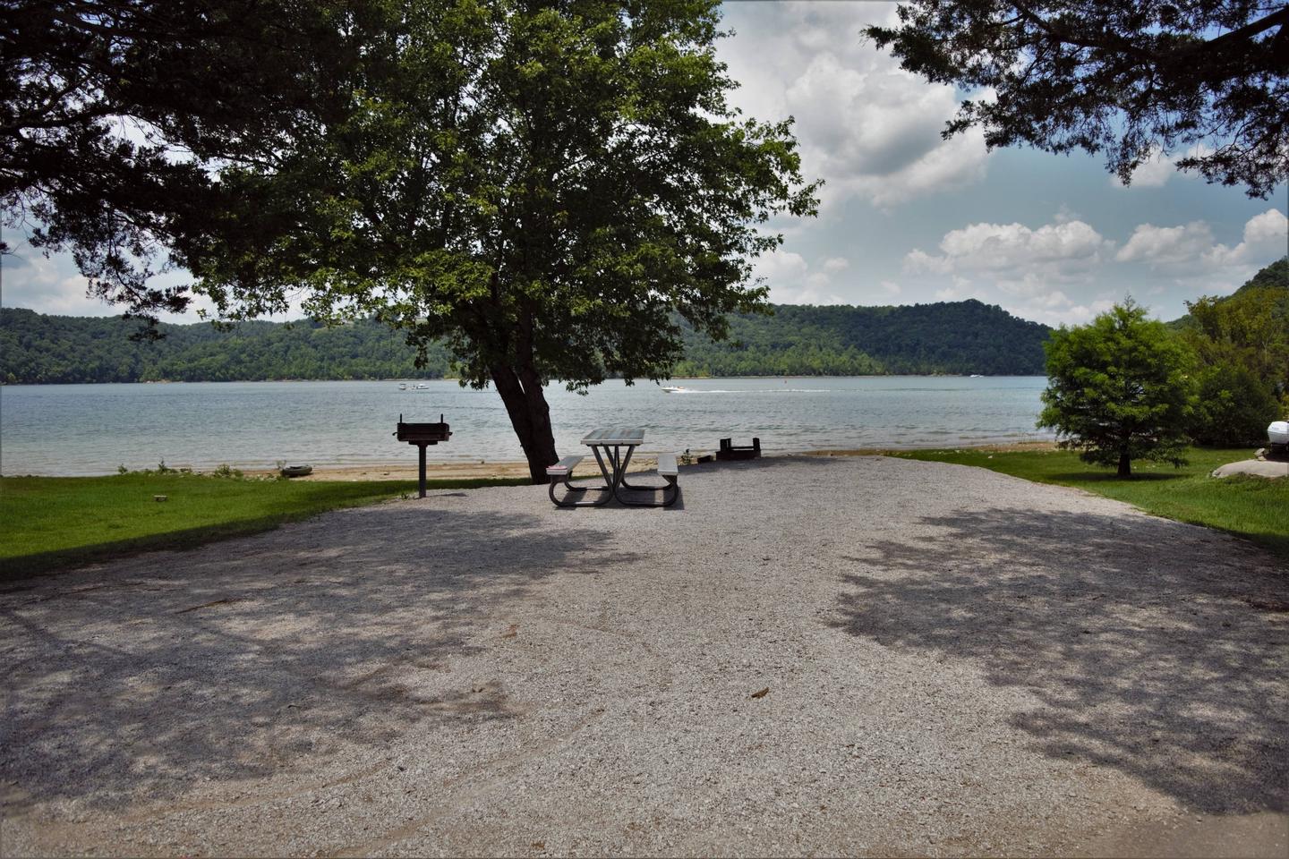
Boating and water skiing are also popular activities, and with 27,700 surface acres of water and 620 miles of shoreline, there is plenty of space for campers to explore the lake.
Obey River is the most popular campground and day-use area on Dale Hollow Lake. This is a vacation destination for camping, boating, skiing, fishing and beach-goers. The site is conveniently located next to a small community hosting restaurants, history and several marinas.
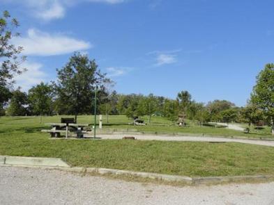
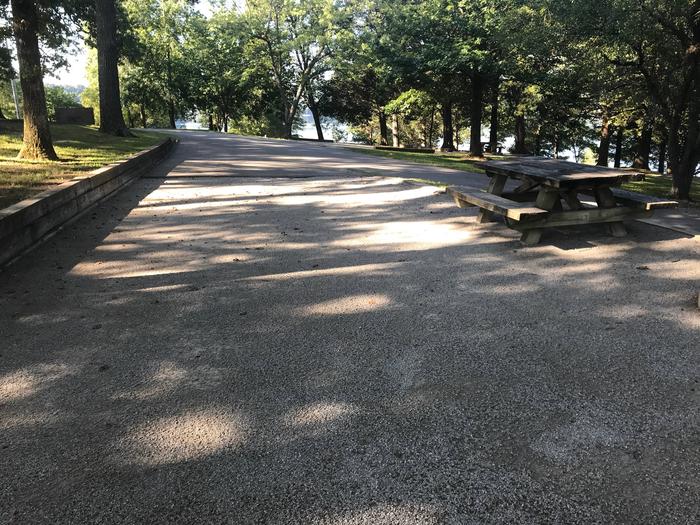
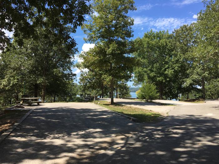
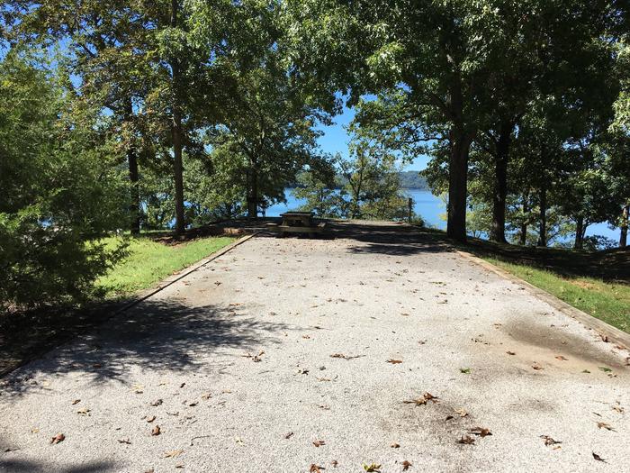
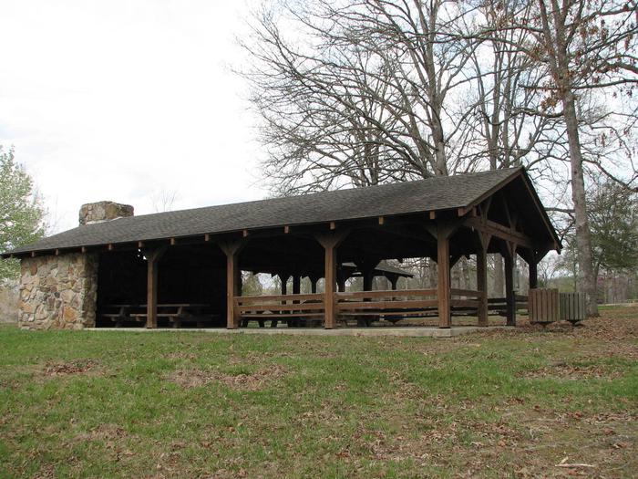
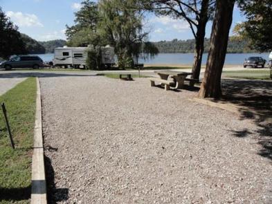
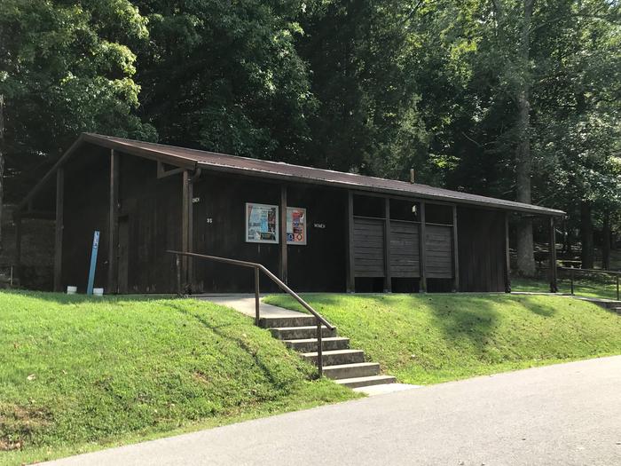
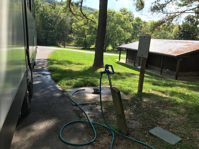
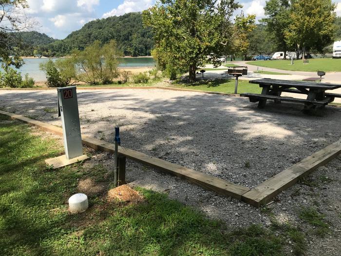
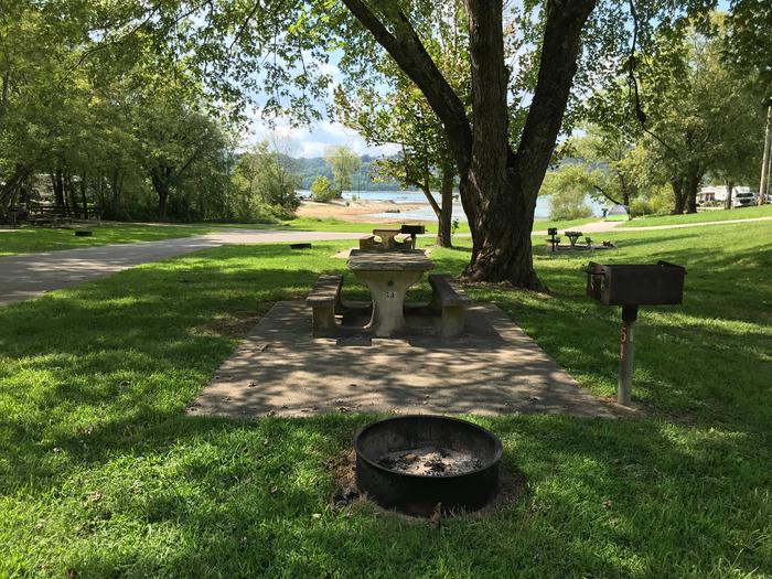
Obey River Park Campground features 131 campsites and two large group picnic shelters. Electric hookups, drinking water, flush toilets and a dump station all create a comfortable camping experience.
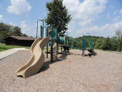
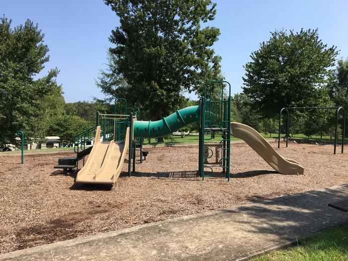
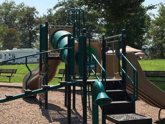
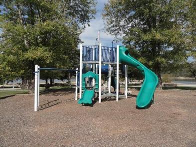
A swimming beach, basketball court and playgrounds provide additional recreational opportunities.
Camping is limited to a 14-day stay within a 30-consecutive day period.
Site Type Definitions:
For site specifics such as site measurements, parking and if the site is level, be sure to review the Information text at the bottom of each specific site page.
All camping equipment and vehicles are to be located on the designated site pad or parking areas.
General Site Notes:
Dale Hollow Dam and Lake was completed in 1943. Although the dam was built for flood control and power generation, it has now become a recreational oasis for more than 3 million visitors each year.
The dam is located on the Obey River, about 3 miles east of Celina, Tennessee. Surrounded by a thick expanse of forest, the clear blue lake creates a stunning scenic backdrop for a variety of water and land recreational activities.
In the late fall through early spring, the American Bald Eagle can be spotted flying overhead or perched on low-lying limbs. Dale Hollow hosts the second largest wintering eagle population in the states of Tennessee and Kentucky.
During migration seasons the call of the sandhill crane is often heard overhead. Lucky visitors might catch a glimpse of one up close, as they often land near the campground.
The nearby towns of Byrdstown and Pall Mall, Tennessee, offer historic sites and tours. The Cordell Hull Birthplace and Memorial is located near Byrdstown, Tennessee. Hull, a great statesman, is most widely remembered as a recipient of the Nobel Peace Prize and the father of the United Nations. The Sergeant Alvin York Home Place, home of the World War I hero, is located in Pall Mall, Tennessee.
The Dale Hollow National Fish Hatchery is about 35 miles from the campground. Operated by the U.S. Fish and Wildlife Service, the hatchery is the largest federal trout hatchery east of the Mississippi, producing 1.5 million trout annually. The hatchery is open to visitors daily.
Full rules and reservation policies for fees associated with changes and cancellations can be found at https://www.recreation.gov/rules-reservation-policies


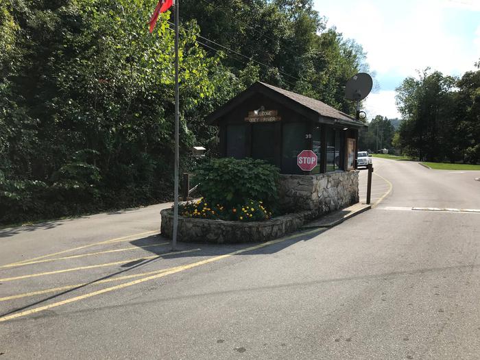
From Byrdstown, Tennessee, take Highway 111 south for 3 miles. After crossing the bridge turn right and follow the signs into the campground and day-use area, located to the left of Sunset Marina (2040 Sunset Dock Road, Monroe, TN 38573).
From Livingston, Tennessee, take Highway 111 north for 15 miles. Follow the signs and turn left into the campground and day-use area.
It is recommended that visitors do not rely soley on GPS or Mapquest to reach the park.
Latitude 36° 31′ 52.8802″ N
Longitude 85° 10′ 3.4900″ W