Overview
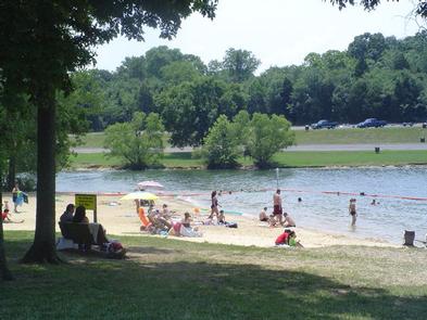
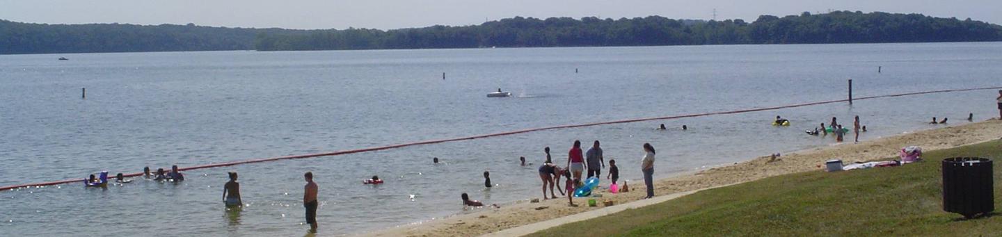
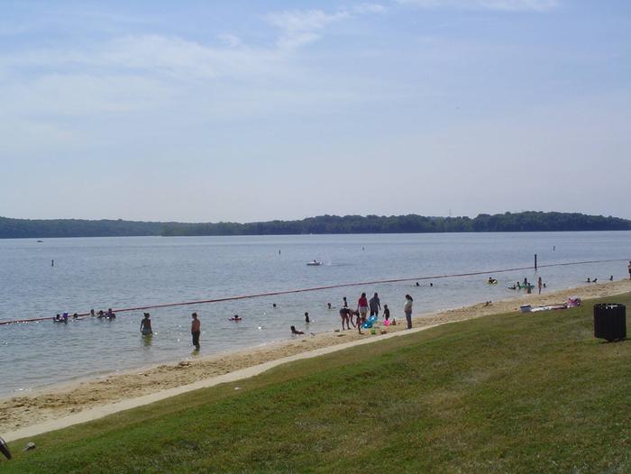
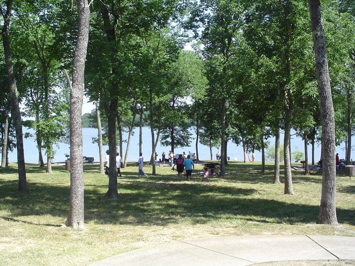
Avondale is a wonderful destination for people looking to launch a boat or have a picnic. Here, visitors can bring their family and friends for water sports and plenty of sunshine.
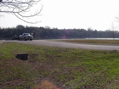
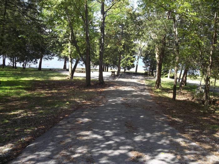
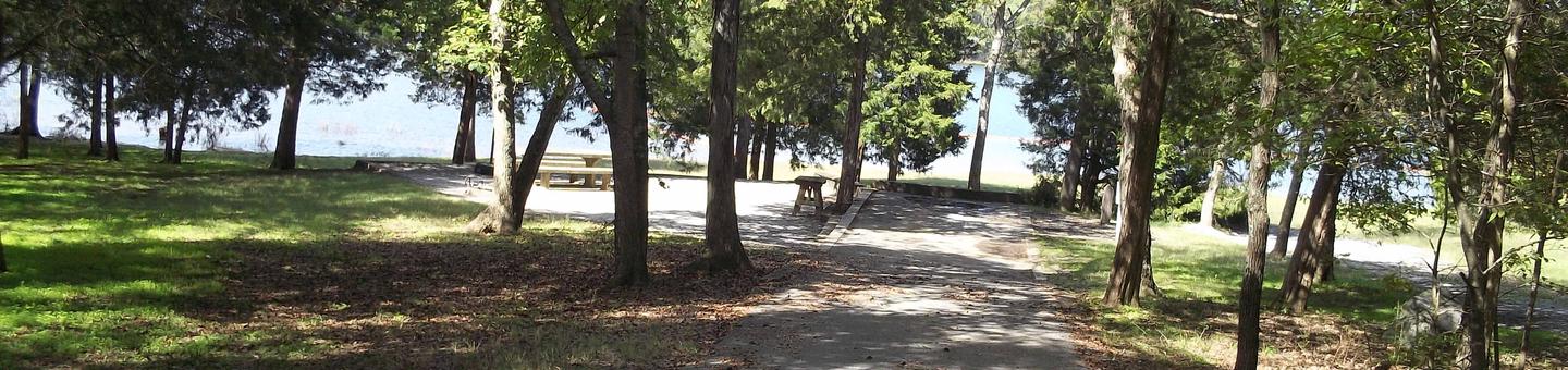
The picnic area is on the shores of Old Hickory Lake, just a short drive from Nashville, Tennessee. The lake is named after Andrew Jackson, the 7th U.S. President and Tennessee native with the nickname “Old Hickory.”
Recreation
Avondale is an ideal launching point for boat fishing. Bank fishing is also popular, with black bass, crappie and paddlefish in the area. Water skiing, sailing, wakeboarding, and swimming are also big attractions at Old Hickory Lake.
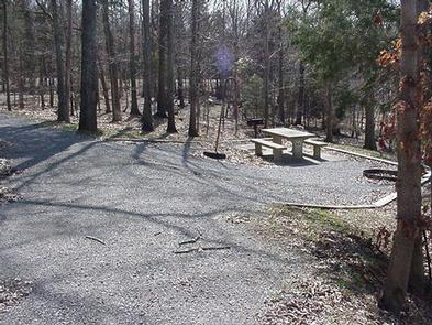
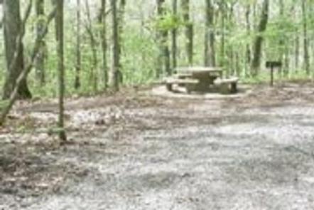
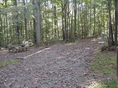
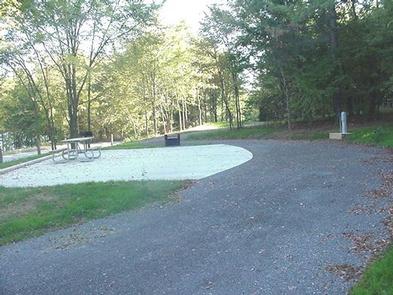
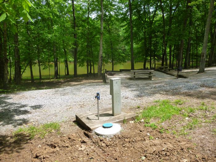
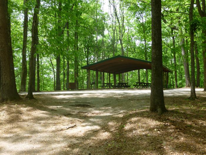
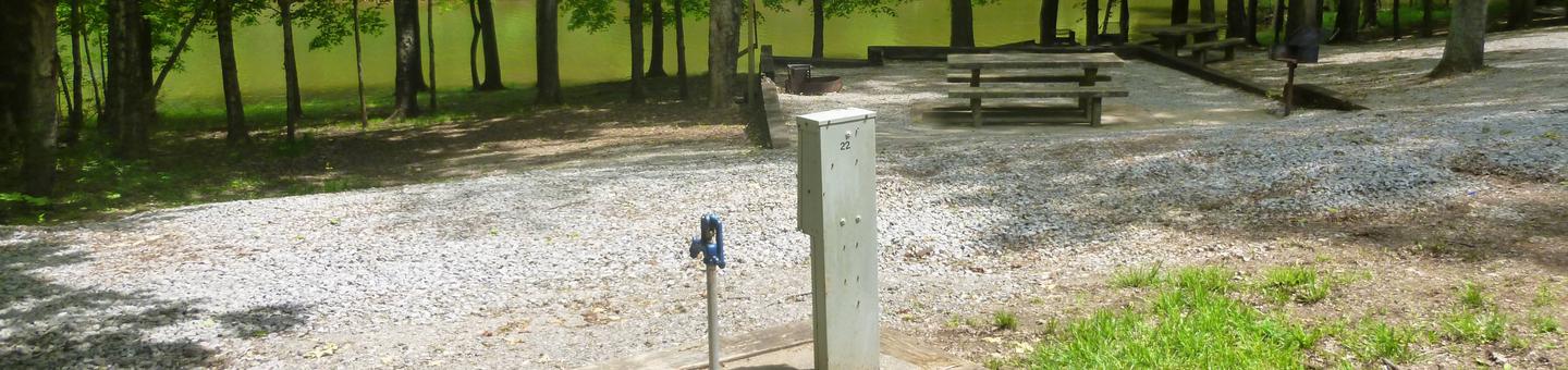
Facilities
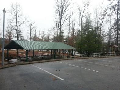
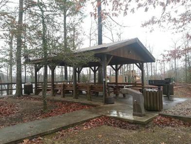
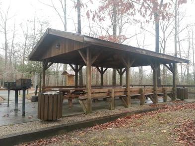
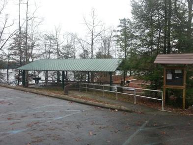
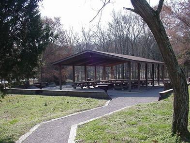
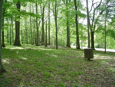
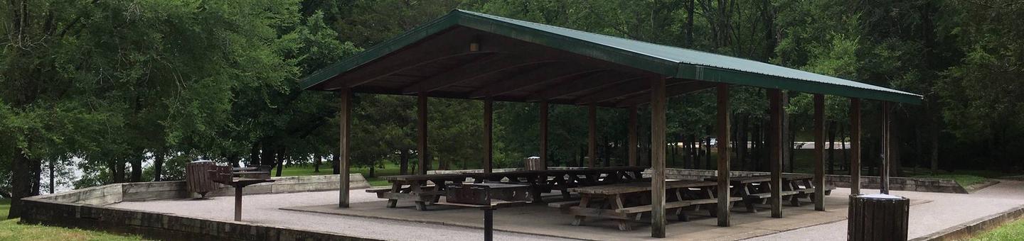
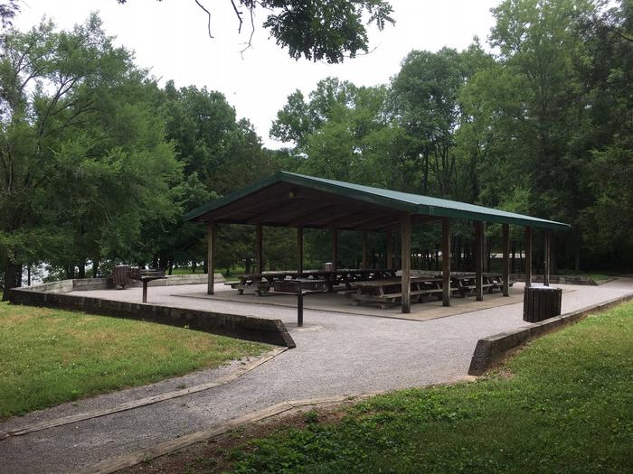
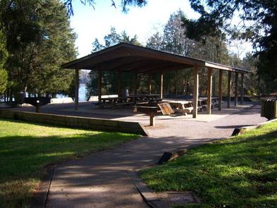
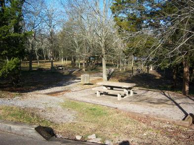
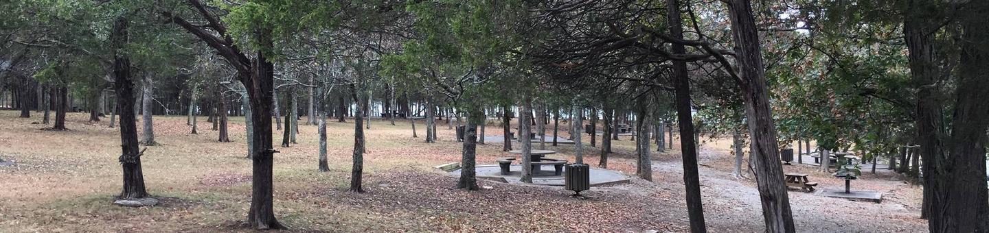
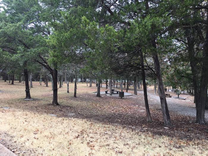
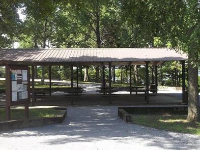
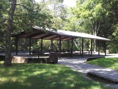
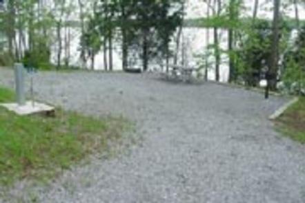
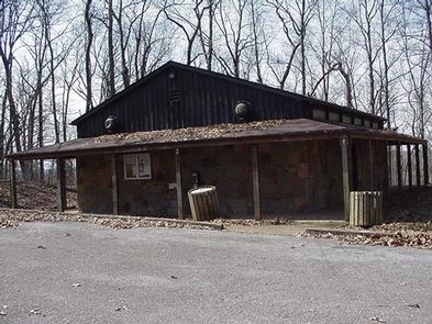
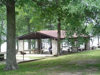
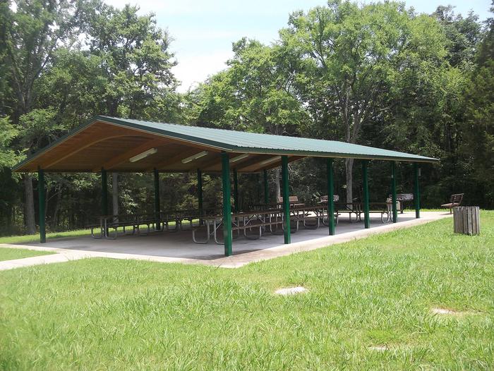
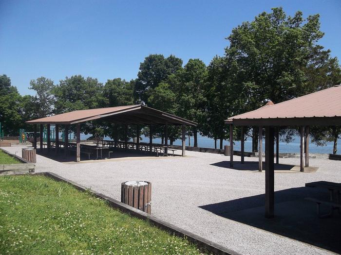
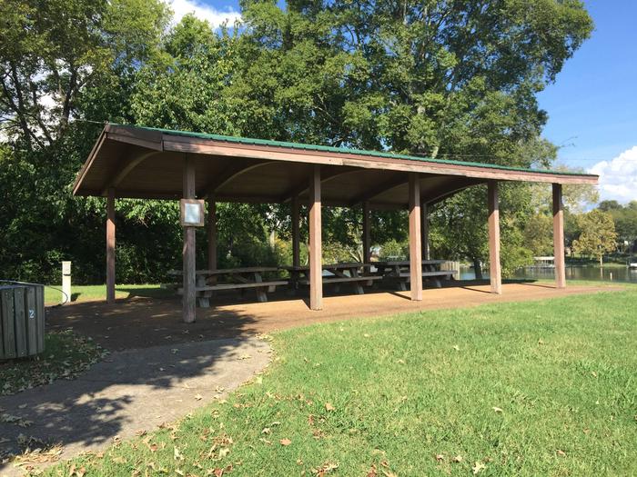
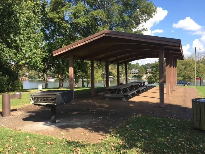
The group picnic shelter accommodates up to 50 people and approximately 30 vehicles.
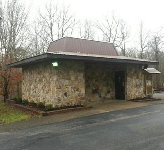
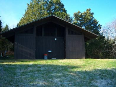
Flush toilets and a boat ramp are available for use.
Natural Features
Old Hickory Lake is a reservoir in north-central Tennessee created by the Old Hickory Lock and Dam. The lake receives its primary inflow from the Cumberland River and spans 22,500 acres surrounded by wooded areas and grassy flatlands.
Nearby Attractions
Lock 4 Park is just a short drive away and offers several mountain biking trails as well as a fishing dock for bank fisherman.
The town of Hendersonville is very close and offers various historic districts to explore and great food.
Nearby Activities
- Boating
- Camping
- Fishing
- Kayaking
- Canoeing
- Water access
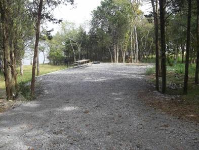
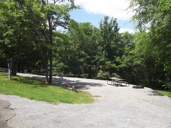
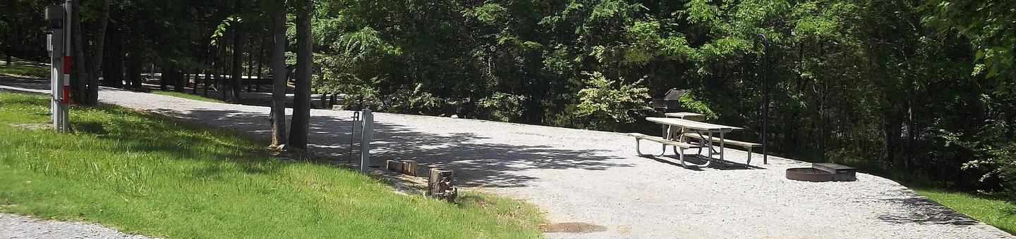
Gallery

Directions
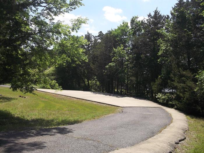
From Nashville, TN, take I-65 N to TN-386/Vietnam Veterans Blvd. Take exit 9 from TN-386/Vietnam Veterans Blvd, turn right onto Shute Lane. Continue straight onto Avondale Access Road. Follow signs into recreation area.
GPS Coordinates
Latitude 36° 19′ 23.0002″ N
Longitude 86° 32′ 29.0000″ W