This recreation area is part of Crooked Creek Lake
Directions
GPS Coordinates
Latitude 40° 42′ 42.8019″ N
Longitude 79° 30′ 45.4628″ W
This recreation area is part of Crooked Creek Lake
Latitude 40° 42′ 42.8019″ N
Longitude 79° 30′ 45.4628″ W
Tucked away amidst rolling hills, Conemaugh River Lake complements the tranquil rural countryside of southern Indiana County. Only a short drive from Pittsburgh, the project offers numerous recreational opportunities and historic resources to explore. Visitors will discover that Conemaugh’s pleasant surroundings are an ideal setting for outdoor adventure or a quiet escape. Bursting with history, primary sites of interest include traces of The Pennsylvania Mainland Canal and sections of the 1864 and 1907 railroads. The U.S. Army Corps of Engineers invites you to come enjoy the serene vistas and relaxed atmosphere of Conemaugh River Lake. Think about hosting a family reunion or a party at one of the picnic pavilions.
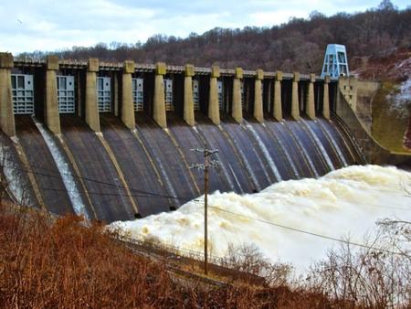
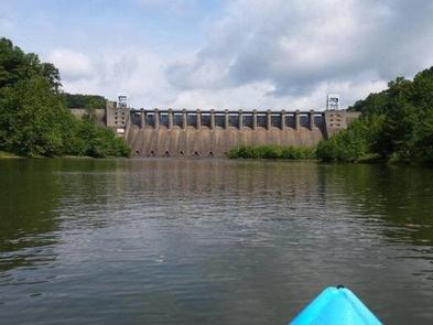
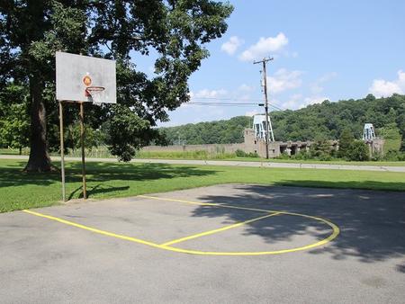
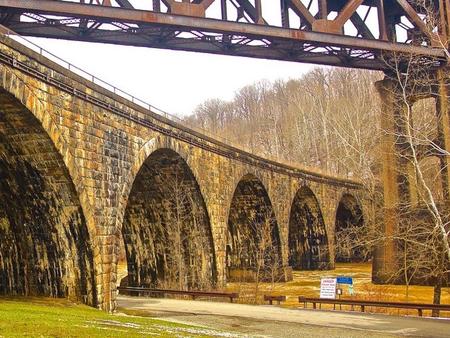
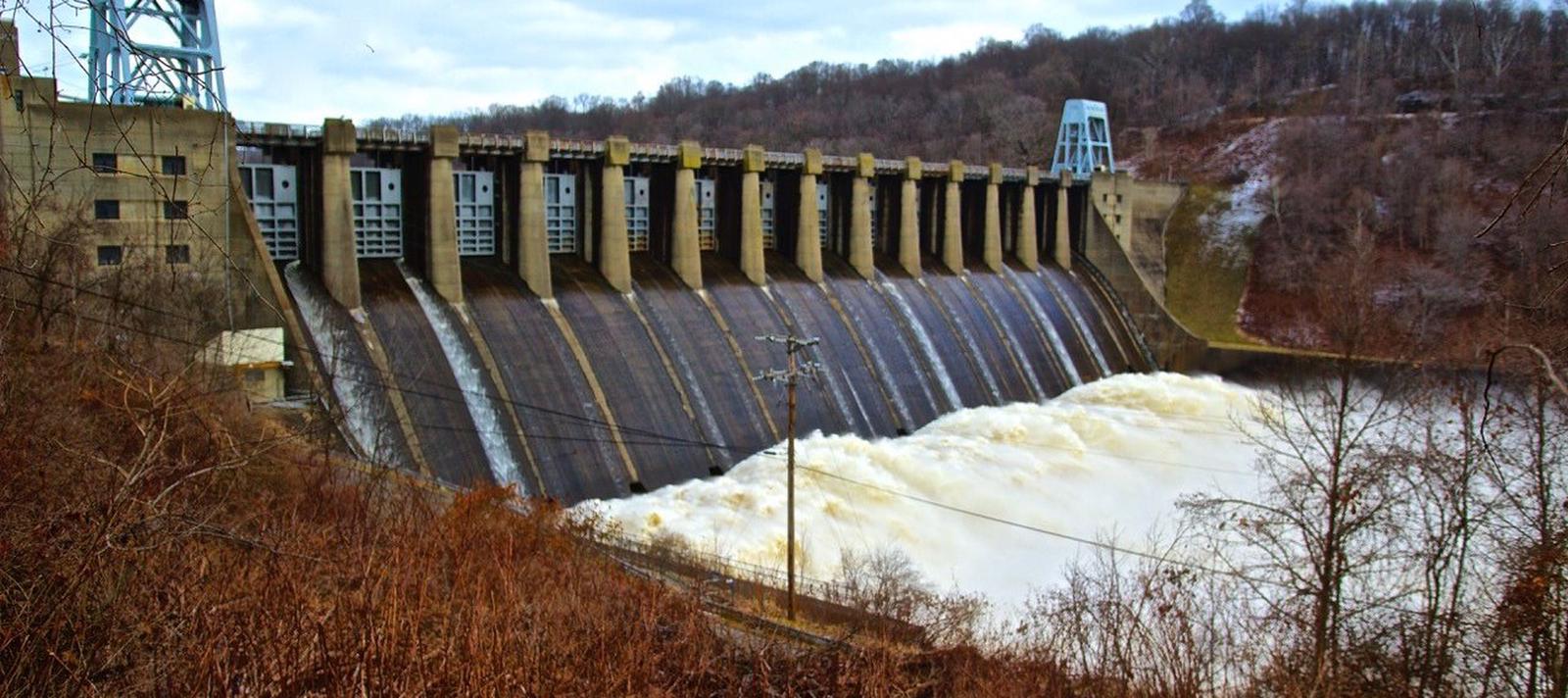
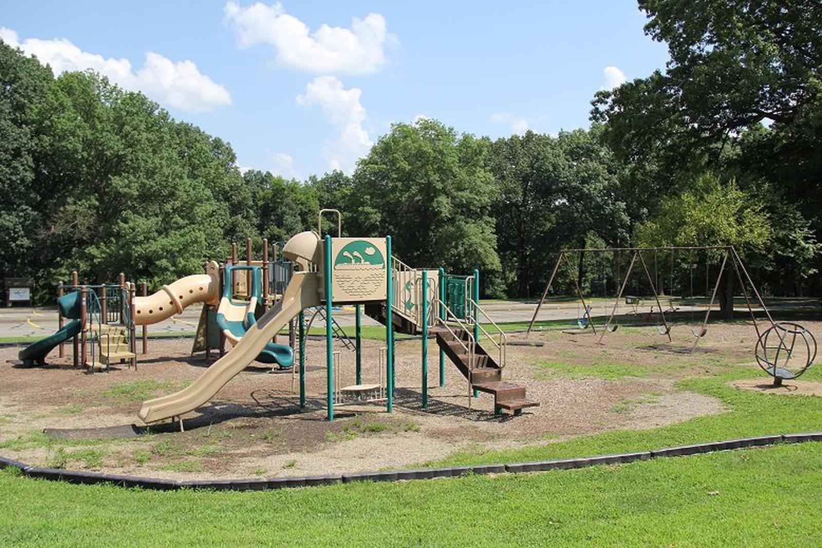
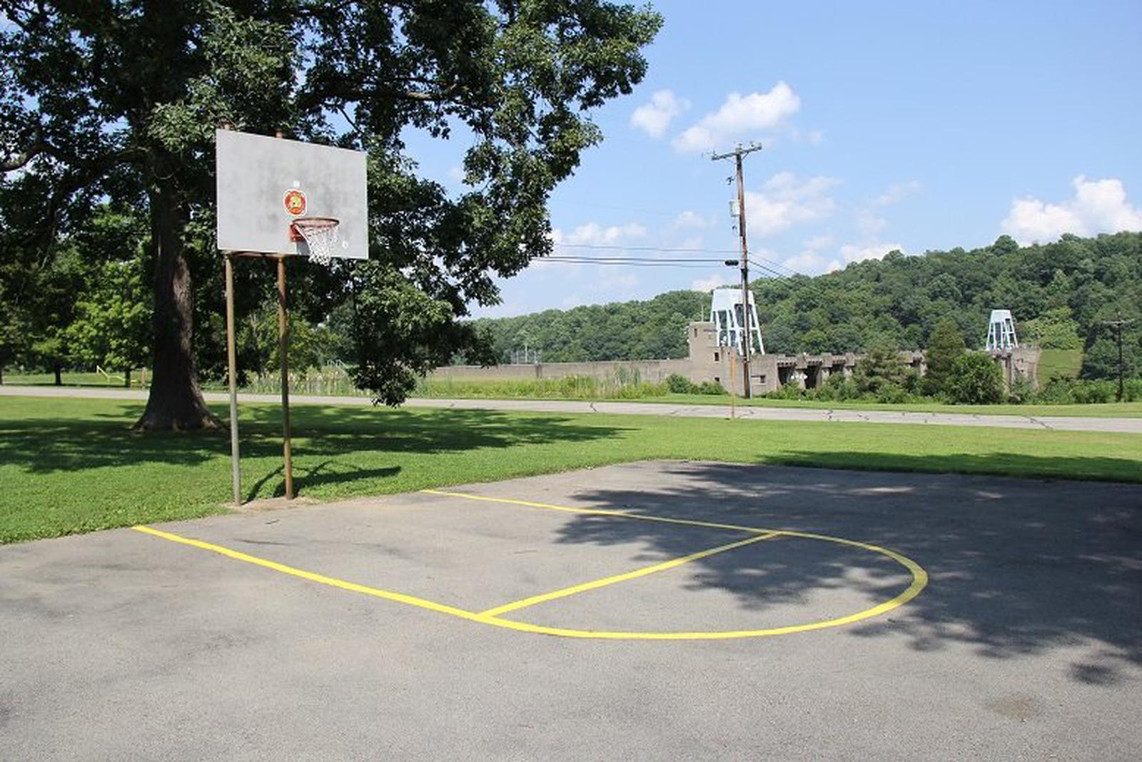
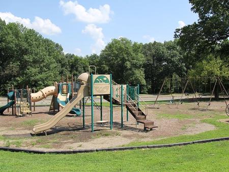
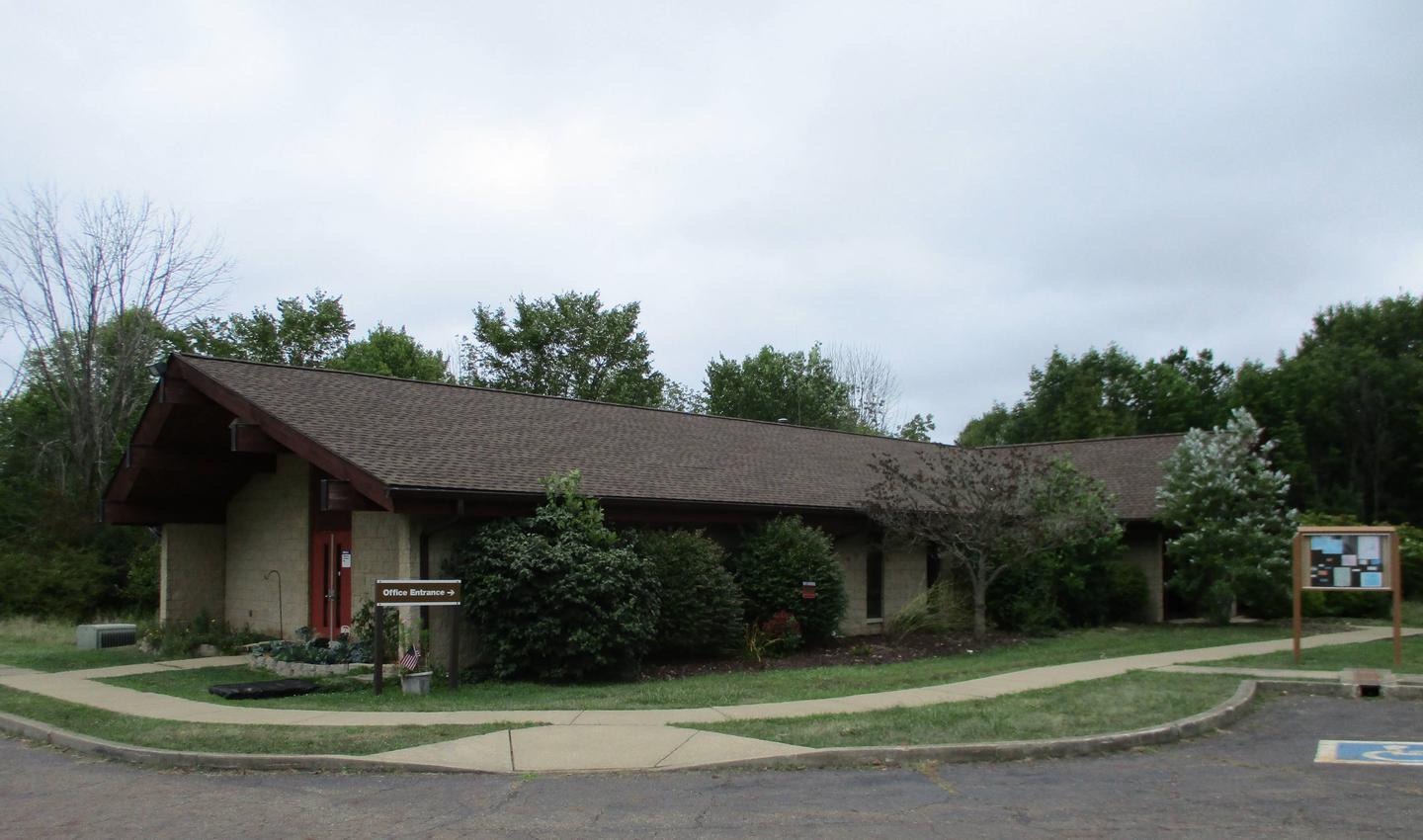
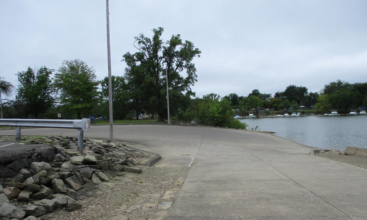
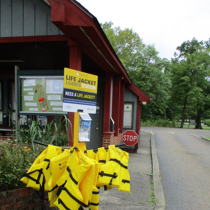
Visitors will find picnic pavilions, a playground, volleyball court, a basketball court, horseshoe pits, nature trails, an outdoor fitness center and an information center all within the day use area. While in the day use area, take some time to study Conemaugh Dam from multiple overlooks. Fishing access is just a short walk down Fisherman’s Trail. A short drive (1/4 mile) from the pavilions is the Tunnelview Historic Site and a canoe launch that leads to Conemaugh River. Power boating is prohibited on Conemaugh Lake. However, electric motor boats can access the lake via the carry-in launch at Aultman’s Run or the accessible launching area on Bow Ridge. Permits for the accessible boat launch on Bow Ridge may be obtained at the park office.
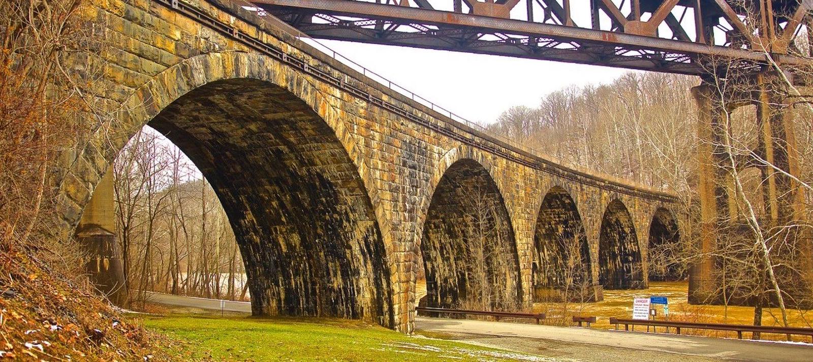
Wildlife viewing and birding are popular activities. Hunting is also permitted in designated areas only. The Pennsylvania Game Commission leases 6,756 acres of land around the lake for wildlife management and hunting. Tunnelview Historic Site, directly downstream of the dam, provides a self-guided historic walk along a section of the restored Main Line Canal that once connected Philadelphia to Pittsburgh (1834-1854). The trail is maintained by the Indiana County Parks Department.
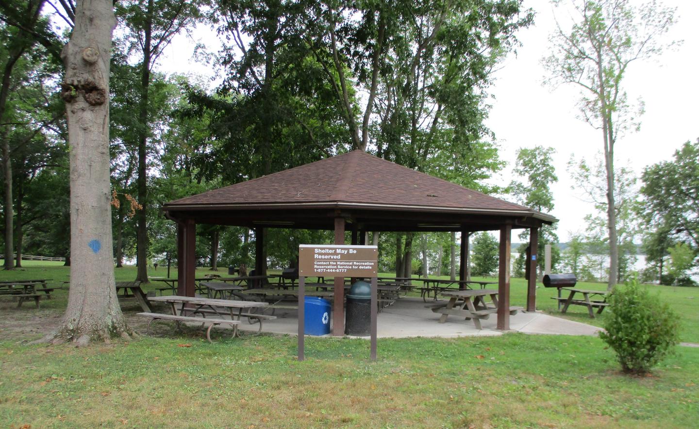
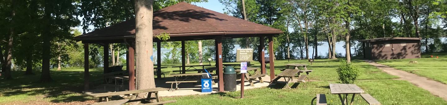
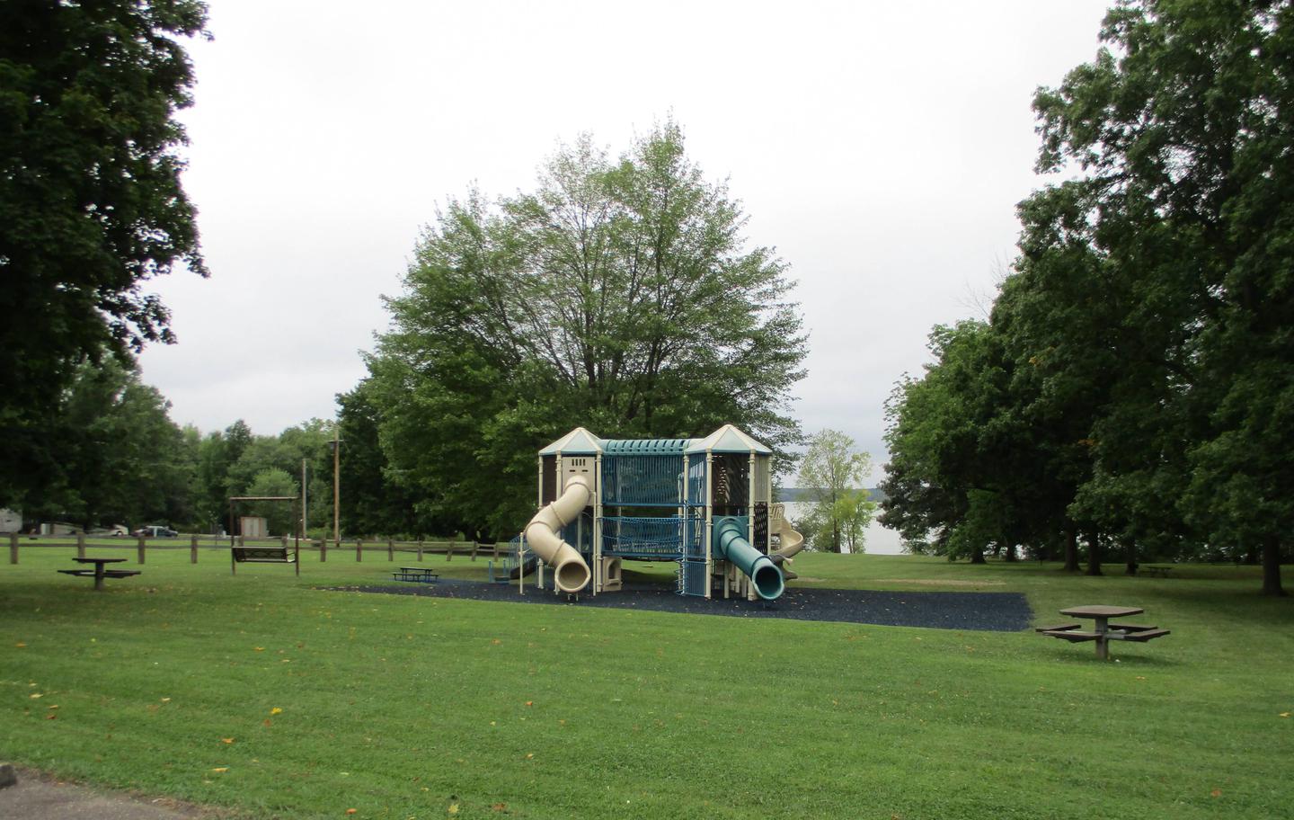
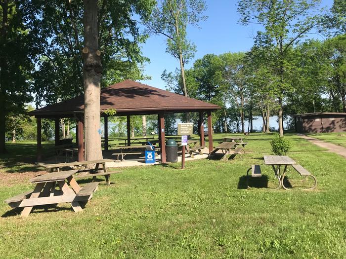
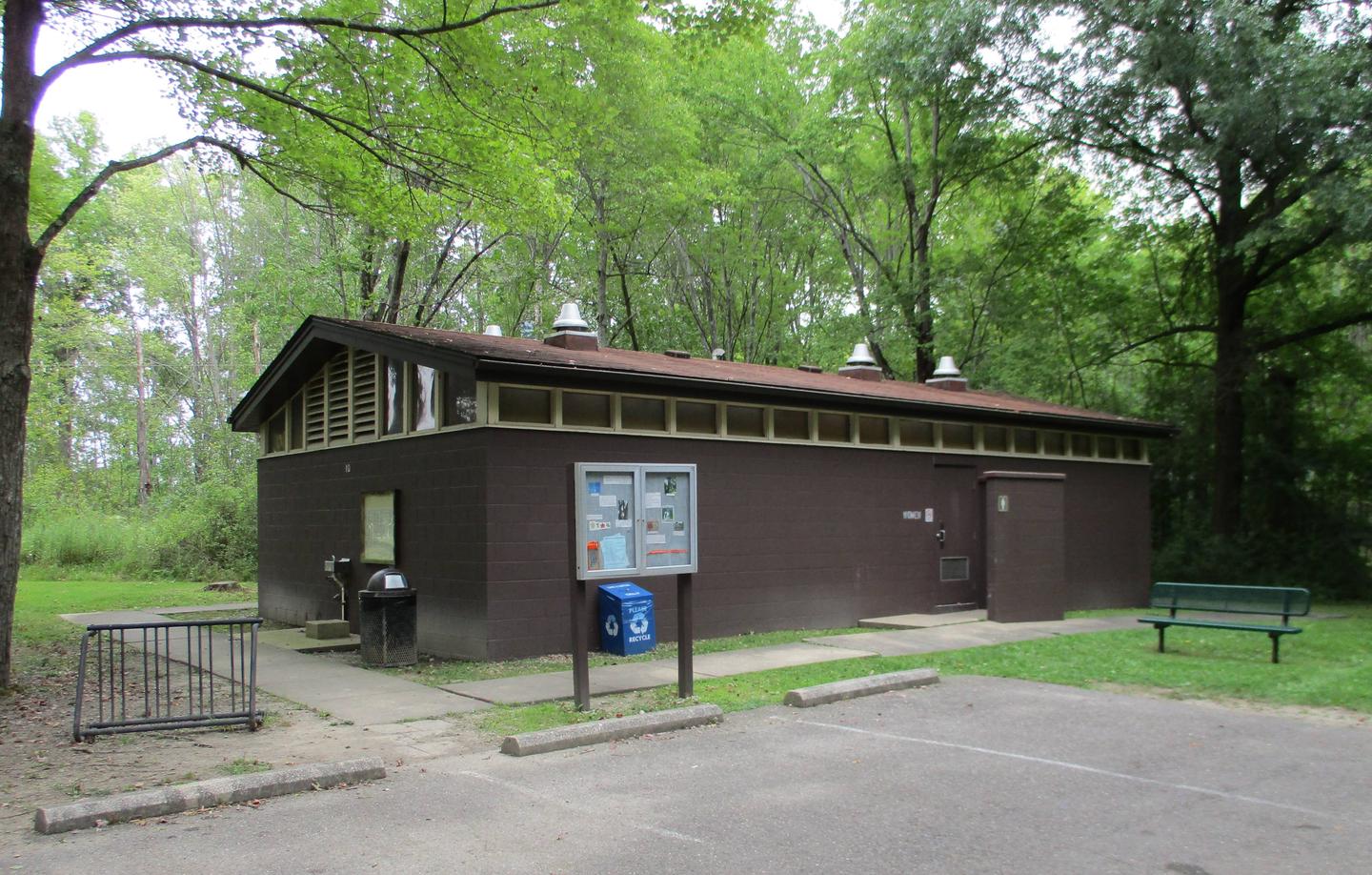
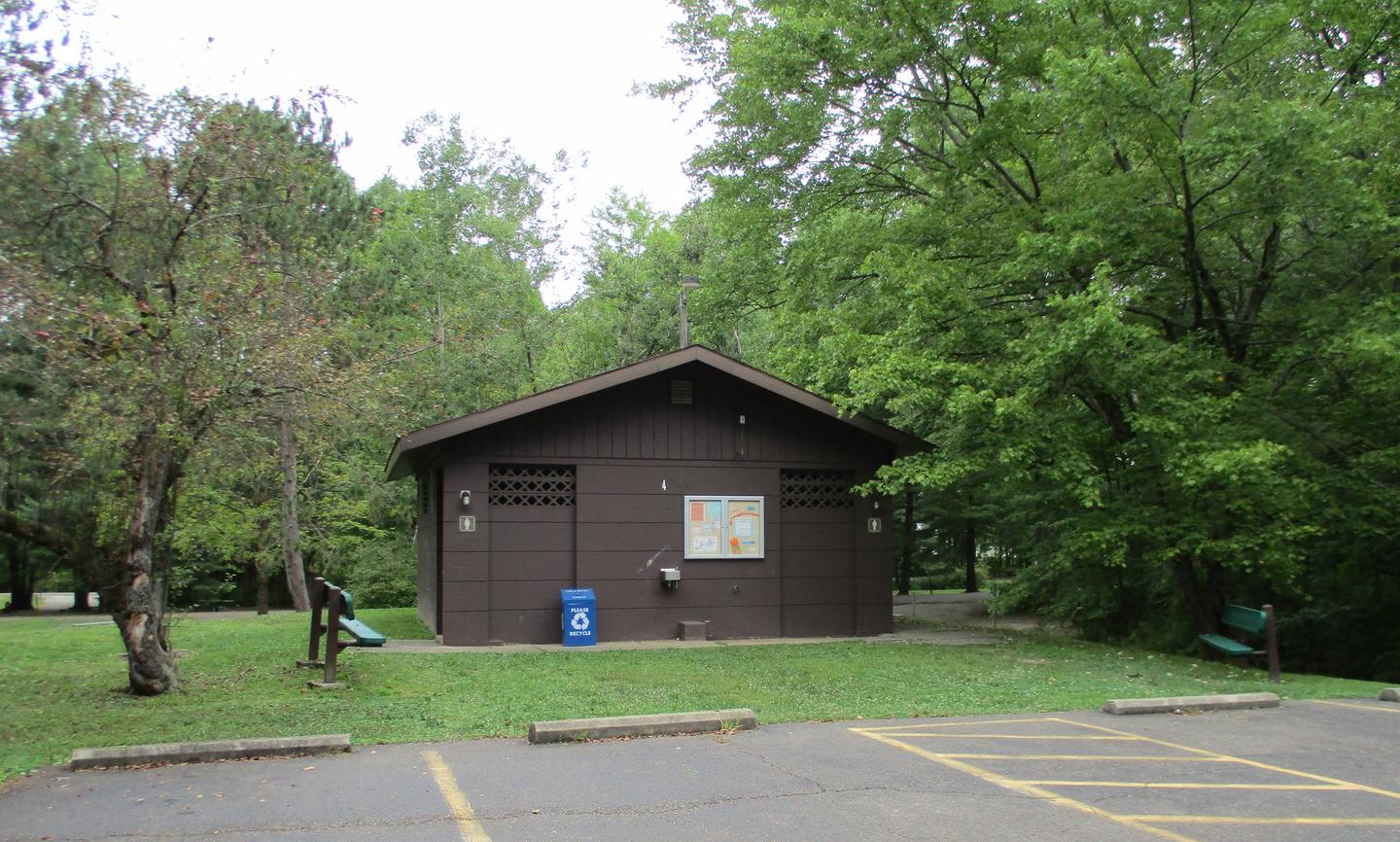
The Day Use Area of Conemaugh River Lake is spread out across a large, flat area making it great for any type of gathering. There are two pavilions on site that are available for rental. Each pavilion is equipped with electrical outlets, lights, single and double charcoal grills and access to a water spigot. There are seven picnic tables within the pavilion and are surrounded by at least seven additional tables. Both pavilions are accessible and are within a short walking distance from a restroom with flush toilets. Livermore pavilion is closest to the playground and Social Hall is closest to the restroom. There is an extensive playground area that is suitable for all ages and an outdoor fitness center for those over the age of 13.
Lake fishermen have an excellent prospect of landing largemouth bass, pan fish or the occasional musky or northern pike. The outflow below the dam has a variety of fish populations including walleye, perch, several bass species, trout, carp, catfish and a selection of pan fish. Whether you’re baitcasting, fly fishing or spinning your chances of getting a bite here are good.
Adjacent to the dam, the Bow Ridge Recreation Area offers trails excellent for hiking and observing nature. The Woodchuck Nature Trail provides a 45-minute walk through the diverse Western Pennsylvania forest where one can observe native plants species or just take a peaceful walk.
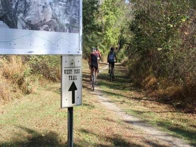
The West Penn Trail is a 14 mile riverside trail that offers great hiking and biking opportunities. The trail runs straight through the park. Kiski-Conemaugh River Trail is a good novice and family canoe or kayak river with numerous access points. There is one located just below Conemaugh’s Day Use area. It is a seven mile float from Conemaugh Dam to Saltsburg. Also, the Bush Recreation Campground is six miles away.
From Pittsburgh (west), take I-376 E keep left and continue onto US-22 E (27 miles). Make a left at PA-981 N located in New Alexandria, PA near the Sheetz gas station (5 miles). Turn right onto Tunnelton Road/SR 3003 (3 miles). Turn right onto Auen Road (1 mile). The entrance is on the right.
From Blairsville (east), take Route 217 North to Newport Road. Turn left onto Newport Road. Travel 4 miles and turn left onto Clarksburg Road. Follow Clarksburg Road 2.8 miles to Y in road and bear left. Turn left onto Quick Road. Go 1/2 mile on Quick Road and turn left onto Auen Road. Follow Auen Road for 1.6 miles. The entrance is on your left.
From Indiana (north), take Route 286 W out of Indiana (10 miles). Turn left onto Saltsburg Road (SR 3002). Travel 5.6 miles and make a left onto Tunnelton Road (SR 3003). Follow Tunnelton Road for 2.3 miles and make a left onto Auen Road. Travel 1 mile and the entrance to Conemaugh is on the right.
From Latrobe (south), take Route 981 N thru New Alexandria (9.4 miles). At the intersection make a left to stay on 981 N. Travel 2 miles and turn right onto Tunnelton Road (SR 3003). Follow Tunnelton Road for 3 miles and turn right onto Auen Road (1 mile). The entrance is on the right.
Latitude 40° 27′ 58.0100″ N
Longitude 79° 22′ 9.2899″ W
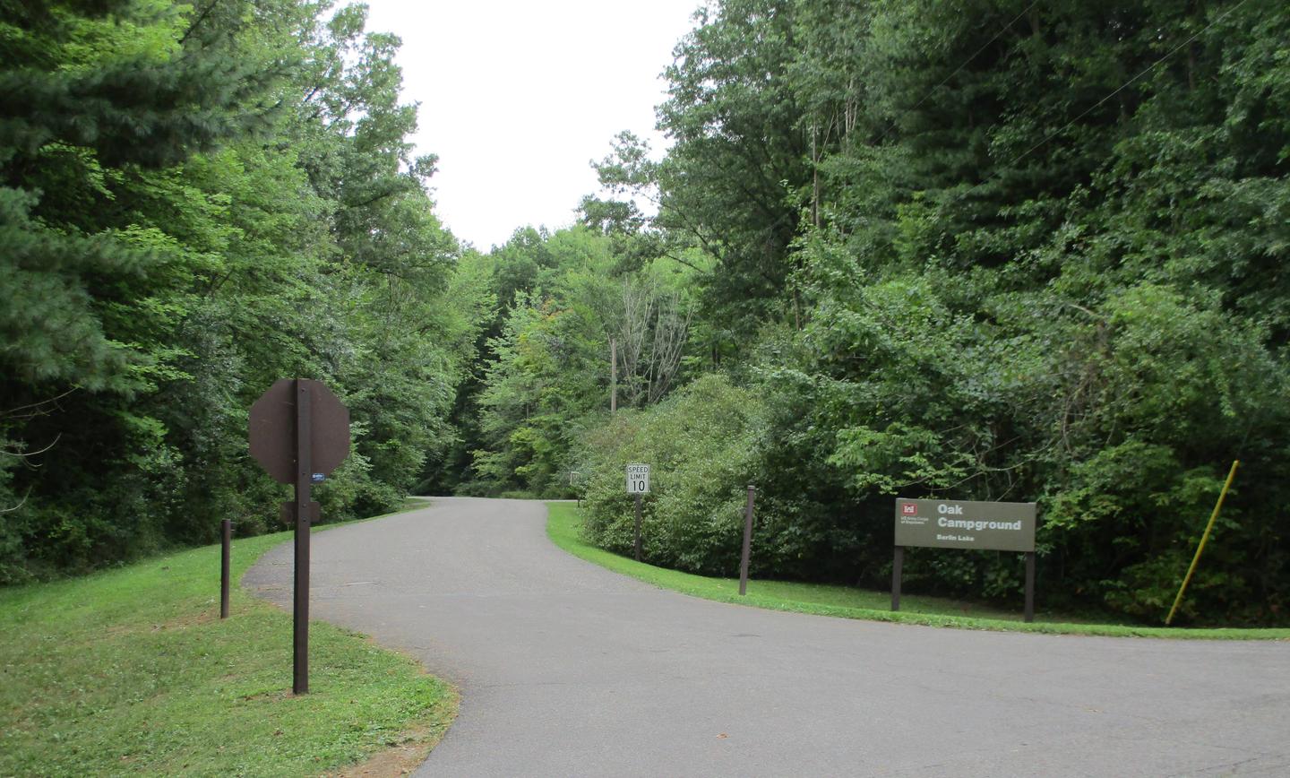
Mill Creek Day-Use Park is located on Berlin Lake in northeastern Ohio, where visitors enjoy boating, fishing, hunting, picnicking and camping. The Day Use Area is open year round on a first come first serve basis, except during the recreation season when the picnic shelter can be reserved.
A variety of recreational opportunities are available in the day-use area, the adjacent campground and nearby wildlife areas.
The lake is a popular location for boating, swimming and fishing. Berlin Lake is renowned for its excellent walleye fishing. It is one of the few area lakes where natural reproduction of the species occurs. Anglers will also find largemouth and smallmouth bass, muskie, crappie and bluegill.
The Ohio Department of Natural Resources manages over 6,800 acres of project lands for public hunting and wildlife management purposes. Small game species are found in abundance and hunting areas can be easily accessed nearby.
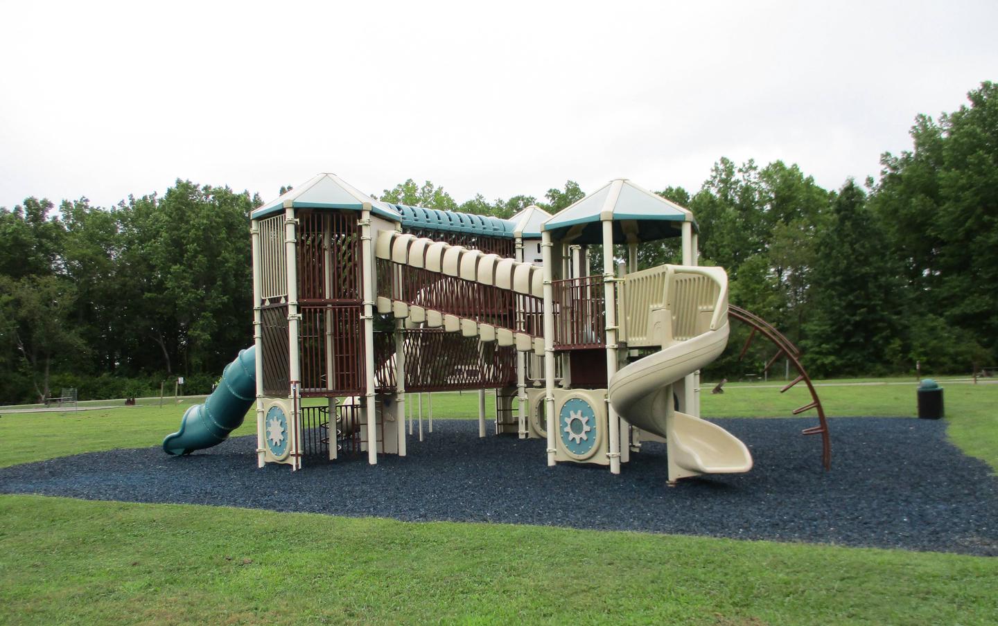
This day-use area offers one group picnic shelter that can accommodate up to 64 people. Flush toilets and drinking water are provided. A children’s playground is located on-site. Overnight camping is available at adjacent Mill Creek Campground.
Berlin Lake is situated on the Mahoning River, where it covers 3,590 acres and offers 70 miles of shoreline. The banks of the lake are gently to moderately sloped, allowing for easy access. Beech and maple trees cover the area, offering shade and beautiful fall color.
A variety of wildlife makes its home around the lake. Visitors delight in viewing nesting ospreys. Bald eagles can occasionally be seen in the area as well.
Noah’s Lost Ark Animal Sanctuary is just one mile south. The sanctuary is home to a large variety of big and small cats, including lions, tigers, cougars, leopards, bobcats and lynx.
Wolves, coyotes, fox, bears, camels, zebras and primates also live in Noah’s Lost Ark. Children love the sanctuary’s petting zoo and educational tours.
Take Exit 54 off I-76 and head south 5.5. miles on State Route 534 to U.S. Route 224 in Berlin Center. Take U.S. Route 224 west about 2 miles to Bedell Road. Go south on Bedell Road about 3/4 of a mile to Mill Creek Day Use Area.
Latitude 41° 0′ 36.0000″ N
Longitude 80° 59′ 46.0000″ W
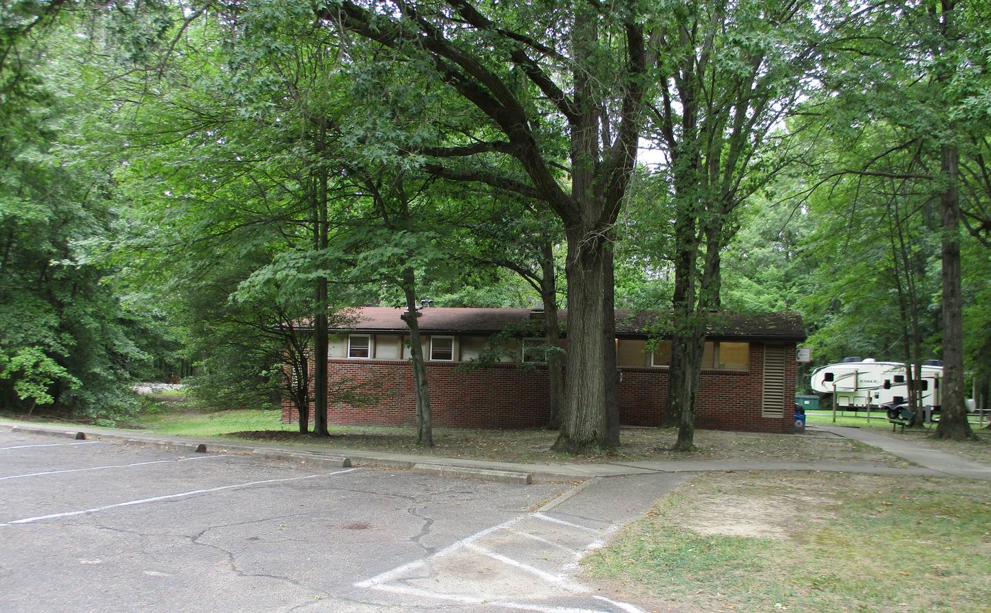
Mill Creek Recreation Area is an ideal family campground located on Berlin Lake in northeastern Ohio. Visitors enjoy boating, fishing, hunting, picnicking and camping.
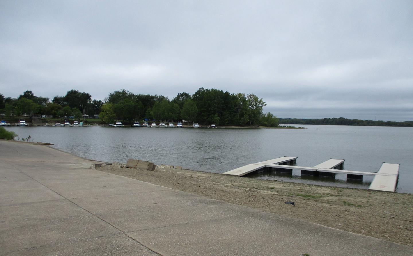
The lake is a popular location for boating, swimming, and fishing. Berlin Lake is renowned for its excellent walleye fishing. It is one of the few area lakes where natural reproduction of the species occurs. Anglers will also find largemouth and smallmouth bass, muskie, crappie and bluegill.
The Ohio Department of Natural Resources manages over 6,800 acres of project lands for public hunting and wildlife management purposes. Small game species are found in abundance and hunting areas can be easily accessed.
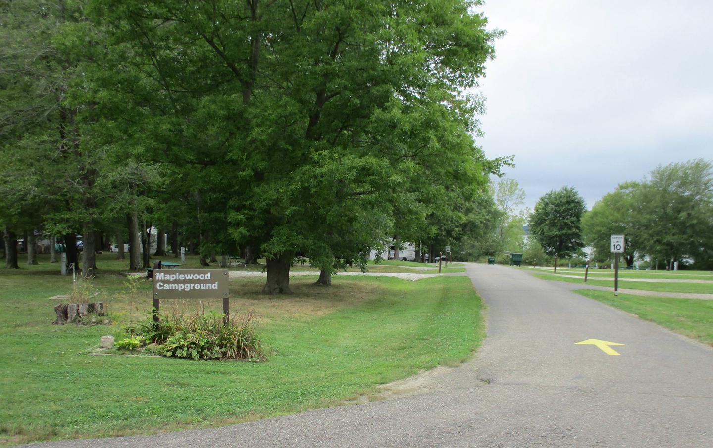
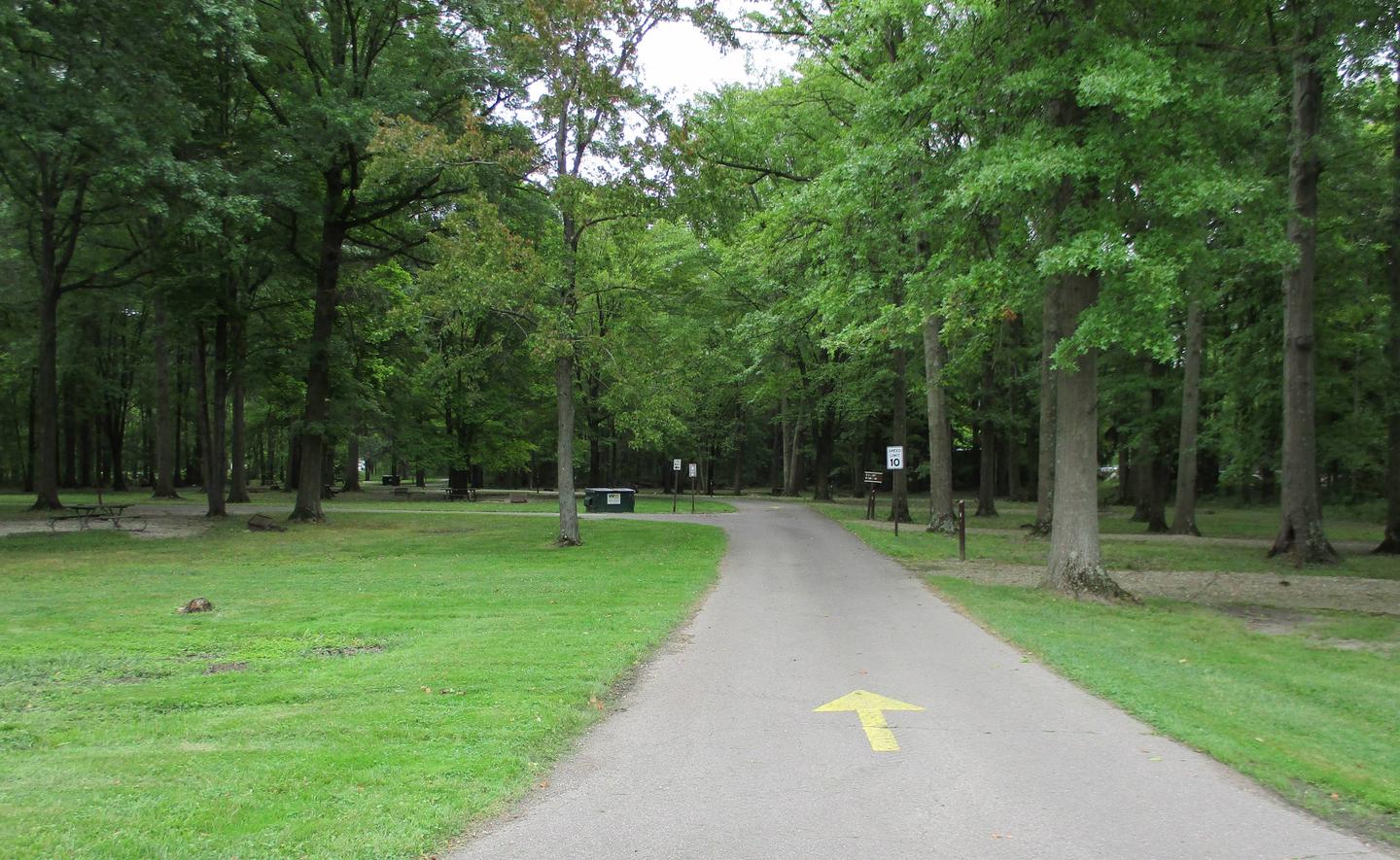
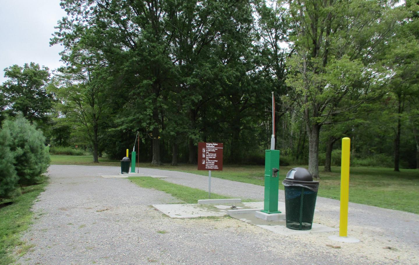
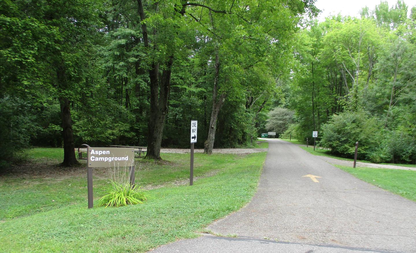
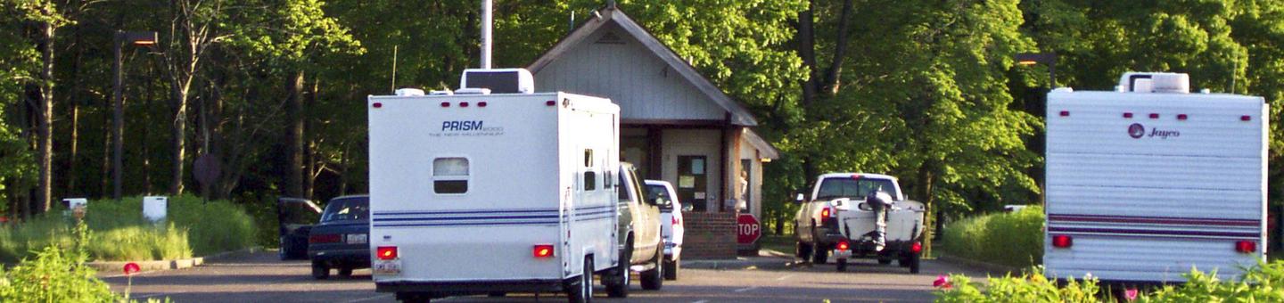
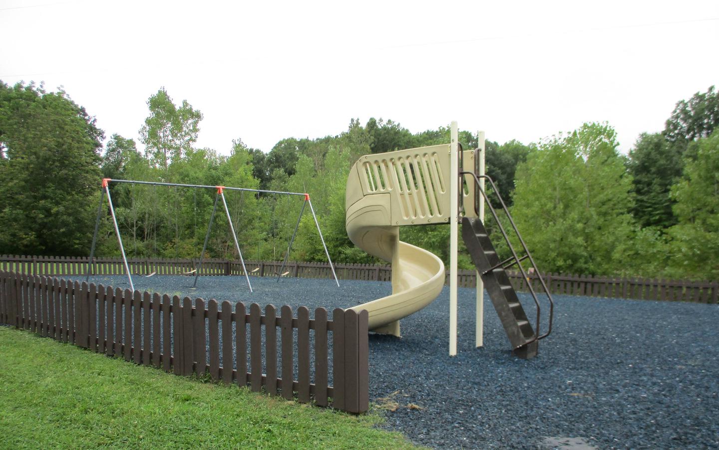
Mill Creek Campground offers 295 sites ranging from wooded water sites to grassy sites in the sun. Over 100 sites have electric hookups. Other amenities include a dump station, showers, flush restrooms, a boat ramp, playgrounds, and a volleyball court.
Berlin Lake is situated on the Mahoning River, where it covers 3,590 acres and offers 70 miles of shoreline. The banks of the lake are gently to moderately sloped, allowing for easy access. Beech and maple trees cover the area, offering shade and beautiful fall color.
A variety of wildlife makes its home around the lake. Visitors delight in viewing nesting ospreys. Bald eagles can occasionally be seen in the area as well.
Noah’s Lost Ark Animal Sanctuary is just one mile south. The sanctuary is home to a large variety of big and small cats, including lions, tigers, cougars, leopards, bobcats and lynx.
Wolves, coyotes, fox, bears, camels, zebras and primates also live in Noah’s Lost Ark. Children love the sanctuary’s petting zoo and educational tours.

From I-76, take Exit 54 and go south 5.5 miles on State Route 534 to U.S. Route 224 in Berlin Center. Turn right (west) onto U.S. Route 224 and go about 2 miles to Bedell Road. Turn left (south) on Bedell Road and go about 3/4 of a mile to the campground.
Latitude 41° 0′ 24.9998″ N
Longitude 80° 59′ 53.0002″ W
This recreation area is part of Lake Cumberland
Latitude 36° 52′ 20.0806″ N
Longitude 85° 8′ 42.9475″ W
This recreation area is part of Lake Cumberland
Latitude 36° 56′ 34.4688″ N
Longitude 84° 56′ 36.7224″ W
This recreation area is part of Lake Cumberland
Latitude 37° 2′ 52.4242″ N
Longitude 84° 40′ 25.7195″ W
This recreation area is part of Lake Cumberland
Latitude 36° 57′ 13.2408″ N
Longitude 84° 49′ 23.7504″ W
This recreation area is part of Lake Cumberland
Latitude 37° 3′ 58.1392″ N
Longitude 84° 42′ 11.0080″ W
This recreation area is part of Lake Cumberland
Latitude 36° 56′ 11.7511″ N
Longitude 85° 2′ 42.8758″ W