Overview
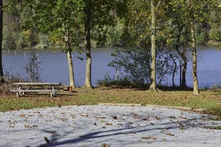
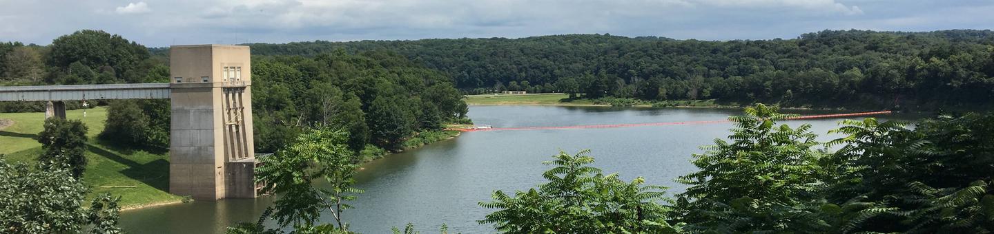
Loyalhanna Lake is located in the Laurel Highlands. This location provides picturesque views of the lake as well as opportunities for bird watching, boating, fishing, hunting and paddle sports.
Recreation
The Bush Recreation Area offers boating with unlimited horse power. Visitors to the area can kayak or canoe the lake as well, and take advantage of kayak rentals located in the Bush Recreation Area.
The Loyalhanna Lake area offers great fishing opportunities, with multiple bass tournaments each year. This lake also has some of the best channel catfishing in Pennsylvania, with multiple fish stockings each year. If you like fishing from shore there are plenty of opportunities to fish both moving and still waters.
Those that like to go bike riding can find the West Penn Trail located at our sister project just 10 minutes away.
Facilities
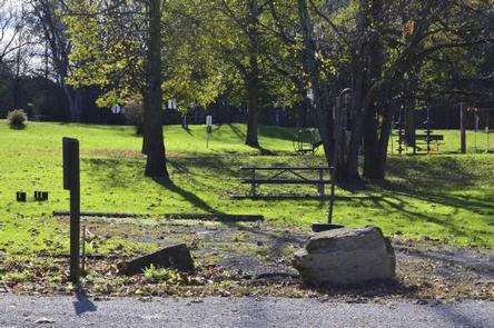
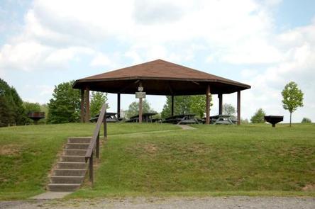
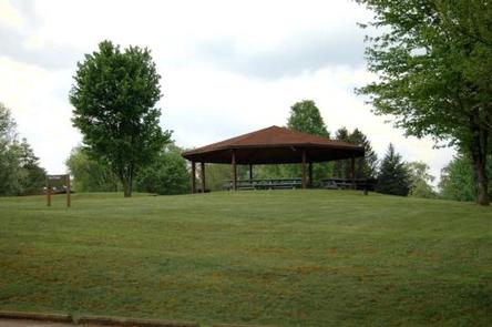
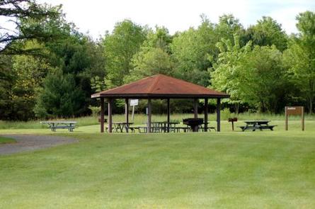
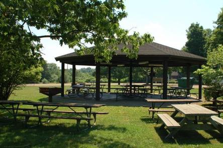
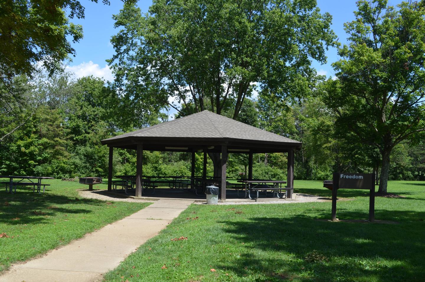
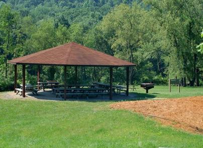
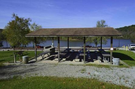
The pavilions are provided with electric sources and large charcoal grills for cookouts.
Patrons of the pavilions will have access to flushing toilets and drinking water.
Natural Features
The pavilions are located in a beautiful valley overlooking Loyalhanna Lake. Among terrain characterized by its diversity, visitors will discover rolling foothills of the Laurel Highlands, from which the headwaters of the Loyalhanna Creek flow.
Nearby Attractions
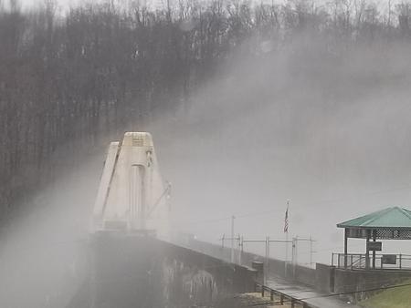
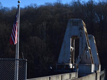
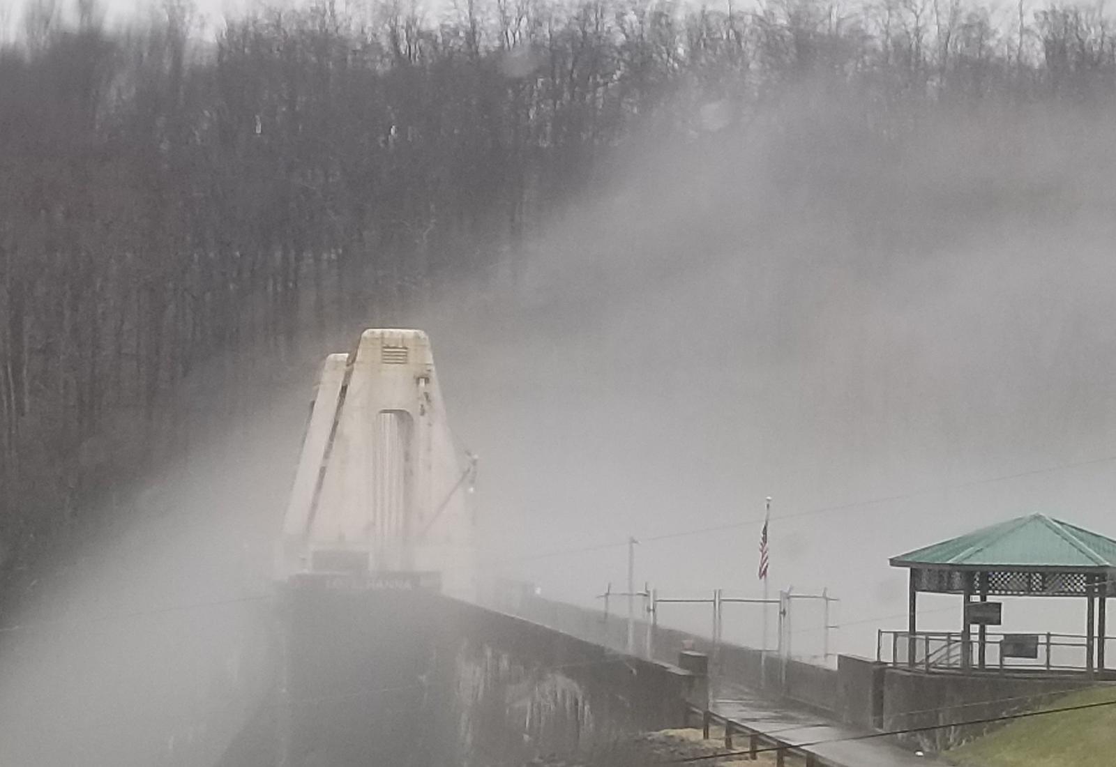
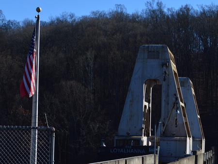
The West Penn Trail offers excellent hiking and biking opportunities within a short 10 minute drive. Additionally the site of Loyalhanna dam provides interpretive displays of the dam as well as a great scenic view.
Nearby Activities
- Camping
- Fishing
- Wildlife viewing
Gallery


Directions
From Pittsburgh, take I-376 E (12.1 miles), keep left and continue onto US-22 E. Make a left at PA-981 N located in New Alexandria, PA, near the Sheets gas station. Make a left onto Bush Road, passing Mannitto Golf Course; make another left into the Bush Recreation Area.
440 Loyalhanna Dam Road
Saltsburgh, PA 15681
GPS Coordinates
Latitude 40° 26′ 49.1600″ N
Longitude 78° 26′ 40.3400″ W