Categories
Uncategorized

Black Bear Management Program

California Department of Fish and Game – Black Bear Management Program

Black bears (Ursus americanus) are recognized as an important component of California's ecosystems and as a valuable resource for the people of California. The black bear has been classified as a game mammal since 1948. Since that time, hunting regulations have become more restrictive, prohibiting trapping, killing of cubs or sows with cubs, and reducing the bag limit from two to one bear per license year. Before the early 1980's, regulation changes were infrequent. However, in 1982, the Department began recommending regulatory and legislative changes to reduce poaching and increase the Department's ability to monitor bear populations.

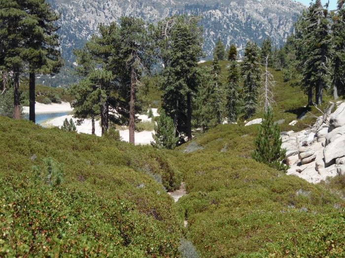
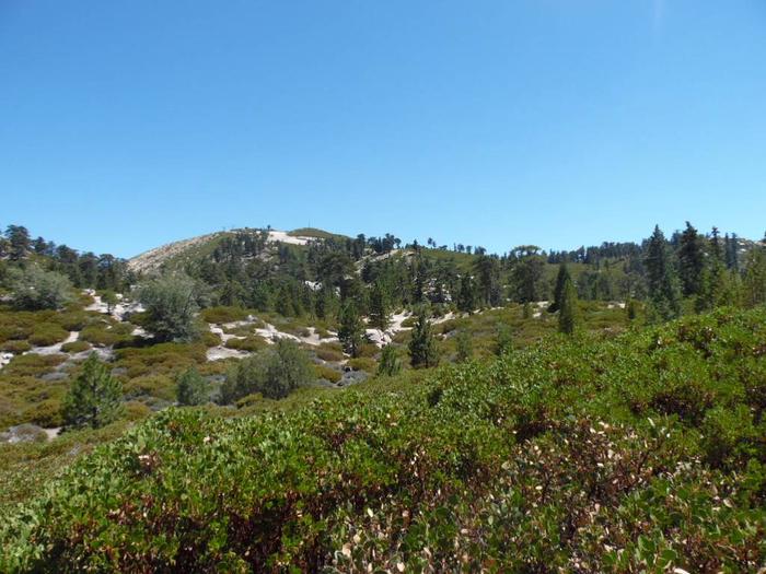
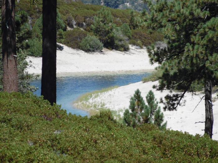
Data indicates that California's bear population has increased in recent years. Black bears are being observed in areas where they were not seen 50 years ago along the Central Coast and Transverse mountain ranges of Southern California. Between 25,000 and 30,000 black bears are now estimated to occupy 52,000 square miles in California.

Section 1801 of the Fish and Game Code establishes state policy regarding wildlife resources. The ultimate goal of this policy is to maintain sufficient wildlife populations (including black bear) to accomplish the following goals:

    to provide for the beneficial use and enjoyment of wildlife by all citizens of the state;

    to perpetuate all species for their intrinsic and ecological values;

    to provide for aesthetic, educational, and nonappropriative uses;

    to maintain diversified recreational uses of wildlife including sport hunting;

    to provide for economic contributions to the citizens of the state through the recognition that wildlife is a renewable resource, and;

    to alleviate economic losses or public health and safety problems caused by wildlife.

The primary goal of the Department's black bear management program is to maintain a viable and healthy black bear population. Biologists at the Department of Fish and Game closely monitor the state's black bear population by collecting teeth from hunter killed bears. The rings in the teeth are counted to determine the age of the bear. Because over-exploited populations are younger than populations with low mortality rates, monitoring the median age in a population gives biologists the information necessary to maintain healthy numbers within a population. Biologists also monitor the number of depredation permits to determine the relative abundance of bears where they encounter people. This is all coordinated on a statewide level through the Department's Bear Management Program.

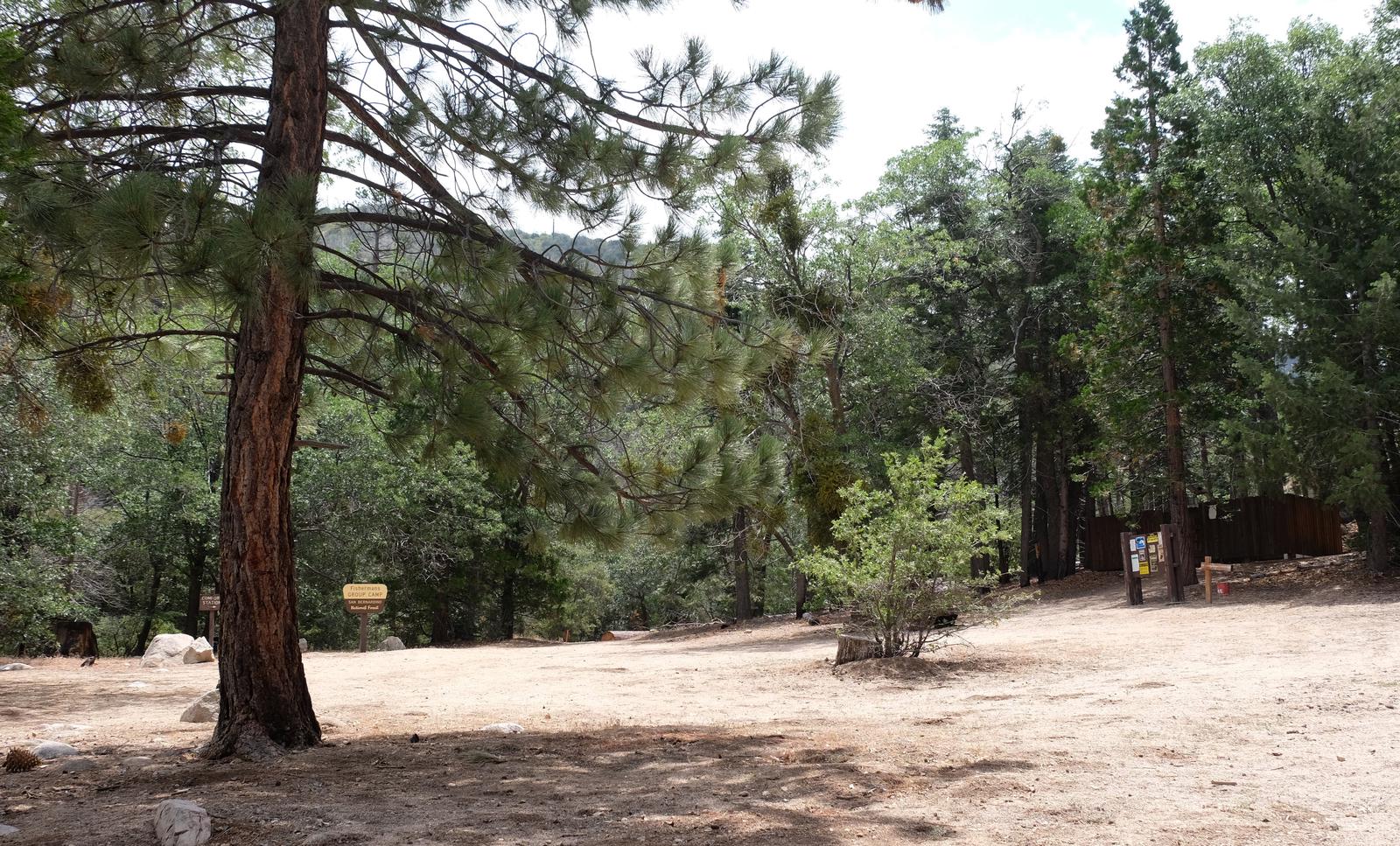
Southern California Black Bear Hunting Area

In the counties of Los Angeles, Santa Barbara and Ventura; that portion of Riverside County north of Interstate 10 and west of Highway 62; and that portion of San Bernardino County south and west of the following line: Beginning at the intersection of Highway 18 and the Los Angeles-San Bernardino county line; east along Highway 18 to Highway 247; southeast on Highway 247 to Highway 62; southwest along Highway 62 to the Riverside-San Bernardino county line.

For More Information

Current California Department of Fish and Game Black Bear Regulations

Black Bear Management and Harvest
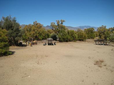
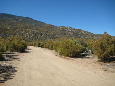
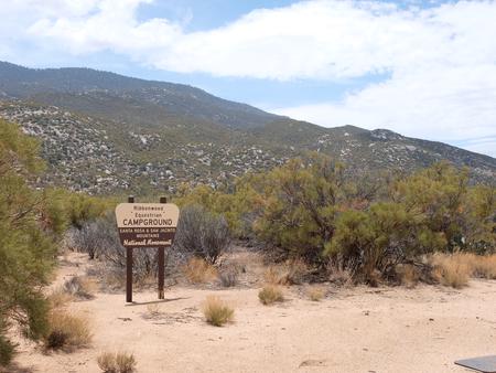
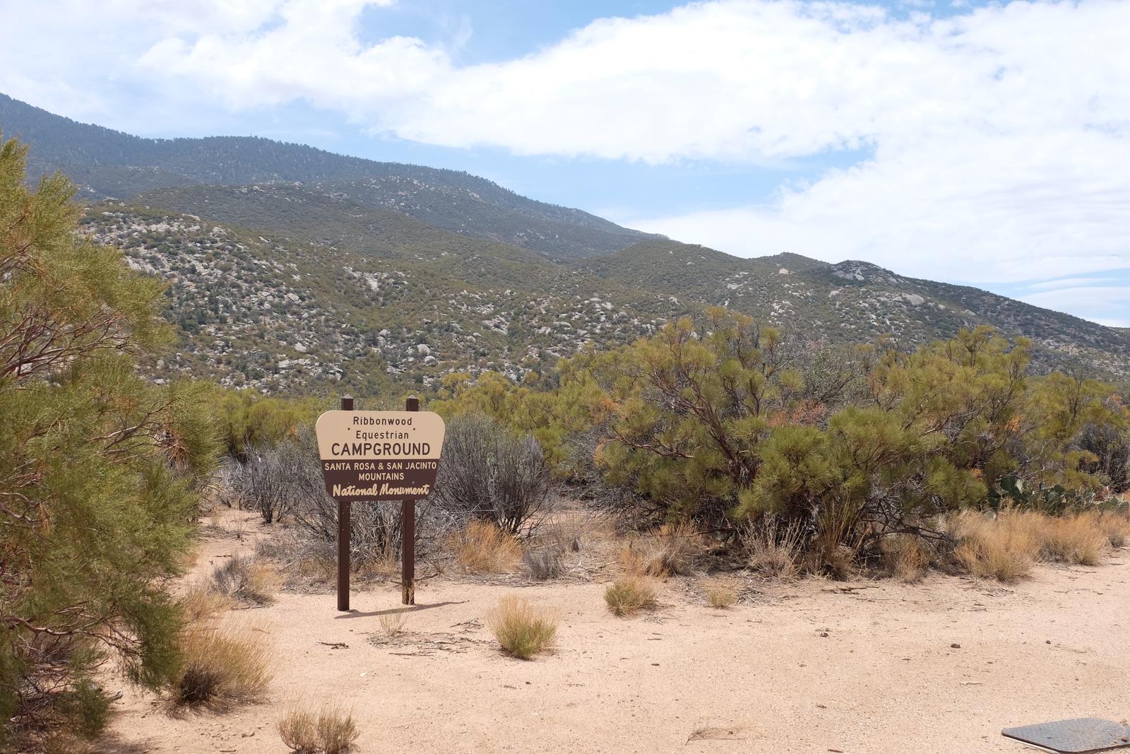
Directions

GPS Coordinates

Latitude 0° 0′ 0.0000″ S

Longitude 0° 0′ 0.0000″ W

Categories
Uncategorized

Rim of the World Scenic Byway

This 110-mile route traverses the rim of the San Bernardino Mountains from Cajon Pass to San Gorgonio Pass. The Rim of the World Scenic Byway travels through some of the most naturally beautiful areas left in Southern California. Spectacular vistas and panoramas exist everywhere along the route. Encompasses portions of Hwy 38, 18, and 138.  Call the Big Bear Discovery Center for more information (909) 382-2790 (closed Tues/Wed).

Directions

GPS Coordinates

Latitude 0° 0′ 0.0000″ S

Longitude 0° 0′ 0.0000″ W

Categories
Uncategorized

RIBBONWOOD EQUESTRIAN CG

Overview

Ribbonwood is an ideal mountain escape for equestrian campers. The campground overlooks Palm Desert and the Salton Sea in southern California and provides visitors with access to hundreds of miles of terrain for exploration and enjoyment.

Recreation

Horseback riding and mountain biking are popular activities. The 5.3-mile Sawmill Trail begins within the campground and traverses an old road with 2,220 feet of elevation gain. It also intersects with the Cactus Spring Trail near the campground’s parking area.

Bountiful botanical species exist along the trail, providing scenic views for travelers.

Facilities

The campground offers less than a dozen large, single-family campsites for both tent or RV camping. Each is equipped with tables and campfire rings with grills. Accessible flush toilets, showers and drinking water are provided, and campsites each have access to two horse corrals and hitching racks.

Natural Features

The campground is located approximately 16 miles southeast of Palm Desert, California, at an elevation of about 4,000 feet. It is nestled in a chaparral brush, high desert environment of cactus, pinyon pine and yucca plants. Roads and spurs are gravel.

Nearby Activities

  • Camping
  • Fishing
  • Horseback riding
  • Horse camping
  • Mountain biking

Gallery

Directions

From Palm Desert, California, take the Palms to Pines Highway/Highway 74 south for approximately 16 miles to the community of Pinyon. Turn left onto South Pinyon Drive and the entrance to the campground is on the right.

GPS Coordinates

Latitude 33° 34′ 34.0000″ N

Longitude 116° 27′ 16.9999″ W

Categories
Uncategorized

TENT PEG GROUP

Overview

Tent Peg Group Campground offers a semi-primitive location for an extended family or large group outing. The area provides easy access to many off-road vehicle trails. A variety of other recreational opportunities can be found in the vicinity.

Recreation

The area is an off-road vehicle paradise, with trails for both beginning and experienced riders. Trails include Crab Creek, which crosses Deep Creek, and the 9.7-mile Redonda Ridge Trail, east of the campground. The 26-mile Holcomb Valley Road begins west of the campground. The Crab Flat Loop Route is also west of the campground.

A variety of hiking trails are in close proximity to the campground, including the 4.5-mile Hawes Peak Trail, which meanders through the forest, providing exceptional scenery. The Crab Creek Trail also begins nearby, west of Crab Flats Campground, and leads to Fisherman’s Group Campground. The surrounding hiking areas are also popular for snowshoeing and cross country skiing in the winter.

Green Valley Lake is approximately six miles away and offers boating, fishing and swimming opportunities. The 9-acre lake is regularly stocked with a variety of fish.

Facilities

The campground offers one large group site for tent and RV camping. It can accommodate up to 40 people and eight vehicles and is accessed by a dirt road. Parking surfaces are gravel.

The campsite is equipped with multiple tables, a campfire circle and grills. Vault toilets are provided, but drinking water is not available.

Natural Features

The campground is in the mountains of Southern California, centered between Lake Arrowhead and Big Bear Lake. It is situated in a mature forest of pine, oak and cedar trees, which provide ample shade. A variety of birds and wildlife make their home in the area.

Nearby Attractions

The closest towns are Lake Arrowhead and Running Springs. Green Valley Lake is approximately six miles away.

Nearby Activities

  • Biking
  • Boating
  • Camping
  • Fishing
  • Hiking
  • Winter sports
  • Wildlife viewing
  • Swimming site

Directions

Take Highway 38 through Running Springs and Arrowbear to Green Valley Road. Stay on the road and continue approximately 2 miles, past Crab Flats Campground.

GPS Coordinates

Latitude 34° 15′ 55.0001″ N

Longitude 117° 4′ 59.9999″ W

Categories
Uncategorized

FISHERMANS GROUP

Overview

Fisherman’s Group Campground is a semi-primitive campground reached by a 2.5-mile hike into the mountains of southern California. The dirt road and walk to the sites are well worth the effort once you reach the campground, which is nestled in a scenic forest on the banks of Deep Creek.

Recreation

Visitors enjoy access to some great birding and wildlife viewing. Other activities include hiking, horseback riding, hunting and mountain stream fishing. A variety of trailheads can be accessed near the campground.

Facilities

The campground provides four walk-in sites that can accommodate up to eight people per site for tent camping. There are no hookups of any kind at the campground. Drinking water and trash collection are also not provided. Stream water must be boiled or filtered prior to drinking. A bear-proof trash container is provided at the facility, but campers must pack out what they pack in.

The campsites are equipped with tables and campfire rings with grills. A vault toilet is provided. Horses are permitted at the campground, however, there are no corrals or watering stations available.

Natural Features

The campground is situated along Deep Creek, 2.5 miles into an area forested by tall pine, oak and cedar trees at an elevation of about 7,000 feet. It is nestled in the mountains of southern California, in the San Bernardino National Forest.

Nearby Attractions

Big Bear Lake and the Big Bear Discovery Center are located about 21 miles from the campground. The center provides information on the area, a nature-themed gift shop, educational programs and restroom facilities. Trailheads are available at and near both the lake and the visitor center.

Nearby Activities

  • Camping
  • Fishing
  • Hiking
  • Horseback riding
  • Hunting
  • Wildlife viewing

Gallery

Directions

From Highway 18, turn north on Green Valley Lake Road and travel 3 miles. Turn left on Forest Route 3N16 (a dirt road) and continue for about 5 miles. Park in the designated parking area just beyond the turn to Tent Peg Group Campground and walk 2.5 miles to Fisherman’s Group Campground.

GPS Coordinates

Latitude 34° 14′ 48.1499″ N

Longitude 117° 6′ 38.9599″ W

Categories
Uncategorized

SHADY COVE GROUP CAMPGROUND

Overview

Shady Cove Group Campground is a beautiful place to camp within the Children’s National Forest. It provides access to numerous trails and a lookout tower, with a climbing area nearby. The Children’s Forest was burned in a devastating wildfire and was rebuilt with the help of area children.

Recreation

Hiking, biking and birding are popular activities. Many trails begin near the campground, including The Trail of the Phoenix. It is a short, paved interpretive trail that begins at the entrance to the Children’s National Forest, which is about three miles from the campground.

Facilities

The campground offers three group sites, one of which is accessible, for tent. Each site can accommodate up to 30 people and eight vehicles.

Each site is equipped with picnic tables, pedestal grills and a campfire circle. Accessible vault toilets and drinking water are provided.

Natural Features

The campground is easily accessible, just off a paved road, and has forested tent campsites. It is situated in the mountains of Southern California at an elevation of about 6,000 feet.

Nearby Attractions

Arrowbear Lake is about five miles from the campground, where rainbow trout are stocked annually in the spring. The lake is adjacent to the community of Running Springs, which offers a variety of dining and shopping options, as well a grocery stores and fuel stations.

Nearby Activities

  • Biking
  • Camping
  • Interpretive programs
  • Fishing
  • Hiking
  • Wildlife viewing

Gallery

Directions

From Running Springs, drive approximately one mile on Highway 18 to the Deerlick Ranger Station/Children’s National Forest Visitor Center. Turn right on Keller Peak Road and continue about five miles. Follow signs to the campground.

GPS Coordinates

Latitude 34° 12′ 29.9300″ N

Longitude 117° 2′ 48.5999″ W

Categories
Uncategorized

WILD HORSE EQUESTRIAN FAMILY

Overview

The Wild Horse Equestrian Campground is one of a handful that is equipped for corralling horses in the beautiful pine-forested mountains of Southern California available by reservation and is for equestrian campers only. It is strategically located to provide campers with access to a variety of horseback riding trails, as well as the wide open meadows of the San Gorgonio Wilderness.

Recreation

A variety of backcountry hiking, biking and horseback riding trails can be found near the campground, including the famed Santa Ana River Trail, which provides miles of scenic mountain views and points of exploration.

It is typically a one-hour loop ride that meanders through the area, but another route off the same trail will lead to a portion of the Pacific Crest Trail, several miles away.

A variety of other trailheads begin near the campground, including Fish Creek Meadow, Mission Creek, Dry Lake and South Fork, among others. Fishing is also available in the numerous nearby mountain streams.

Facilities

The campground offers eight single-family campsites and three double campsites, available for tent and RV camping. Some sites are accessible and only campers with horses are allowed to use the campground.

Sites are equipped with tables and campfire rings with grills. Accessible flush toilets, showers and drinking water are provided.

More than two dozen single-horse corrals are provided, as well as a horse watering station, horse staging area and hitching racks. Parking space is limited at the campground.

Natural Features

The campground is situated high in the mountains, at an elevation of about 7,000 feet. Surrounding terrain is rocky and steep, but appropriate for both the beginner and intermediate rider. Tall pine trees cover the landscape, providing welcomed shade at the campground.

Nearby Attractions

The Big Bear Lake and its adjoining town are located approximately 20 miles from the campground, offering a variety of water-related recreation opportunities, as well as golf, shopping and restaurant options.

Nearby Activities

  • Camping
  • Fishing
  • Hiking

Gallery

Directions

From I-10 in Redlands, turn onto State Highway 38 and continue north for approximately 31 miles, to Forest Route 1N02. Turn right and continue less than a mile to the campground.

GPS Coordinates

Latitude 34° 12′ 6.9998″ N

Longitude 116° 46′ 1.9999″ W

Categories
Uncategorized

OSO GROUP

Overview

The Oso Group Campground is nestled in the beautiful Barton Flats area of the San Bernardino Mountains. It is surrounded by picturesque pine trees and miles of scenic landscape.

In addition to a nearby lake and river access, a variety hiking, biking and horseback riding trails can be accessed from the campground. Its location also provides a great place for visitors to relax, take in the fresh mountain air, and enjoy the beautiful scenery.

Recreation

The campground provides access to the famed Santa Ana River Trail, which when completed will travel all the way from the mountains to the pacific ocean, providing spectacular views along the way. It is currently popular for hiking, biking and horseback riding.

The Rio Monte Trail is also accessed from the campground, taking hikers to the Rio Monte Panorama, which overlooks the deep gorge of the Santa Ana River Valley.

Visitors can also enjoy fishing and non-motorized boating at the nearby Jenks Lake, a small mountain lake with a picnic area and access to hiking trails.

The lake is stocked with rainbow trout, as well as largemouth bass, bluegill, sunfish and catfish. Rowboats, canoes and kayaks are permitted and fishing is also available at the nearby Santa Ana River.

Facilities

The group campground offers one large group campsite, available for tent and RV camping. It can accommodate up to 100 people and about 20 vehicles. There are no utility hookups at the site and roads, as well as the parking area, are gravel and dirt.

The site is equipped with multiple tables, a campfire circle and grills. Vault toilets and drinking water are provided at the campground. Tent pads are shaded but group areas are primarily in the open.

Natural Features

The campground is located in a dense pine forest, at an elevation of about 6,400 feet. The entrance to the Oso Group Campground is the same as for the neighboring Lobo Group Campground. Both share the region with a variety of wildlife and bird species.

Nearby Attractions

The Grayback Amphitheater on State Route 38 provides evening educational programs on most Saturdays and Sundays throughout the summer months. Programs are hosted by the San Gorgonio Wilderness Association and pertain to the area’s background that is rich with history.

Nearby Activities

  • Biking
  • Camping
  • Interpretive programs
  • Fishing
  • Hiking
  • Water sports
  • Wildlife viewing
  • Day use area

Gallery

Directions

Take I-10 East to Redlands. Take the University Street exit, EXIT 80. Turn left (northbound) on University Street. Turn right onto E. Lugonia Avenue/SR-38. Continue on State Highway 38 for approximately 22 miles to the campground entrance.

GPS Coordinates

Latitude 34° 10′ 32.0002″ N

Longitude 116° 51′ 45.0000″ W

Categories
Uncategorized

CRAB FLATS

Overview

Crab Flats Campground is an off-roaders paradise, with plenty of off-road vehicle trails nearby for both beginner and experienced riders. Its location not only provides plentiful recreation, but also a secluded escape in Southern California’s pine-covered mountains.

Recreation

A variety of hiking, mountain biking and off-road vehicle trails surround the campground, including the Crab Creek Trail, which provides access to nearby Fisherman’s Campground. The scenery along the trail is exceptional.

Other off-road vehicle trails in the area include the 9.7-mile Redonda Ridge Trail, and Holcomb Valley Road, which runs about 26 miles and begins west of the campground. The Crab Flat Loop is also west of the campground.

Green Valley Lake is approximately 6 miles away and offers boating, fishing and swimming opportunities. The 9-acre lake is regularly stocked with a variety of fish.

Snowshoeing and cross country skiing are available in the winter.

Facilities

This primitive campground offers single-family sites for tents and RVs no longer than 28 feet. Each site is equipped with a table and campfire ring with grill. Vault toilets and drinking water are provided. Overflow parking is not available.

Natural Features

The campground is located 8 miles from Green Valley Lake in the San Bernardino National Forest, near the town of Arrowhead. It is accessed by a dirt road that crosses Deep Creek. The campground is situated among tall pine, oak and cedar trees. A variety of birds and wildlife make their home in the area.

Nearby Attractions

The closest communities are Arrowhead and Running Springs.

Nearby Activities

  • Biking
  • Boating
  • Camping
  • Fishing
  • Hiking
  • Winter sports
  • Wildlife viewing
  • Swimming site

Gallery

Directions

From Running Springs, travel toward Arrowbear, to Green Valley Road. Turn left, drive approximately 4 miles to Crab Flats Campground sign. Turn left and continue about 4 miles to the campground.

GPS Coordinates

Latitude 34° 15′ 42.0001″ N

Longitude 117° 4′ 59.9999″ W

Categories
Uncategorized

GREEN SPOT EQUESTRIAN GROUP CAMP

Overview

Green Spot Equestrian Group Campground provides access to a number of recreational activities in the area, namely horseback riding trails. The large campground gives campers and horses ample space to move around and enjoy the scenic surroundings.

Recreation

Visitors enjoy a variety of recreational opportunities, including fishing, boating and swimming at the nearby Big Bear Lake. Access to the Sugarloaf National Recreation Trail is also available near the campground. It is a fairly difficult trek to the highest point in Big Bear Valley, and a climb to an altitude of 9,952 feet.

Facilities

The campground offers just one large group campsite that can accommodate up to 25 people and eight vehicles. The site is equipped with tables and campfire rings with grills. Vault toilets are provided, but drinking water and trash collection are not available. The campground offers five horse corrals that can hold up to 10 horses. Non-potable water is available for livestock.

Natural Features

The campground is located in the San Bernardino Mountains at an elevation of 7,224 feet. It is situated in a pinyon pine and juniper forest carpeted with grassy meadows. The road to the campground is rough and rocky, suitable for four-wheel drive vehicles.

Nearby Attractions

The campground is approximately 45 minutes from San Bernardino.

Nearby Activities

  • Boating
  • Camping
  • Fishing
  • Hiking
  • Swimming site

Gallery

Directions

From the Big Bear Ranger Station, turn left on Highway 38 and proceed 3 miles east to Greenway. Turn right and continue past the airport to the signal at Big Bear Boulevard. Turn right and continue on Highway 38 for almost 4 miles to Forest Route 2N93. Turn right on Forest Route 2N93 and continue a half-mile to the second dirt road on the left (not marked). Proceed up the road about 50 yards to the campground.

GPS Coordinates

Latitude 34° 13′ 23.9999″ N

Longitude 116° 48′ 22.0000″ W