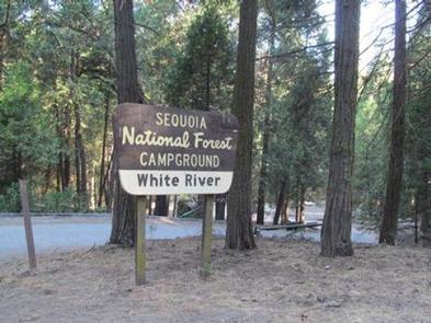
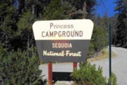
Overview
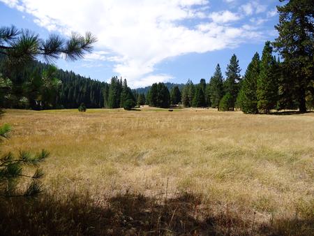
Princess Campground sits next to a large meadow at an elevation of 5,900 feet in the Indian Basin Grove. The campsite is just 3 miles northwest of Hume Lake.
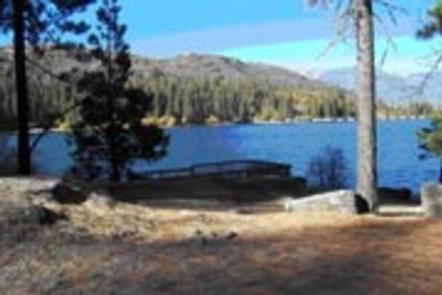
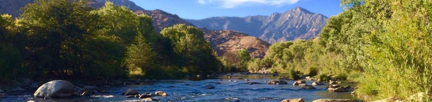
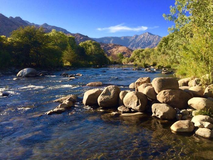
The 87-acre lake was built to support a one-time commercial logging operation, and is part of the Kings River Watershed, a region of the Sierra Nevada mountains replete with vast stands of timber. The lake now provides countless recreational opportunities for visitors.
Recreation
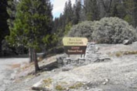
The Indian Basin Grove Interpretive Trail offers an accessible, paved half-mile loop, and an additional half-mile extension loop through the grove and meadow area. The trailhead is right outside the camp entrance.
At nearby Hume Lake, visitors can enjoy fishing, non-motorized boating, hiking, mountain biking and off-road exploring.
For hikers of all levels, the 2.6-mile Hume Lake Loop at the lake and features interpretive signs and benches.
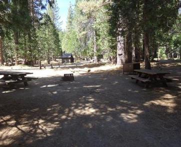
Facilities
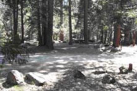
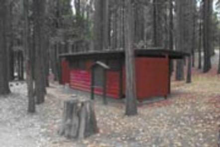
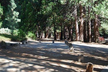
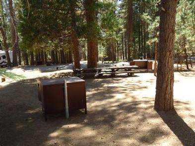
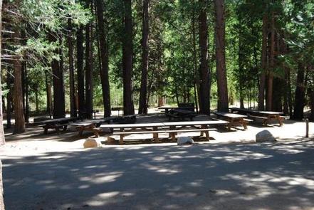
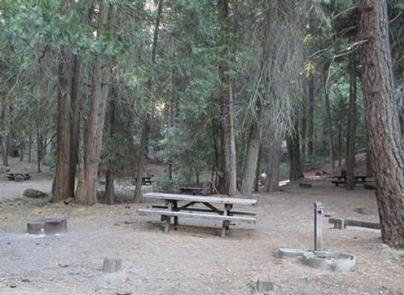
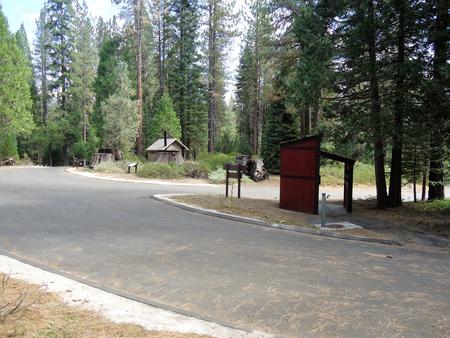
This 88-site park consists of several loops, among them 19 tent-only sites. An amphitheater makes for a convivial gathering place. Some sites have views of Hume Lake. Others have a view of the adjacent meadow. Sites are shaded, parking stands are dirt and gravel.
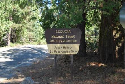
This facility is operated by Sequoia Recreation, a division of California Land Management and comments are welcome; comment forms are available from campground hosts or online.
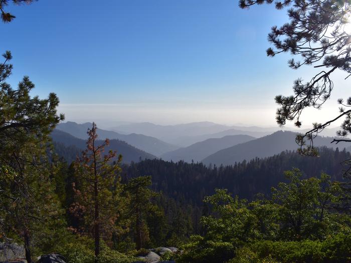
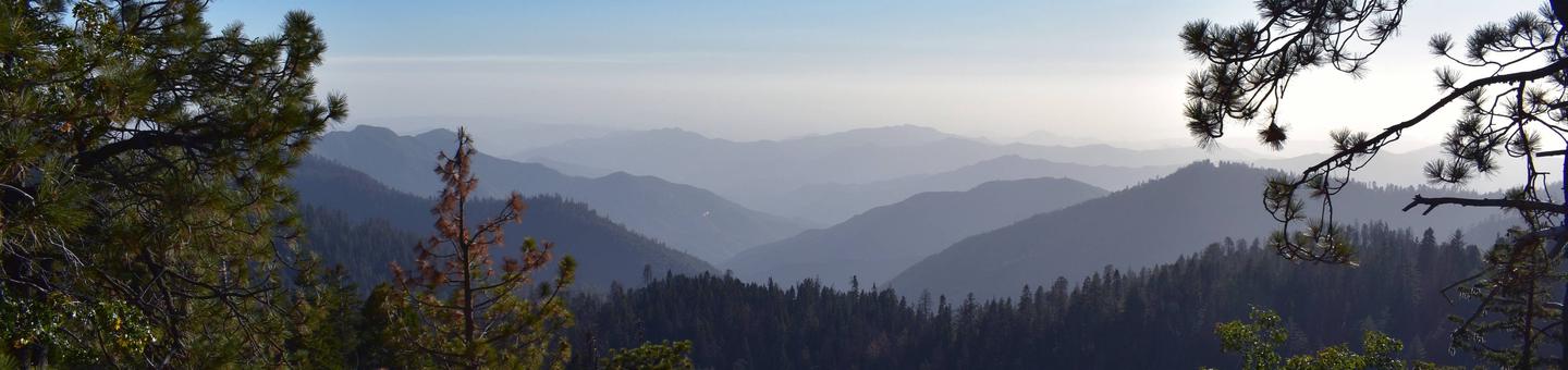
Natural Features
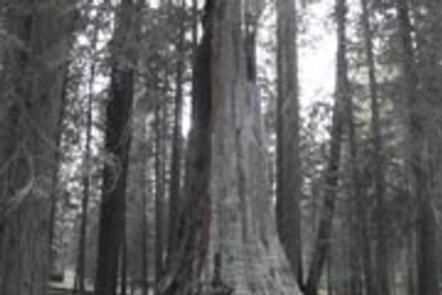
The Sequoia National Forest, located at the southern end of the Sierra Nevada in central California, takes its name from the giant sequoia, the world’s largest tree, which grows in more than 30 groves on the Forest’s lower slopes.
The Forest comprises about 1.1 million acres, and elevations range from about 1,000 to 12,000 feet, creating precipitous canyons and mountain streams with spectacular waterfalls such as Salmon Creek Falls and Grizzly Falls.
Nearby Attractions
The campground provides a great base for day trips to Kings Canyon National Park, Sequoia National Park, Giant Sequoia National Monument, Boyden Caverns and General Grant Grove.
The Giant Sequoia Mercantile offers a wide variety of books, maps, gifts, local art, camping supplies and other merchandise.
Nearby Activities
- Camping
- Hiking
- Day use area
Gallery


Directions
From Fresno, California, go east on Highway 180 to Grants Grove, continuing
approximately 12 miles to Princess Campground on the right.
GPS Coordinates
Latitude 36° 48′ 10.0001″ N
Longitude 118° 56′ 12.9998″ W