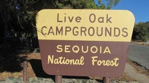
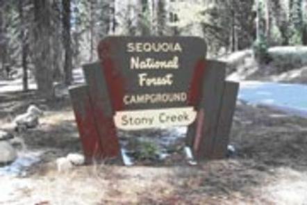
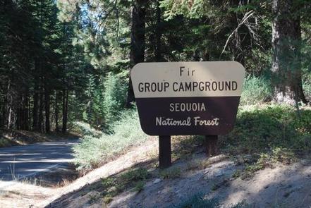
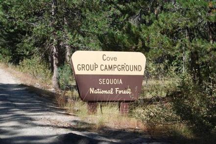
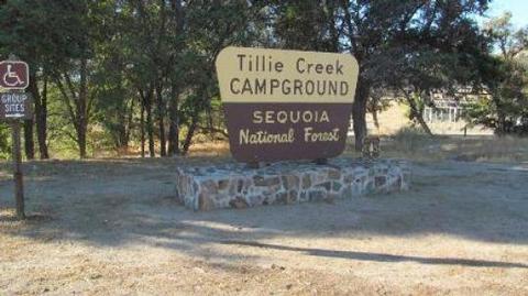
Overview
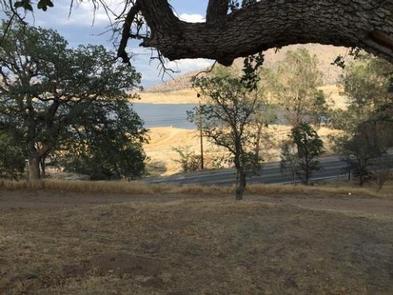
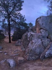
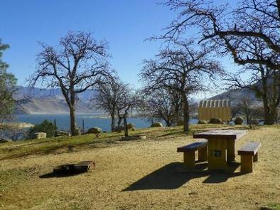
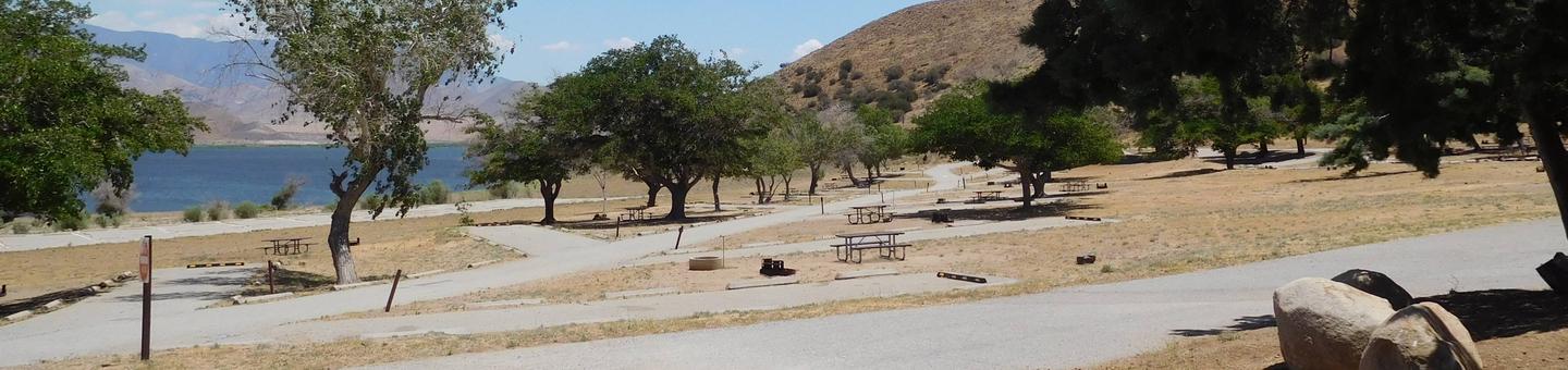
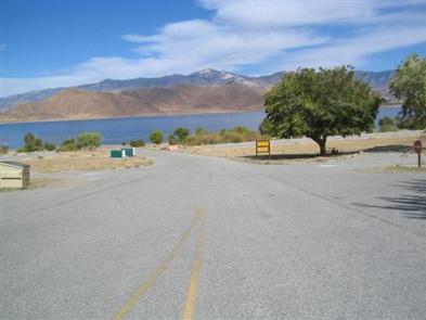
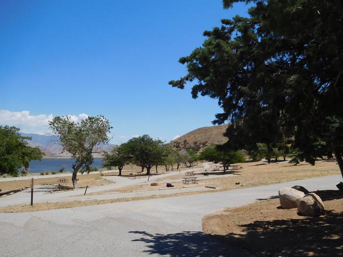
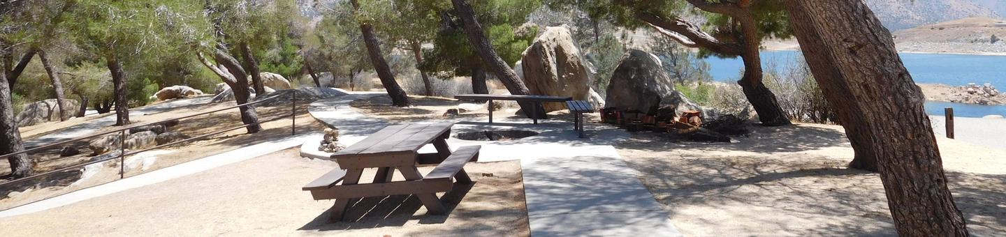
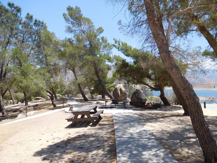
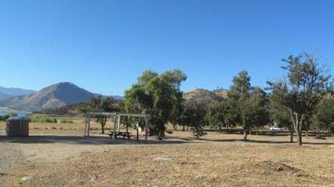
Tillie Creek campground is nestled in oak trees on the shores of Lake Isabella, a popular destination for water activities, especially windsurfing and fishing.
The 11,000-acre lake is actually a reservoir, one of California’s largest, and it marks the division between the Upper Kern and Lower Kern Rivers.
Recreation
Lake activities are the focal point of this year-round campground. Options include swimming, water skiing and windsurfing.
The lake is known for trout fishing during the colder months. Lake Isabella offers anglers a variety of species, including black and White crappie, bluegill, catfish and largemouth bass.
Facilities
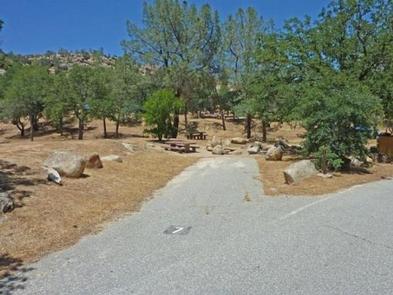
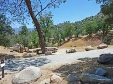
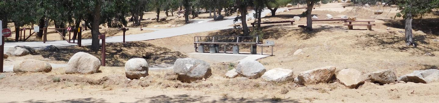
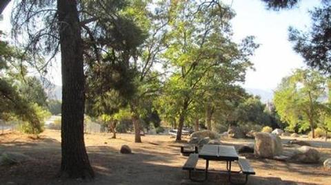
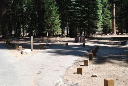
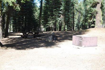
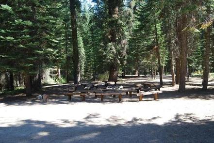
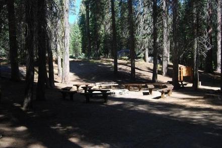
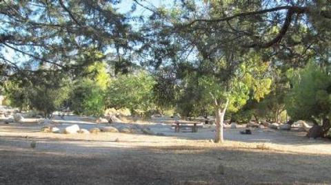
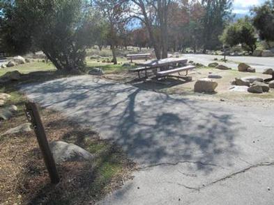
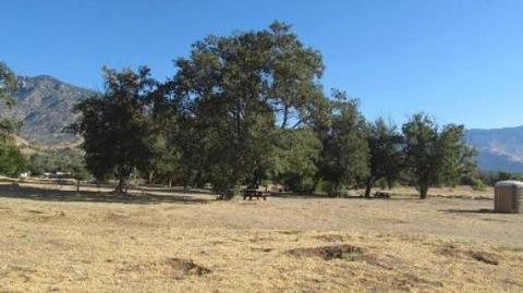
This year-round campground can accommodate family reunions and other large parties, from 60 up to 150 guests, and also offers about 60 individual campsites.
The campground is located 6 miles from the town of Lake Isabella. One group area is wheelchair accessible. A marina and boat ramps are available just to the south. An ampitheater is available for campfire programs. Other facilities include a fish cleaning station and a playground.
This facility is operated by Sequoia Recreation, a division of California Land Management and comments are welcome; comment forms are available from campground hosts or online.
Natural Features
The Sequoia National Forest, located at the southern end of the Sierra Nevada in central California, takes its name from the giant sequoia, the world’s largest tree, which grows in more than 30 groves on the Forest’s lower slopes.
The Forest comprises about 1.1 million acres, and elevations range from about 1,000 to 12,000 feet, creating precipitous canyons and mountain streams with spectacular waterfalls such as Salmon Creek Falls and Grizzly Falls.
Nearby Attractions
The campground provides a good base for day trips to the Sequoia National Park, Trail of a Hundred Giants, and numerous Sequoia groves in the Giant Sequoia National Monument.
Nearby Activities
- Boating
- Camping
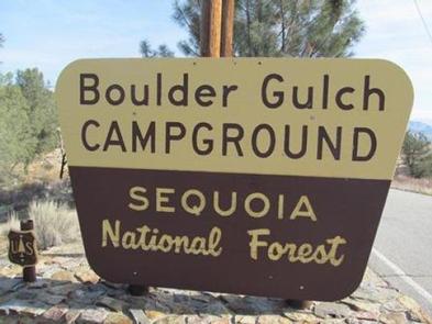
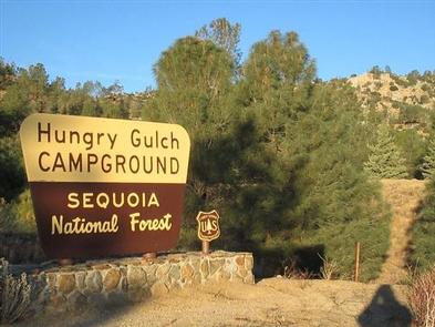
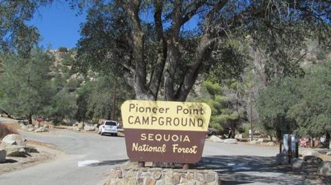
Gallery
Directions
From Bakersfield, California, take Highway 178 east to the town of Lake Isabella. From
Lake Isabella take Highway 155 north, traveling 6 miles to the entry
station of Tillie Creek Campground.
GPS Coordinates
Latitude 35° 42′ 5.0000″ N
Longitude 118° 27′ 15.9998″ W