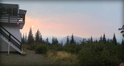
Overview
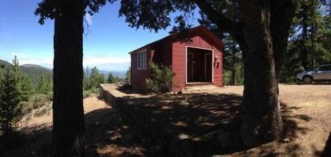
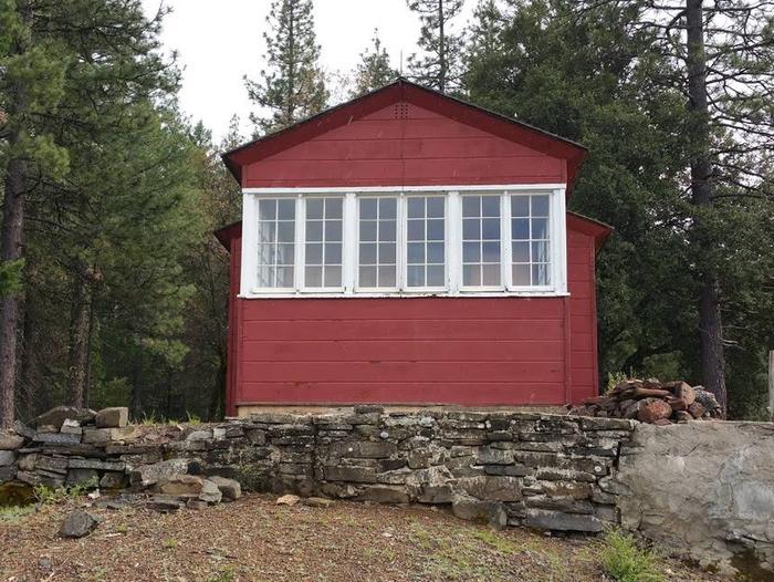
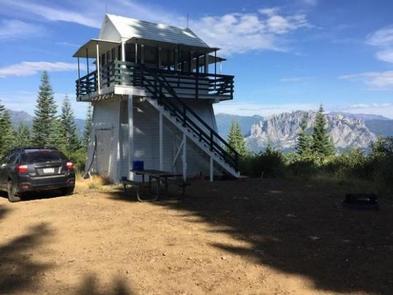
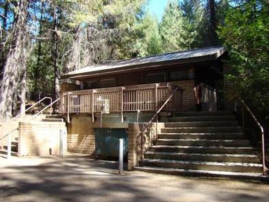
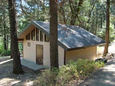
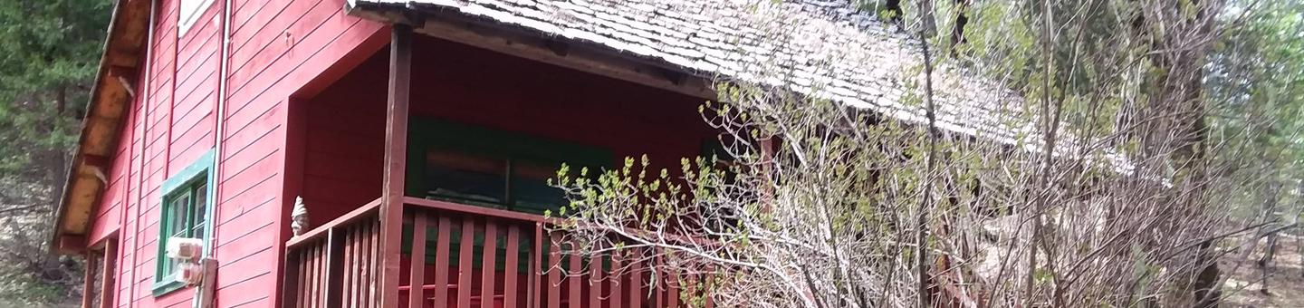
This historic guard station offers a unique stay in the oldest Forest Service building on the Shasta-Trinity National Forest. This charming two-story structure was built in 1916 under the direction of John T. Grey, District Ranger of the Mad River Ranger District on the old Trinity National Forest.
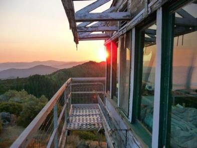
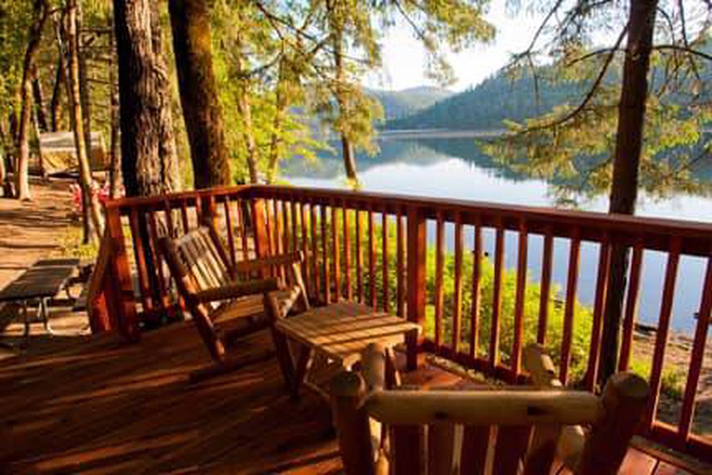
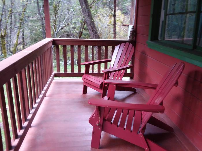
Visitors can relax on the front porch and enjoy the tranquil surroundings from mid-April to the beginning of December.
Recreation
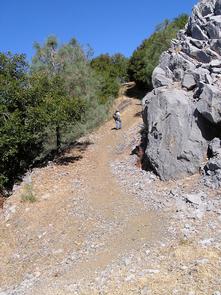
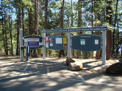
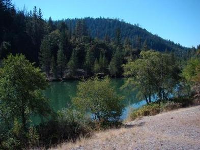
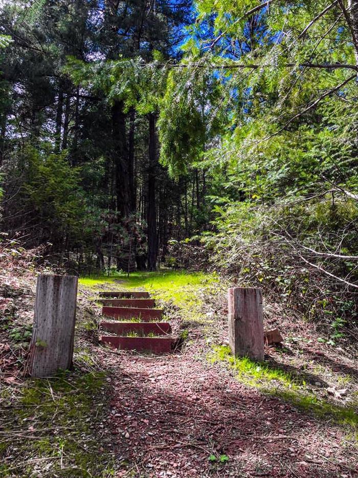
The South Fork National Recreational Trail can be accessed one and a half miles up the road from the cabin, or from the Scott Flat Campground when conditions permit crossing the swinging footbridge. The trail is 21 miles long, but the first 7.2-miles that parallel the South Fork Trinity River are the most traversed. The trail offers numerous scenic views.
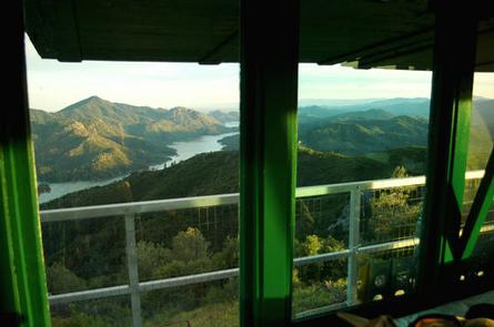
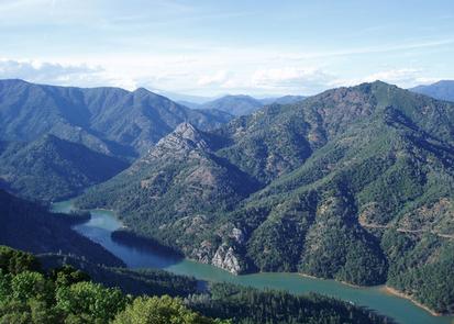
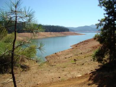
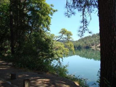
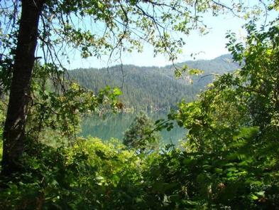
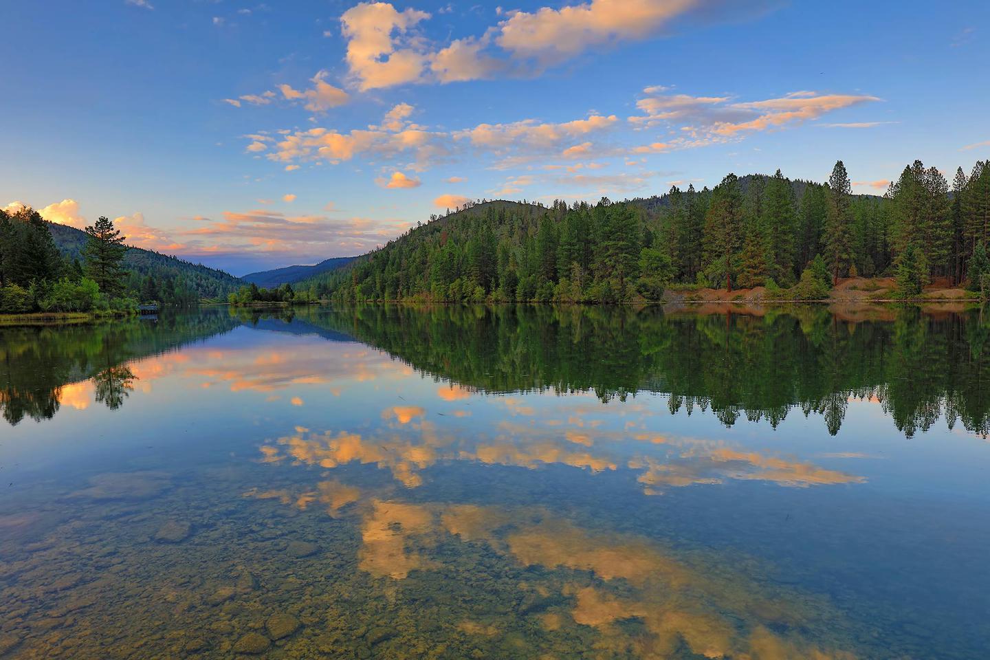
Visitors may also want to drive to Ruth Lake for a picnic and additional hiking, which is about a 45 minute drive west of the cabin.
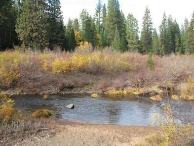
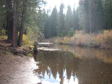
Visitors can find a few excellent swimming holes on the South Fork Trinity River.
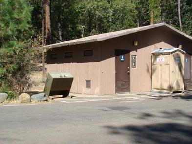
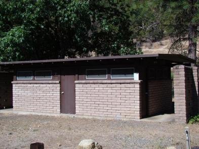
Facilities
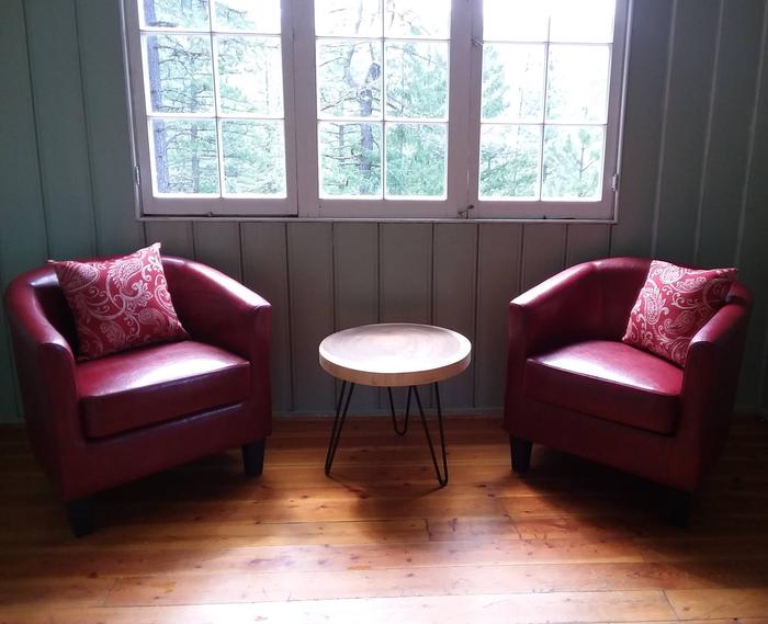
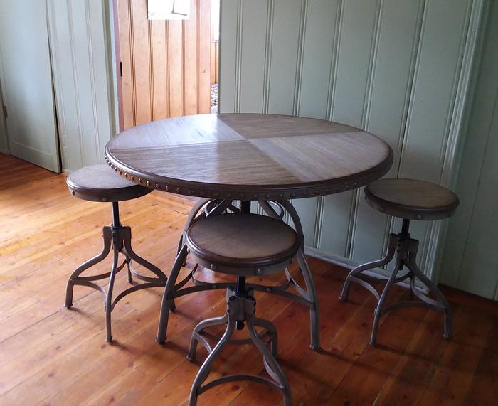
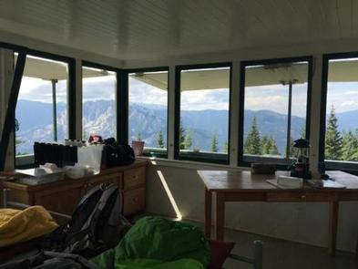
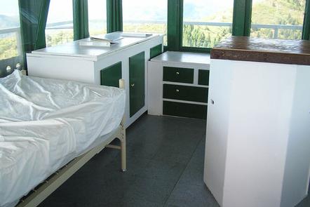
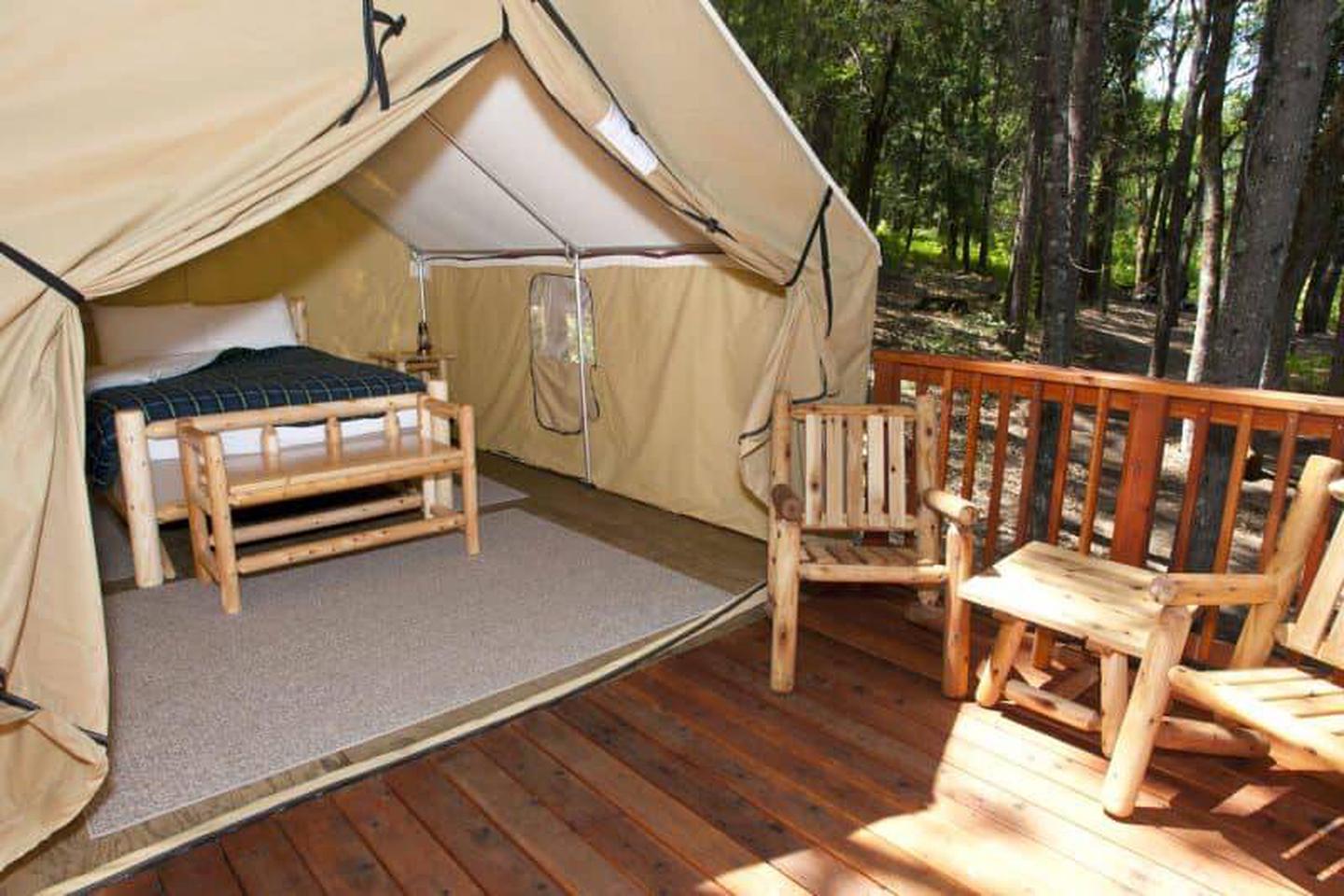
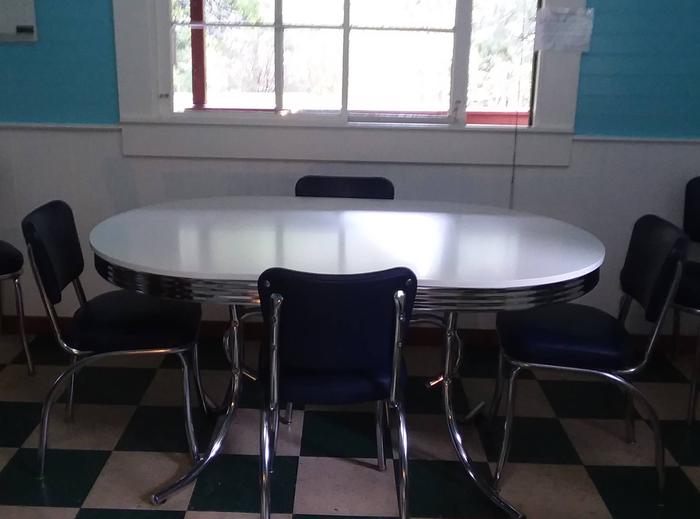
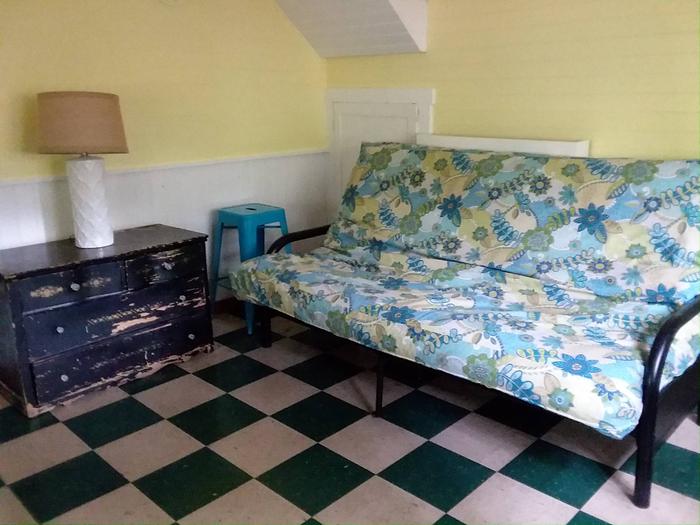
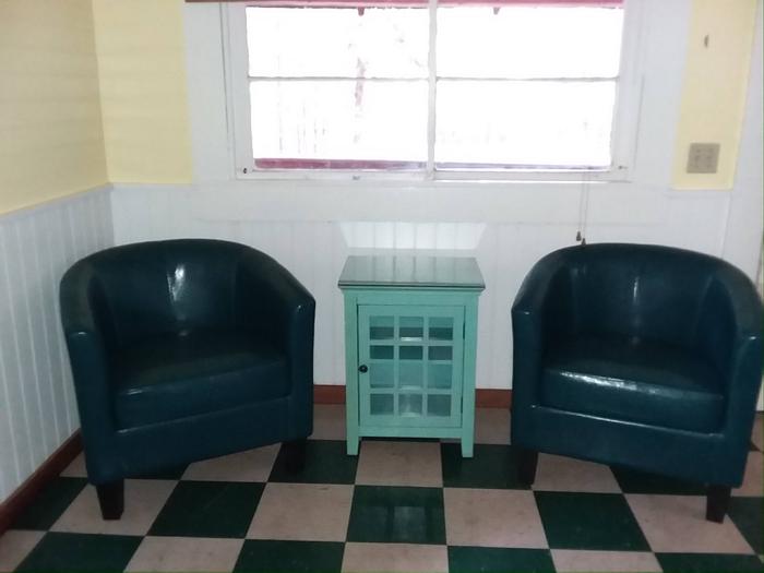
The cabin has electricity. The lower level has a living area with two barrel chairs and a double futon, along with a large kitchen area equipped with a cook stove and refrigerator, dining table, and chairs. The kitchen is fully stocked with dishes, pots, pans, and utensils.
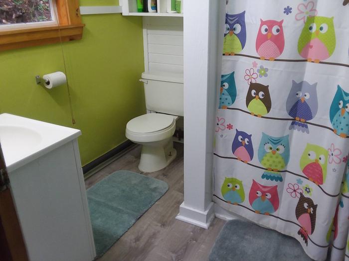
There is an indoor bathroom with flush toilet. There is a king size bed, two twin beds, and a double futon, and sleeping bags can be placed on the floor to accommodate a total of eight people in the cabin. Visitors should bring all bed linens (e.g., sheets, blankets, sleeping bags and/or blankets, pillows), kitchen linens, and bath towels.
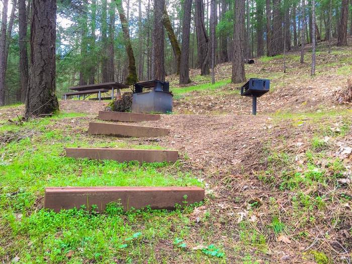
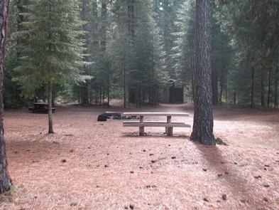
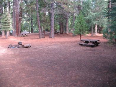
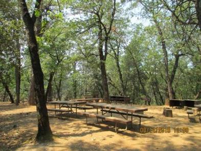
A fire pit, Adirondak chairs, and picnic table are provided outside.
Space heaters are in the cabin.
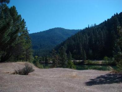
Natural Features
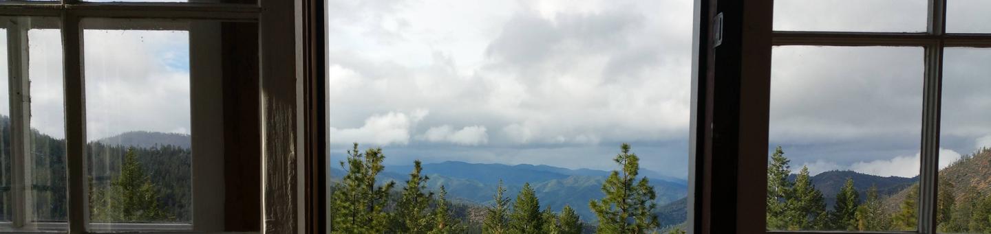
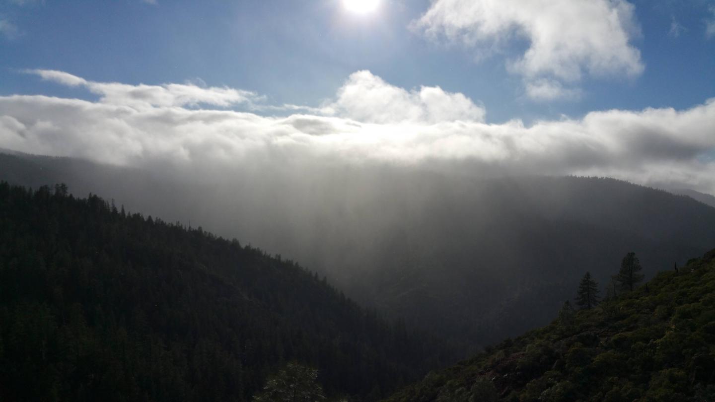
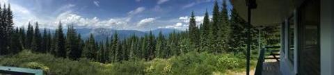
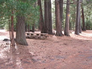
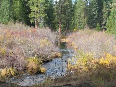
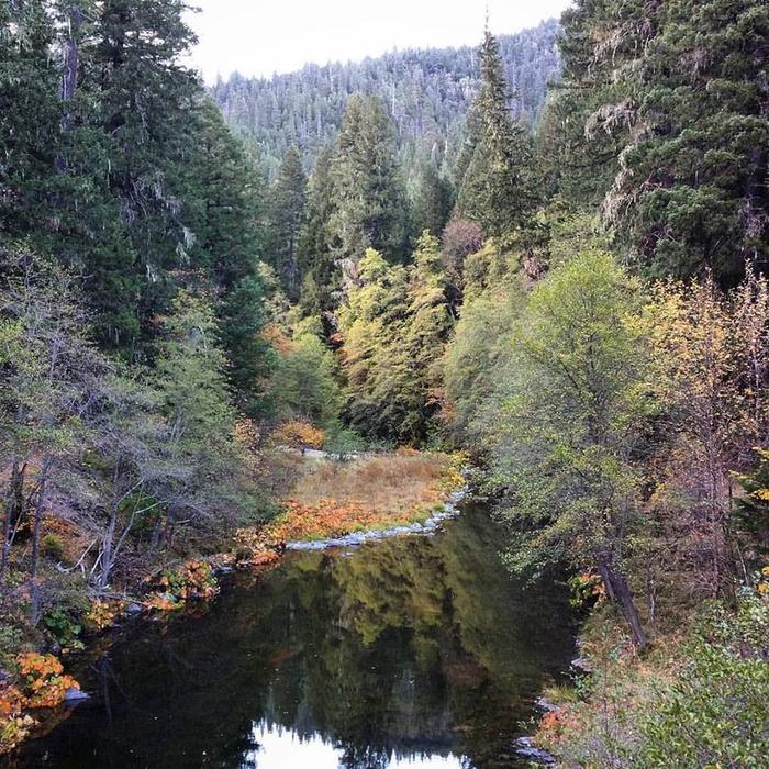
Forest Glen Guard Station is located in the Hayfork Area, an area rich in natural beauty. One of its three major watersheds is the South Fork Trinity River, which is adjacent to the guard station and considered to be one of wildest and most scenic waterways in northern California. Glen Creek flows year round right next to the cabin. The surrounding area is forested with ponderosa pine, Douglas Fir, and oak. There are many numerous open meadows in the area.
Nearby Attractions
South Fork National Recreation Trail, South Fork Trinity River, South Fork Mountain Ridge, Ruth Lake.
Nearby Activities
- Biking
- Historic & cultural site
- Camping
- Hiking
- Hunting
- Wildlife viewing
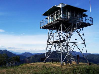
- Fire lookouts/cabins overnight
- Swimming site
- Photography
- Backpacking
- Tubing
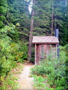
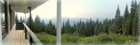
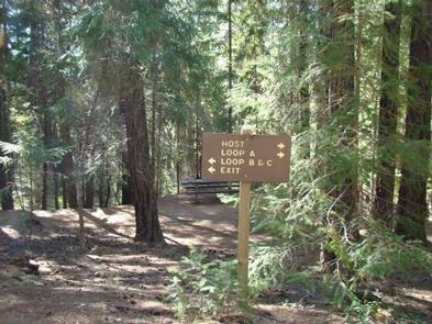
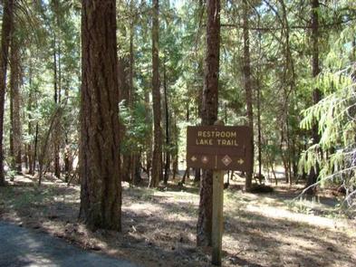
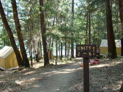
Gallery
Directions
Please note: Do NOT rely on GPS systems, particularly those on phones, as this can result in you being led off track onto Forest roads that cannot be traversed with all vehicle types. The cabin is off of a major Northern California Highway; there is no appropriate or direct route via gravel or dirt forest roads, except for the very short traverse to the cabin on the 1S26 Road directly off of CA-36.
Coming from the south on I-5, take California State Highway 36 West at Red Bluff. Continue on CA-36 West for approximately 75 miles to Forest Glen. Pass Forest Glen Campground on the north (right), cross the South Fork Trinity River Bridge and turn south (left) directly after crossing the bridge onto Forest Road 1S26.
Coming from the north on I-5, take either California State Highway 36 West (directions above) or California State Highway 299 West (follow signs from I-5). Once on CA-299, go west for approximately 37 miles. Turn south (left) on CA-3 directly before Douglas City. Follow CA-3 South for approximately 35 miles (passing through Hayfork) to the junction of CA-3 and CA-36. Turn west (right) on CA-36 and continue to Forest Glen. Pass Forest Glen Campground on the north (right), cross the South Fork Trinity River Bridge and turn south (left) directly after crossing the bridge onto Forest Road 1S26.
Coming from the west on US-101, take California State Highway 36 East. Continue on CA-36 East for approximately 60 miles toward Forest Glen. Turn south (right) on Forest Road 1S26 directly before crossing the South Fork Trinity River Bridge.
The Forest Glen Guard Station is the first cabin on the right.
GPS Coordinates
Latitude 40° 22′ 0.9998″ N
Longitude 123° 19′ 0.9998″ W