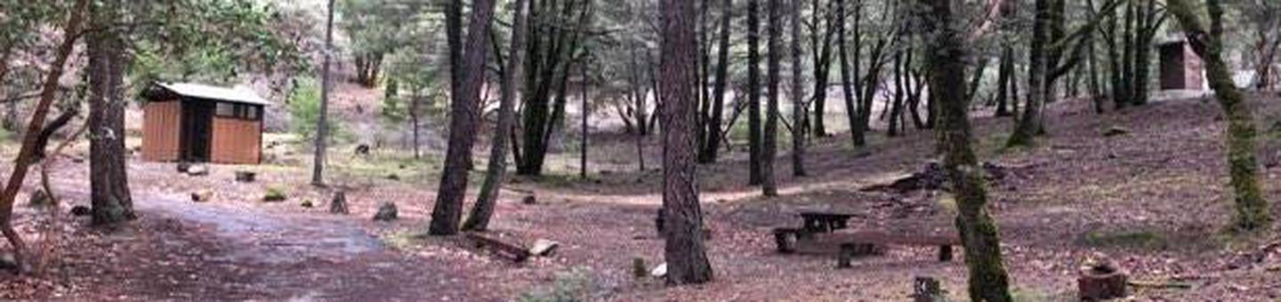
This facility has 2 picnic units and offers access for hiking. This is an historic site (historic and geological). Access is unpaved and there is no water system.
Directions
GPS Coordinates
Latitude 40° 29′ 45.3849″ N
Longitude 123° 6′ 3.2342″ W
This facility has 2 picnic units and offers access for hiking. This is an historic site (historic and geological). Access is unpaved and there is no water system.
Latitude 40° 29′ 45.3849″ N
Longitude 123° 6′ 3.2342″ W
A short distance away, you have the South Fork of the Trinity River and the swimming is great! Close by, at Scotts Flat Campground, you have the trailhead for the South Fork National Recreational Trail. The trail parallels the South Fork of the Trinity River and is 7.2 miles long. The South Fork of the Trinity River is one of the most scenic waterways in Northern California. A visit to this awesome area is like stepping back one hundred years in time. Forest Glen is available for rent year-round.
Latitude 40° 39′ 0.9788″ N
Longitude 123° 29′ 37.4507″ W
Features rugged terrain with steep, chaparral and tree covered slopes. Chanchelulla Peak is the highest point at 6,400 feet.
Latitude 0° 0′ 0.0000″ S
Longitude 0° 0′ 0.0000″ W
This facility has 8 (tent only) camping units and offers access to swimming, fishing and hiking. No potable water. Beach.
Latitude 40° 39′ 52.5038″ N
Longitude 123° 29′ 50.9611″ W
The SFMU is based in Hayfork and contains the Hayfork and Yolla Bolla Ranger Districts. The SFMU encompasses over 590,000 acres. Three major streams from the primary watersheds within this area; the South Fork of the Trinity River, Hayfork Creek and Beegum Creek.
The SFMU is bounded along its western side by South Fork Mountain, one of the longest continuous ridgelines in North America. At the southern end of the unit are the Yolla Bolla Mountains and one of two wilderness areas with the unit, the Yolla Bolla/ Middle Eel Wilderness. Situated along the eastern side of the SFMU is the Chanchelulla Wilderness. The northern end of the unit is bounded by a series of ridgelines and peaks that include Pattison Peak, Hayfork Bally and Hayfork Divide.
The large variety in terrain and ecosystems that exist on the South Fork Management Unit (SFMU) provide for a wide range of recreational opportunities.
You can rent an historic cabin, camp in a wide variety of campgrounds, both developed and undeveloped, hike into either the Yolla Bolly or Chanchelula Wilderness area, or enjoy a 40+ mile wild and scenic river corridor. With this wide range of recreational opportunities, you should be able to find just the right one for your interests.
The Chanchelulla Wilderness is the second of the two wilderness areas in the South Fork Management Unit, which provides opportunity for wilderness hiking and camping.
The South Fork of the Trinity is a rich resource with its serene beauty and its many recreational opportunities.
Latitude 40° 31′ 16.8670″ N
Longitude 123° 16′ 26.0126″ W
Follows Highway 299 west between the small community of Shasta on the outskirts of Redding all the way to Blue Lake near Arcata on the coast.
Latitude 0° 0′ 0.0000″ S
Longitude 0° 0′ 0.0000″ W
Skunk Point is a group facility, available by reservation only. There is no potable water.
Latitude 40° 44′ 11.1912″ N
Longitude 123° 13′ 58.7640″ W
Facility has 5 sites. Can accomodate up to a 22 foot trailer. No potable water.
Latitude 40° 55′ 59.1685″ N
Longitude 123° 23′ 35.7925″ W
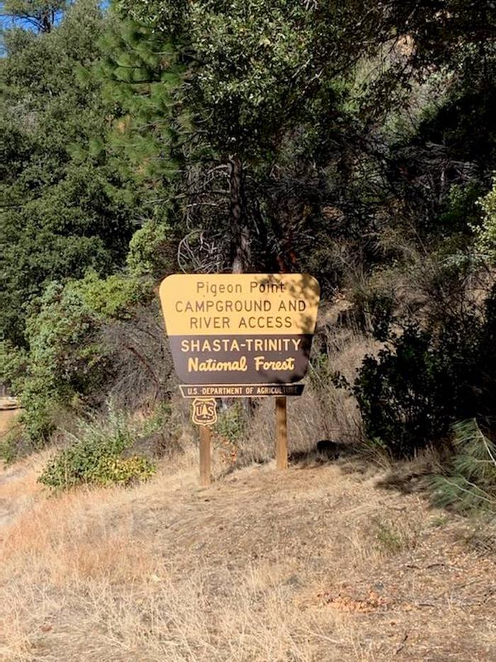
Pigeon Point Group Campground is located on CA Highway 299 approximately 15 miles west of Weaverville, CA at 1100′. Located on the Wild and Scenic portion of the Trinity River, this campground is a wonderful place to camp when enjoying all the river has to offer.
The Trinity River offers fun-filled hours of fishing, swimming, floating, rafting, kayaking and boating. River access is available at this location for boats that can be carried by hand. Nearby tributaries to the Trinity River offer beautiful spots to swim and spend the day.
Generally, Pigeon Point to Big Flat is too dangerous for tuber and family canoeists. Boating is not advisted from Cedar Flat to Grays Falls except for expert boaters. Several commercial guides operate on the Trinity River under Forest Service Special Use permits. They provide quality guided raft and white water instruction and can be found on the Shasta-Trinity NF website .
**Please note that the Trinity River is subject to periodic changes in flow conditions from releases from Lewiston Dam. Current flows (CFS) can be obtained by calling (530) 246-7594.
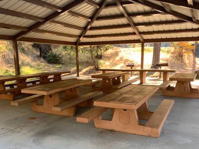
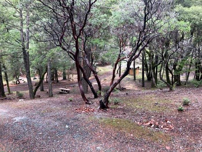
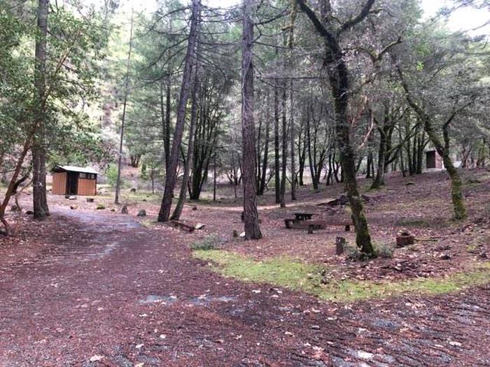
There is one group site located at this campground. There are picnic tables, fire rings and vault toilets. No potable water is available.
Located on the Wild and Scenic portion of the Trinity River, this campground has a beautiful view of the river.

Pigeon Point Group Campground is located on the south side of CA Highway 299 15 miles west of Weaverville, CA.
To get to Skunk Point Group Campground from Redding, CA: Travel West on CA Highway 299, through Weaverville, CA, for approximately 60 miles.
To get to Pigeon Point Group Campground from Arcata, CA: Travel East on CA Highway 299 for approximately 80 miles.
Latitude 40° 46′ 1.3929″ N
Longitude 123° 7′ 48.9734″ W
Hayden Flat Campground is located 31 miles west of Weaverville, CA along CA Highway 299 at an elevation of 1200′. Located on the Wild and Scenic portion of the Trinity River, this campground is a wonderful place to camp when enjoying all the river has to offer. The upper loop of the campground has been converted into 3 group sites.
The Trinity River offers fun-filled hours of fishing, swimming, floating, rafting, kayaking and boating. River access is available at this location for boats that can be carried by hand. Nearby tributaries to the Trinity River offer beautiful spots to swim and spend the day.
Generally, Pigeon Point to Big Flat is too dangerous for tuber and family canoeists. Boating is no advisted from Cedar Flat to Grays Falls except for expert boaters. Several commercial guides operate on the Trinity River under Forest Service Special Use permits. They provide quality guided raft and white water instruction and can be found on the Shasta-Trinity NF website.
**Please note that the Trinity River is subject to periodic changes in flow conditions from releases from Lewiston Dam. Current flows (CFS) can be obtained by calling (530) 246-7594.
This campground is also located near several trailheads that access the Trinity Alps Wilderness. Contact the Weaverville Ranger Station for information about the wilderness area and required self issue permits for overnight trips.
The upper loop of the campground has been designated for group camping. Each of the group sites has 3-4 individual sites to use.
Located on the Wild and Scenic portion of the Trinity River.
Hayden Flat Campground is located on the north side of CA Highway 299. The group sites are located behind the locked gate at the top of the campground.
To get to Hayden Flat Campground from Redding, CA: Travel West on CA Highway 299, through Weaverville, CA, for approximately 31 miles.
To get to Skunk Point Group Campground from Arcata, CA: Travel East on CA Highway 299 for approximately 65 miles.
Latitude 40° 47′ 2.0225″ N
Longitude 123° 20′ 35.9542″ W