Overview
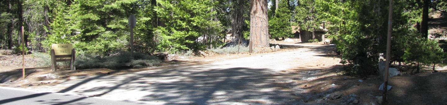
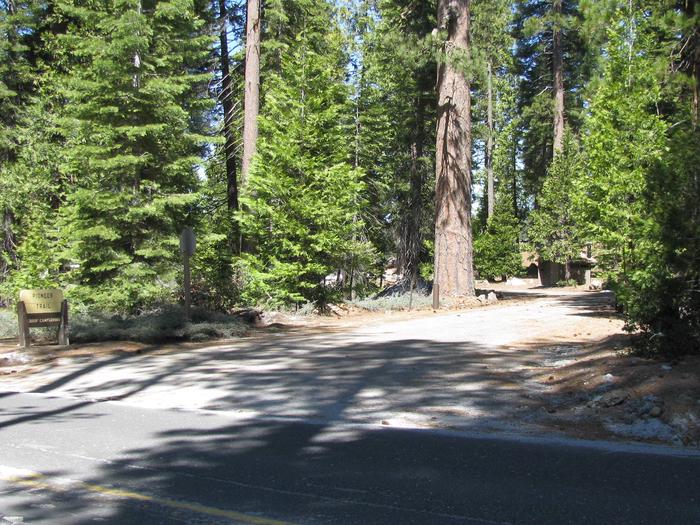
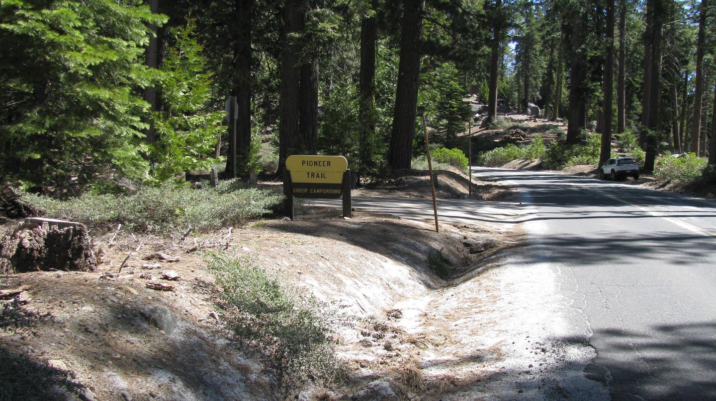
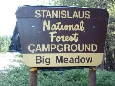
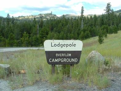
Lodgepole Group Campground is located just two miles west of Lake Alpine in northern California. The campground affords breathtaking views of the surrounding Stanislaus National Forest.
Campground may open earlier and close later on a first come first serve basis as weather (snow level) allows. This information will be posted on this page as soon as it becomes available.
The current dates for reservations have historically allowed for comfortable camping, but please take into consideration the high alpine location when making a reservation. It is possible to have snow, rain, mud, and overall cold/wet conditions any time of year.
Recreation
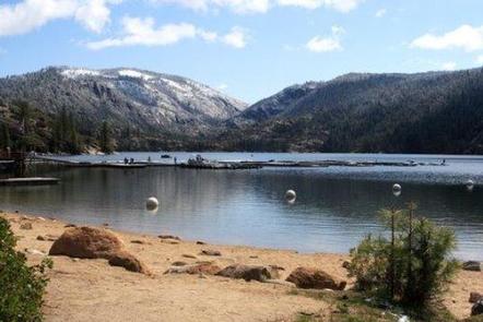
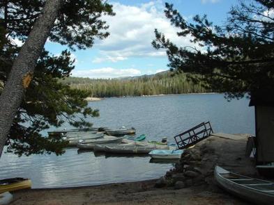
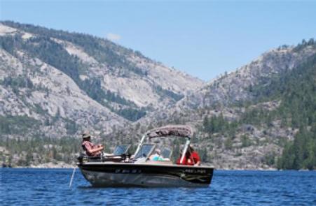
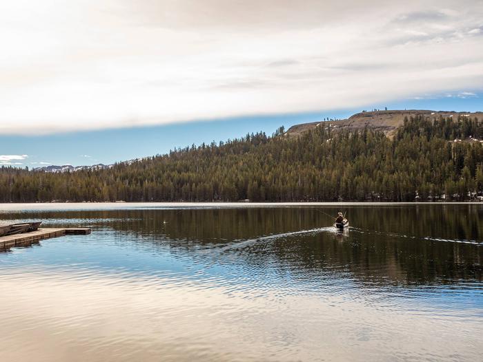
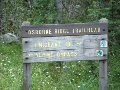
Lake Alpine provides a wide variety of recreation opportunities. Hike, bike, or ride a horse on Bear Valley, an accessible trail that winds along the lakeshore to the community of Bear Valley. It connects with the historic Emigrant Trail, the route pioneers once traveled via covered wagon to settle in California.
Interpretive programs are offered by Forest Service rangers during the summer months.
Facilities
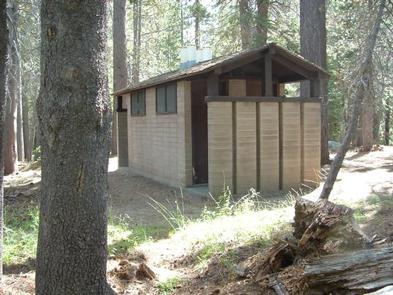
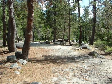
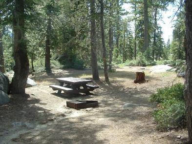
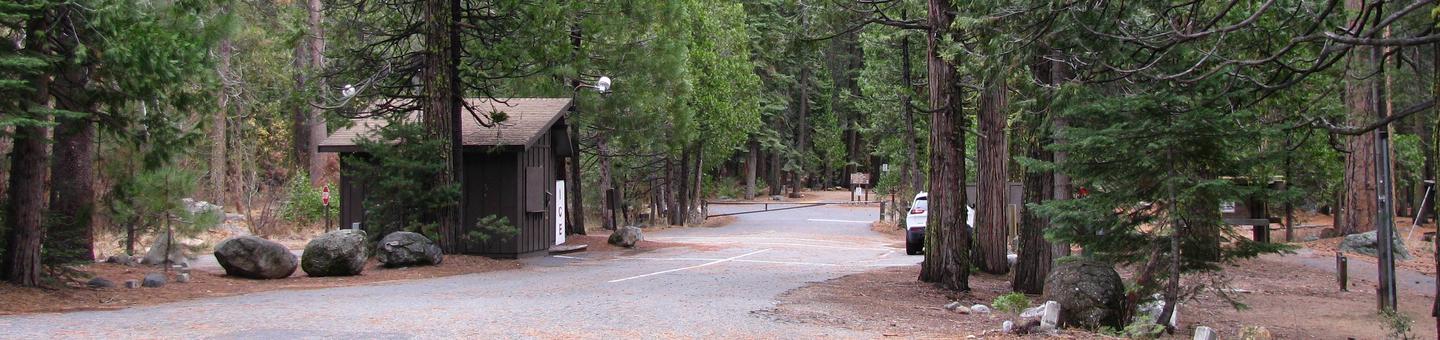
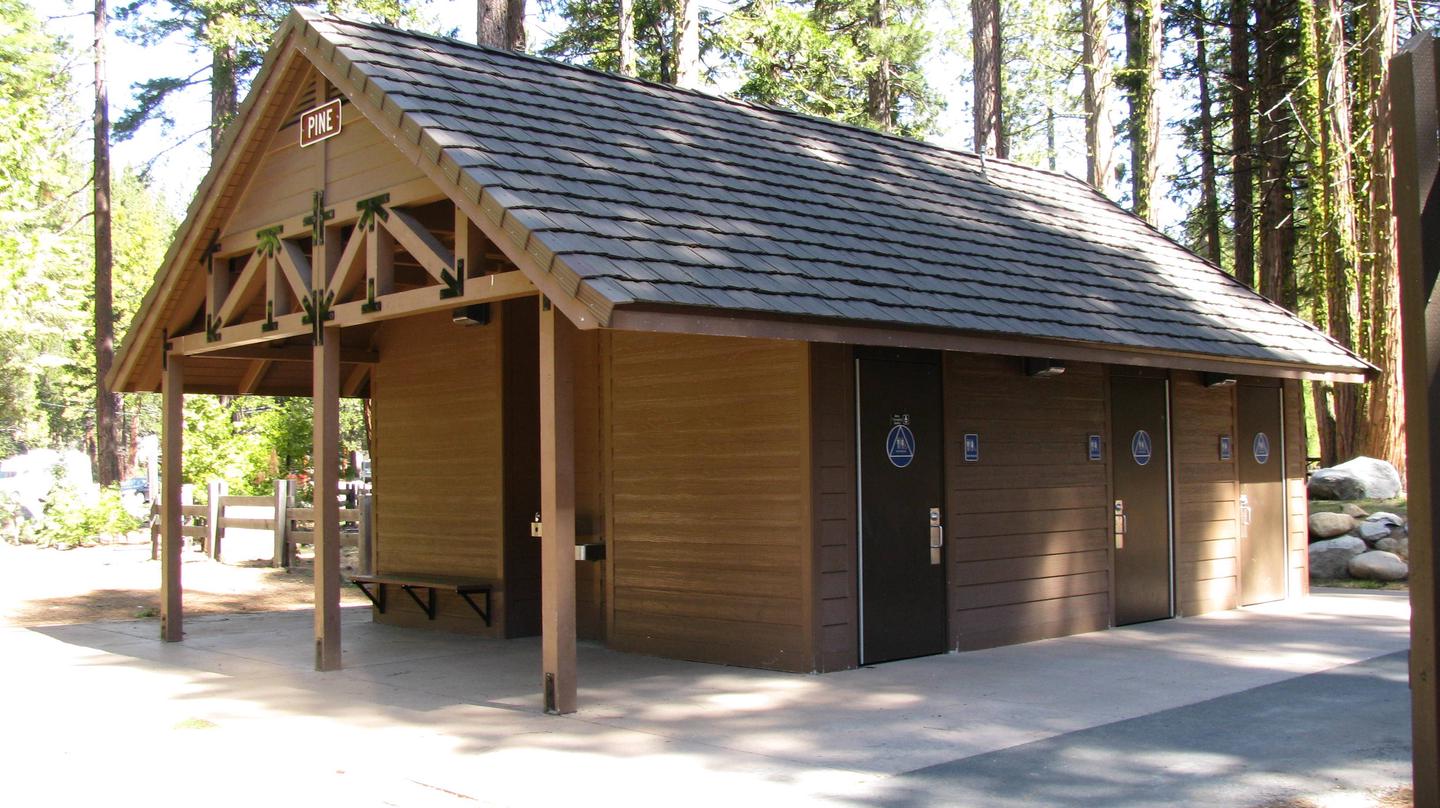
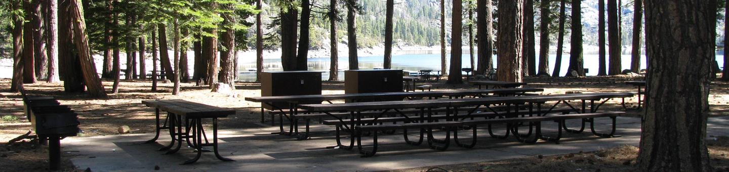
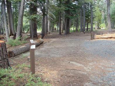
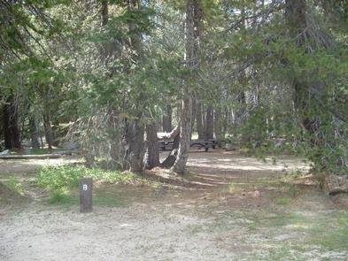
Campsites with room for up to 6 people, 3 tents, and 2 vehicles per campsite. Picnic tables, campfire rings, toilets are available. Hot showers and laundromat available at nearby Lake Alpine Lodge. No electricity or hook-ups. Pets are welcome. Firewood, camping and fishing supplies, food, and apparel is available in the general store at Lake Alpine Lodge.
Natural Features
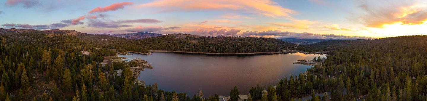
Lodgepole Campground is situated on a large, flat plain, not far from a creek. It sits at an elevation of 7,290 feet, within the Stanislaus National Forest in the central Sierra Nevada Mountains. The forest lies between Lake Tahoe and Yosemite and boasts gorgeous views of snow-capped peaks and California’s Great Central Valley.
A wide variety of wildlife makes its home in the area, including marmots, squirrels, coyotes, deer and many birds.
Nearby Attractions
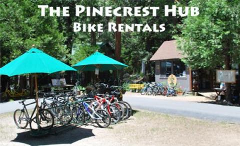
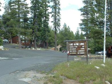
A restaurant, bar, general store, and boat rentals can be found at nearby Lake Alpine Lodge. The immediate area is suited for forest and wilderness recreation. A short car ride away is Big Trees State Park, Grover Hot Springs, Mercer Caverns, Mountain Adventure Seminars, and the wine country of Calaveras County.
Nearby Activities
- Boating
- Climbing
- Camping
- Interpretive programs
- Fishing
- Hiking
- Picnicking
- Recreational vehicles
- Visitor center
- Wilderness
- Day use area
- Swimming site
- Swimming
- Motor boat
- Off road vehicle trails
- Paddle boating
- Water activities
- Kayaking
- Non-motorized boating
- Disc golf
- Scenic drive
- Backpacking
- Mountain climbing
- Rock climbing
- Off highway vehicle trails
Gallery


Directions
From Angel Camp, drive 50 miles east on Highway 4.
GPS Coordinates
Latitude 38° 24′ 59.0000″ N
Longitude 120° 6′ 18.0000″ W