Campground open, water and services provided. Primitive camping allowed – Pack it in, Pack it out.
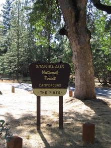
For over 2000 years the Miwuk people lived seasonally in this canyon, gathering food, and fishing the river. The Miwuk word WaKaLuu means river and Hep Yoo describes an untamed or wild force of nature. This beautiful campground is set in mature conifer and oak forest on the North Fork Stanislaus River.
Nearby Activities
Camping
Interpretive programs
Recreational vehicles
Directions
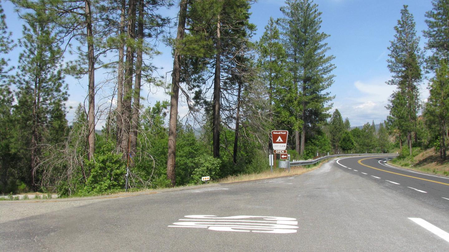
Highway 4 to Dorrington, northeast on Boards Crossing Road.
Campground is closed but accessible during winter. No services – if you camp here, Pack it in, Pack it out.
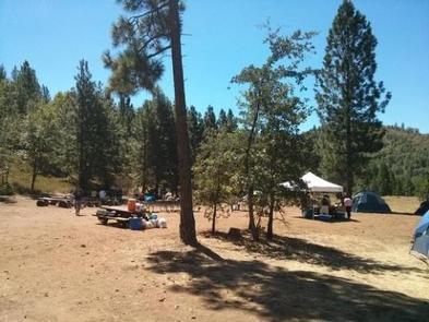
Mature conifer forest on the North Fork Stanislaus River near Spicer Reservoir. There are 25 campsites with picnic tables, hand pumped water and vault toilets.
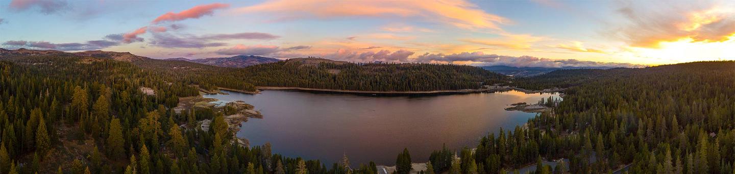
Pine Marten Campground is located in the Calveras Ranger District, at the east end of Lake Alpine Recreation Area in a timbered setting near several trailheads.
Campground may open earlier and close later on a first come first serve basis as weather (snow level) allows. This information will be posted on this page as soon as it becomes available.
The current dates for reservations have historically allowed for comfortable camping, but please take into consideration the high alpine location when making a reservation. It is possible to have snow, rain, mud, and overall cold/wet conditions any time of year.
Recreation
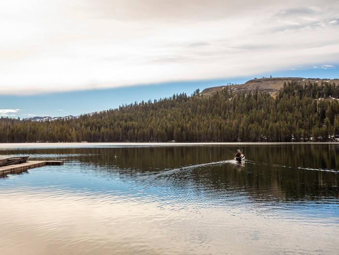
Lake Alpine provides a wide variety of recreational opportunities: fishing, hiking, biking, kayaking, paddle-boarding, boating, OHV trails, swimming, and wildlife watching. Interpretive programs are offered by Forest Service rangers during the summer months.
Facilities
Campsites with room for up to 6 people, 3 tents, and 2 vehicles per campsite. Picnic tables, campfire rings, bathrooms are available. Hot showers and laundromat available at nearby Lake Alpine Resort. No electricity or hook-ups. Pets are welcome. Firewood, camping and fishing supplies, food, and apparel is available in the general store at Lake Alpine Resort.
Natural Features
Pine Marten Campground sits at an elevation of 7,400 feet on the east end of Lake Alpine within the Stanislaus National Forest. The forest lies between Lake Tahoe and Yosemite and boasts gorgeous views. Squirrels, chipmunks, deer, marmots, coyotes, bears, eagles, and many different birds make this area their home. The wildflowers are also beautiful!
Nearby Attractions
A restaurant, bar, general store, and boat rentals can be found at nearby Lake Alpine Lodge. The immediate area is suited for forest and wilderness recreation. A short car ride away there is Grover Hot Springs, Mercer Caverns, Mountain Adventure Seminars, and the wine country of Calaveras County.
Welcome to the Calaveras Ranger District, which encompasses the Highway 4 corridor in the northwest portion of the Stanislaus National Forest. For more information please call the Calaveras Ranger District at 209-813-6007.
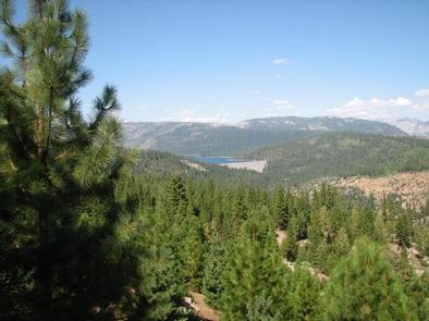
The Scenic Highway 108 Sonora Pass route begins at an elevation of about 3,000 feet, and rises to an elevation of 9,628 feet above sea level. The pass connects the communities of Sonora to the west and Bridgeport to the east. Like Most high elevation passes across the Sierra Nevada, the highway is closed in the winter, generally between November and May, due to large quantities of snow.
The highway over the pass is extremely steep, narrow and winding between Kennedy Meadows on the west side to Leavitt Meadows on the east. The route is not recommended for vehicles or vehicle combinations that are unusally wide, heavy or long. Adjacent to the summit of the pass is a picnic/parking area to nearby Sonora Peak, Wolf Creek Lake, and other spots north or south along the Pacific Crest Trail.
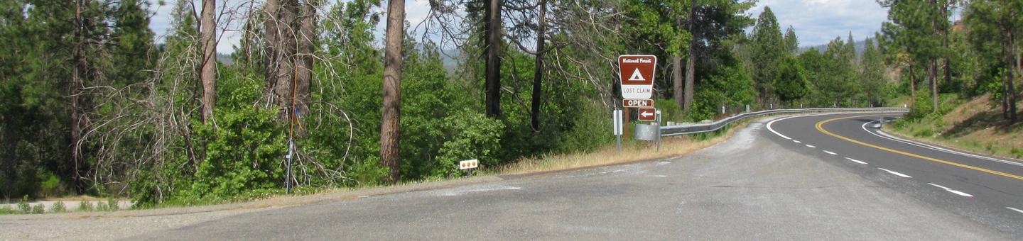
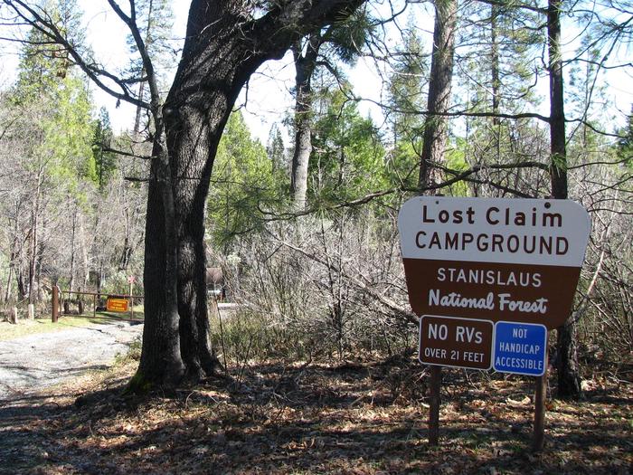
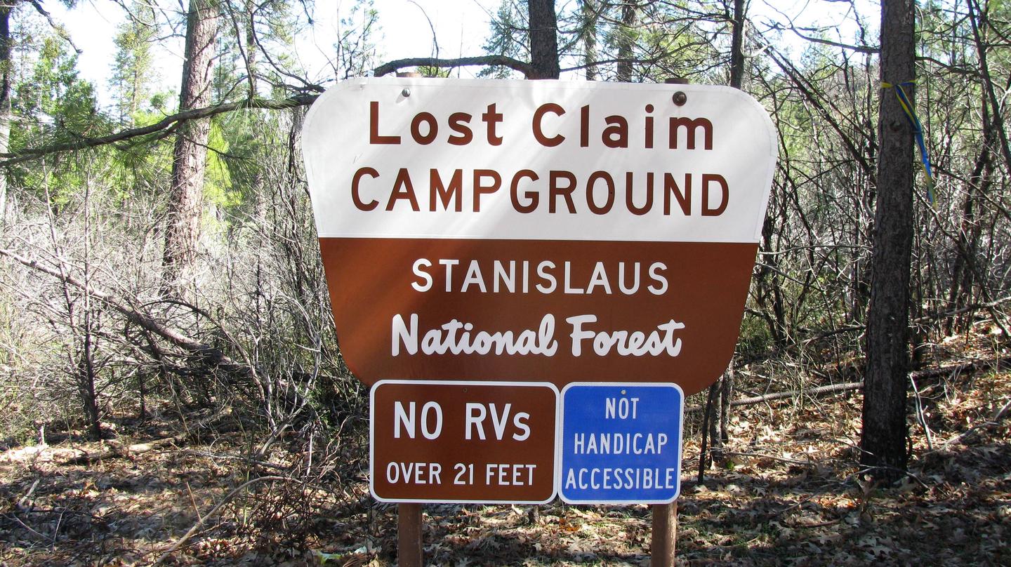
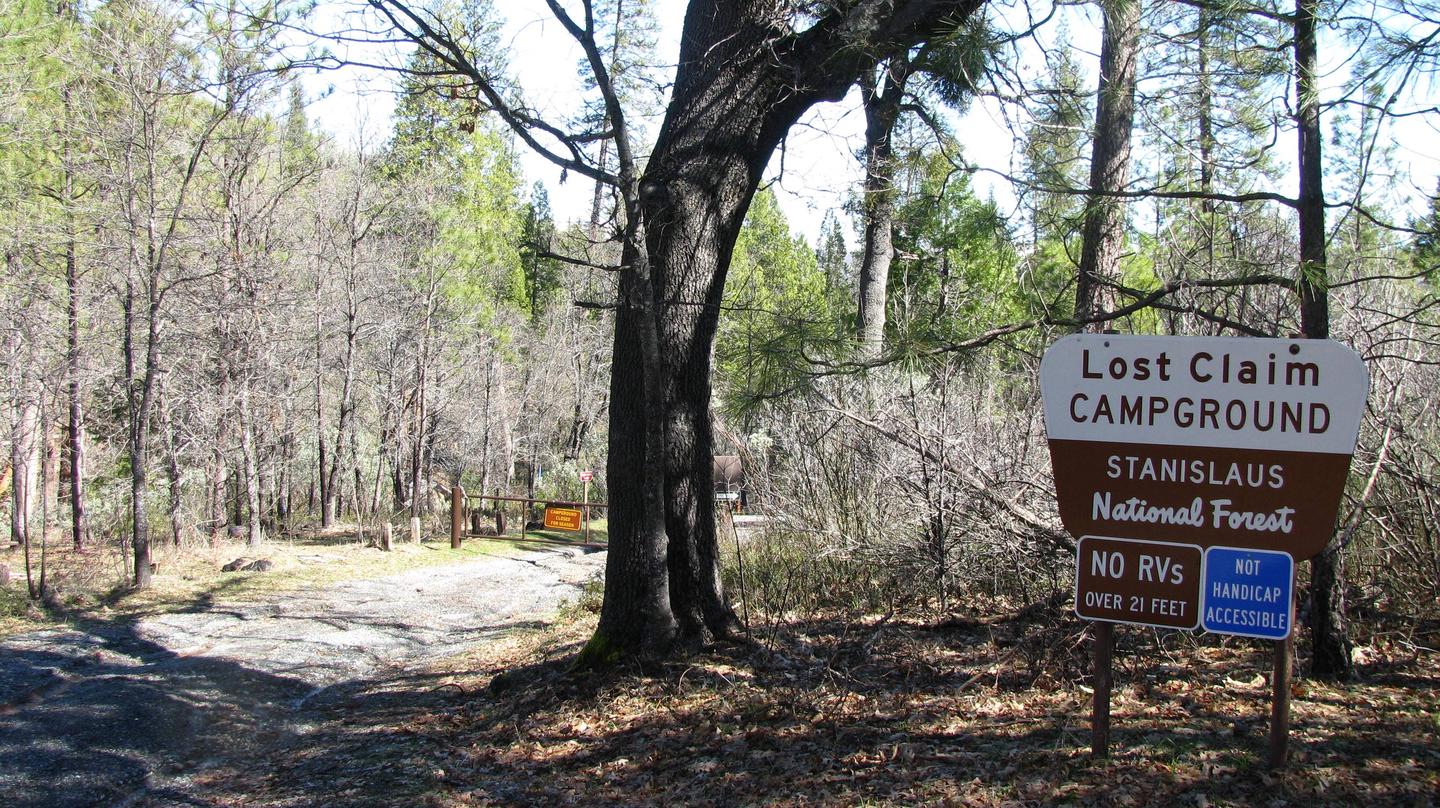
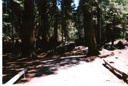
Lost Claim attracts families and friends with its convenient location, just 15 miles from the northwest Yosemite National Park boundary in northern California. Deemed as an ideal base camp, visitors can explore not only Yosemite, but also the fantastic wilderness areas of the Stanislaus National Forest.
Pets are welcome, but must be compliant with Tuolumne County leash laws.
Recreation
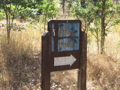
Hike the Little Golden Forest Trail, a half-mile interpretive loop with the option for a longer two-mile loop. A short drive takes visitors to the Tuolumne River for wading and fishing.
Facilities
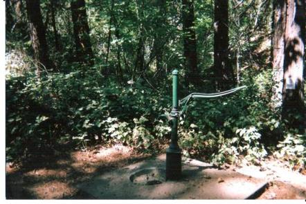
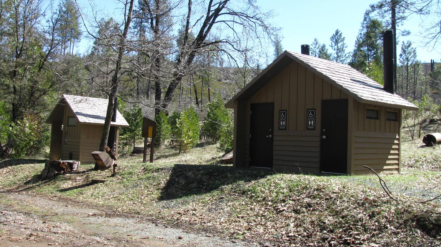
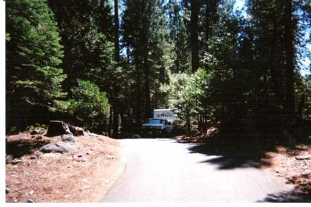
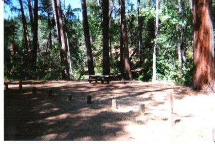
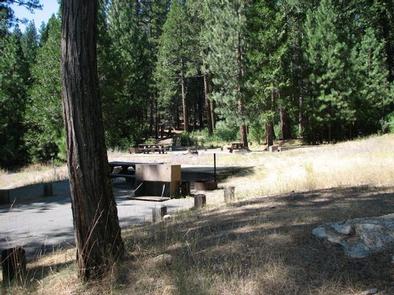
The 10 camping sites are all suited for tents. Sites 1, 7, and 8 would also accommodate tent trailers. The roads and spurs are native surface or gravel. Each site has a picnic table, food storage box and campfire ring. Drinking water and vault toilets are available.
Natural Features
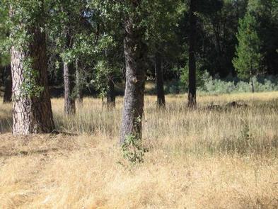
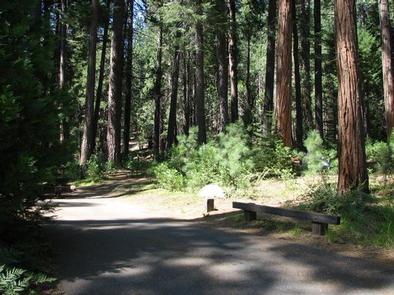
At 3,100 feet in elevation, the tranquil campground sits in a mixed conifer forest with ample shade at each campsite. Nearby is the Tuolumne River, which flows for 150 miles from the central Sierra Nevadas to the San Joaquin River.
Nearby Attractions
Take a scenic drive through Yosemite and explore its legendary waterfalls. Enjoy world class fishing on the Tuolumne River or at one of the many lakes in this western Sierra Nevada location. Go hiking on one of the many nearby trails. The town of Groveland boasts many shopping and tourist activities; check with the Tuolumne County Visitors Bureau for more information.
Nearby Activities
Biking
Camping
Fishing
Hiking
Wildlife viewing
Star gazing
Gallery
Directions
From Groveland, Take State Highway 120 east for 12 miles. The campground is just east of the Groveland Ranger District Office.
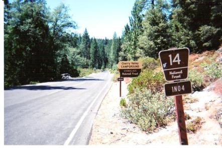
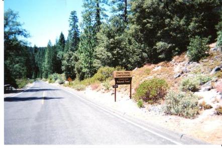
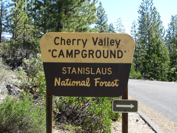
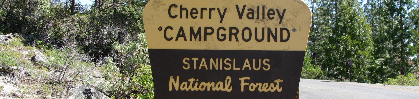
Situated in the central Sierra Nevada, camping at Cherry Valley campground offers many beautiful sights. It is located in a forest of mixed conifers about 1.5 miles northeast of Cherry Valley Dam, 1 hour east of Tuolumne City, 1 hour northeast of Groveland, and 2.5 hours from the northwestern border of Yosemite National Park. Lake access is available via a hiking trail. The road to the campground is a winding mountain road and must be taken slowly.
Recreation
There are unlimited opportunities for fishing on lakes and rivers and for exploring hiking trails in the area. Cherry Lake has a boat ramp near the dam, conveniently located off Cherry Lake Road. Visitors to Cherry Valley can enjoy a quiet lake experience great for water sports, swimming, and fishing.
Facilities
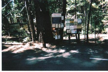
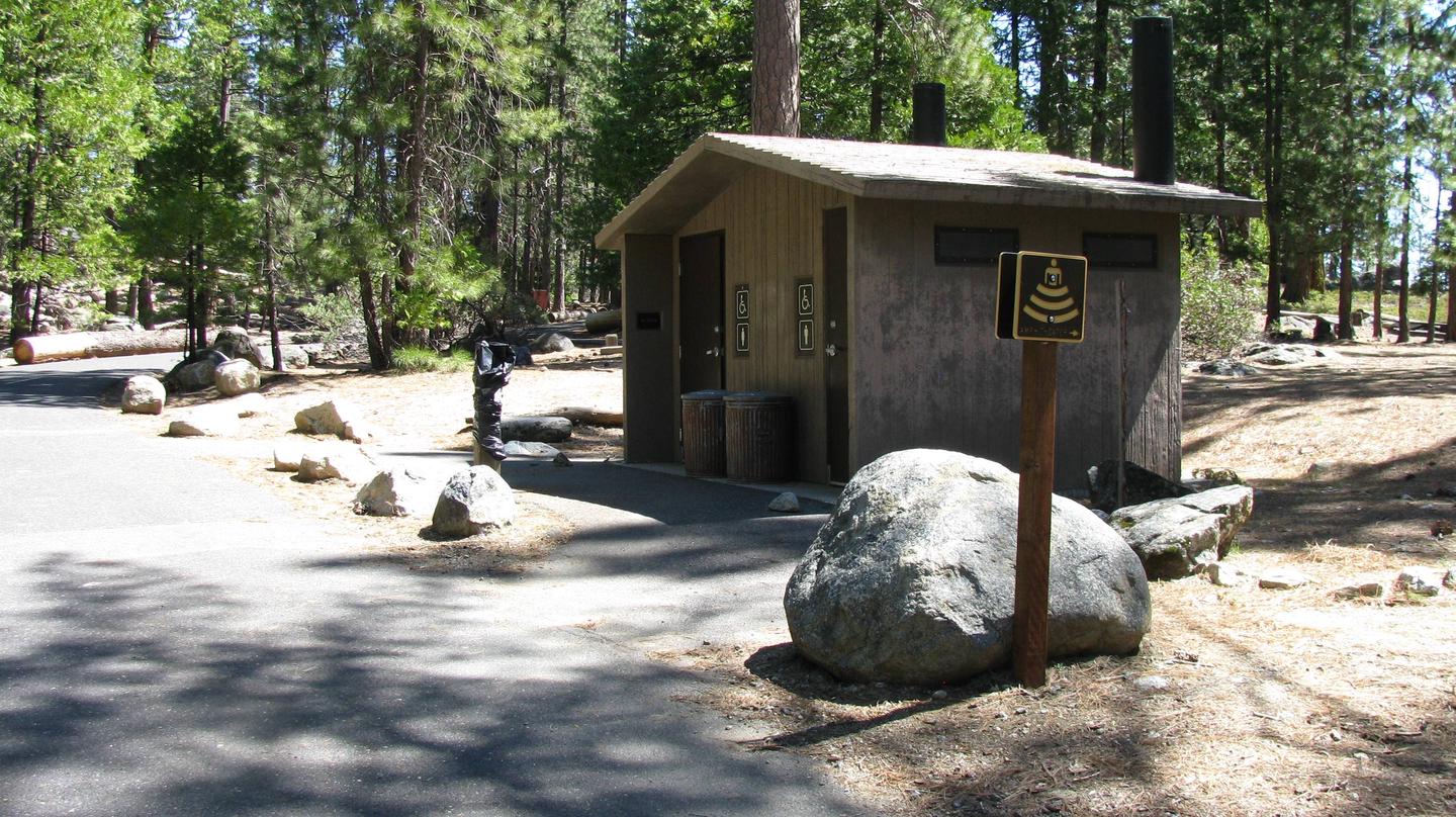
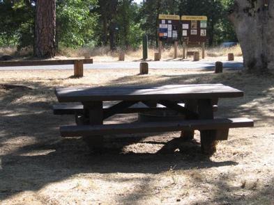
Cherry Valley has 41 single and five double family sites with paved roads and spurs. Each site has a table and campfire pit with a grill. Drinking water and vault toilets are available. The opening and closing dates are somewhat weather dependent, but the campground is generally open for the first day of fishing season, the last Friday in April.
Pets are welcome, but must be compliant with Tuolumne County leash laws.
Natural Features
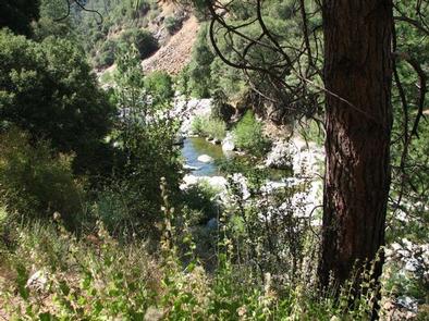
Visitors to Cherry Valley campground can enjoy easy access to nearby Cherry Lake, the largest lake in the Stanislaus National Forest. Anglers flock to Cherry Lake every year, plotting their next catch of eastern brook trout, German brown trout, kokanee salmon, and rainbow trout.
Nearby Activities
Biking
Boating
Camping
Fishing
Hiking
Hunting
Visitor center
Water sports
Wildlife viewing
Star gazing
Scenic drive
Gallery
Directions
Campground can be reached from Hwy 120 using Cherry Lake Road also known as Forest Road (FR) 1N07 or from Cottonwood Road also known as FR 1N04.
-Traveling from Hwy 120, go East from Groveland 13.8 miles turn left on Cherry Lake Road/1N07 for 23.5 miles where it becomes Cottonwood Road. Turn left and travel approximately 0.5 miles North. You will see the Cherry Valley Campground sign turn right North East .75 miles to campground.
-Traveling from Tuolumne, turn onto Buchanan Road this turns into Cottonwood Road/1N04 and travel approximately 30 miles. Turn left at Cherry Valley Campground sign. NOTE: The Tuolumne route is advisable for RV’s and towing.
Pines Group Campground attracts large families and groups friends with its convenient location, just 15 miles from the Yosemite National Park boundary in northern California. It is an ideal base camp for visitors to explore not only Yosemite, but also the fantastic wilderness areas within Stanislaus National Forest, including Carson-Iceberg, Emigrant and Mokelumne Wildernesses.
Pets are welcome, but must be compliant with Tuolumne County leash laws.
Recreation
Hike the Little Golden Forest Trail, a half-mile interpretive loop with the option for a longer two-mile loop. A short drive takes visitors to the Tuolumne River for wading and fishing.
Winter sports are very popular in the area as well. Dodge Ridge, Bear Valley and Badger Pass Ski Areas offer a variety of winter activities.
Facilities
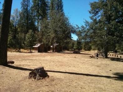
The tent-only group site is open year-round and can accommodate up to 50 people. In winter, camping is free but water and toilet paper are not provided.
Natural Features
The tranquil campground sits at an elevation of 3,200 feet, in a mixed conifer forest. The Tuolumne River is nearby, which flows for 150 mies from the central Sierra Nevada to the San Joaquin River.
Nearby Attractions
Take a scenic drive through Yosemite National Park to view its legendary waterfalls and scenery.
Nearby Activities
Climbing
Camping
Fishing
Hiking
Swimming site
Gallery
Directions
From Groveland, drive 9 miles east on State Highway 120, just past the Groveland Ranger Station on Smith Park Road. Look for signs to the campground.
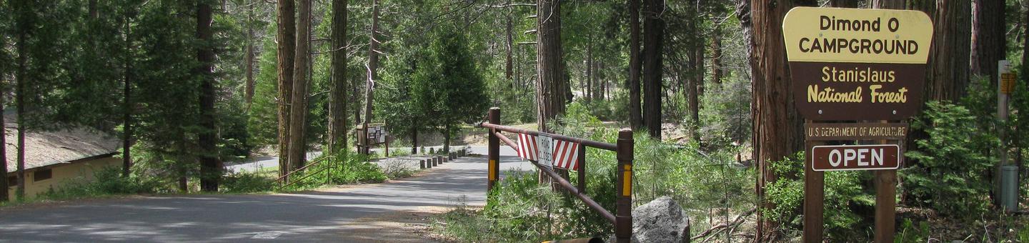
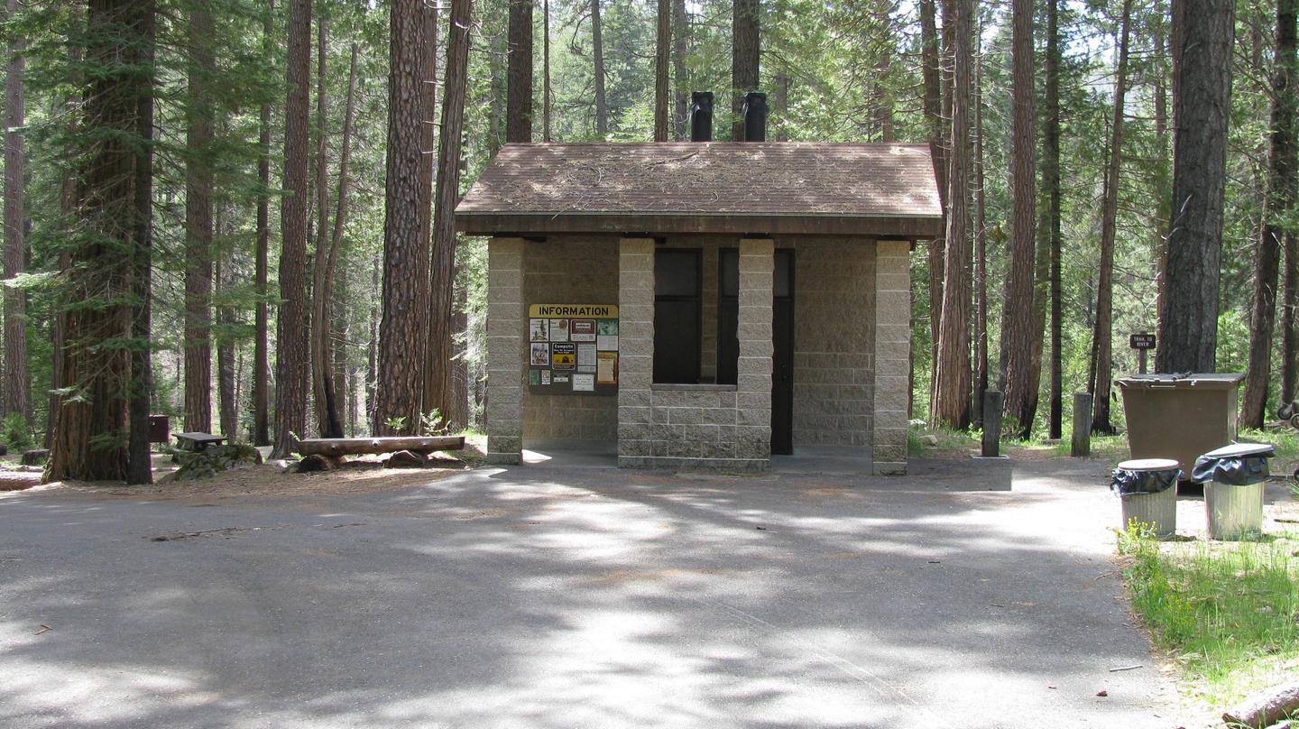
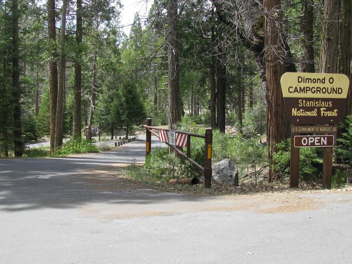
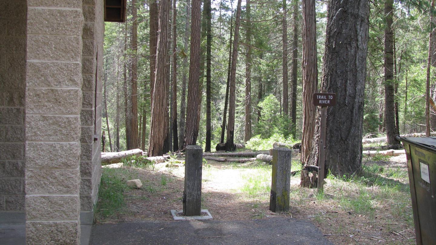
Dimond O is ideally located closest to Yosemite National Park’s Big Oak Flat entrance and Hetch Hetchy. It’s nestled near the banks of the scenic Middle Fork Toulumne River, where warm summer days can be spent wading and fly fishing in the refreshing waters.
Recreation
Nearby trails include the Carlon Falls Trail near the Carlon Day Use Area, and Yosemite National Park trails accessible from Hetch Hetchy.
The Middle Fork Toulumne River is a popular spot for swimming, wading and rainbow trout fishing.
Facilities
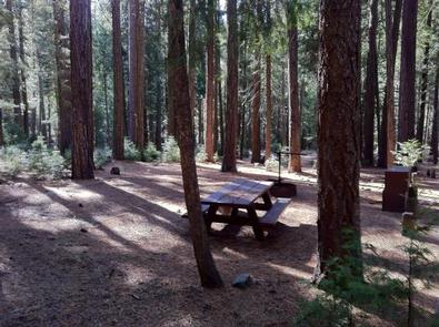
The campground offers single and double-family sites, many of which are accessible. Picnic tables and campfire rings are provided, as are accessible vault toilets and drinking water. Roads and parking spurs are paved. Firewood is available for a fee.
Natural Features
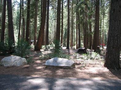
Some sites overlook the river and others are tucked among cedar and ponderosa pine trees. The Tuolumne River runs for about 150 miles from the central Sierra Nevada to the San Joaquin River.
Nearby Attractions
Take a scenic drive through Yosemite to explore its legendary landscapes.
Nearby Activities
Biking
Boating
Climbing
Camping
Fishing
Hiking
Canoeing
Rock climbing
Gallery
Directions
From the Groveland District Office, head east 15 miles on Highway 120, then turn left on Evergreen Road and travel 4 miles. The campground is located on the left.