Categories
Uncategorized

Lumsden Campground

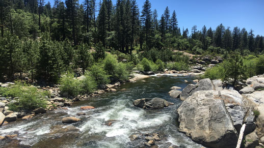
Lumsden  Campground Lumsden Campground Tuolumne River Lumsden Campground Sign Lumsden Campground Tuolumne River Lumsden Campground Restroom

Lumsden Campground is on a low elevation pine and oak forested site on the Tuolumne Wild & Scenic River approximately one mile from South Fork Campground and two miles from Lumsden Bridge Campground, within the Tuolumne-Lumsden Recreation Area.

Each site has a picnic table and a campfire pit with a grill. A vault toilet is available in the campground. Untreated water is available from river, if running. Treating water before drinking is recommended.

snag tree
CAUTION – BURNED AREA
Please use caution while in the
Rim Fire Burned Area.
Potential hazards include loose and falling rocks, flash floods, and debris flows.
Trees may have been weakened from fire damage and ongoing drought and may fall at any time.
Stay on designated roads and trails and within opened areas.
Be alert for falling objects and do not linger around large trees.
Avoid the area during high winds or heavy rain.

Nearby Activities

  • Camping
  • Hiking

Directions

From Groveland travel approximately 7.5 miles east to Ferretti Road. Turn left (north) onto Ferretti Road. Travel 1 mile and turn right (east) onto Lumsden Road/Forest Route 1N01 off of Ferretti Road. Travel approximately 5 miles to the campground which is located on the left (north) side of the road.

RVs and trailers are not recommended on Lumsden Road/Forest Route 1N10.

Lumsden Road from Lumsden Bridge to Forest Route 1N01 is closed December 15 to April 15 according to the Motorized Travel Management Plan.

Lumsden Road is subject to closure during inclement weather.

GPS Coordinates

Latitude 37° 50′ 17.5704″ N

Longitude 120° 3′ 4.1220″ W

Categories
Uncategorized

Spicer Sno-Park

The trail begins 1/4 mile from Highway 4 at the Spicer Reservoir Road parking area. The trail descends gradually approximately 2.5 miles to the Stanislaus River, where it crosses a bridge then ascends quickly out of the canyon. From this point, the trail offers a gentle, level ride to a 3-way intersection, 8 miles from the parking lot. Riders may continue on to Union and Utica Reservoirs, Summit and Elephant Rock Lakes, or the Spicer Reservoir Power House. Very experienced riders may continue on the un-groomed route along Slick Rock Road to access Lake Alpine.

Directions

GPS Coordinates

Latitude 38° 23′ 28.6800″ N

Longitude 120° 0′ 10.0800″ W

Categories
Uncategorized

Highway 4

During the winter months, Highway 4 (east of closure gate) is groomed for snowmobile use from the SNOPARK just east of Bear Valley to the top of Ebbetts Pass (approximately 15 miles) and to Highland Lakes. This trail has numerous segments, appropriate for different skill levels from novice to expert. As the trail climbs towards the pass, the views are spectacular. Opportunities exist for expert riders to continue riding on the un-groomed portion of the Highway on the east side of Ebbetts Pass. (Note: The groomed portion of Highway 4 is a multi-user trail, and is heavily used by nordic skiers as well as snowmobilers, particularly in the Lake Alpine region.)

Directions

GPS Coordinates

Latitude 38° 28′ 48.0000″ N

Longitude 120° 0′ 46.8000″ W

Categories
Uncategorized

Black Springs OHV Area

The Black Springs OHV network on the north side of Highway 4 is the main Off-Highway Vehicle riding area on the Calaveras Ranger District. With over 100 miles of connecting roads and trails, there is enjoyable riding for all levels and types of users, including four-wheel drive, all-terrain vehicles, and motorcycles.The trail network is generally accessible to Off-Highway Vehicles from early summer to fall; during the winter months, portions of the network are available for use by Over-Snow Vehicles. A map showing recommended routes is available upon request from the Ranger District Office.

Directions

GPS Coordinates

Latitude 38° 22′ 47.2800″ N

Longitude 120° 11′ 46.6800″ W

Categories
Uncategorized

Utica/Union Reservoirs

These scenic small, twin reservoirs are located off the Spicer Reservoir Road. The setting is more rustic than either Spicer Reservoir or Lake Alpine. Developed recreation facilities: Utica – Sandy Flat 11 sites, Rocky Point 12 sites, Union West 18 sites, Union East 11 sites.  The area is popular for day use, as well as paddle sports such as canoeing and kayaking. A primitive boat launch is available at Union Reservoir. Maximum boat speed is 5 mph. Utica Reservoir is managed for non-motorized boating.

Directions

Located off the Spicer Reservoir Road.

GPS Coordinates

Latitude 38° 25′ 50.7396″ N

Longitude 119° 59′ 52.7172″ W

Categories
Uncategorized

Spicer Reservoir

Spicer Reservoir has a surface area of 2,000 acres when full. Maximum speed on the lower portion of the lake is 10 mph; the upper portion, surrounded by the Carson-Iceberg Wilderness, is managed for non-motorized uses only.Spicer Reservoir visitors enjoy camping, fishing, hiking and horseback riding.

Directions

Located eight miles southwest of Highway 4 on Spicer Reservoir Road, a winding paved route where safe travel speeds average 20-30 mph.

GPS Coordinates

Latitude 38° 24′ 23.3460″ N

Longitude 120° 0′ 1.0296″ W

Categories
Uncategorized

North Fork Stanislaus River

The North Fork Stanislaus River provides outstanding opportunities for experienced whitewater enthusiasts. Boaters may paddle a five-mile, Class IV stretch of the river between Sourgrass, near Dorrington, and Calaveras Big Trees State Park, just east of Arnold. The run offers an exciting adventure through a spectacularly beautiful, heavily timbered, isolated canyon, with abundant wildlife and numerous Native American and Gold Rush era artifacts. Rafting trips may be taken with one of three commercial outfitters currently licensed to run this river (highly recommended, due to the demanding and technical nature of the river) or, you may organize a private trip. Whichever way you go, please be sure to "Leave No Trace" of your visit to the North Fork, so that future users will find it as beautiful and pristine as you did.

Directions

GPS Coordinates

Latitude 0° 0′ 0.0000″ S

Longitude 0° 0′ 0.0000″ W

Categories
Uncategorized

Lake Alpine

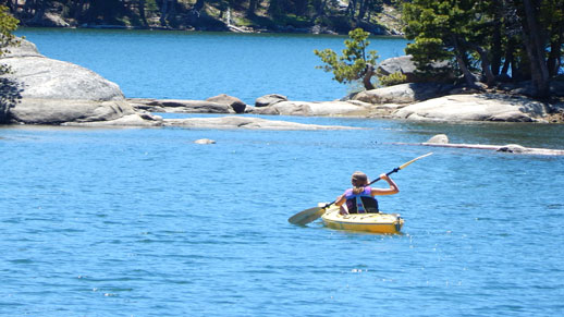
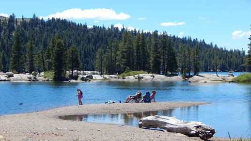
Lake Alpine is a small, scenic reservoir located just east of the community of Bear Valley on State Highway 4, at an elevation of 7,350 feet. It is the central attraction of the "Lake Alpine Recreation Complex" on the Calaveras Ranger District. Summer visitors enjoy swimming, boating, hiking, camping, fishing, picnicking and biking. Winter visitors can use a California SNOPARK located at the Highway 4 winter closure gate. Groomed or marked trails are maintained throughout the area.

Fish Your National Forests: This site can be accessed by Passenger Car; Fish available include: Trout; Types of fishing available include: Shore, Motorized boat, Float tube, Fly, Spin, Bait; ADA Accessible fishing access with boat launch

Directions

GPS Coordinates

Latitude 38° 28′ 37.9200″ N

Longitude 120° 0′ 18.0000″ W

Categories
Uncategorized

Sourgrass Day Use

Sourgrass Day Use Entrance Sign Sourgrass Day Use Area North Fork Stanislaus River Sourgrass Day Use Warning Sign Sourgrass Day Use Pack In Pack Out Sign


Day use parking for approximately 15 cars in addition to picnic area. Fishing and hiking.

Directions

Located outside Dorrington on North Fork Stanislaus River at Sourgrass/Board’s Crossing Road, across river from Wa Ka Luu Hep Yoo (Wild River) Campground.

GPS Coordinates

Latitude 38° 19′ 19.9200″ N

Longitude 120° 12′ 50.4000″ W

Categories
Uncategorized

Lake Alpine Recreation Area

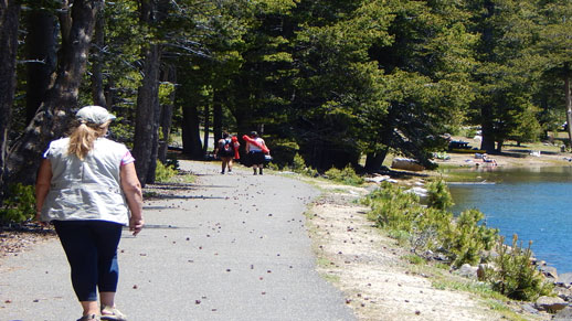
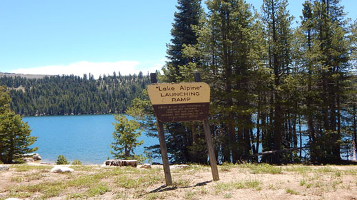
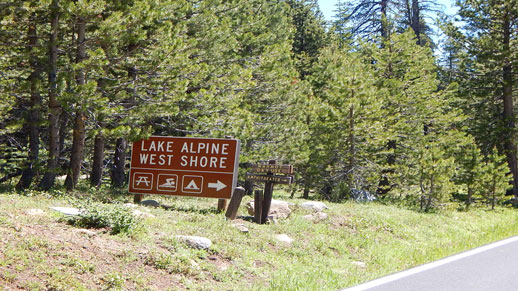
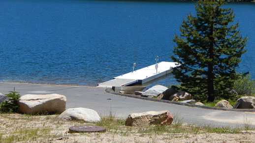
Lake Alpine on Highway 4 Lake Alpine Trail Lake Alpine Launching Ramp Lake Alpine Entrance Lake Alpine Boat Ramp Lake Alpine on Highway 4Lake Alpine


Boat launch with parking for 60 cars and trailers. Speed limit on lake is 10 mph. No motorized boats on lake at night. Large boats not recommended.

Developed Campgrounds have no trailer hook-ups.

Directions

Lake Alpine is located on Highway 4, fifty miles east of Angel’s Camp.

GPS Coordinates

Latitude 38° 28′ 45.1200″ N

Longitude 119° 59′ 27.6000″ W