Categories
Uncategorized

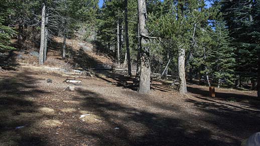
Sand Flat Campground

Sand Flat Campground Sand Flat Campground Entrance Sign Sand Flat Campground Restroom Sand Flat Campground Sand Flat Sign

Sand Flat Campground is located six miles from the junction of Clark Fork Road and Highway 108. It is about 25 miles east of the Summit Ranger Station. There are 53 drive-in sites available and 15 walk-in sites, a total of 68. Each site has a table and a fire ring. Restrooms are vault toilets (some newer units are fully accessible) Four well supply potable water by hand pumps. There is a fee for parking extra cars.

An RV dump station is located on the entrance road to Clark Fork Campground. Campers staying at Clark Fort or Sand Flat Campgrounds may use the dump station without charge. Other users are charged a modest fee. 

Nearby Activities

  • Camping
  • Recreational vehicles

Directions

26 miles east of Pinecrest on Clark Fork Road, near Clark Fork Campground and Iceberg Meadow Trailhead.

GPS Coordinates

Latitude 38° 24′ 15.4656″ N

Longitude 119° 47′ 16.5624″ W

Categories
Uncategorized

Pigeon Flat Campground

Pigeon Flat Nearby RiverPigeon Flat TrailPigeon Flat CampgroundPigeon Flat Information BoardPigeon Flat SignPigeon Flat RestroomPigeon Flat View


Pigeon Flat Campground is a walk-in campground situated along the banks of the Stanislaus River. It is located 24 miles east of the Summit Ranger Station on Highway 108. NO cars are allowed past the main gate into the camping area. There are a total of 7 sites. Each site has a table and metal fire ring. The parking area is dirt-surfaced. Restrooms are vault toilets. Potable water is not available. A fee is charged for extra vehicle parking.

Nearby Activities

  • Camping

Directions

24 miles east of Pinecrest on Highway 108.

GPS Coordinates

Latitude 38° 20′ 23.6760″ N

Longitude 119° 48′ 14.0040″ W

Categories
Uncategorized

Niagara OHV Campground

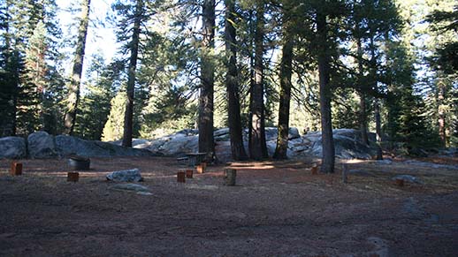
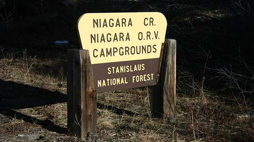
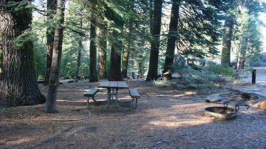
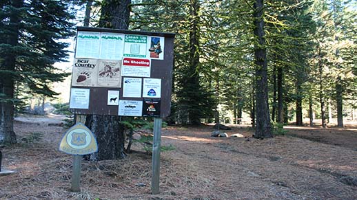
Niagara Creek OHV Campground Niagara Creek OHV Campground Niagara Creek Campground Restroom


Niagara OHV Campground situated in a mixed conifer forest. It is located on Forest Road 5N01. Turn right off of Highway 108 at Eagle Meadow Road (5N01), about 15 miles from the Summit Ranger Station and follow Eagle Meadow Road approximately 3 miles to the campground. There are 10 sites; each site has a table and a fire ring. The main road and parking pads are dirt-surfaced. Potable water is not available. Toilets are vault-style. Fee charged for extra vehicle parking.

For more information and other OHV riding opportunities on Forest Service lands, please visit the California State Off Highway Motor Vehicle Recreation Website at www.ohv.parks.ca.gov.

Nearby Activities

  • Camping

Directions

19 miles east of Pinecrest, about 3 miles off Highway 108 on Eagle Meadow Road.

GPS Coordinates

Latitude 38° 18′ 38.8548″ N

Longitude 119° 53′ 25.1340″ W

Categories
Uncategorized

Niagara Creek Campground

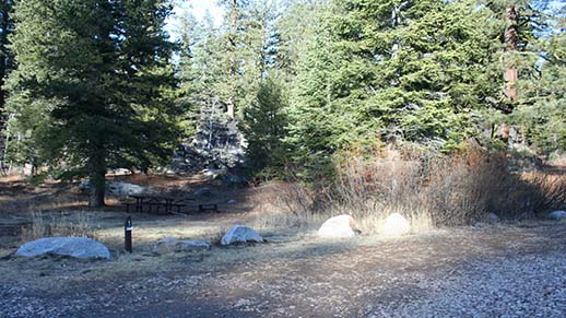
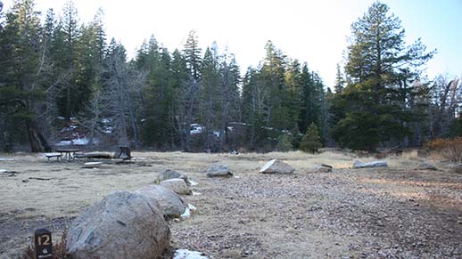
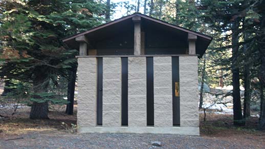
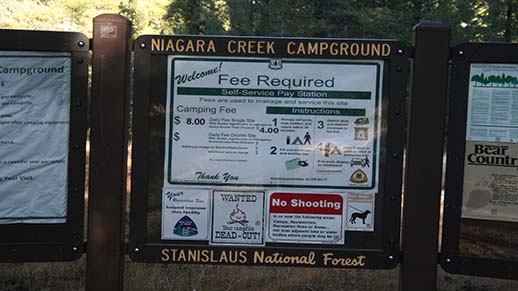
Niagara Creek Campground Information Board Niagara Creek Campground Niagara Creek Campground Sign Niagara Creek Campground Restroom


Niagara Creek Campground situated in a mixed conifer forest. It is located on Forest Road 5N01. Turn right off of Highway 108 at Eagle Meadow Road (5N01), about 15 miles from the Summit Ranger Station. There are 10 sites; each site has a table and a fire ring. The main road and parking pads are dirt-surfaced. Potable water is not available. Toilets are vault-style. Fee charged for extra vehicle parking.

Nearby Activities

  • Camping
  • Recreational vehicles

Directions

17 miles east of Pinecrest, 1 mile off Highway 108 on Eagle Meadow Road.

GPS Coordinates

Latitude 38° 19′ 26.0400″ N

Longitude 119° 55′ 1.2000″ W

Categories
Uncategorized

Mill Creek Campground

Mill Creek Campground Mill Creek Campground Information Board Mill Creek Campground StreamMill Creek Campground Restroom


Mill Creek Campground situated in a mixed conifer forest with a stand of beautiful aspens. It is located on Highway 108, about 14 miles from the Summit Ranger Station. There are 17 sites; each site has a table and a fire ring. The main road and parking pads are dirt-surfaced. Potable water is not available. Toilets are vault-style. Fee charged for extra vehicle parking.

Nearby Activities

  • Camping
  • Recreational vehicles

Directions

14 miles east of Pinecrest on Highway 108.

GPS Coordinates

Latitude 38° 18′ 5.7600″ N

Longitude 119° 56′ 28.3200″ W

Categories
Uncategorized

Meadowview Campground

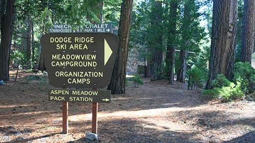
Meadowview Campground Meadowview Sign Meadowview Campground


Meadowview Campground is situated in the Pinecrest Basin approximately one mile from the Pinecrest Lake Day Use Area and ½ mile off of Highway 108 and the Summit Ranger Station. Campers are welcome on a first-come, first-served basis. It has 100 camping sites, each of which has a metal stove/ fire pit and a table. Roads and parking areas, which vary in length, are paved. Water hydrants are located to serve several sites. All restrooms have flush toilets and sinks. This campground fills nightly on weekends and many weekdays between Memorial Day and Labor Day. It is recommended that you arrive early in the day if you plan to find an available site.

Nearby Activities

  • Camping
  • Fishing
  • Recreational vehicles

Directions

Off Dodge Ridge Road near Pinecrest Campground within the Pinecrest Recreation Area.

GPS Coordinates

Latitude 38° 11′ 17.1600″ N

Longitude 120° 0′ 11.1600″ W

Categories
Uncategorized

Herring Creek Campground

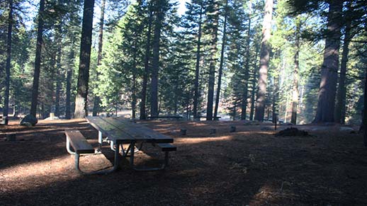
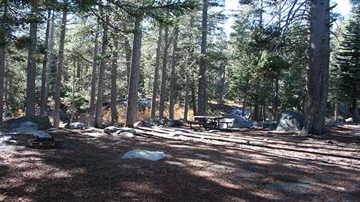
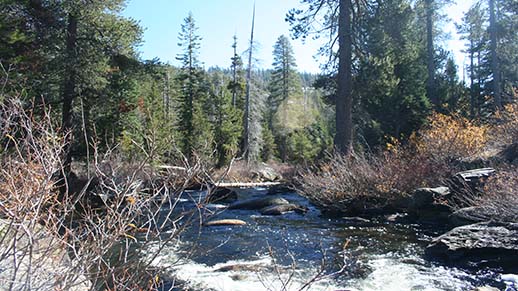
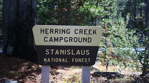
Herring Creek Campground Herring Creek Campground Herring Creek Campground Sign Herring Creek Campground Herring Creek Campground


Herring Creek Campground situated in a mixed conifer forest near Herring Creek. It is located on Forest Road 4N12; turn right onto Herring Creek Road (4N12) off of Highway 108, about 3 miles from the Summit Ranger Station. The campground is approximately 9 miles from the Summit Ranger Station. There are 7 sites; each site has a table and a fire ring. The main road and parking pads are dirt-surfaced. Potable water is not available. Toilets are vault.

Nearby Activities

  • Camping
  • Recreational vehicles

Directions

7 miles from Highway 108 on Herring Creek Road.

GPS Coordinates

Latitude 38° 14′ 41.2008″ N

Longitude 119° 55′ 58.3716″ W

Categories
Uncategorized

Summit Ranger District Campgrounds

Welcome to the Summit Ranger District, which encompasses the upper Highway 108 corridor on the Stanislaus National Forest. Large motor homes and trailers cannot be accommodated in some campgrounds. Electric and sewer hookups are not available. Fee RV dump stations are available at Clark Fork Campground, Dardanelle Resort and near Pinecrest on Highway 108 (closed on Sunday), one-half mile west of Summit Ranger District office. For the most current information please call the Summit Ranger District at (209) 965-3434, or stop by the office on Highway 108 at the turn-off to Pinecrest Recreation Area.

Nearby Activities

  • Camping
  • Fishing
  • Horseback riding
  • Recreational vehicles
  • Horse camping

Directions

GPS Coordinates

Latitude 0° 0′ 0.0000″ S

Longitude 0° 0′ 0.0000″ W

Categories
Uncategorized

Fence Creek Campground

Fence Creek CampgroundFence Creek Campground Sign

Fence Creek Campground situated in a mixed conifer forest high above the Clark Fork of the Stanislaus River. It is located on Forest Road 6N06 off of Clark Fork Road. Turn left off of Highway 108 at Clark Fork Road, about 20 miles from the Summit Ranger Station. There are 38 sites; each site has a table and a fire ring. The main road and parking pads are dirt-surfaced. Potable water is not available. Toilets are vault-style. Fee charged for extra vehicle parking.

Nearby Activities

  • Camping
  • Recreational vehicles

Directions

21 miles east of Pinecrest on Fence Creek Road, just off Clark Fork Road.

GPS Coordinates

Latitude 38° 22′ 0.0084″ N

Longitude 119° 52′ 18.7608″ W

Categories
Uncategorized

Eureka Valley Campground

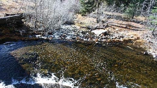
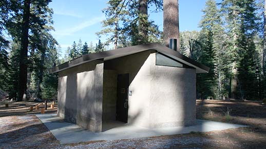
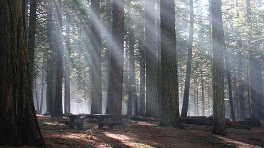
Eureka Valley CampgroundEureka Valley Nearby RiverEureka Valley Entrance SignEureka Valley RestroomEureka Valley CampgroundEureka Valley Information Board


Eureka Valley Campground is situated along the banks of the Stanislaus River. It is located 26 miles east of the Summit Ranger Station on Highway 108. There are a total of 28 camping sites; two double sites and four walk-in sites. The main road and parking pads are dirt-surfaced. Restrooms are vault toilets. Water is from 3 wells with hand pumps. A fee is charged for extra vehicle parking. A trail next to the host site leads to the river. 

Nearby Activities

  • Camping
  • Recreational vehicles

Directions

26 miles east of Pinecrest on Highway 108.

GPS Coordinates

Latitude 38° 20′ 19.3200″ N

Longitude 119° 46′ 51.9600″ W