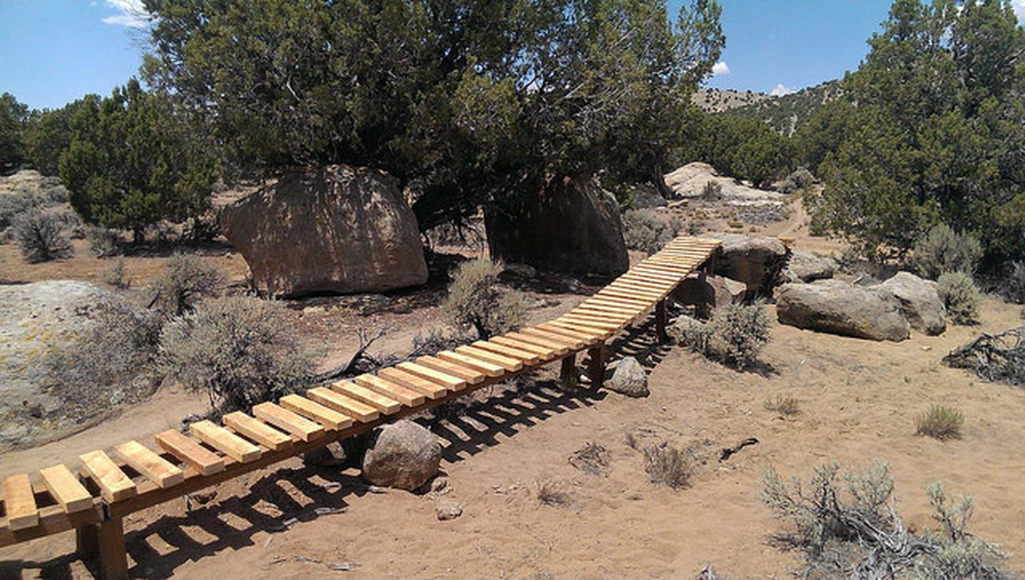
Iron Hills Trail System: 20+ miles
Recommended uses: mountain biking, hiking, and trail running
Difficulty: beginner, intermediate and advanced
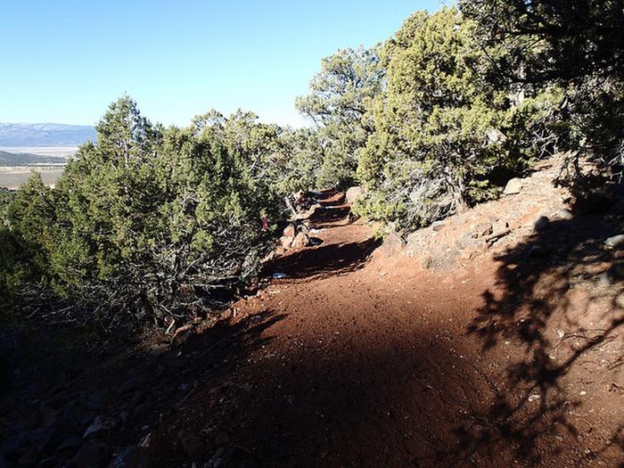
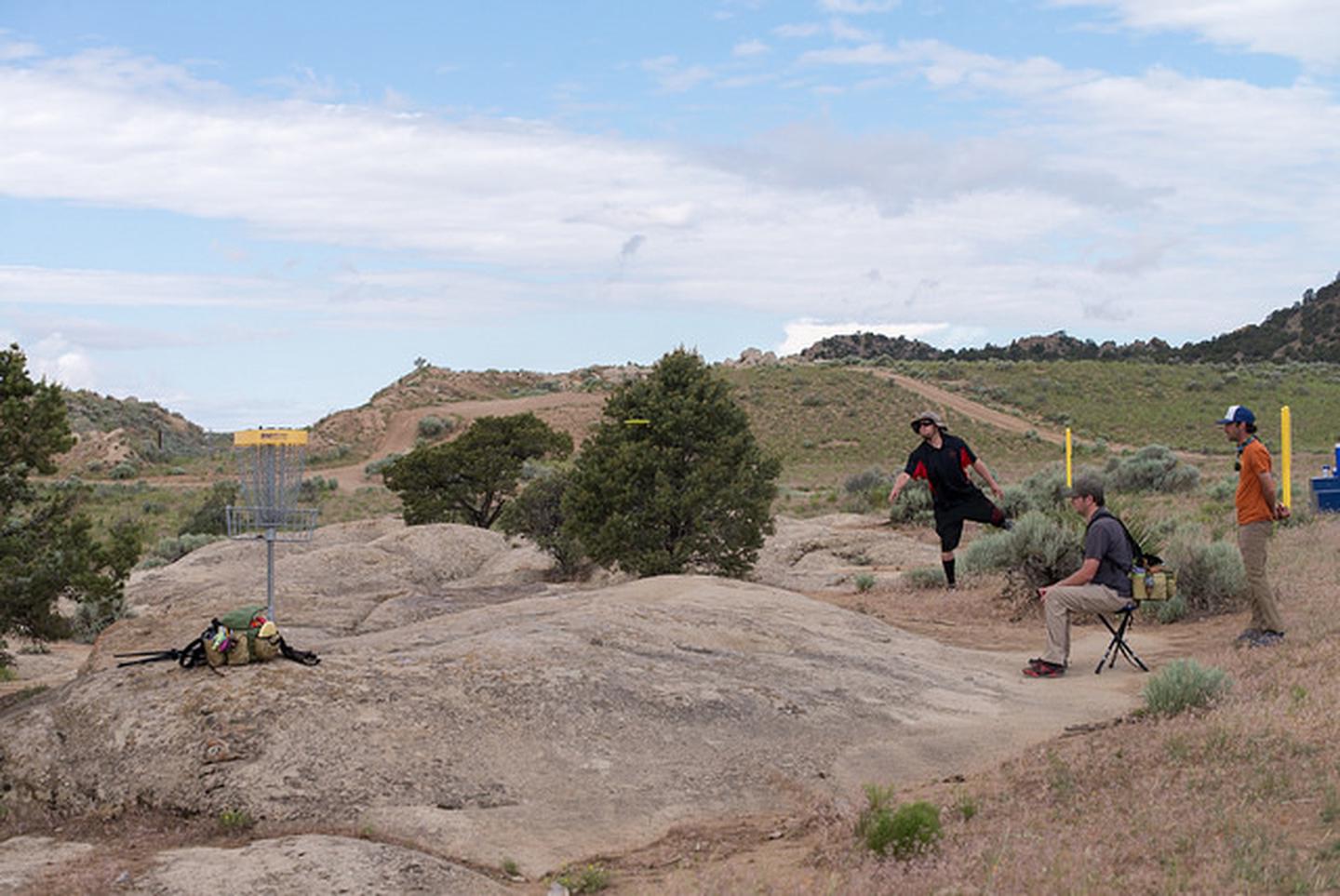
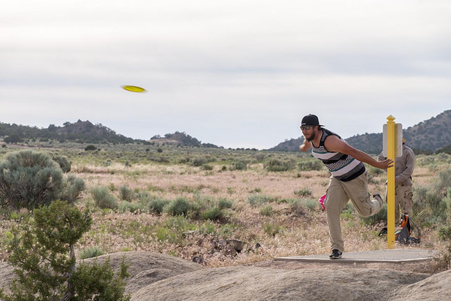
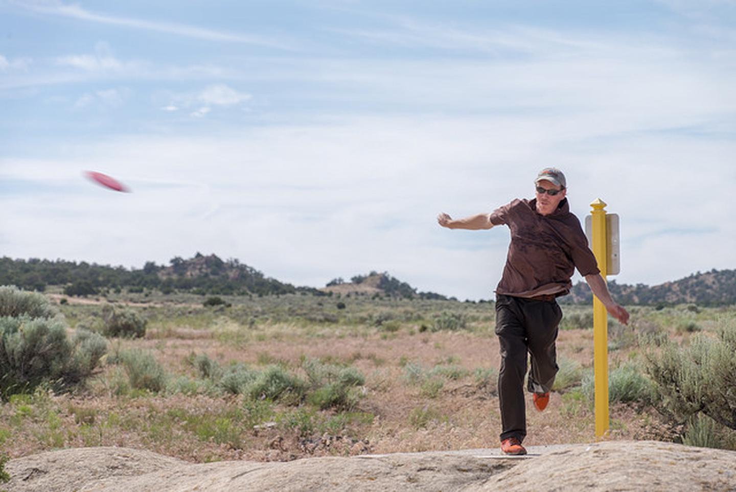
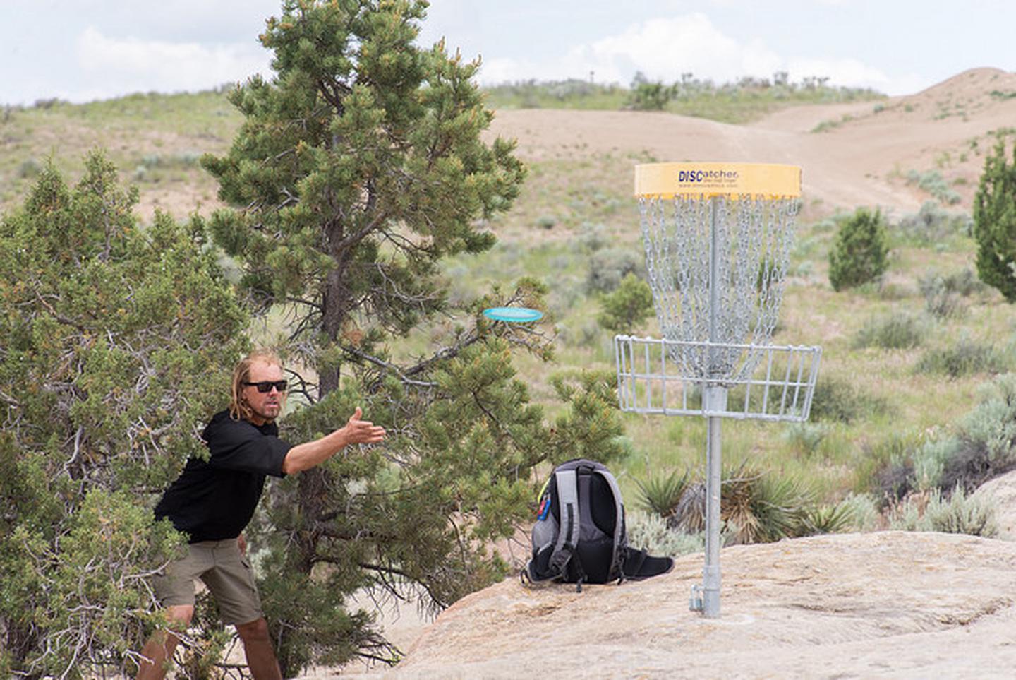
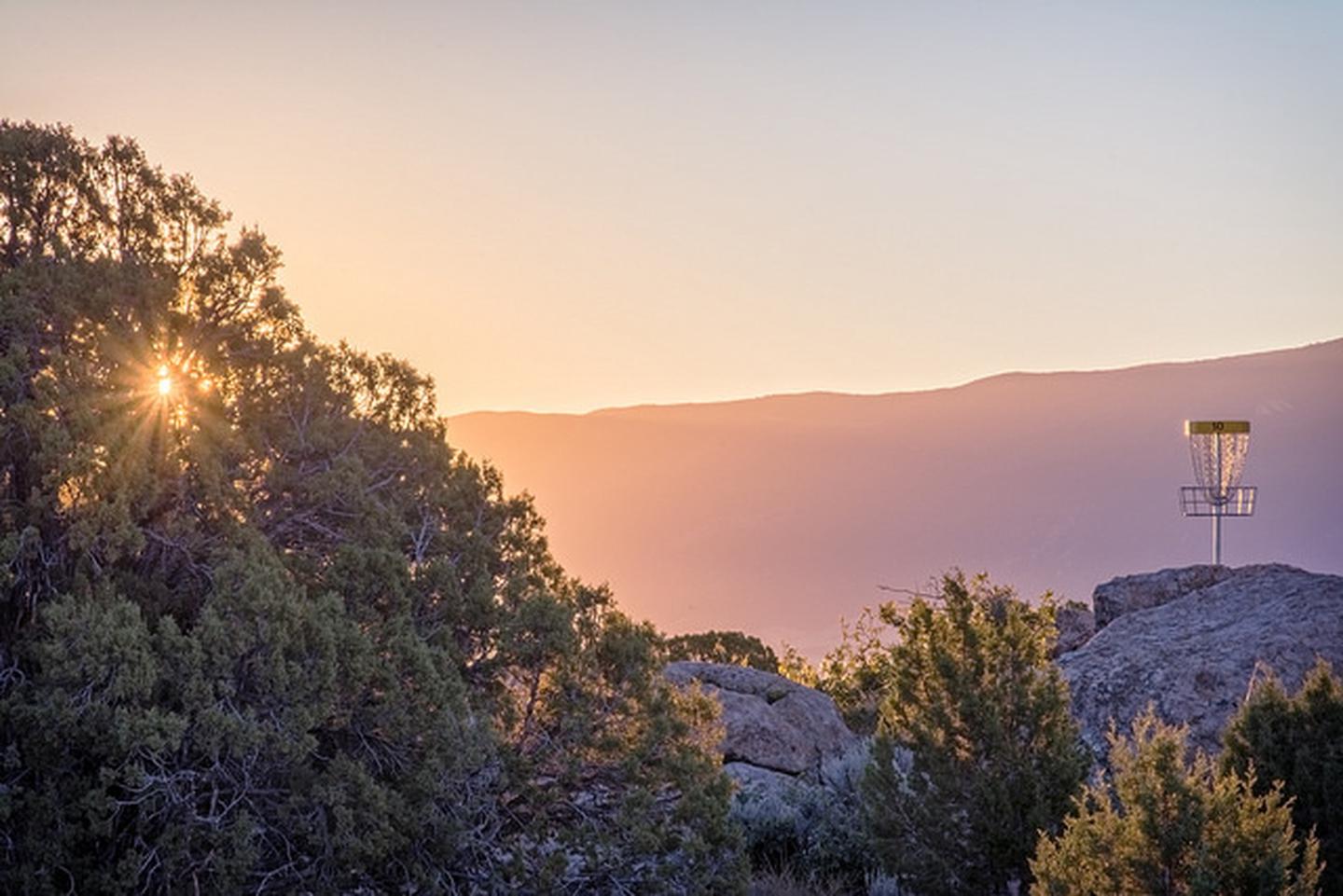
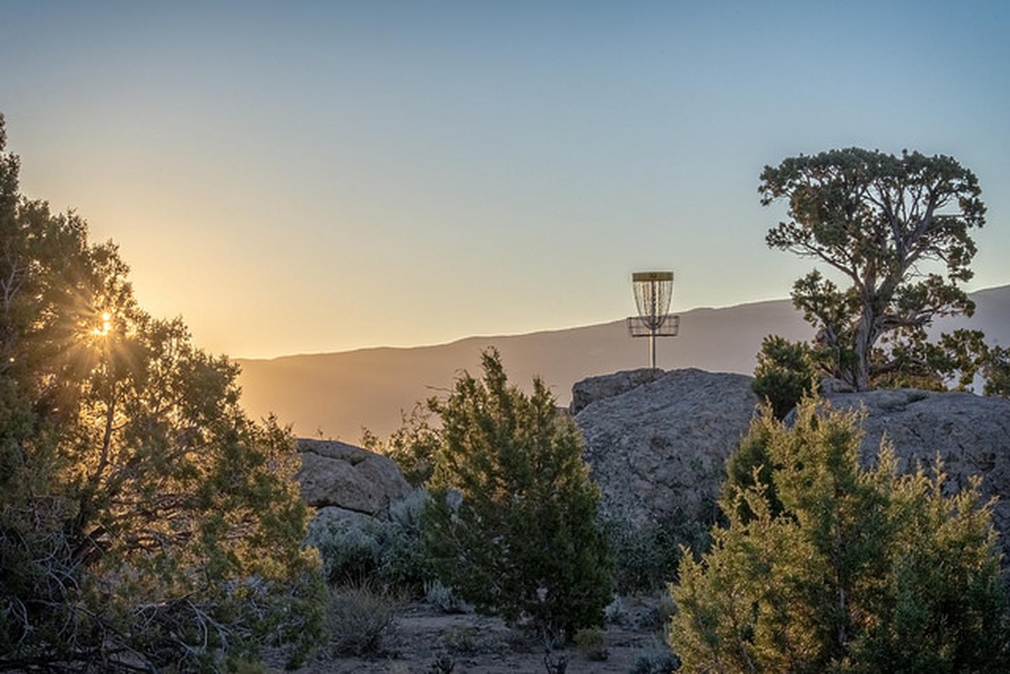
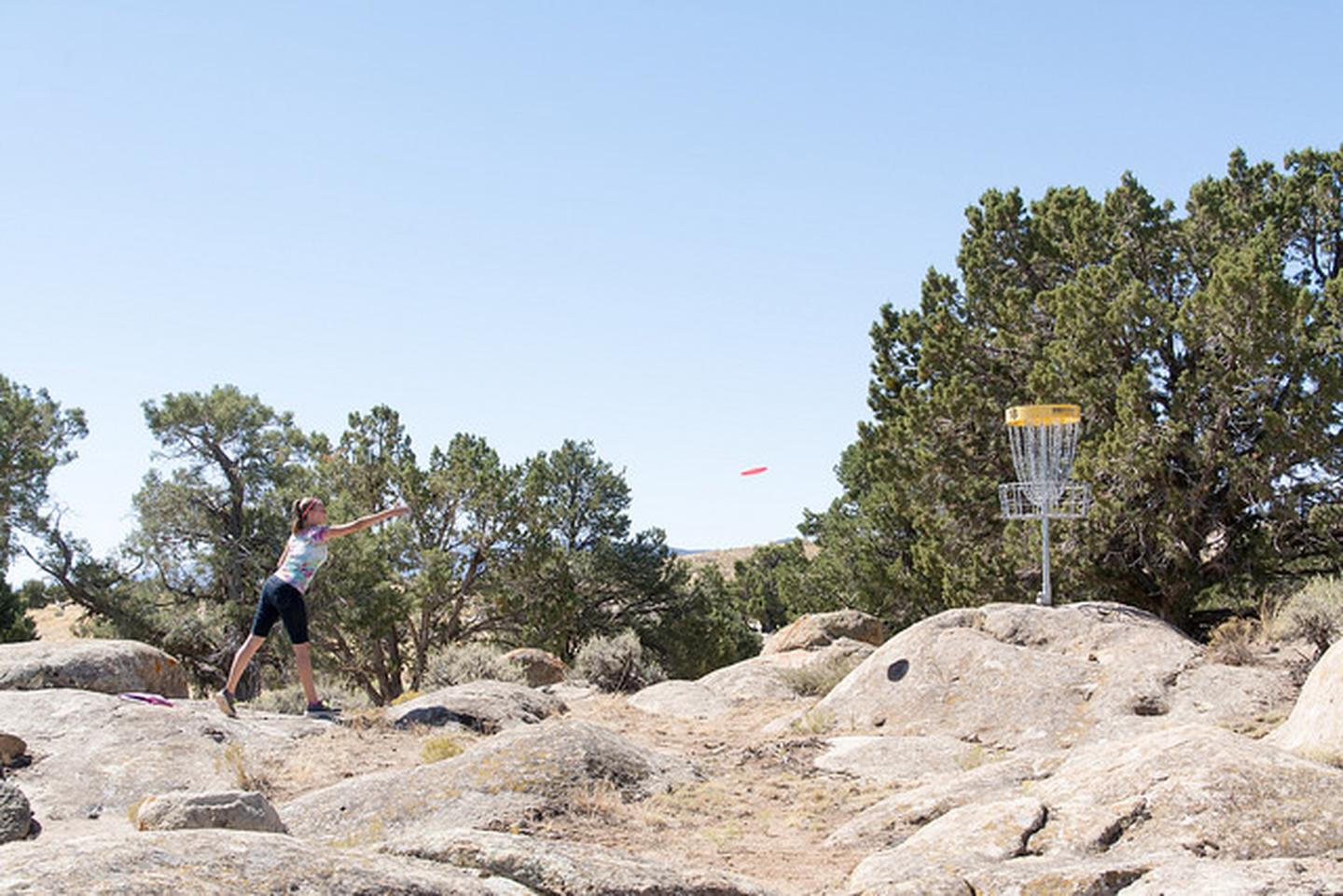
The “C” Overlook is a trailhead and Scenic Overlook located on the east side of Cedar City. This trailhead is for mountain biking, hiking and trail running. Site includes gravel parking, kiosk and benches. Currently there is 20+ miles of built trail with another 30 miles of trail planned. Highlands, Green Hollow, Boulder Dash, Lava Flow, Black Ops and Iron Giant trails are optimized as downhill flow trails. “C” Overlook is a perfect spot to shuttle “C” Trail, Highlands, Green Hollow, Boulder Dash, Lava Flow and Iron Giant.
The “C” Overlook offers a wide expanse view of Cedar City and the surrounding mountains, desert, and fields. The viewing area is directly above the giant, white “C” on the Mountainside that can be seen from anywhere down in the city.
Winter use: Avoid trail use when trails are muddy. Use trail when they are frozen. Snowy condition are great for fat bikes and snowshoes.
Directions
Take exit 59 off the I-15 and head east on Utah Highway 56/200 North (1mi). Turn right on North Main Street(0.2mi). Turn left onto UT-14 East/East Center Street (4.9mi). Turn right on to Right Hand Canyon (4.3mi). “C” Overlook will be on the right hand side.
GPS Coordinates
Latitude 37° 38′ 32.9748″ N
Longitude 113° 2′ 4.3260″ W