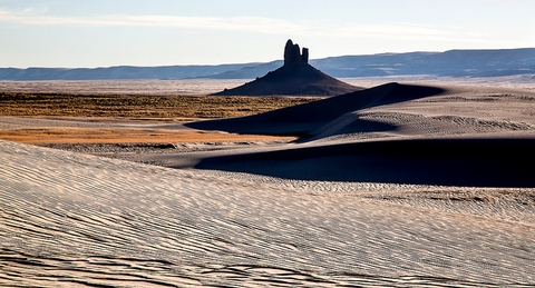
At 7100 ft elevation, Boar’s Tusk is a dormant volcanic structure rising 400 ft above the valley floor. Used as a landmark for hikers, mountain bikers and railroad travelers, this distinct feature is the core of a long dormant volcanic eruption. The Lamporite material that makes up the feature dates back 2.5 million years.
A high-clearance vehicle is recommended for the access road.
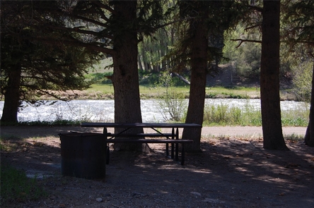
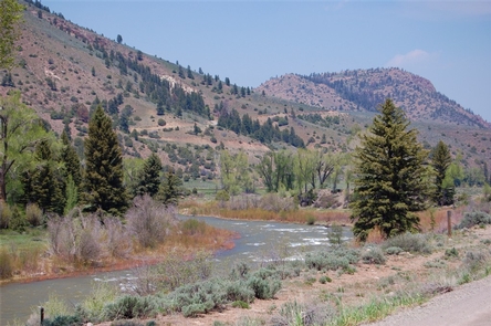
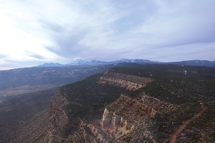
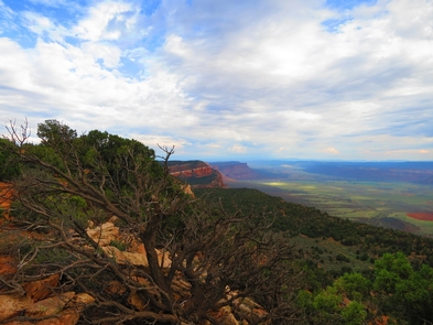
Gallery
Directions
US Highway 191 north to mile marker 10. East on to County 4-17 eighteen miles. West onto the Boar’s Tusk access route three miles to the feature. A high-clearance vehicle is recommended for the access road.
GPS Coordinates
Latitude 41° 57′ 40.9068″ N
Longitude 109° 11′ 58.7184″ W