Categories
Uncategorized

Upper Lone Pine Day-Use Area

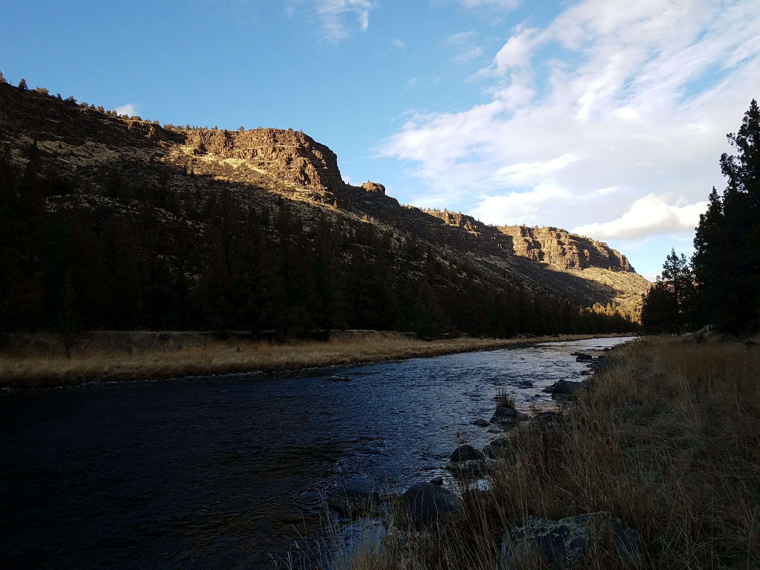
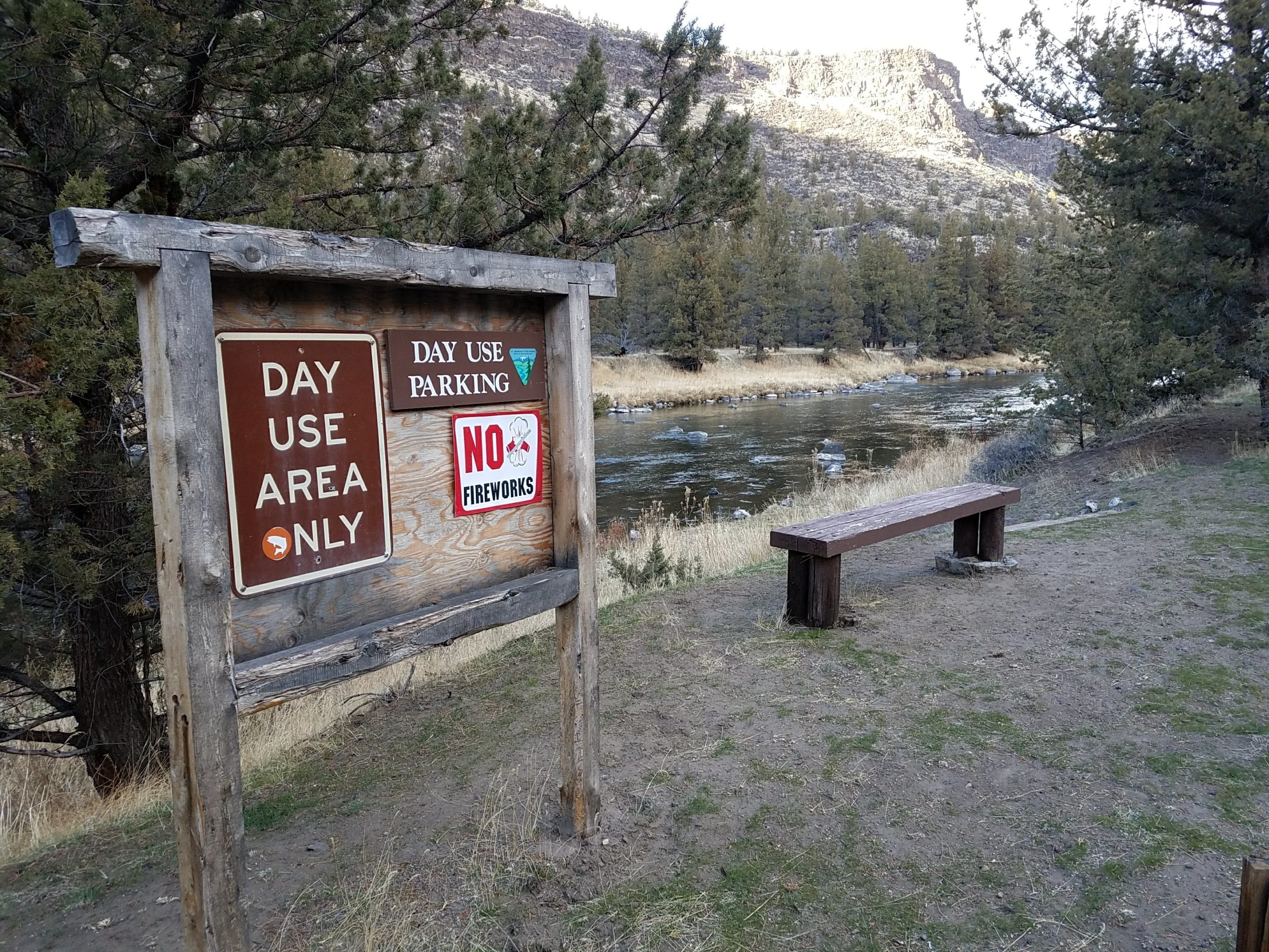
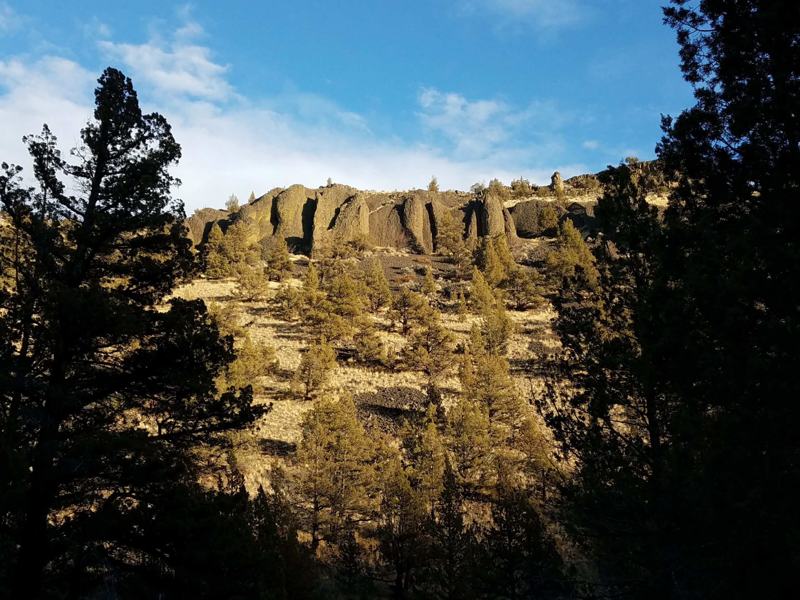
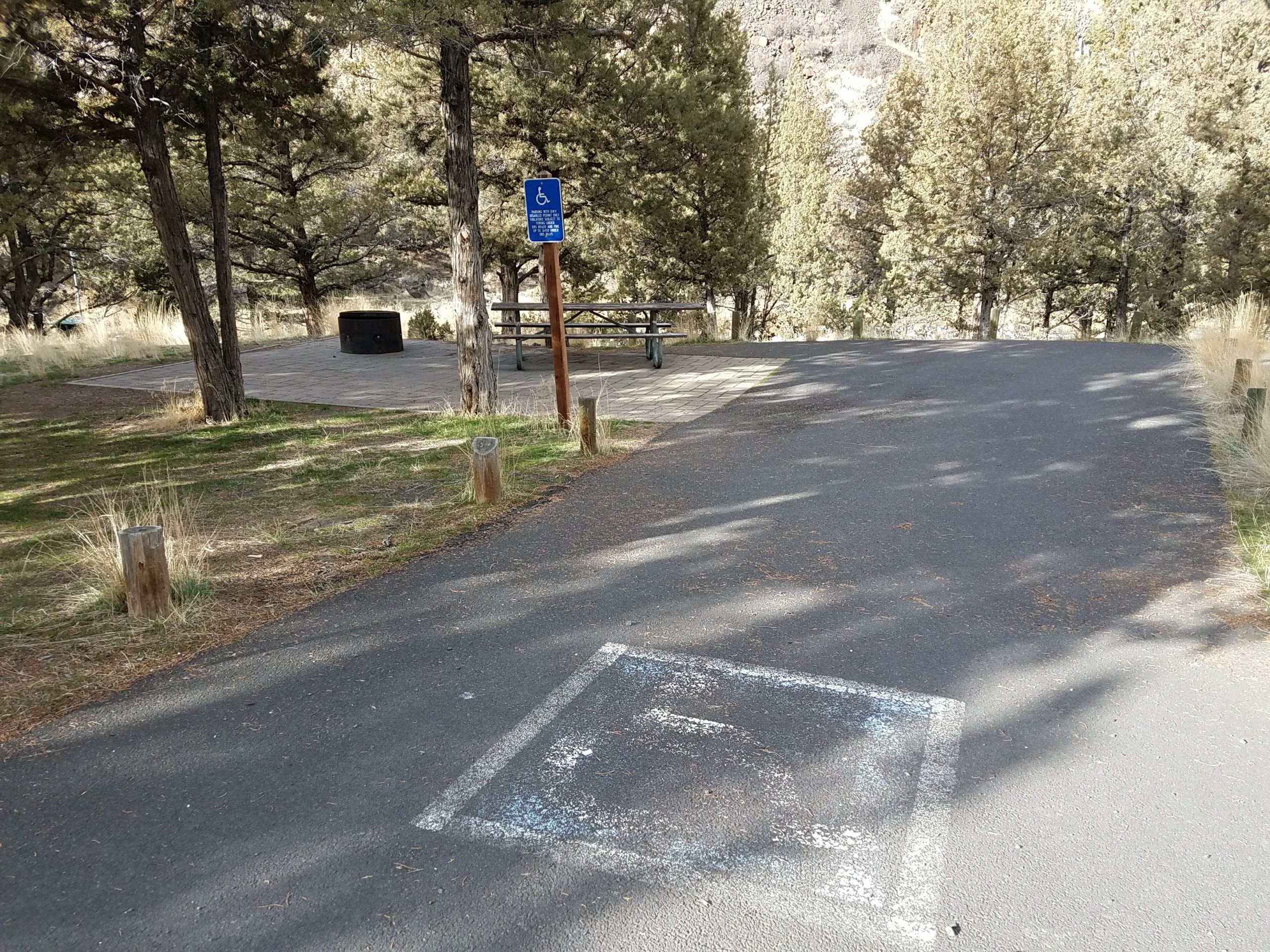
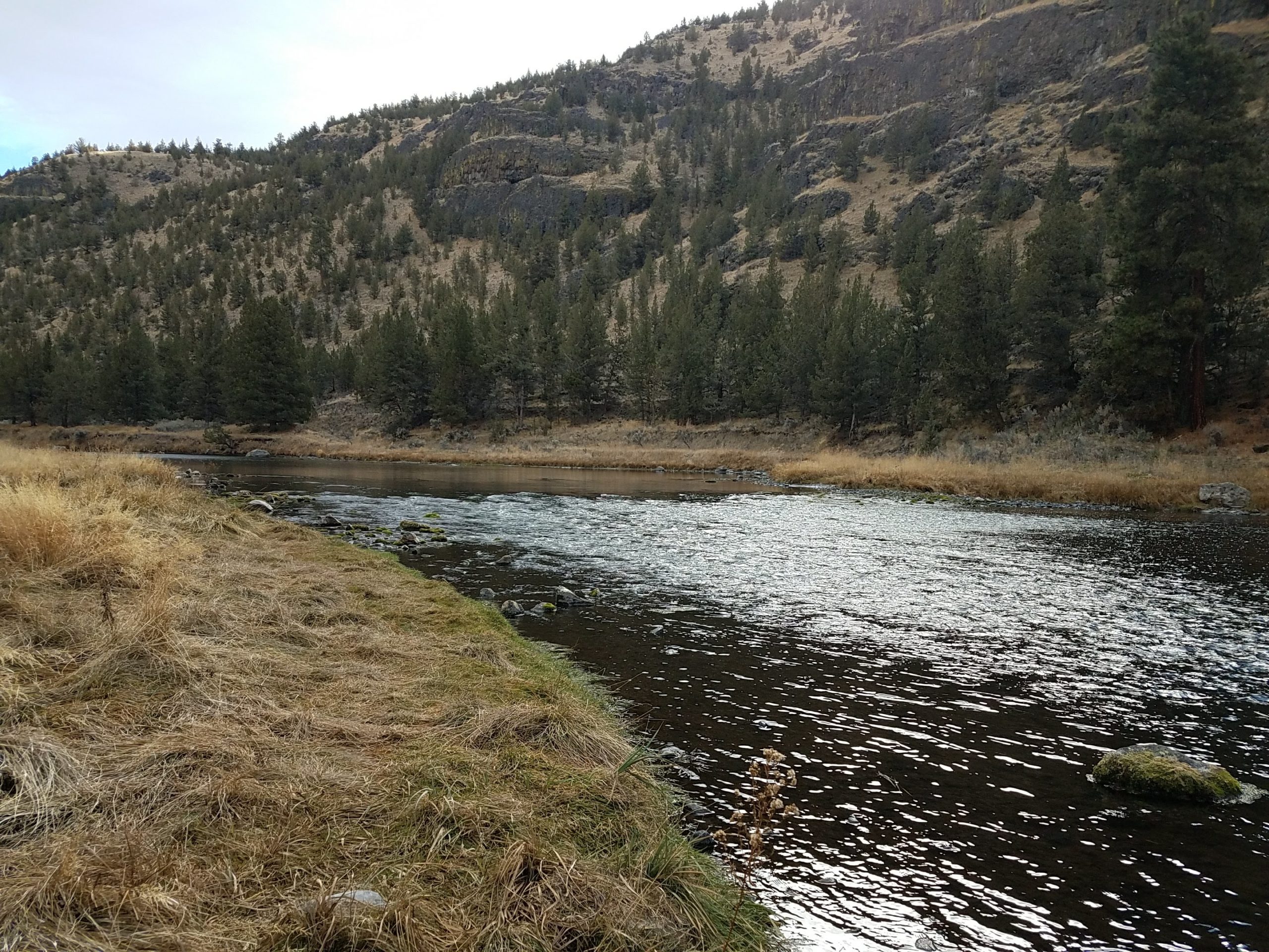
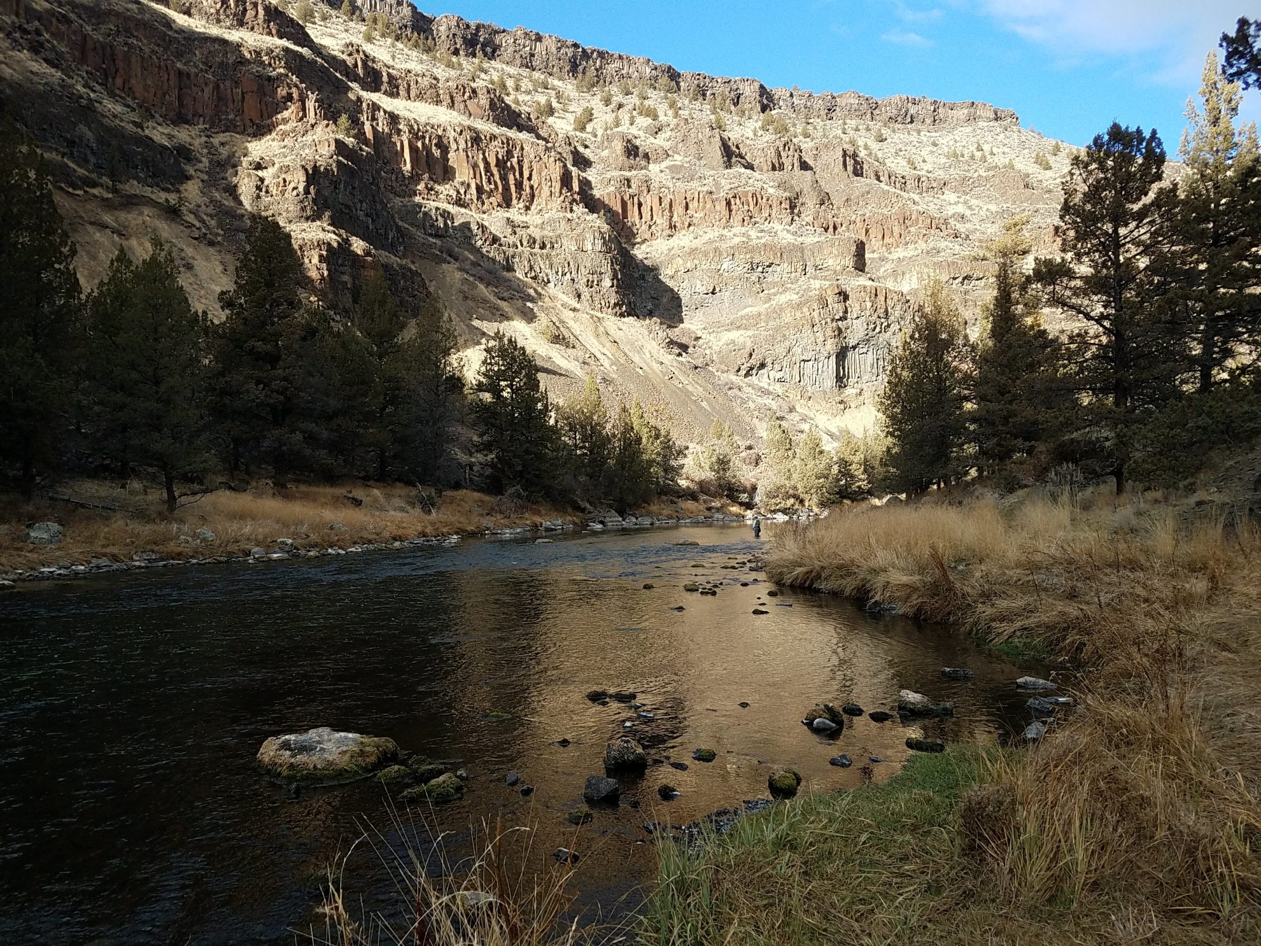
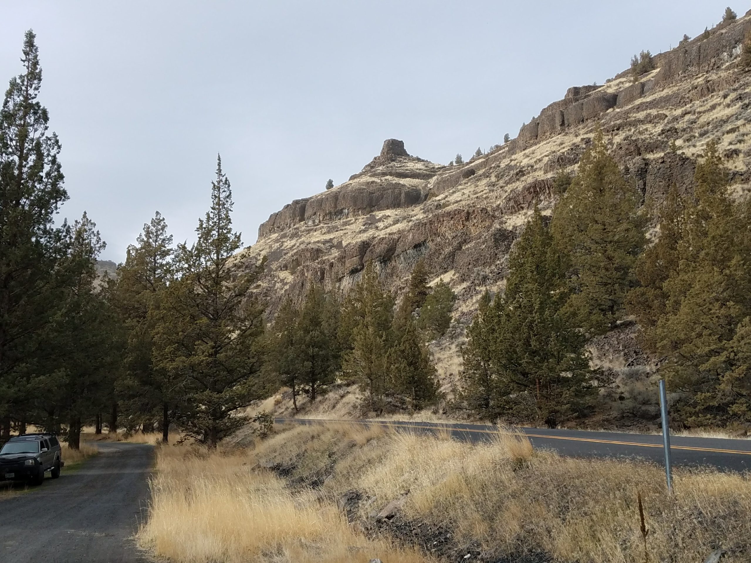
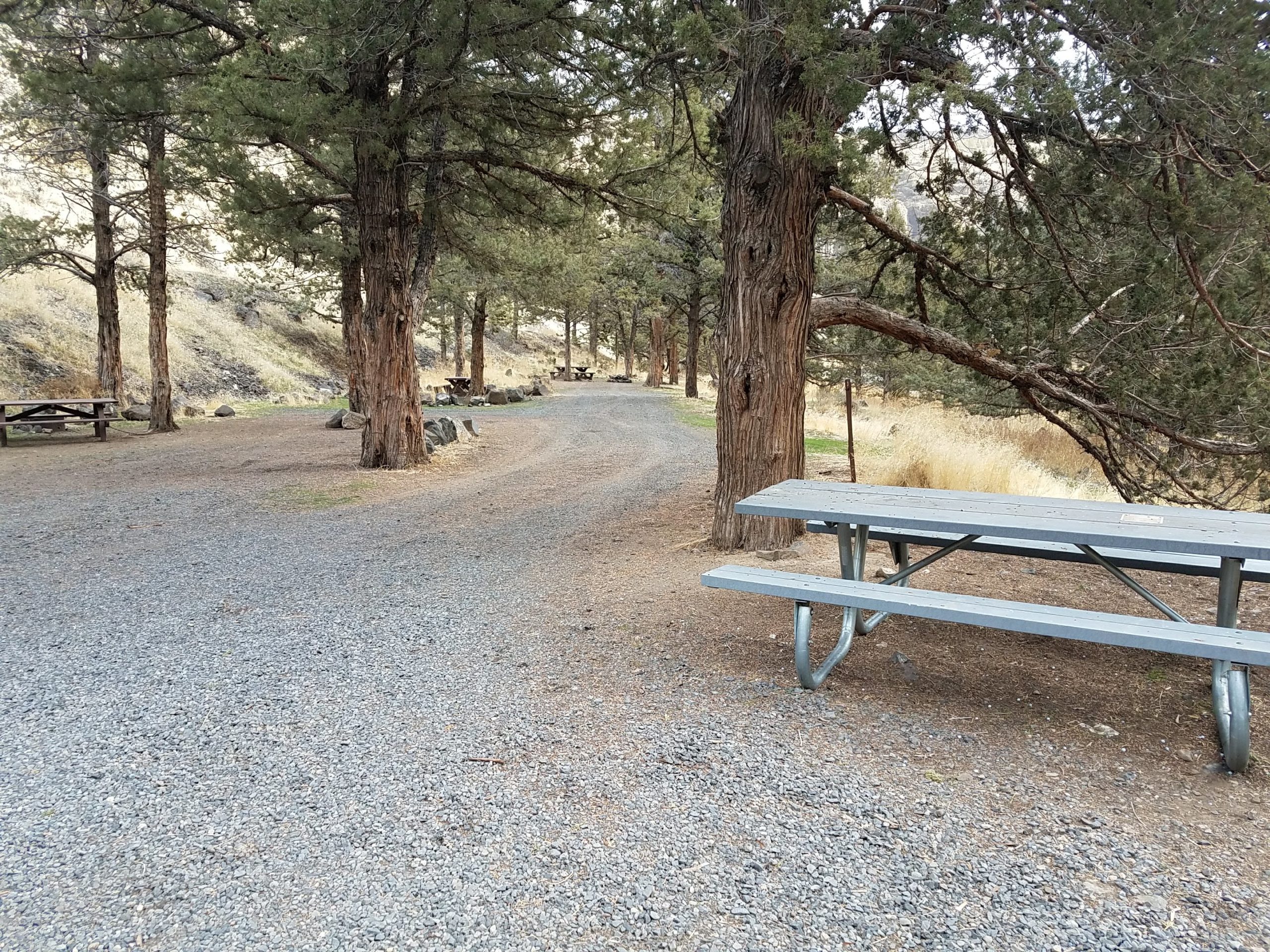
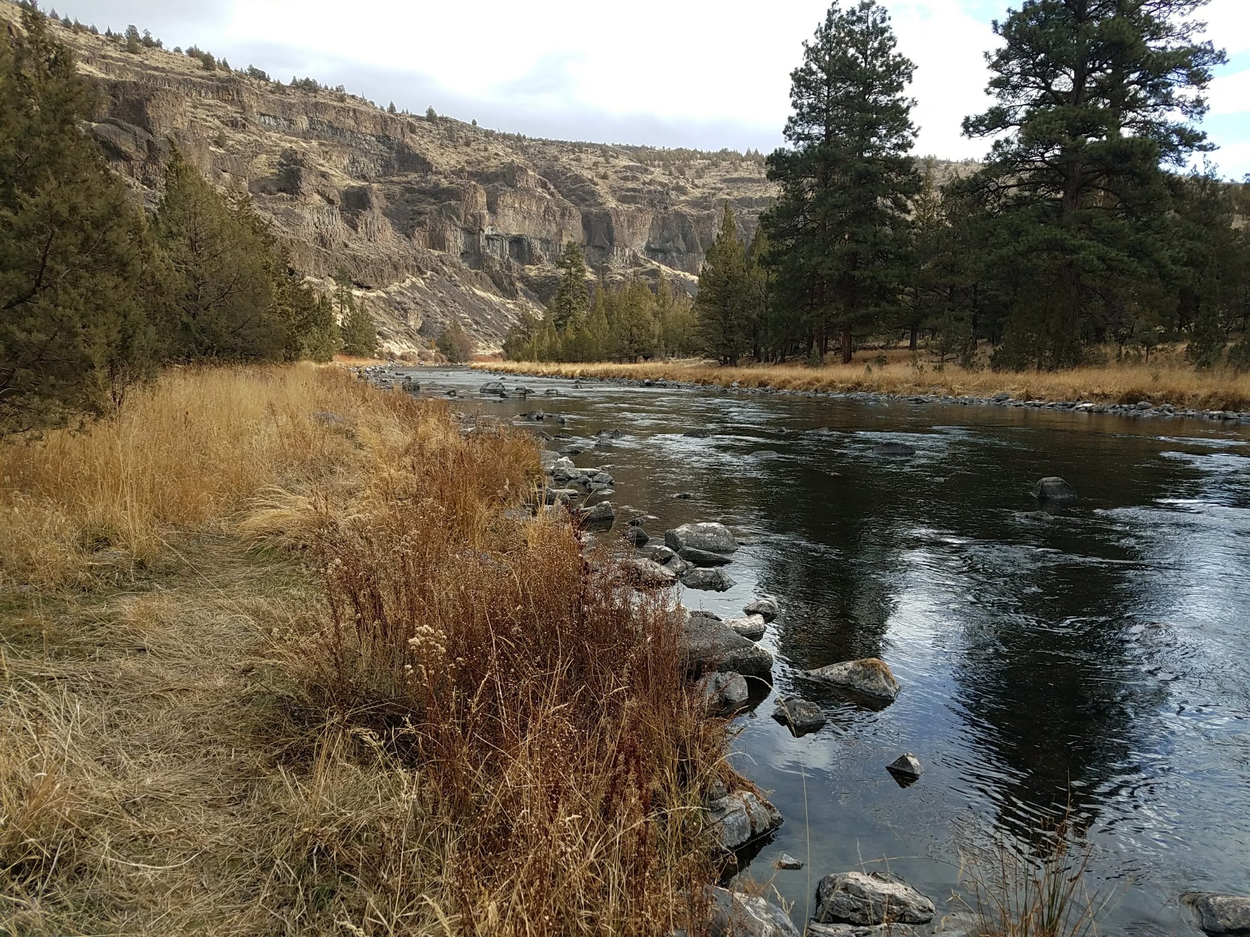
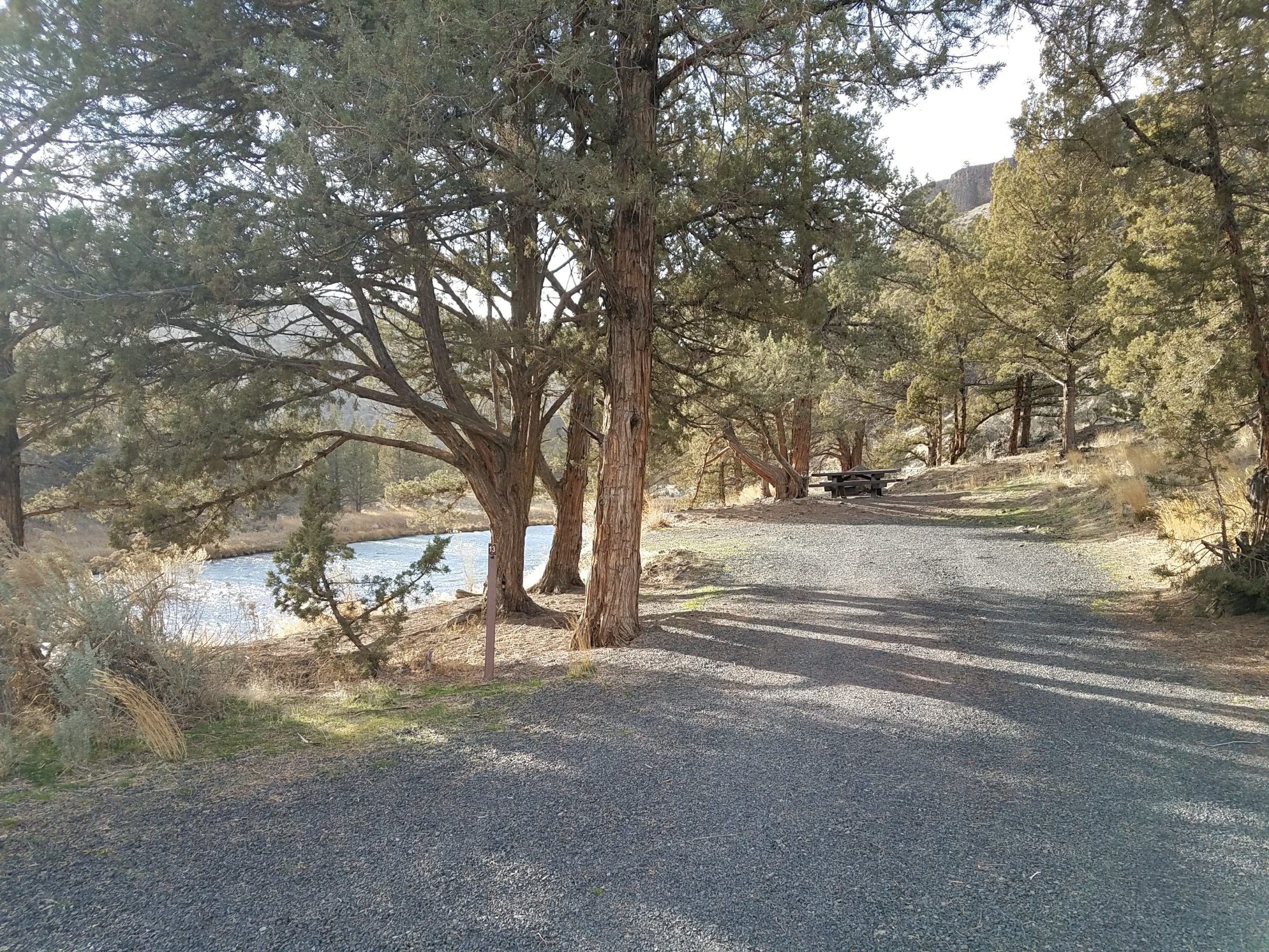
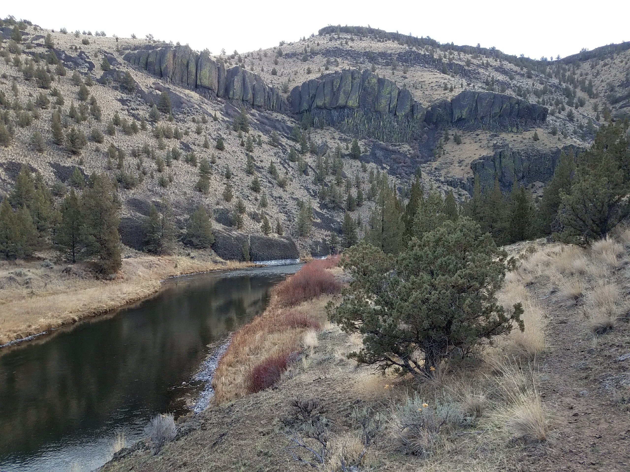
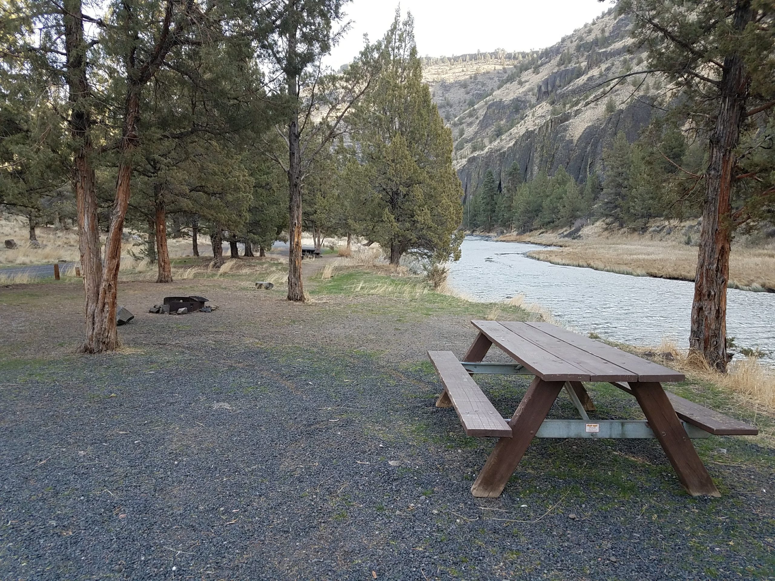
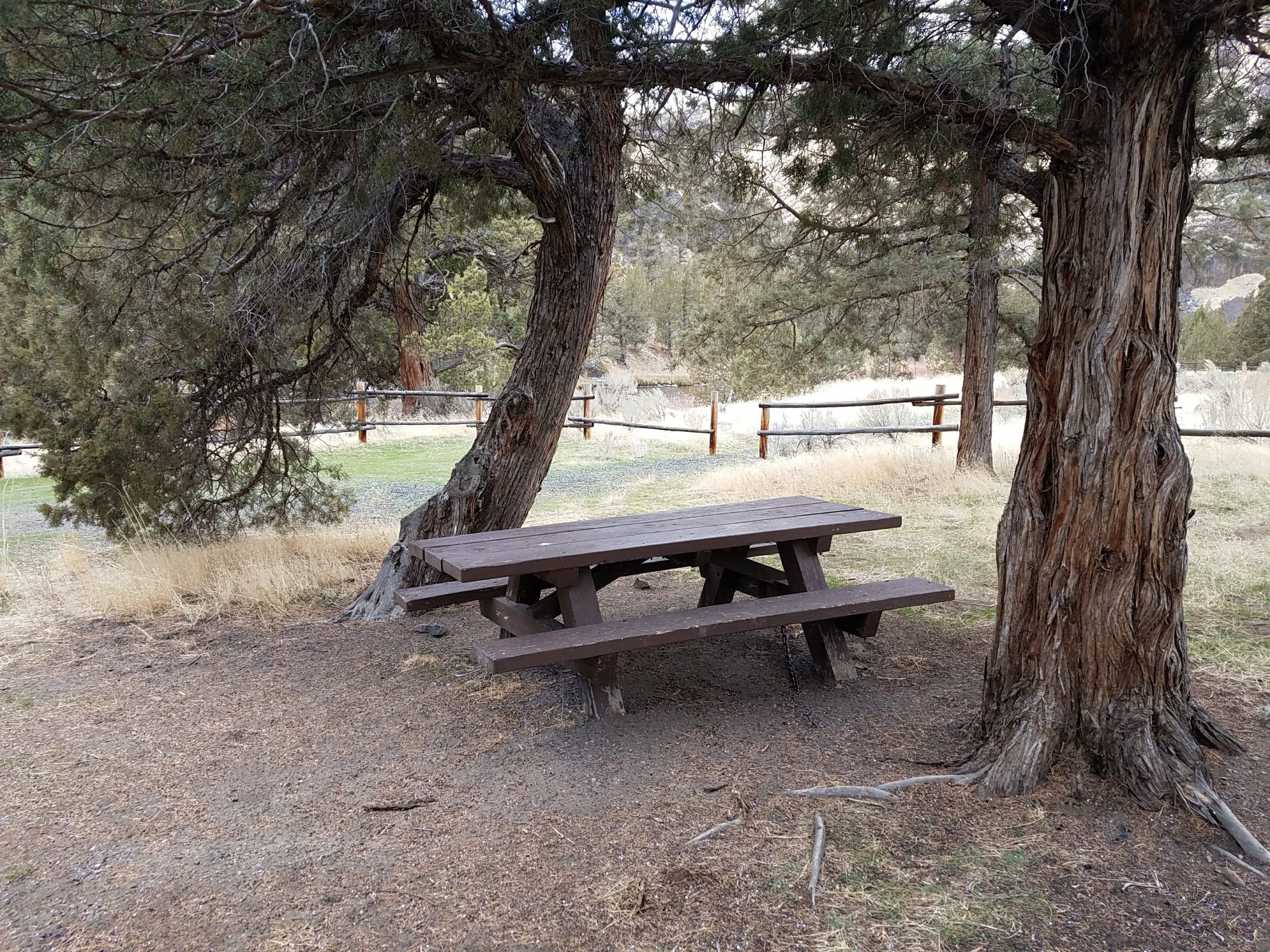
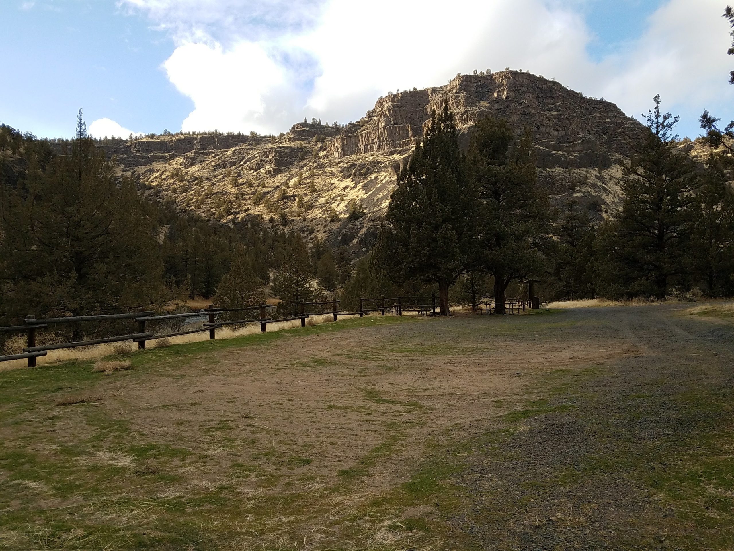
Situated just next to Lone Pine Campground, this small day-use area offers easy access to the Crooked Wild and Scenic River with trails both up and downriver of the site. Picnic tables and a vault toilet are available at the site.

Know Before You Go:

  • Open year-round for day-use only.
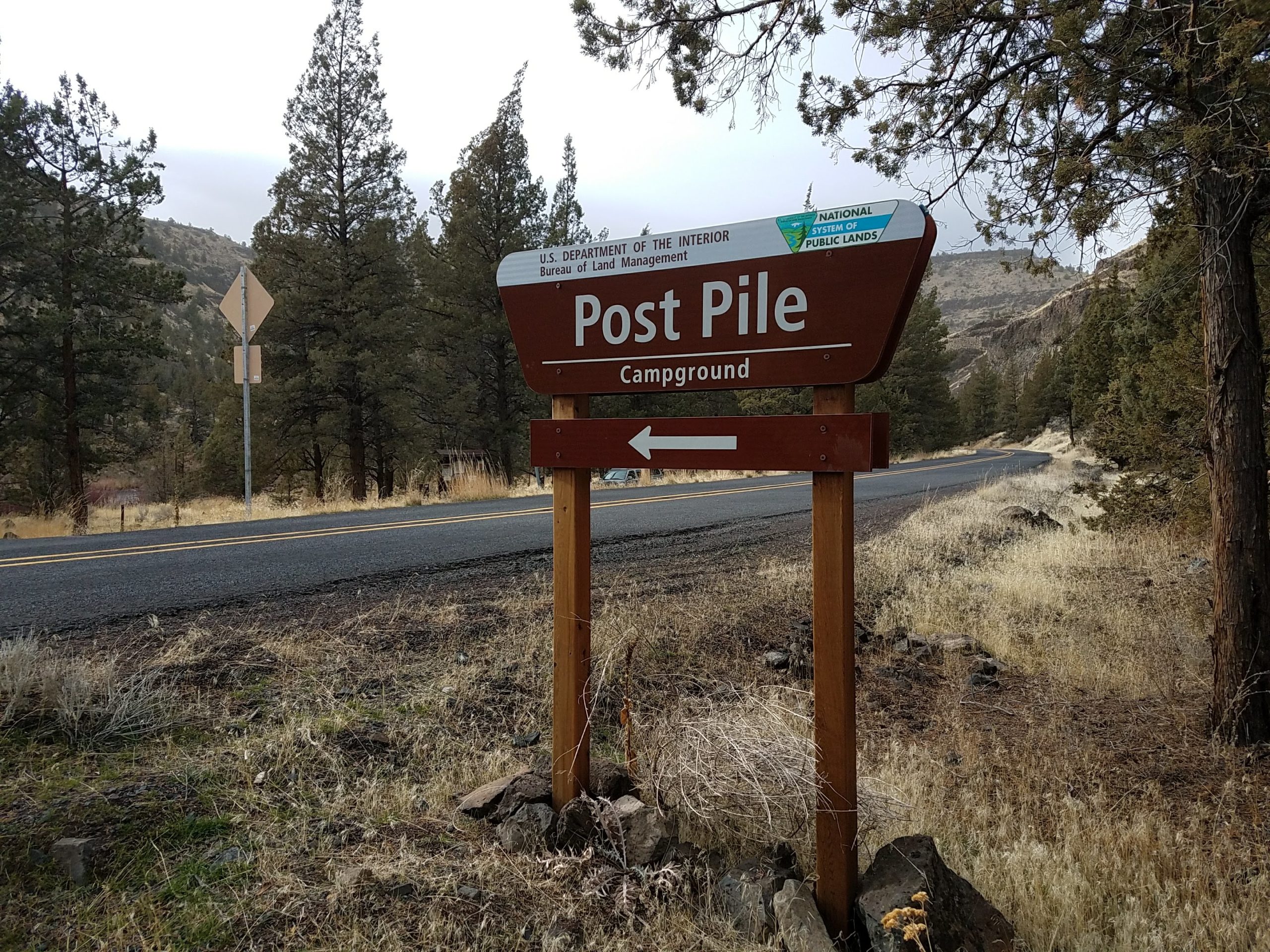
  • Potable water is available year-round at Chimney Rock Campground, 1.6 miles miles west (upriver) on State Highway 27.
  • Cell phone service is not available at the site.
  • Watch for bicyclists: the section of State Highway 27 between Prineville and Bowman Dam is designated as the Crooked River Canyon Scenic Bikeway.

Point of Interest:

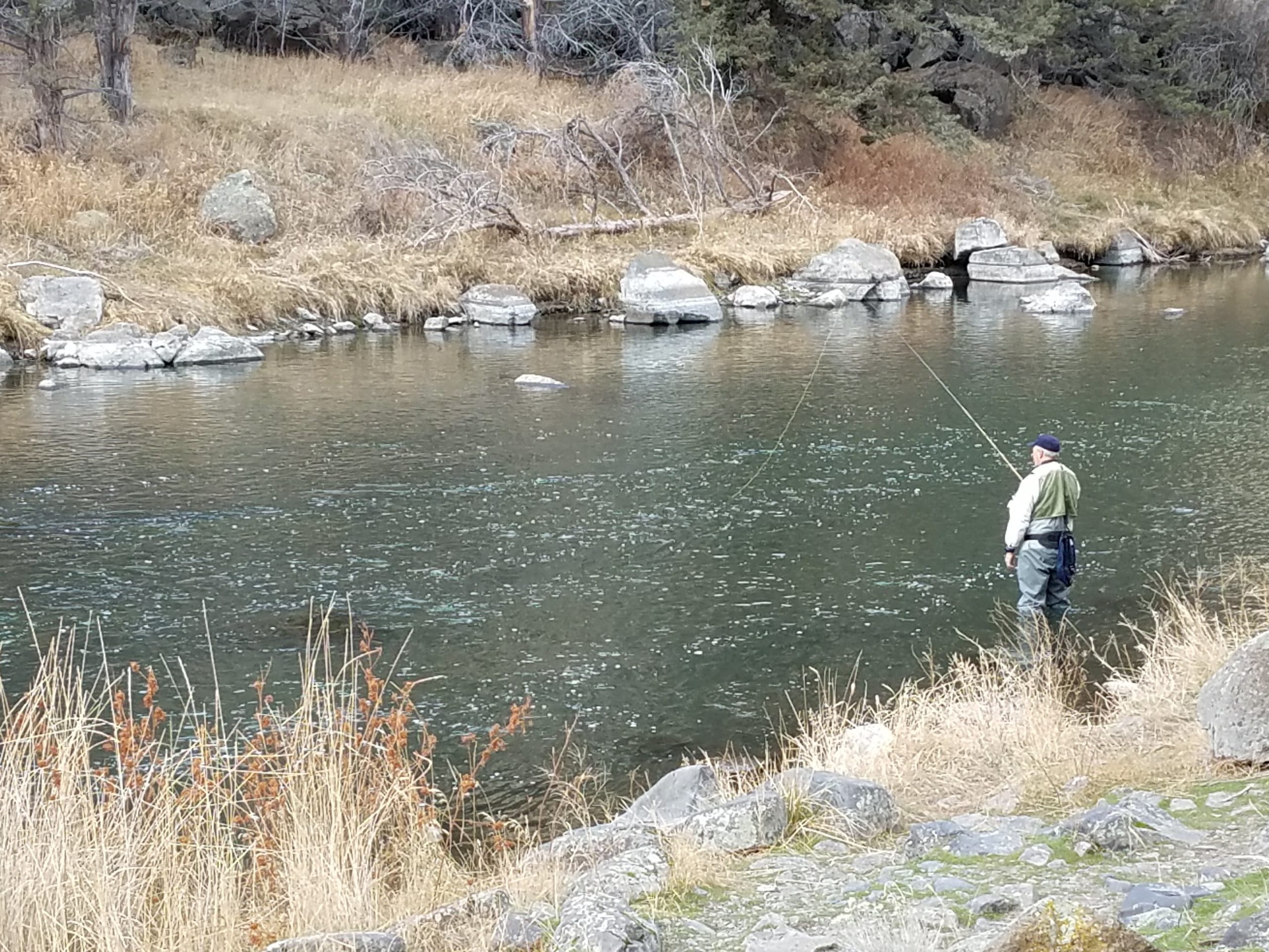
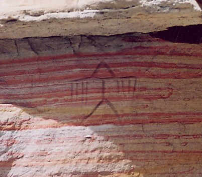
Upper Lone Pine Day-Use Area is one of two fee-free day-use areas within the Chimney Rock segment of the Crooked River WIld and Scenic River corridor. Enjoy picnicking, fly-fishing and photography at the site.

Gallery

Directions

From Prineville, Oregon: Drive 14.9 miles south on State Highway 27; the campground will be on your right.

GPS Coordinates

Latitude 44° 7′ 43.3416″ N

Longitude 120° 50′ 9.3228″ W

Categories
Uncategorized

Greenwood Day-Use Area

This small parking area has trails leading both up and down river providing plenty of angling access. Or, one can make use of the provided bench or step right down to the bank of the Crooked Wild and Scenic River.

Know Before You Go:

  • Open year-round for day-use only.
  • Potable water is available year-round at Chimney Rock Campground, 2.1 miles miles west (upriver) on State Highway 27.
  • Cell phone service is not available at the site.
  • Watch for bicyclists: the section of State Highway 27 between Prineville and Bowman Dam is designated as the Crooked River Canyon Scenic Bikeway.

Point of Interest:

The views from this straight stretch of the Crooked River are dominated by near vertical cliff walls; photographers favor the site during the hours when low-angle lighting highlight the brilliant textures of the basaltic lava flows high above the river.

Gallery

Directions

From Prineville, Oregon: Drive 14.4 miles south on State Highway 27; the campground will be on your right.

GPS Coordinates

Latitude 44° 8′ 4.9812″ N

Longitude 120° 50′ 16.2780″ W

Categories
Uncategorized

Big Bend Campground

Located south of Prineville, Oregon, this campground offers year-round camping and Crooked Wild and Scenic River access along the Lower Crooked Back Country Byway. Cooperatively managed in partnership with the Bureau of Reclamation and Oregon Parks and Recreation Department, this campground’s facilities include 13 campsites, one group use area and a day-use area with access to the Crooked Wild and Scenic River.

Know Before You Go:

  • Open year-round on a first-come, first-served basis. No reservations are accepted.
  • Potable water is available during the warmer spring and summer months.
  • Cell phone service is not available in the campground.
  • Watch for bicyclists: the section of State Highway 27 between Prineville and Bowman Dam is designated as the Crooked River Canyon Scenic Bikeway.

Point of Interest:

Looming 240 feet above the campground, the mighty Arthur R. Bowman Dam retains the waters of the 3,030-acre Prineville Reservoir, a popular spot for fishing and other water-based activities. At 1.6 miles away from Big Bend Campground, the boat ramp at Powderhouse Cove provides the nearest reservoir access.

Gallery

Directions

From Prineville, Oregon: Drive 19.2 miles south on State Highway 27; the campground will be on your right.

GPS Coordinates

Latitude 44° 6′ 46.9440″ N

Longitude 120° 47′ 36.9096″ W

Categories
Uncategorized

Post Pile Campground

With views of nearby Chimney Rock, this campground offers year-round camping and Crooked River access along the Lower Crooked Back Country Byway. Campground facilities include seven campsites with excellent access to the Crooked Wild and Scenic River.

Know Before You Go:

  • Open year-round on a first-come, first-served basis. No reservations are accepted.
  • Potable water is available year-round at the nearby Chimney Rock Campground, 1.3 miles north on State Highway 27.
  • Cell phone service is not available in the campground.
  • Watch for bicyclists: the section of State Highway 27 between Prineville and Bowman Dam is designated as the Crooked River Canyon Scenic Bikeway.

Point of Interest:

The campground takes its name from nearby rock outcrops composed of basaltic lava. As these formations cooled, a multi-sided joint pattern formed which seemingly resulted in the appearance of a pile of posts stacked vertically. The geologic phenomena is known as columnar basalt.

Gallery

Directions

From Prineville, Oregon: Drive 18 miles south on State Highway 27; the campground will be on your right.

GPS Coordinates

Latitude 44° 7′ 43.4748″ N

Longitude 120° 48′ 7.1928″ W

Categories
Uncategorized

Poison Butte Campground

This cozy and compact campground offers year-round camping and Crooked Wild and Scenic River access along the Lower Crooked Back Country Byway. Campground facilities include 5 campsites, day-use parking with access to the Crooked Wild and Scenic River.

Know Before You Go:

  • Open year-round on a first-come, first-served basis. No reservations are accepted.
  • Potable water is available during the warmer spring and summer months at the nearby Big Bend Campground, 0.9 miles south on State HIghway 27.
  • Cell phone service is not available in the campground.
  • Watch for bicyclists: the section of State Highway 27 between Prineville and Bowman Dam is designated as the Crooked River Canyon Scenic Bikeway.

Point of Interest:

Hike the short riverside trail to the single, old growth Ponderosa pine tree, a relative rarity in the Crooked River canyon.

Gallery

Directions

From Prineville, Oregon: Drive 18.3 miles south on State Highway 27; the campground will be on your right.

GPS Coordinates

Latitude 44° 7′ 13.7784″ N

Longitude 120° 47′ 55.2408″ W

Categories
Uncategorized

Palisades Campground

Unlike most of the other campgrounds along the Crooked River, this 14.5-acre campground is set back some from the Lower Crooked Back Country Byway, providing some isolation. Campground facilities include fourteen mostly broad, spacious campsites, vault toilets and an accessible fishing pier. All but one of the campsites are at river level and accessed by a single-lane road.

Know Before You Go:

  • Open year-round on a first-come, first-served basis. No reservations are accepted.
  • Potable water is available year-round at the upriver Chimney Rock Campground, 0.8 miles north on State HIghway 27.
  • Cell phone service is not available in the campground.
  • Watch for bicyclists: the section of State Highway 27 between Prineville and Bowman Dam is designated as the Crooked River Canyon Scenic Bikeway.

Point of Interest:

The site takes its name from nearby rock outcrops composed of basaltic lava which form the steep, formidable cliff faces across the river from the campground.

Gallery

Directions

From Prineville, Oregon: Drive 15.3 miles south on State Highway 27; the campground will be on your right.

GPS Coordinates

Latitude 44° 7′ 52.8924″ N

Longitude 120° 49′ 24.5244″ W

Categories
Uncategorized

Silver Creek Boat Landing

This Watchable Wildlife site is located at the Silver Creek public boat ramp. A short walk leads to a wooden viewing platform, which overlooks the McKenzie River. Here, osprey, waterfowl, beaver, and deer can be sighted near the river’s shore. The boat launch is paved, which provides easy access for vehicles from Highway 126. Interpretive and informative signs are found in several locations at the Watchable Wildlife site.

Gallery

Directions

Silver Creek Landing is located on the McKenzie River east of Springfield between Hendricks Bridge and Finn Rock on Highway 126. The Silver Creek Boat Landing is located on the right side of Highway 126, eight tenths of a mile east of mile marker 33.

GPS Coordinates

Latitude 44° 6′ 59.0040″ N

Longitude 122° 26′ 33.6480″ W

Categories
Uncategorized

North Table Rock Camping Area

This camping area used by large recreation vehicles to serve as a base camp for OHV use in the Killpecker Sand Dunes Open Play Area. Because it is typically used by self-contained vehicles, no facilities are offered at this location. This area is a fee free site and is ADA Accessible.

Directions

Take State Highway 191 north of Rock Springs to mile marker 10. East on County Road 4-17 twenty-seven miles to the site.

GPS Coordinates

Latitude 41° 56′ 26.7468″ N

Longitude 109° 2′ 14.6400″ W

Categories
Uncategorized

Crookston Ranch Cultural Site

Crookston Ranch is a turn-of-the-century ranch. History claims Butch Cassidy would use the Crookston to rest and re-horse when on the run from the Federal Marshals.

The site is located on publicly managed land due to an error in the filing of homestead papers. The associated spring is fed by ice cells in the adjacent sand dunes.

Gallery

Directions

Take State Highway 191 north to mile marker 10. Head East on County Road 4-17 22 miles to BLM 4115. Go West on BLM 4115 two miles to the Crookston Ranch Access route. Keep east at the fork 1 mile to the site.

GPS Coordinates

Latitude 41° 57′ 23.7636″ N

Longitude 109° 4′ 56.6904″ W

Categories
Uncategorized

Cedar Canyon Petroglyphs

The Cedar Canyon Petroglyphs are dated back more than 200 years, with some of the petroglyphs unique to this location, including several panels that include depictions of plants and markings referred to as calendars.

Cedar Canyon is south of Fifteenmile Knoll and southwest of Pine Canyon. Cedar Canyon has an elevation of 6,542 feet. The panels are a 250 ft uphill walk from the parking area. This is a fee-free site. Access is by remote routes and use of a high clearance vehicle is recommended.

Gallery

Directions

Take State Highway 191 north to mile marker 10. Go East on to County 4-17 16 miles to Cedar Canyon Access route and then east 5.2 miles to an unnamed route, 24 miles to an unnamed route. North 3 miles to the site. Call or visit the Rock Springs Field office for a map. Access is by remote routes and a high-clearance vehicle is recommended.

GPS Coordinates

Latitude 41° 53′ 12.5160″ N

Longitude 109° 6′ 55.9620″ W