Overview:
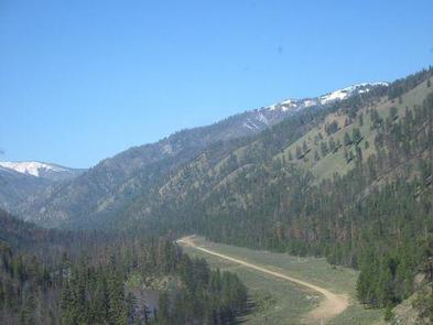
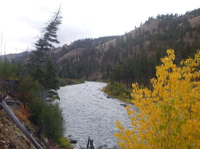
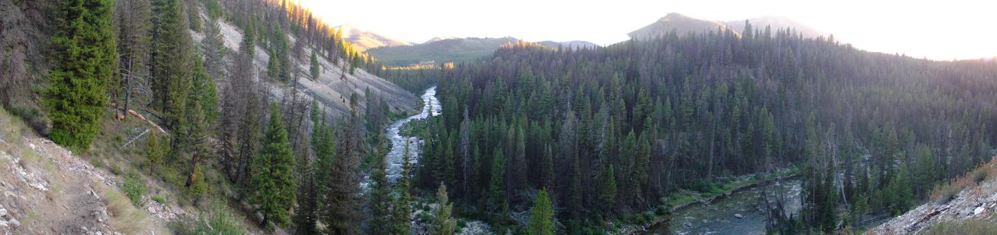
Welcome to the remote and rugged mountains and rivers of Central Idaho. Each year, approximately 10,000 people float the Middle Fork of the Salmon River. The Middle Fork is a 104-mile free-flowing river in the heart of the Frank Church River of No Return Wilderness, originating 20 miles northwest of Stanley, Idaho, at the confluence of Bear Valley and Marsh Creeks.
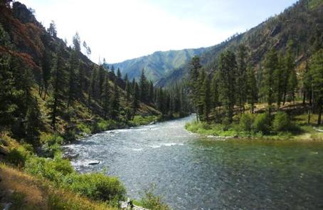
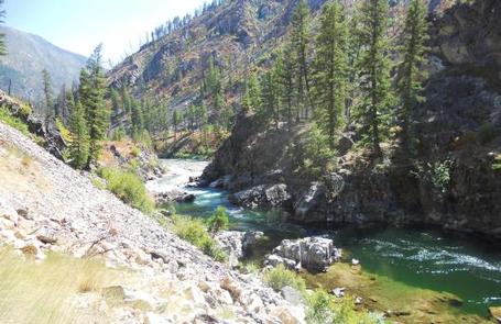
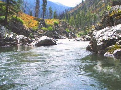
It was one of the original eight rivers in the nation designated as Wild and Scenic on October 2, 1968. The river moves through a variety of climates and land types; from alpine forest to high mountain desert to sheer, rock-walled canyon, the third deepest in North America.
The Middle Fork is administered under a permit system to protect it from excessive human impacts. Part of that protection asks you, the user, to learn and practice Leave No Trace ethics. Because of its remote location, man’s presence in the area was somewhat limited, leaving it in the condition we see today.
Only a few trails, landing strips, private ranches and Forest Service stations are evidence of man’s intrusion. The Middle Fork is now an internationally recognized whitewater/wilderness float trip, known for its scenic beauty and crystal clear whitewater. It is a non-motorized floating experience with many technical rapids. These class III and IV+ rapids offer boating excitement for both families and experienced adventurers.
Hiking from the river campsites offers a taste of the wilderness experience and visitors may be lucky enough to catch a glimpse of how past inhabitants lived.
The Middle Fork of the Salmon River is usually not floated November 1 to March 31 due to winter conditions, low water levels and access difficulties. Ice and snow bridges are to be expected on the river and its tributaries during this time.
In the spring, road access to the Middle Fork is usually limited by snowdrifts and trees across the road. Depending on the amount of snow, spring weather and temperatures, the road to Boundary Creek may not open until sometime in early June. High water levels are also a concern once the runoff begins.
Gallery
Directions
None
GPS Coordinates
Latitude 44° 32′ 2.0000″ N
Longitude 115° 17′ 39.9998″ W