Overview:
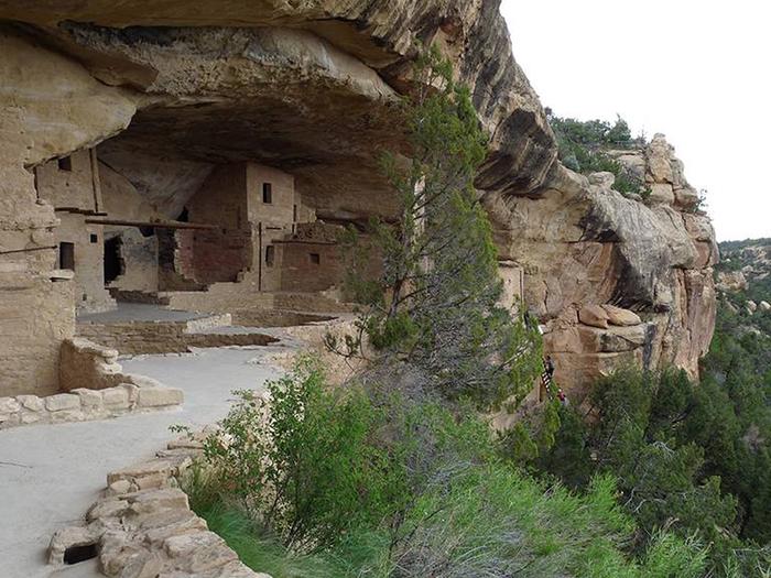
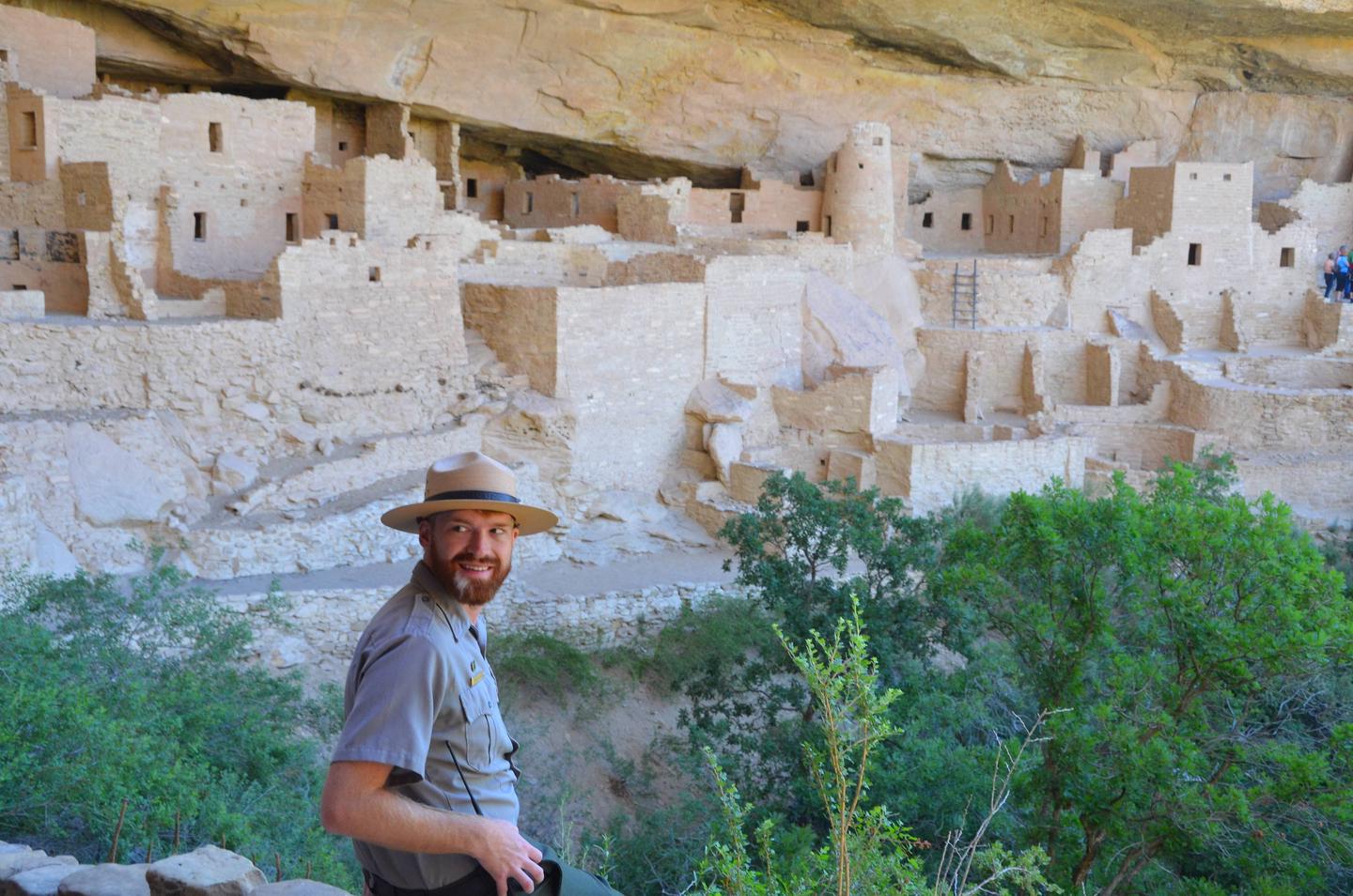
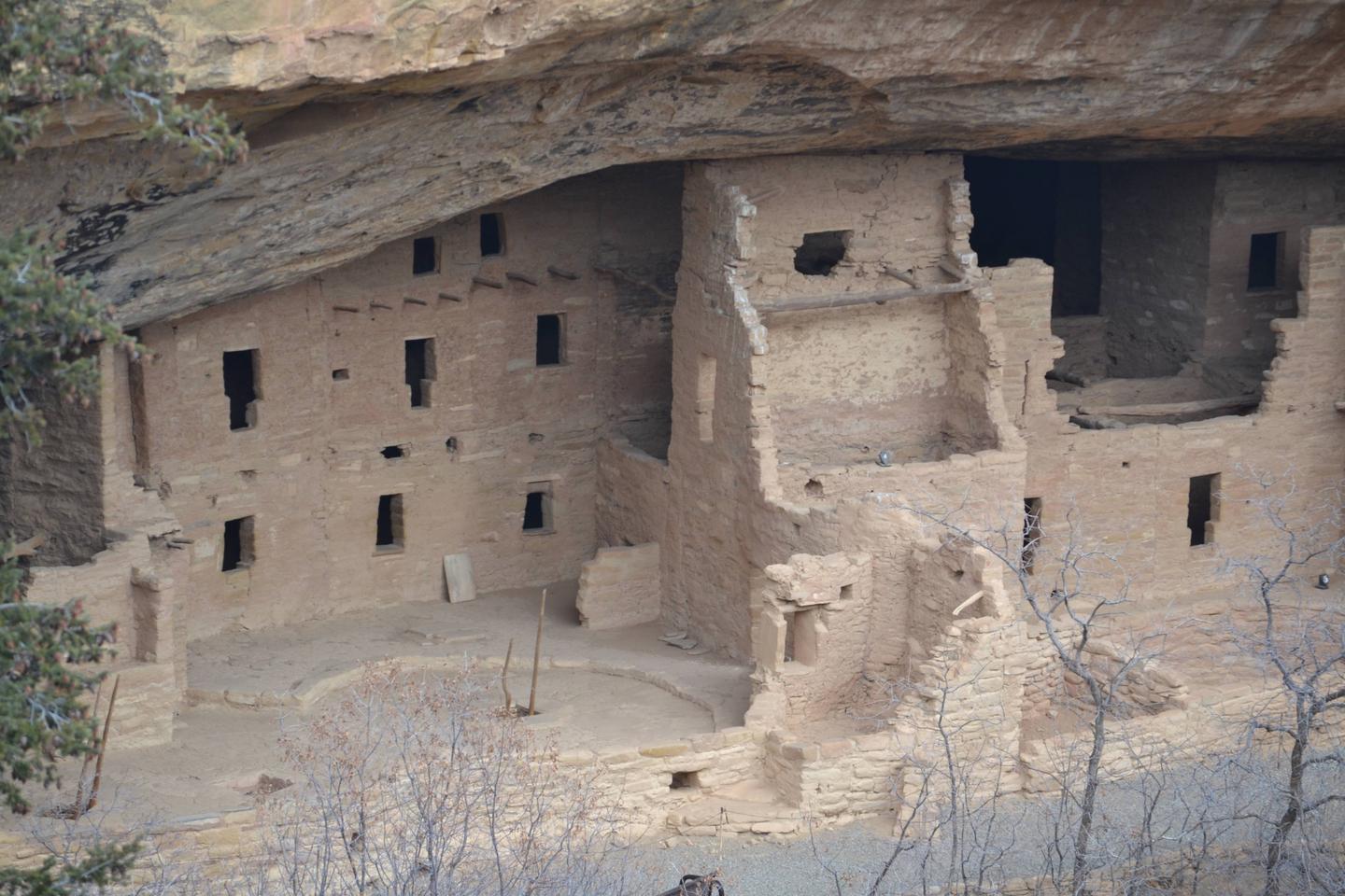
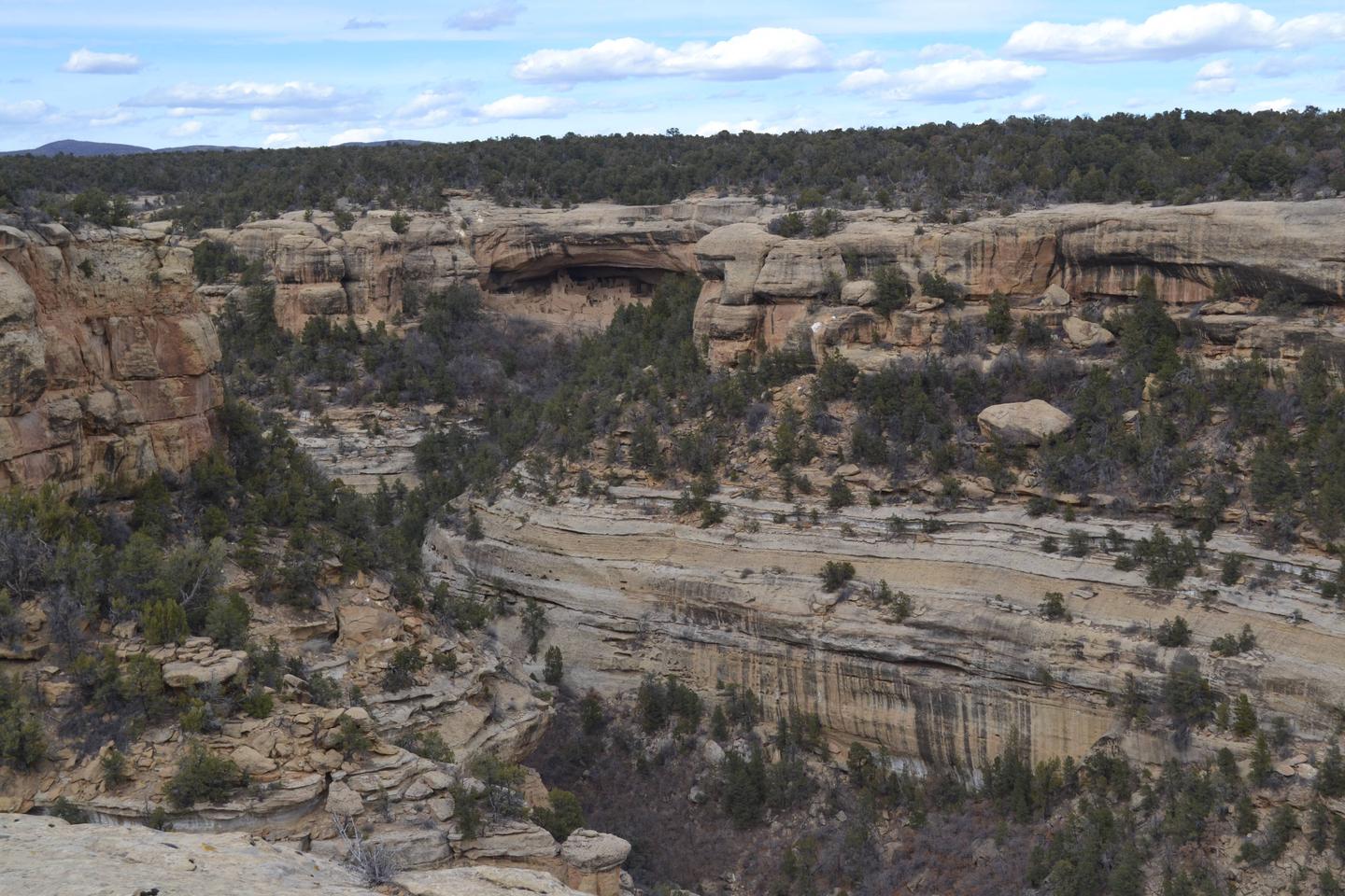
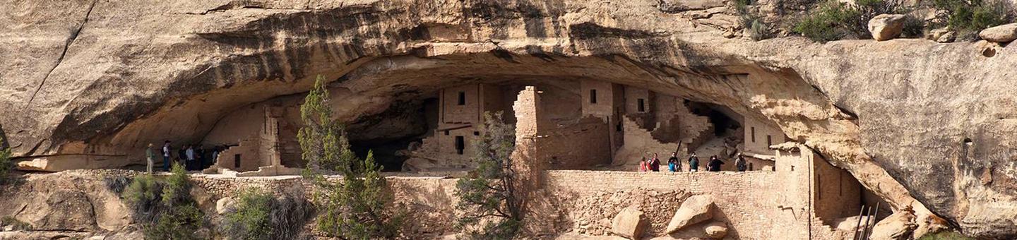
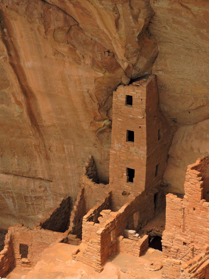
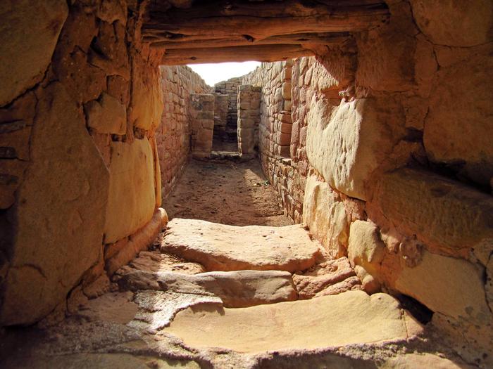
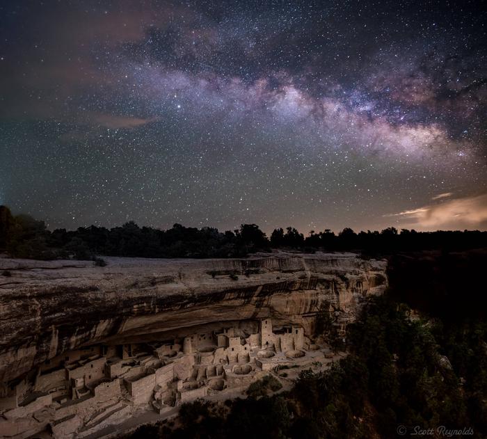
Mesa Verde, Spanish for green table, offers a spectacular look into the lives of the Ancestral Pueblo people who made it their home for over 700 years, from A.D. 600 to A.D. 1300. Today, the park protects over 4,000 known archaeological sites, including 600 cliff dwellings. These sites are some of the most notable and best preserved in the United States.
Road work is expected during the spring and summer. Plan extra travel time within the park.
Natural Features:
test
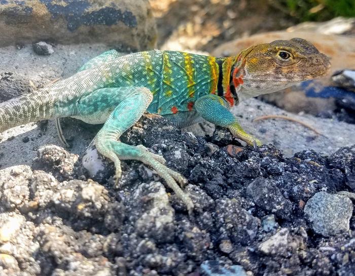
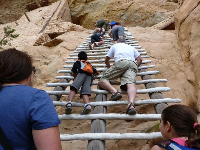
Gallery
Directions
Plane
The nearest airports are Cortez, Colorado, Durango, Colorado, and Farmington, New Mexico.
Car
Mesa Verde National Park is located 10 miles east of Cortez, Colorado and 7 miles west of Mancos, Colorado, on US Highway 160. Although the park entrance is adjacent to US Highway 160, allow 45 minutes to drive from the park entrance to the tour sites.
Public Transportation
There is no public transportation to Mesa Verde National Park. The closest bus station is in Durango, Colorado, 35 miles west.
Getting Around
A vehicle is needed to see Mesa Verde.
The first view of a cliff dwelling is 21 miles (approximately 45 minutes) past the entrance station along a steep, narrow, winding road. Non campers must leave all towed vehicles at the trailer overflow lot near the park entrance. Vehicles on Wetherill Mesa are restricted to less than 8,000 pounds and 25-feet in length.
GPS Coordinates
Latitude 37° 12′ 0.0000″ N
Longitude 108° 29′ 23.9899″ W