Overview
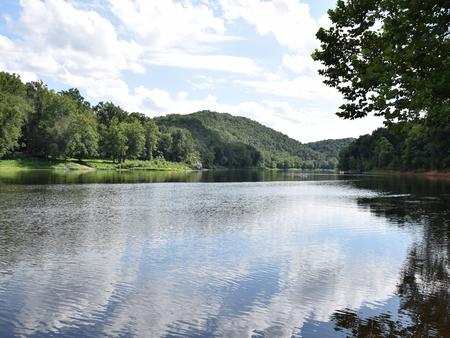
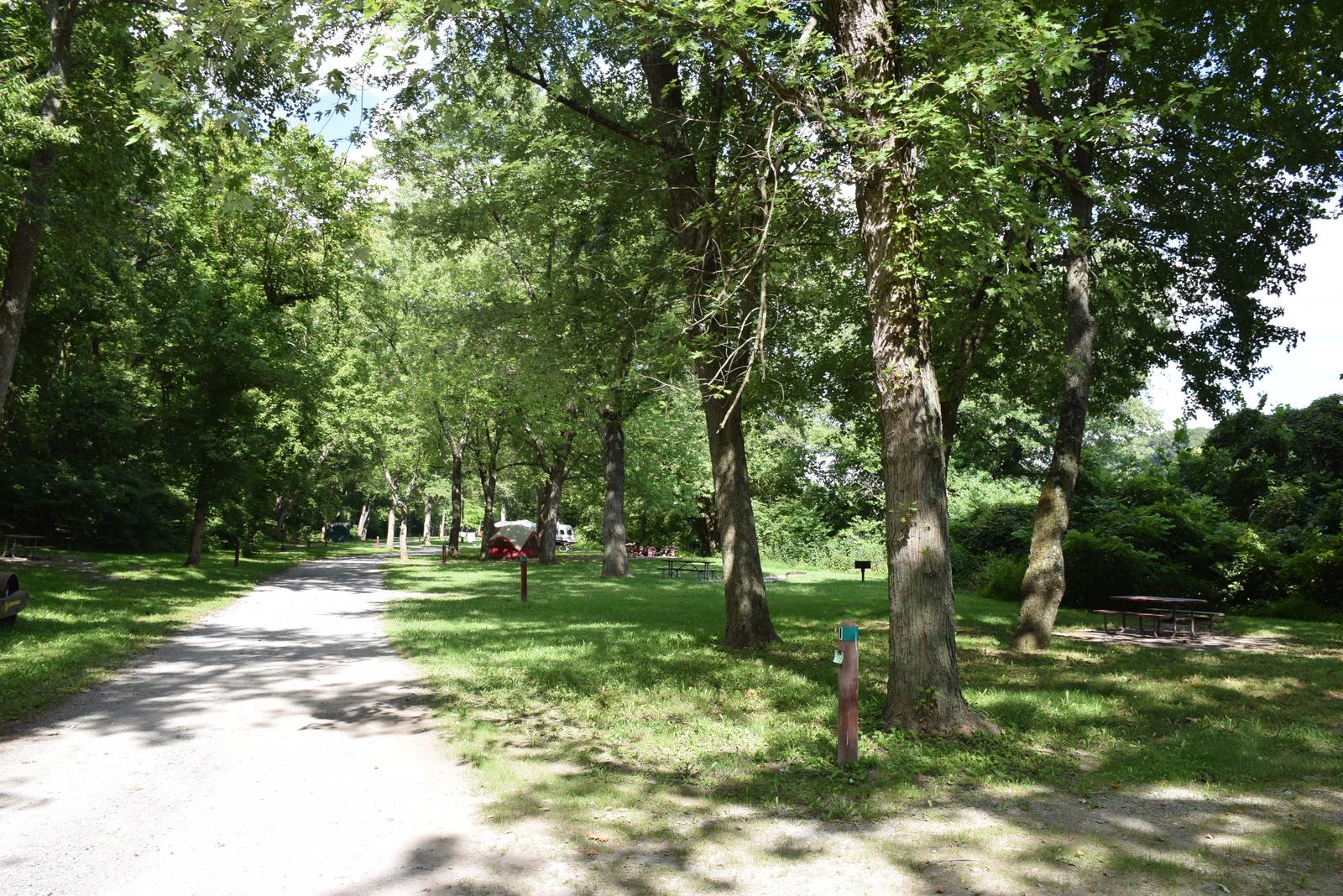
The McCoys Ferry Campground is located at Mile 110.4 on the C&O Canal Towpath, between the towns of Big Pool and Big Spring on the Maryland side of the Potomac River. The campsites are drive-in, large enough to park a very small fifth wheel/travel trailer/RV/pop-out with a 20′ ft. maximum. McCoys Ferry has a tunnel access which limits vehicle height to 10′ 3″.
Recreation
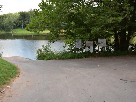
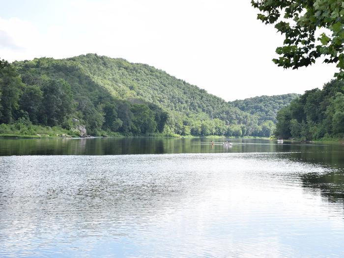
The most popular activity for McCoys Ferry campers is boating and fishing. The campground has a boat ramp for easy access to the Potomac River for kayakers and fisherman alike. Be sure to acquire a Maryland Fishing License for those age 16 or older.
Facilities
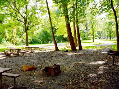
The campground has 12 single drive-in campsites. Each single will accommodate up to eight people. Single campsites have a picnic table, fire ring and grill. There is one group site available with space for two vehicles and a small trailer or support vehicle less than 20 ft. The group site can accommodate 30 people and has four picnic tables with grill and fire pit. Protected pit toilets and accessible portable toilets are available. Potable hand pump water is available April 15 – November 1. No motor vehicle traffic is allowed on the towpath. Parking is allowed in the drive-in campsites and the adjacent parking lot for vehicles with trailers.
Natural Features
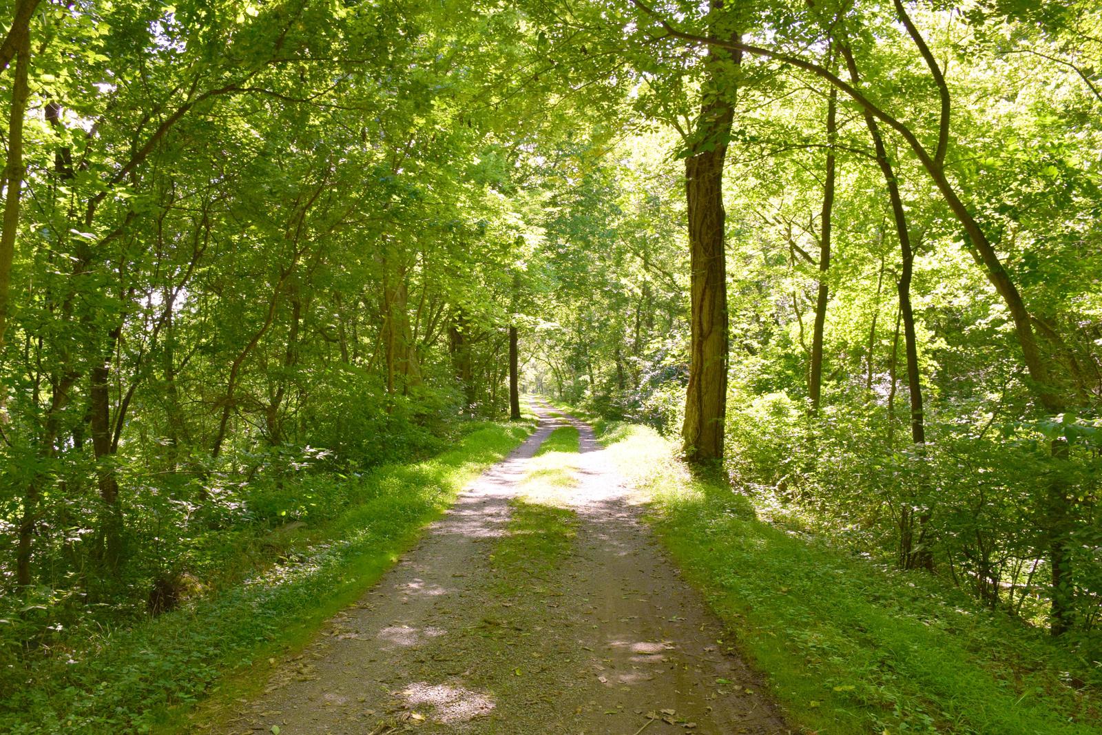
Tucked in the mountains of Western Maryland and adjacent to Ft. Frederick State Park, experience the history and culture of the area as well as its natural beauty, which is plentiful all times of the year, but especially during autumn.
Nearby Attractions
Fort Frederick State Park is located nearby, a rare pre-Revolution stone fort from the French & Indian War. Living History programming is available weekends in the summer.
Nearby Activities
- Biking
- Camping
- Fishing
- Hiking
Gallery
Directions
From Hagerstown: Take I-70W to Exit 18 towards Clear Springs. Make a left onto U.S. Route 40. About a mile later make another left on Martin Street. This road will head out of town for a few miles. Make a right on MD Route 56. Then a few miles later make a left on McCoys Ferry Rd. The road will dead end at the campground after passing under the tunnel.
GPS Coordinates
Latitude 39° 36′ 34.0099″ N
Longitude 77° 58′ 11.6699″ W

