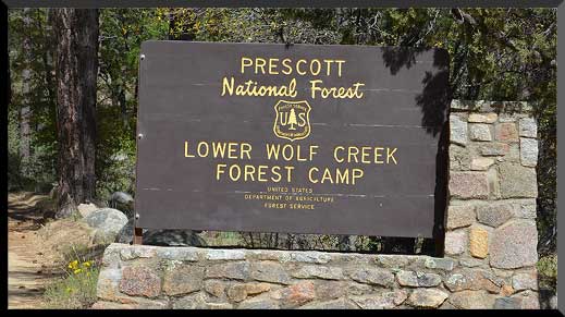
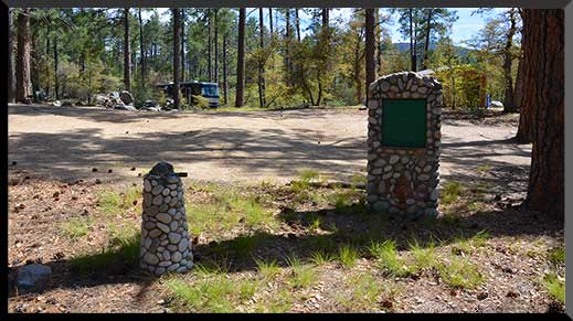
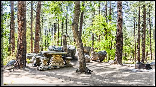
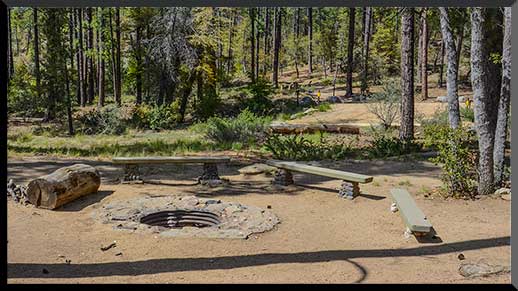
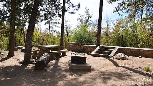
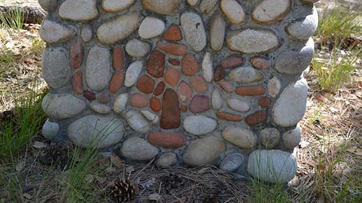
Located on the banks of Wolf Creek, Arizona walnut and live-oaks are interspersed among the ponderosa pines in this boulder-strewn campground that was constructed by the Civilian Conservation Corps in the late 1930s.
Facilities
- 20 campsites with picnic tables, and fire rings with grills
- No drinking water
- Vault toilets
- Garbage service
Nearby Activities
- Camping
- Recreational vehicles
Directions
There are two principal access routes to the campground. Depending upon which route you choose, travel on an unpaved road will range from 1.25 to 5 miles.
From Prescott take the Senator Highway (Mt. Vernon Avenue) south for about 6 miles. You will pass the entrance to Goldwater Lake and the community of Groom Creek. The pavement will end about 500 feet before you reach Forest Road 97. Turn right onto Forest Road 97 and travel for another 1.25 miles to the campground on the left side of the road. Forest Road 97 is unpaved but is suitable for all vehicles during dry road conditions.
An alternate route from Prescott is to take U.S. Highway 89 (White Spar Road) south for about 6 miles to Forest Road 97. Turn left on Forest Road 97 and go for another 5.1 miles on graded dirt road to the campground.
GPS Coordinates
Latitude 34° 27′ 16.4834″ N
Longitude 112° 27′ 35.0867″ W
