Overview
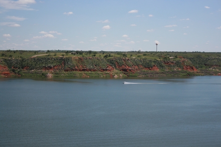
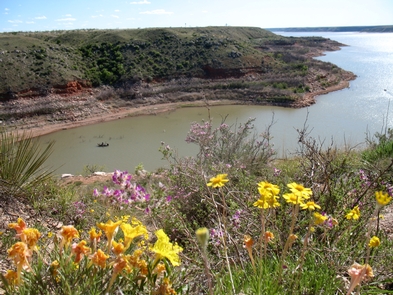
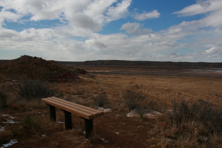
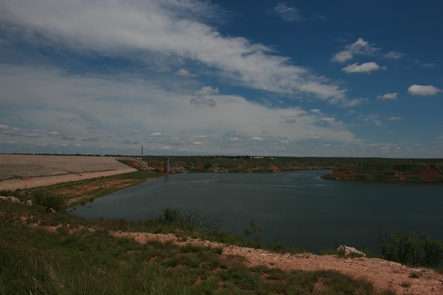
Within the dry and windswept high plains of the Texas Panhandle lies a hidden oasis, a welcoming haven where wildlife and humans find respite from the dry grasslands above. Through this plain, the Canadian River has cut dramatic 200-foot canyons, or breaks, where humans have made a living for over 13,000 years. Lake Meredith now occupies these hidden coves where early humans once roamed.
Reservations
Attractions
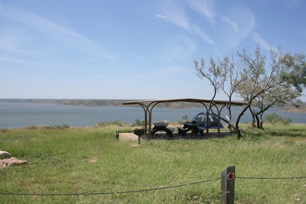
Campgrounds/Day Use
- Sanford-Yake Campground
- Fritch Fortress
- Blue West Campground
- Harbor Bay Campground
- Cedar Canyon Campground
- McBride Canyon and Mullinaw Creek Campgrounds
- Plum Creek Campgrounds
- Bugbee Canyon
- Chimney Hollow Campground
- Blue Creek Bridge
- Rosita
- Park Headquarters
Nearby Activities
- Auto touring
- Biking
- Boating
- Camping
- Fishing
- Hiking
- Horseback riding
- Hunting
- Paddling
Gallery
Getting Here
GPS Coordinates
Latitude 35° 37′ 9.3433″ N
Longitude 101° 40′ 55.2238″ W
Driving Directions
There are several different ways to get to Lake Meredith. If you are coming from Amarillo, exit Loop 335 North, then exit Hwy 136 North to Fritch. Headquarters is located at 419 E. Broadway in Fritch. If coming from the North you can take 1913 from the Dumas Highway or 1913 from US 287.
The airport in Amarillo is approximately 35 miles south of Lake Meredith if traveling by air. Rental cars are available.


