Overview
Located along the scenic Blue Ridge Parkway in the lush green expanses of North Carolina, Julian Price Campground is a top destination for boating, hiking, fishing and more. Whether it’s for a family camping excursion or a peaceful getaway, this campground has something for everyone.
Recreation
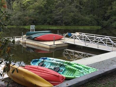
Canoe rentals are available at Price Lake, and other types of non-motorized boats are permitted. Fishing is also available at the lake, with a dock provided.
Price Lake Trail offers a refreshing hike around the edge of the water, and the Boone Fork, Green Knob and Tanawha Trails are just a few of the trails that are conveniently accessed through the campground.
Hebron Falls: A small waterfall accessed from the Boone Fork Trail.
The Cascades: A beautiful waterfall accessed by the easy 1-mile loop Cascades Trail. A great hike for children.
Moses Cone Flat Top Manor: A historic estate house (currently undergoing restoration) once owned by the Cone family. The grounds offer 25 miles of carriage roads to hike. Tours of the home are available. Currently houses the Southern Highland Craft Guild.
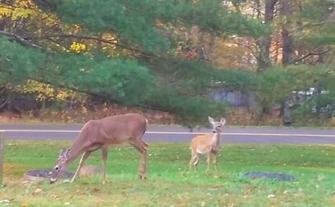
Wildlife viewing is also popular as campers have a good chance of spotting bears, grouse, turkeys, owls, hawks and more.
Facilities
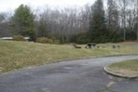
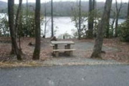
Julian Price Campground combines the traditional great outdoors experience with the modern conveniences of flush toilets, dump station, and drinking water. Both RV and tent sites are available, and are equipped with grills, picnic tables, and lantern poles.
In addition to the 75 sites available for advanced reservations, 115 sites are available on a first come, first served basis.
Primitive Backcountry Camping is available at Johns River Road. Obtain a free permit from the Julian Price Campground office (May-October) or the Sandy Flats Ranger Station (828-348-3510).
Natural Features
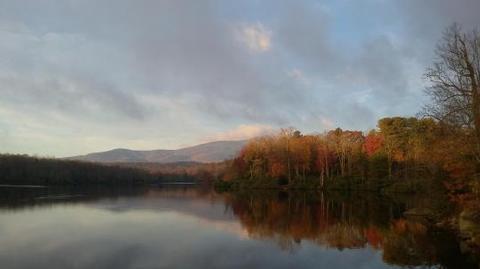
Julian Price Campground is adjacent to Price Lake, a pristine body of water that sparkles against the backdrop of rolling Carolina hills.
The surrounding forest offers hemlock, white pine, oak, hickory and birch trees, along with a colorful assortment of wildflowers in the spring and an array of vivid orange and red foliage displays in autumn.
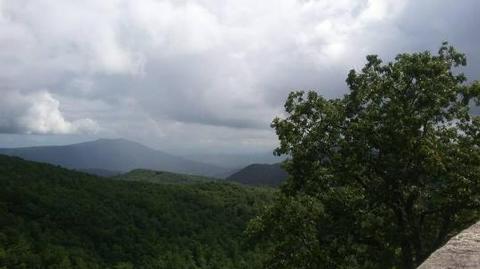
The Blue Ridge Parkway is a scenic byway that follows the high crests of the central and southern Appalachians for 469 miles from Shenandoah National Park in Virginia to the Great Smoky Mountains National Park in North Carolina.
Nearby Attractions
The beautiful town of Blowing Rock, located just 20 minutes away on the Blue Ridge Parkway, offers fine dining, shopping and more.
Nearby Activities
- Historic & cultural site
- Camping
- Interpretive programs
- Fishing
- Hiking
- Horseback riding
- Picnicking
- Visitor center
- Wildlife viewing
- Day use area
- Photography
- Kayaking
- Canoeing
- Star gazing
- Water access
Gallery
Directions
From Asheville, North Carolina, head east on I-40 E for approximately 20 miles to exit 72 for US-70E. At the top of the exit ramp, continue straight onto US-70 E and drive for 11 miles to the intersection with US-221 N. Turn left (north) onto US-221 N and continue for 21.6 miles. At the sign for the Blue Ridge Parkway, turn right onto the connector road. At the stop sign marking the intersection with the Parkway, turn left (north) and drive for approximately 22 miles until you see the Campground Registration Kiosk on the left side of the road.
From Boone, North Carolina, head south onto US-321 S and drive for 6.3 miles. At the sign for the Blue Ridge Parkway, turn right onto the connector road. At the stop sign marking the intersection with the Parkway, turn left (south) and drive for 4.4 miles until you see the campground on the right.
From Blowing Rock, North Carolina, take Main Street until you reach the intersection with US-221 S. Turn south onto US-221 S and drive for 1.6 miles. At the sign for the Blue Ridge Parkway, turn right onto the connector road. At the stop sign marking the intersection with the Parkway, turn left (south) and drive approximately 2 miles until you see the campground on the right.
GPS Coordinates
Latitude 36° 8′ 20.0000″ N
Longitude 81° 43′ 52.0000″ W

