Overview
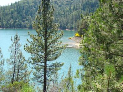
Hirz Bay Campground is nestled among Manzanita and oak trees on a hilltop overlooking the McCloud Arm of Shasta Lake. The scenic location offers a variety of recreational activities,
including a nearby boat ramp for water sports and a hiking trail.
Recreation
The nearest boat launch is about 1 mile away at Hirz Bay. Resorts on the lake have watercraft rentals and marinas with fuel.
Popular water activities include power and non-motorized boating, fishing and water skiing. Lake Shasta offers excellent fishing for trout, catfish, Chinook salmon, crappie, bluegill, white sturgeon, brown bullhead and bass.
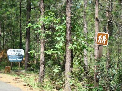
Hikers can access the 2-mile Hirz Bay Trail from the campground.
Facilities
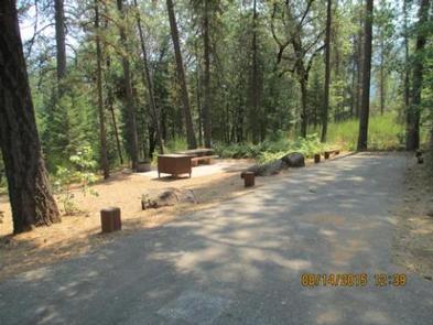
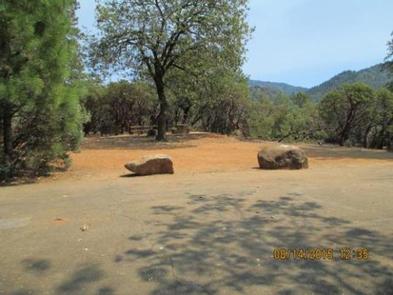
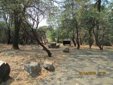
Each campsite contains a paved parking spur, a table, a bear-proof food locker and one fire ring. This campground has a pay phone, drinking water, flush toilets and an overflow parking area.
Natural Features
Shasta-Trinity is the largest national forest in California with a diverse landscape encompassing five wilderness areas, hundreds of mountain lakes and 6,278 miles of streams and rivers.
Lake Shasta sits at an elevation of 1,067 feet, with 365 miles of shoreline punctuated by steep mountains blanketed in manzanita and evergreens. A snow-capped Mount Shasta, the second-tallest mountain in the Cascade Range, looms in the distance.
Nearby Attractions
Lake Shasta Caverns are also located on the McCloud Arm of Shasta Lake in an area know as the Grey Rocks. Tours are given daily at this privately owned facility.
The nearby Hirz Mountain Lookout offers panoramic views of Mt. Shasta, Mt. Lassen and the surrounding area at an elevation of 3,500 feet.
Nearby Activities
- Boating
- Camping
- Fishing
- Hiking
- Water sports
Gallery
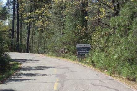
Directions
From Redding, CA, remain on I-5 to Gilman Road. (From the north, take Salt
Creek exit to Gilman Road). Take Gilman Road east for 11 miles to entrance
of Hirz Bay.
GPS Coordinates
Latitude 40° 52′ 0.0001″ N
Longitude 122° 15′ 11.0002″ W