Overview
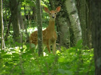
Gull Lake Recreation Area offers something for everyone with boating, hiking, fishing and swimming at Minnesota’s famous Gull Lake, the largest of the 10 lakes on the Gull Chain of Lakes. Visitors have the opportunity to see and hear an abundance of watchable wildlife like bald eagles, white-tailed deer, river otters, a variety of songbirds, and the legendary call of the loon.
Recreation
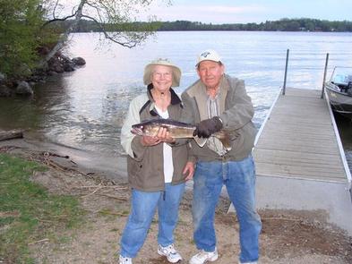
Anglers will delight in the large population of fish including stocked walleye, northern pike, bass and a variety of panfish. Boaters can access crystal clear waters throughout the chain of lakes and enjoy the peaceful sunsets overlooking the woods. Hit the self-guided interpretive trail for a short hike with wildlife watching, scenic overlooks, and geocaching opportunities.
Facilities
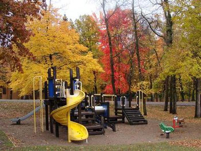
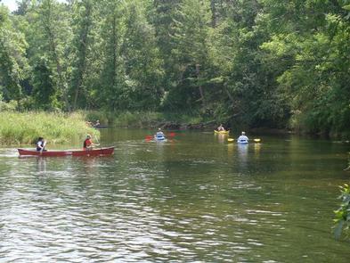
The campground is known for its well-spaced wooded sites, each with 50 or 30 amp electric hookups service, picnic tables and campfire rings, and a centrally located showerhouse. A boat ramp and swimming beach on the lake, canoe access and fishing platforms on the river, and playgrounds are also perks of the park.
Natural Features
The campground sits on the Gull River at the outlet of Gull Lake. The area was formed by a receding glacier that moved southward from Canada and carved the landscape. Gull Lake is one of the six Mississippi Headwaters Projects of the Mississippi River Watershed operated by The U.S. Army Corps of Engineers.
Nearby Attractions
Gull Lake is located minutes from 520 holes of golf, the 100-mile Paul Bunyan Trail, amusement parks, and numerous shopping opportunities in Brainerd, Baxter, and Nisswa.
Nearby Activities
- Biking
- Boating
- Historic & cultural site
- Camping
- Interpretive programs
- Fishing
- Hiking
- Picnicking
- Water sports
- Wildlife viewing
- Day use area
- Environmental education
- Photography
- Swimming
- Water activities
- Kayaking
- Canoeing
- Star gazing
- Birding
- Water access
- Water skiing
- Evening programs
- Tubing
Gallery
Directions
From the intersection MN 210 and MN 371 in Baxter, drive north 5.8 miles. Turn left on Cty Rd 125 (Gull Lake Dam Road). Follow the signs for approximately 3 miles. Turn left into the campground when you see the playground.
GPS Coordinates
Latitude 46° 24′ 38.9999″ N
Longitude 94° 21′ 5.0000″ W


