Overview
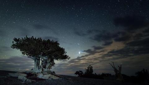
For visitors to Great Basin National Park, Grey Cliffs Campground is an ideal place to setup and start exploring. Experience the solitude of the desert, the smell of sagebrush after a thunderstorm, the darkest of night skies, and the beauty of Lehman Caves.
Recreation
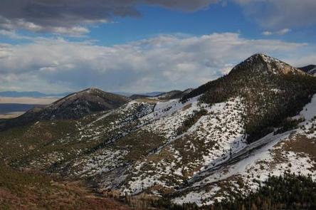
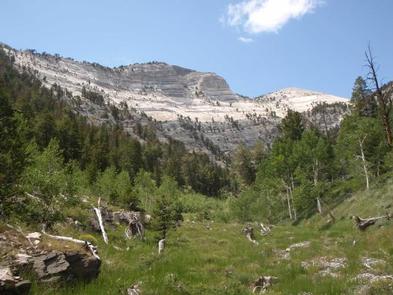
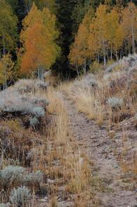
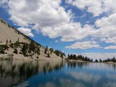
The park offers a variety of trails with views of mountain peaks and alpine lake surrounded by beautiful cliffs at trail’s end. Reserve a guided tour of Lehman Caves, take the scenic drive to the face of 13,063 foot Wheeler Peak or see 5,000 year old Bristlecone pine trees grow on rocky glacial moraines.
Facilities
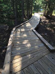
The Grey Cliffs Campground offers vault toilets only. There is no potable water, but water is available at the (first-come, first-served) Baker Creek Campground, the RV Sanitary Station from late spring through early fall or year round at the Lehman Caves Visitor Center.
A campfire is allowed in campfire rings only. RVs are not permitted due to space constraints.
Natural Features
The campground is tucked beside limestone cliffs and set amongst pinion pines.
Nearby Attractions
Hike along the Baker Lake Trail, reserve a guided tour ofLehman Caves , take the scenic drive to the face of 13,063 foot Wheeler Peak or see 5,000 year old Bristlecone pine trees grow on rocky glacial moraines.
Nearby Activities
- Historic & cultural site
- Camping
- Interpretive programs
- Fishing
- Hiking
- Visitor center
- Wildlife viewing
Gallery
Directions
From the east or west: From U.S. Highway 6 & 50, turn south on Nevada State Highway 487 and travel 5 miles to Baker, NV. In Baker turn west on Highway 488 and travel 5 miles to the park. From the south (Utah): Travel north on Utah State Highway 21 through Milford, UT and Garrison, UT, which will become Nevada State Highway 487 as you cross the border. Turn west on Highway 488 in Baker and travel 5 miles to the park. From the south (Nevada): Travel north on U.S. Highway 93 (Great Basin Highway). At the junction of U.S. Highway 6 & 50 drive east to Nevada State Highway 487 and turn south. Travel 5 miles to Baker, NV. In Baker turn west on Highway 488 and travel 5 miles to the park.
GPS Coordinates
Latitude 38° 59′ 22.8998″ N
Longitude 114° 13′ 16.7999″ W