Overview
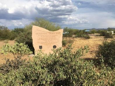
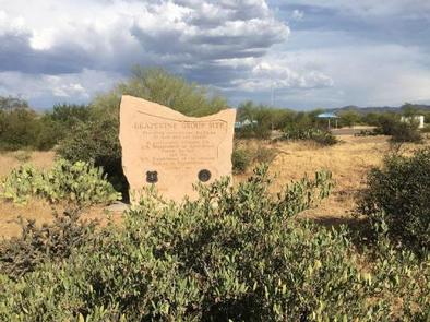
Groups are drawn to Grapevine Campground’s unique setting and expansive facilities. The site’s location near Roosevelt Lake’s shoreline and nestled in the Saguaro cactus-studded Sonoran Desert and facilities such as a boat ramp and event area provide a perfect setting for fishing tournaments, family reunions, and even weddings year-round.
Recreation
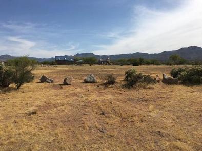
In addition to camping, Grapevine provides opportunities for boating, fishing, jet skiing, water skiing, and exploring peaceful coves from non-motorized watercraft. Additional activities include a playground for children, sports field, and a shoreline trail for hikers and mountain bikers.
Facilities
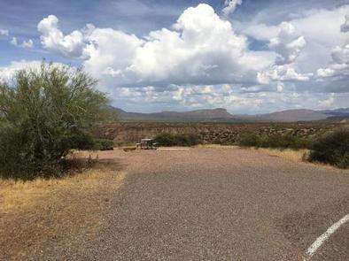
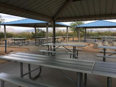
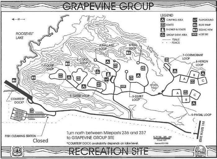
Nine group sites accommodate a wide range of facilities. Each group site includes flush toilets, water hydrants, and shelters with group-sized picnic tables, grills, and fire rings. The group sites also include individual camp units each with a fire ring/grill, picnic table, and parking. Additional facilities include showers, boat ramp with platform to assist individuals getting in boats, and an event area.
Group Sites:
- COOT group site has 14 separate camping units.
- GOOSE group site has 15 separate camping units.
- GREBE group site has 17 separate camping units.
- MALLARD group site has 18 separate camping units.
- TEAL group site has 15 separate camping units.
- PINTAIL group site has 18 separate camping units.
- EGRET group site has 14 separate camping units.
- HERON group site has 15 separate camping units.
- CORMORANT group site has 12 separate camping units.
Natural Features
At an elevation of 2,200 feet, each group site has stunning views of the blue water, the Sierra Ancha mountains, and sunsets against three mountainous wilderness areas.
Nearby Attractions
Multiple opportunities for enjoying spectacular scenery and learning about the area’s pre-history, history, flora, fauna, or geology include visiting Tonto National Monument cliff dwellings (National Park Service), driving portions of the Apache Trail Historic Road (State Hwy 88) and Desert to Tall Pines Scenic Road (State Hwy 288) or visiting the Tonto Basin Visitor Center.
Nearby Activities
- Biking
- Boating
- Camping
- Hiking
- Wildlife viewing
Gallery
Directions
From Phoenix: Take State Hwy 87 / Beeline Highway north for about 75 miles to its junction with State Hwy 188. Turn right and follow State Hwy 188 for 41 miles to its junction with Forest Road (FR) 84. Turn left and follow FR 84 for 1.5 miles to the site (watch for campground sign).
From Mesa: Take State Hwy 87 / Beeline Highway north for about 61 miles to its junction with State Hwy 188. Turn right and follow State Hwy 188 for 41 miles to its junction with Forest Road (FR) 84. Turn left and follow FR 84 for 1.5 miles to the site (watch for campground sign).
From Globe area: Take State Hwy 188 north for about 31 miles to Forest Road (FR) 84. Turn left and follow FR 84 for 1.5 miles to the site (watch for campground sign). All routes are paved.
GPS Coordinates
Latitude 33° 38′ 37.6501″ N
Longitude 111° 2′ 47.5699″ W

