Overview
Firehole Canyon Campground is located on the far northeastern shore of Flaming Gorge Reservoir within the Flaming Gorge Recreation Area on the Ashley National Forest. Rock Springs, Wyoming, is just 29 miles away. Boating, fishing and water skiing are popular activities.
Recreation
Fishing, boating, canoeing, water skiing and swimming are popular activities on the lake. Campers are offered the convenience of an adjacent boat ramp and a beach area.
Facilities
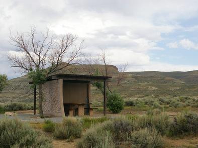
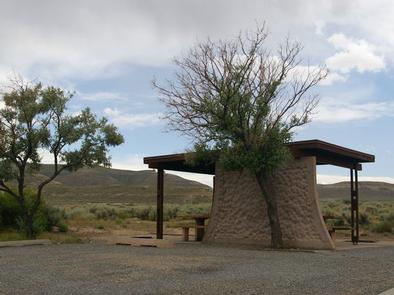
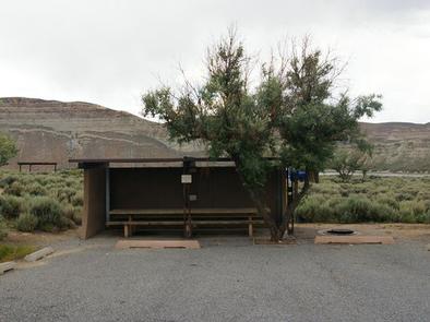
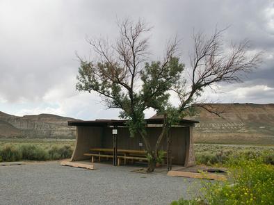
The campground contains several family campsites. Each campsite has a cabana, picnic table and campfire ring. Flush toilets, showers, drinking water and trash collection are provided. Roads and parking spurs are paved. A dump station is located on-site.
Natural Features
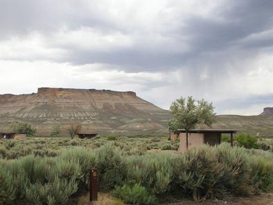
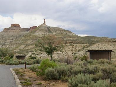
The campground lies in a high desert environment at an elevation of 6,300 feet. Russian olive trees and sagebrush are scattered throughout the site. Shade is minimal. The site affords scenic views of the reservoir and surrounding bluffs and red rock formations.
Nearby Attractions
Flaming Gorge Dam offers guided tours of the working hydroelectric plant and the dam, and the adjacent visitor center contains area history exhibits.
Nearby Activities
- Boating
- Camping
- Fishing
- Swimming site
Gallery
Directions
From Vernal, Utah, take U.S. 191 north about 95 miles, passing through Dutch John, to Forest Road 106. Go west on Forest Road 106 for about 10 miles to the campground.
From Manila, Utah, take Highway 44 toward Highway 43. Take Highway 43 to I-80. Take I-80 east about 13.5 miles to the junction with U.S. 191. Turn south on U.S. 191 and continue 13 miles to Forest Road 106. Take Forest Road 106 west about 10 miles to the campground.
From Rock Springs, Wyoming, take I-80 west toward Green River about 6 miles to the junction with U.S. 191/Flaming Gorge Road. Take U.S. 191 13 miles south. From U.S. 191, go west on Forest Road 106 about 10 miles to the campground.
GPS Coordinates
Latitude 41° 20′ 58.9999″ N
Longitude 109° 26′ 46.1198″ W

