Overview
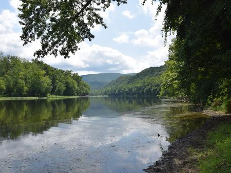
The Fifteen Mile Creek Campground is located at Mile 140 on the C&O Canal Towpath, in the town of Little Orleans upstream of Hancock and downstream of Paw Paw, WV, on the Maryland side of the of the Potomac River. The campsites are drive-in, large enough to park a small fifth wheel/travel trailer/RV/pop-out with a 20′ ft. maximum.
Recreation
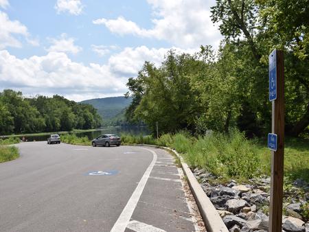
The most popular activity for Fifteen Mile Creek campers is boating and fishing. The campground has a boat ramp for easy access to the Potomac River for kayakers and fisherman alike. Be sure to acquire a Maryland Fishing License for those age 16 or older.
Facilities
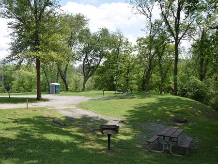
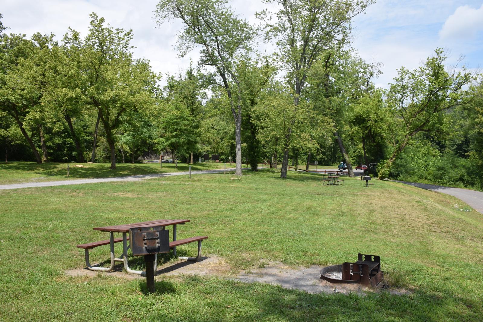
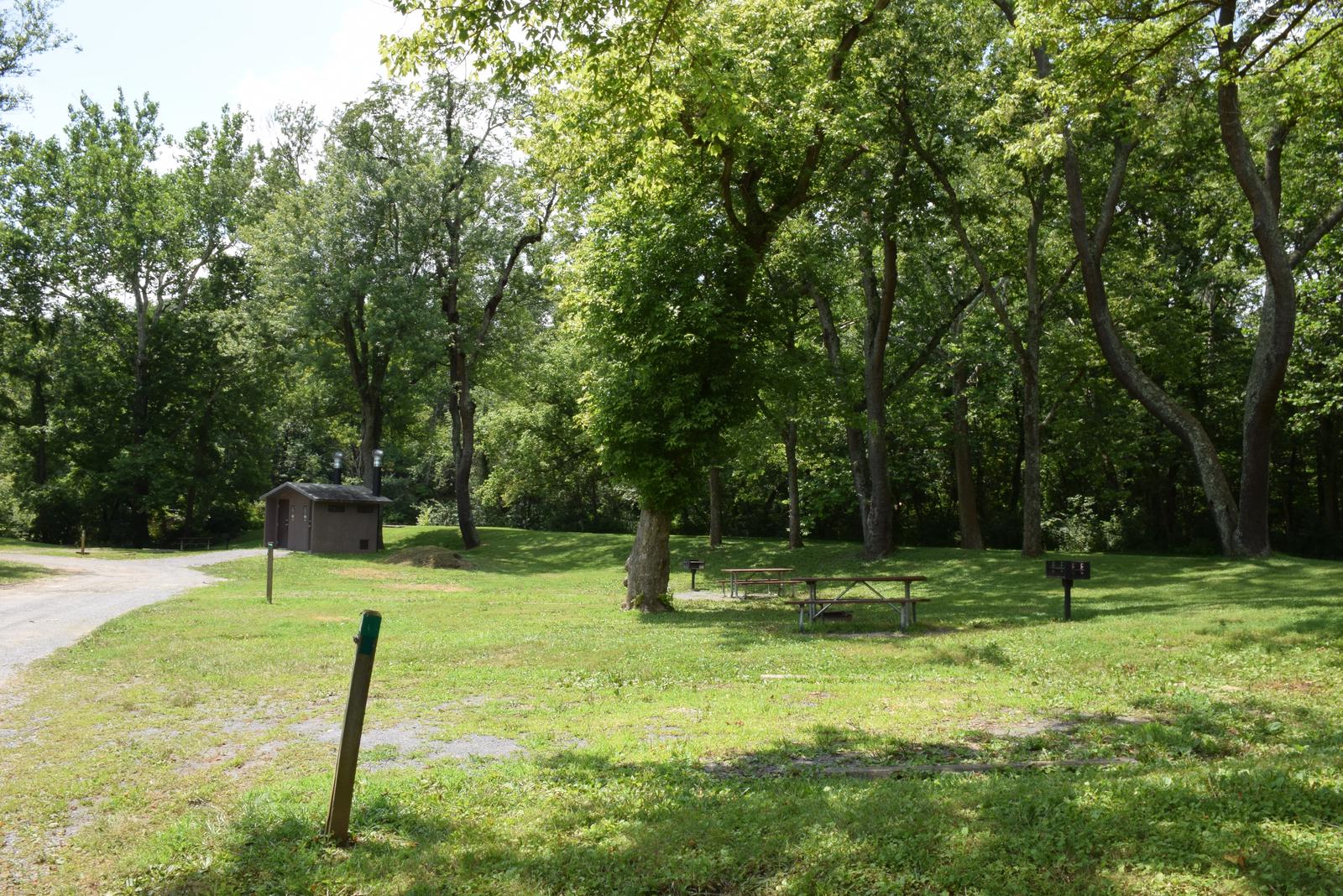
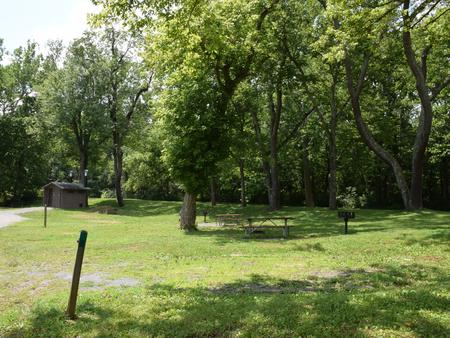
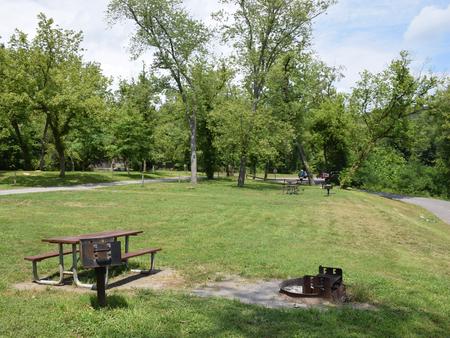
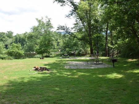
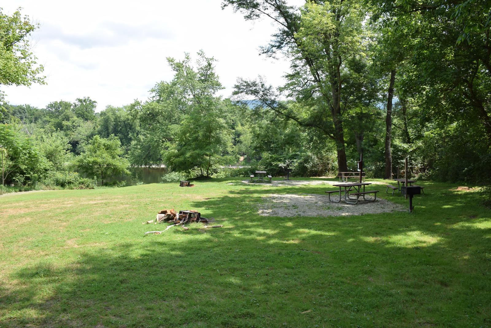
The campground has nine single drive-in campsites. There is one group site available that does not have direct vehicle access. The group site can accommodate 30 people. Each single will accommodate up to eight people. Single campsites have a picnic table, fire ring and grill. Protected pit toilets are located between campsite #3 and campsite #4 along the dead end circle. Potable hand pump water is available from April 15 – October 31. No motor vehicle traffic is allowed on the towpath. Parking is allowed in the drive-in campsites and the adjacent parking lot for vehicles with trailers and support vehicles for the group site.
Natural Features
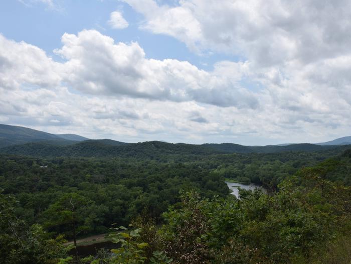
Fifteen Mile Creek Campground is adjacent to the confluence of Fifteen Mile Creek and the Potomac River on the Maryland side. Tucked in the mountains of Western Maryland and adjacent to Green Ridge State Forest, natural beauty is plentiful all times of the year, but especially during autumn.
Nearby Attractions
Greenridge State Forest and Billmeyer Wildlife Management Area are state managed areas available for additional activities. This area is remote.
Nearby Activities
- Biking
- Camping
- Fishing
- Hiking
Gallery
Directions
From Hagerstown: Take I-70W to I-68 W. Take Exit 68 towards Little Orleans. Follow Orleans Rd for 4 miles. Make a left on High Germany Rd. and it will dead end at the campground. From Cumberland: Take I-68 east for 25 miles to exit 68 and then follow Orleans Road for 4 miles. Make a left on High Germany Rd and it will dead end in the park.
GPS Coordinates
Latitude 39° 37′ 29.0399″ N
Longitude 78° 23′ 5.4301″ W

