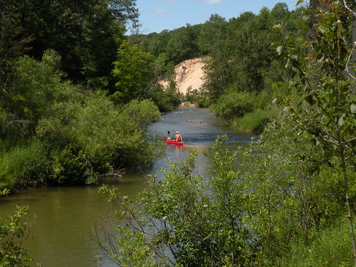
The parking lot is located at the top of a steep stairway. Visitors are asked to not disturb the wood turtles. There is a large patch of poison ivy near the water.
To download the Pine River, National Scenic River, brochure, with map, visit the Maps and Publications section of the website or select this link: http://www.fs.usda.gov/Internet/FSE_DOCUMENTS/stelprdb5172185.pdf. This brochure is set to print on 11 x 17 paper, landscape (wide) orientation. To print on 8 1/2 x 11 paper set the print area to "shrink to printable area", this will make the text on the page smaller.
Brochure and Map: This brochure is set to print on 11 x 17 paper, landscape (wide) orientation. To print on 8 1/2 x 11 paper set the print area to "shrink to printable area", this will make the text on the page smaller.
Directions
From Manistee –
- Travel east on M-55 for 26 miles.
- Turn right and travel south on M-37 for 2 miles.
- Turn left and travel west on 48 Mile Rd. for 2 miles.
- Keep right when the road becomes gravel.
- The entrance is on the left.
GPS Coordinates
Latitude 44° 10′ 47.9928″ N
Longitude 85° 45′ 32.0076″ W