Overview
Cold Springs campground is within close proximity to Travertine Creek, hiking trails and natural springs.
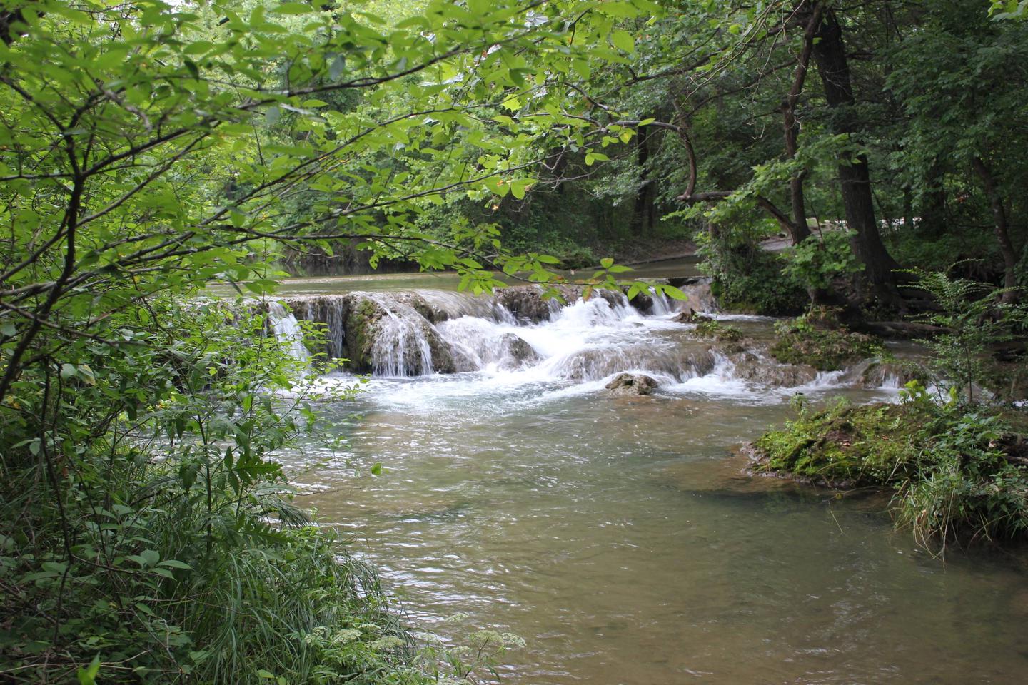
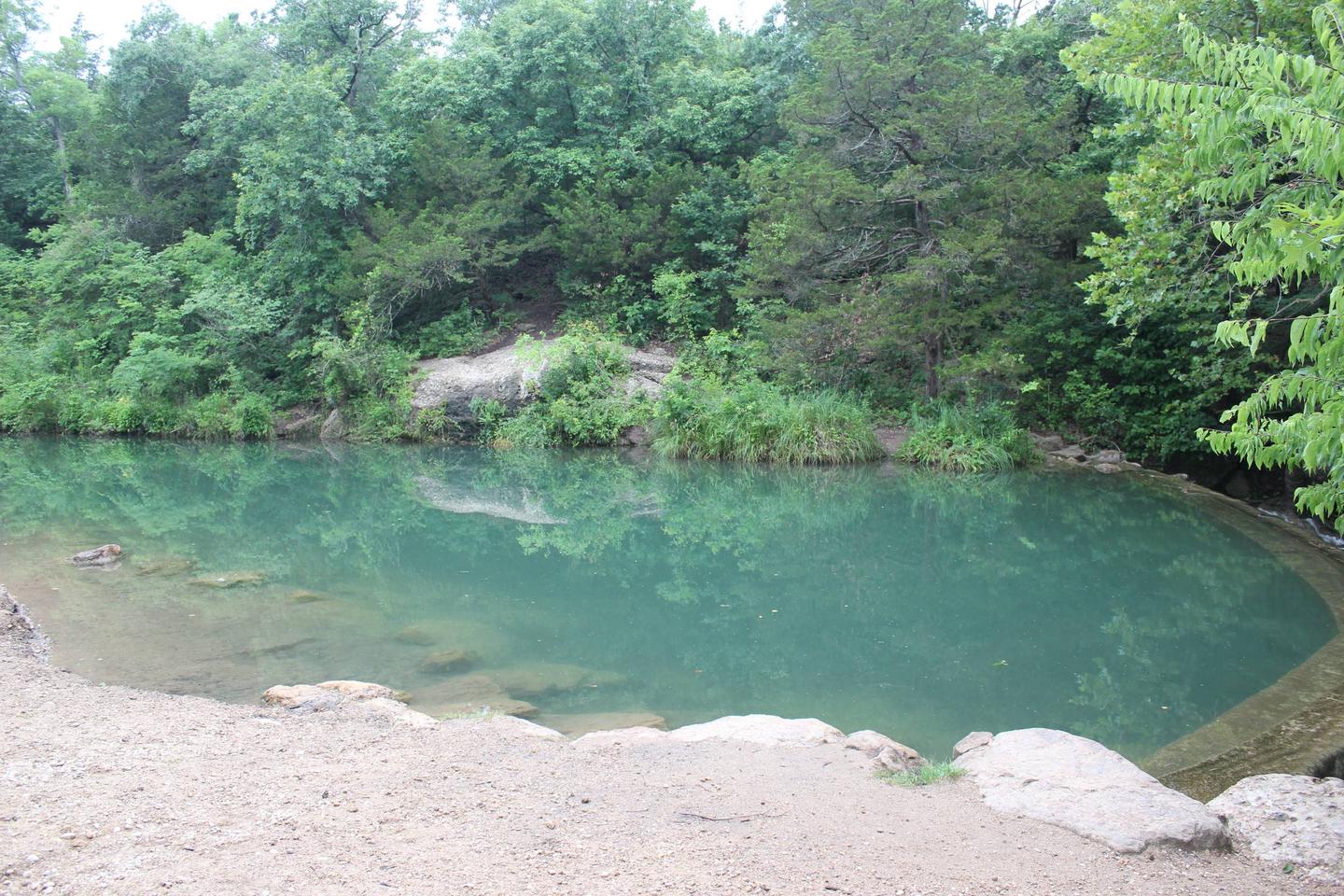
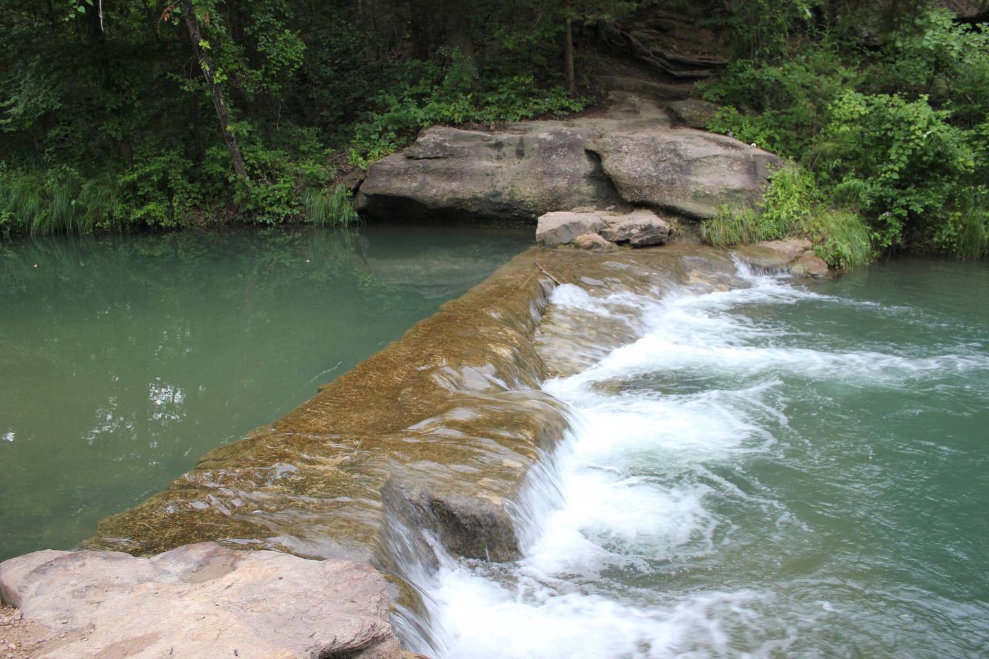
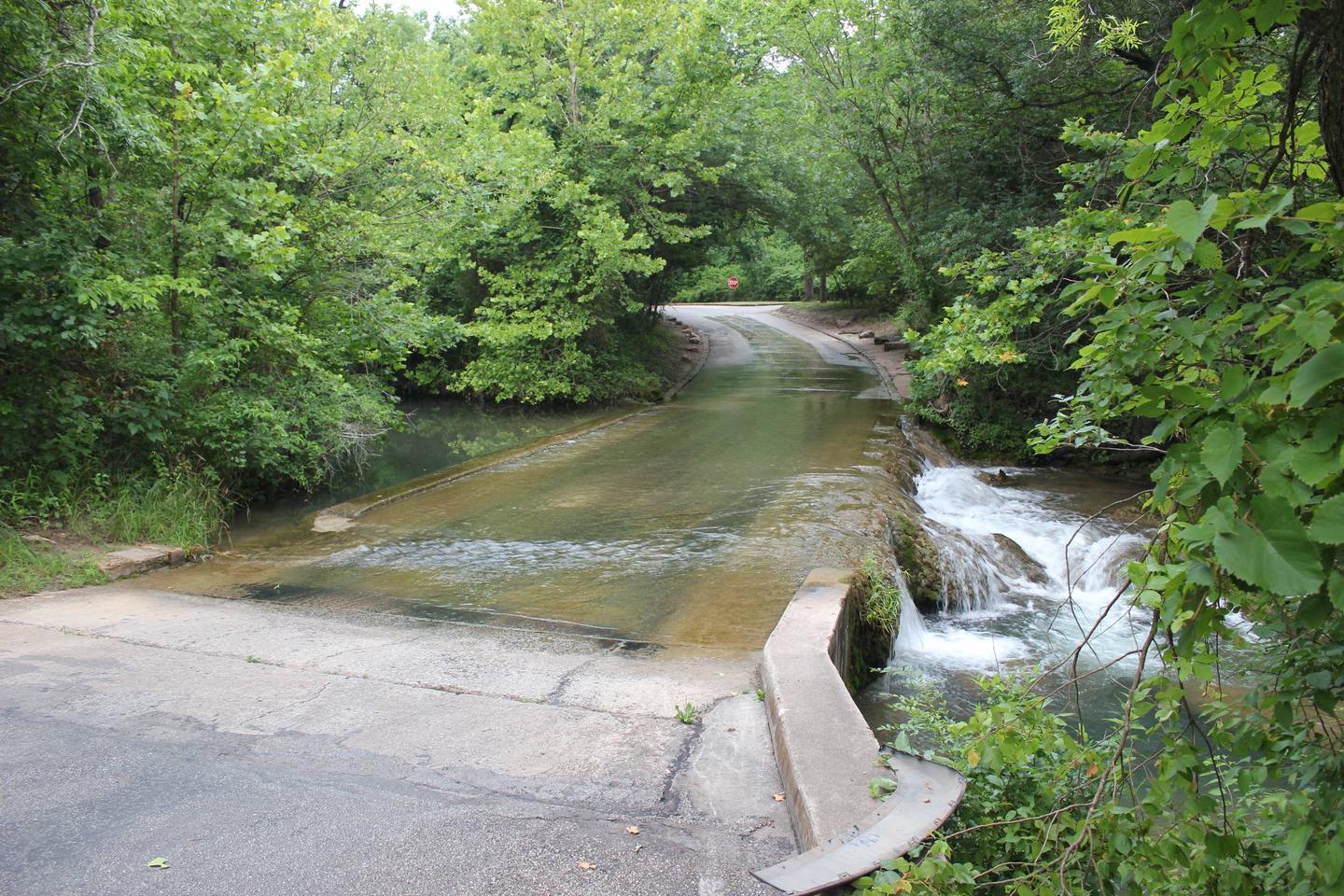
The most popular attraction for campers at Cold Springs is Bear Falls, which is just across the road. The falls are a favorite swimming area to cool off on hot days. Garfield Falls is another watering hole with easy access.
Recreation
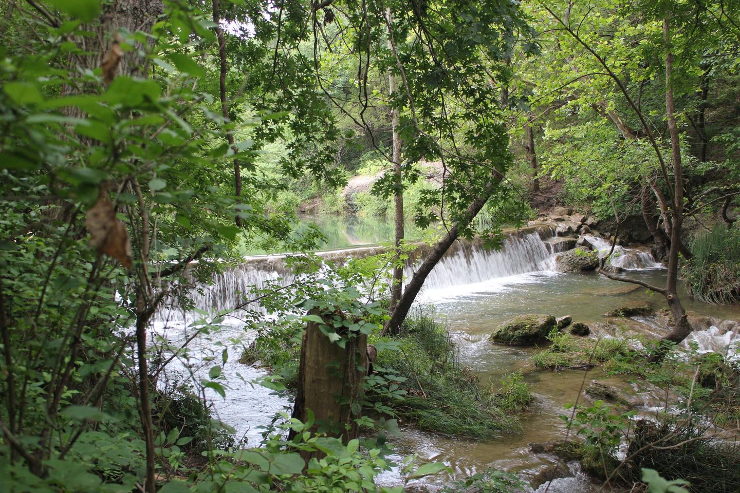
Just across the road is Travertine Creek, with a popular swimming area at Bear Falls. The creek is fed from the cool, clear waters of Antelope and Buffalo Springs.
Facilities
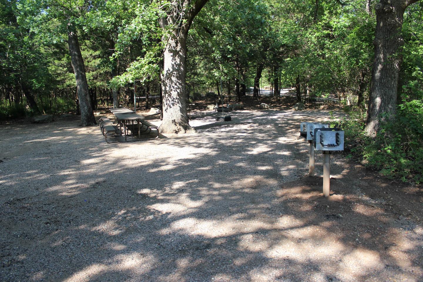
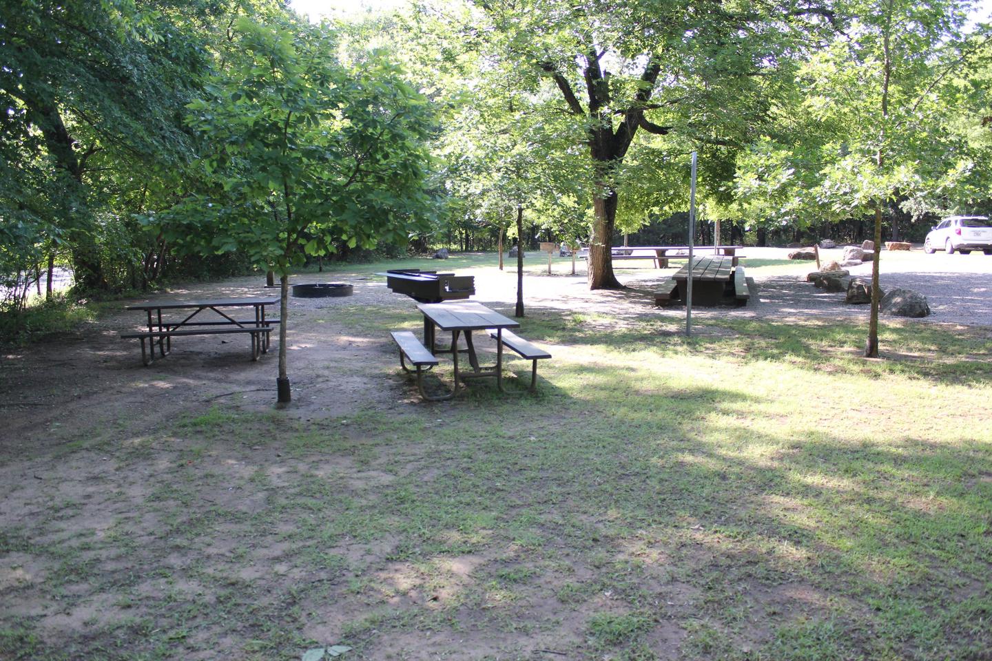
Cold Springs is a handy campsite for big families, friends and outdoor clubs. The two non-electric group sites are best for tent camping, though small RVs and pop-up campers (less than 20′) may fit.
Natural Features
Mature oak and hickory forests cover this historic part of Chickasaw National Recreation Area. The park is characterized by complex geology as intensive faulting, folding, and rock deformations have combined to form a landscape of gently rolling hills dissected by gentle streams.
Nearby Activities
- Biking
- Historic & cultural site
- Camping
- Hiking
- Water sports
- Wildlife viewing
- Swimming site
Gallery
Directions
From I-35, take Exit #55 and drive towards the city of Davis, OK.
Once in Davis, go east on Highway 7 to the Chickasaw National
Recreation Area you desire. Watch for Chickasaw National Recreation
Area signs to direct you to your selected area.
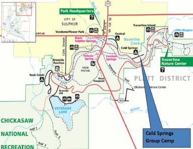
Central and Cold Springs Campgrounds and Travertine Nature Center
(East Historic Platt) – Drive approximately 8 miles east of Davis
to the only 4 way STOP (Jct Hwy 7 and Hwy 177) in the city of
Sulphur. Turn south (right) for approximately .2 miles on Highway
177 to the first left turn. Central Campground is approximately
.25 mile east on NE Perimeter Road. Cold Springs Campground is
approximately another .4 mile east of Central. The Travertine
Nature Center is approximately .9 miles east of Cold Springs.
GPS Coordinates
Latitude 34° 30′ 18.0000″ N
Longitude 96° 58′ 3.0000″ W

