Overview
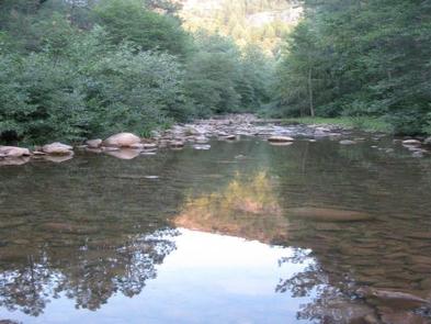
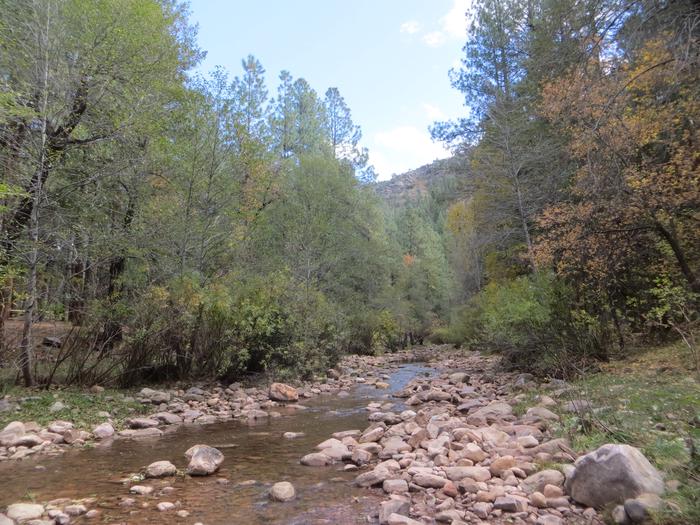
With an elevation over a mile-high(5640 ft), Christopher Creek Campground’s crisp, fresh air and vibrant views are a joy to behold. The facility is tucked along the banks of the spring-fed Christopher Creek, which passes just below the Mogollon Rim.
The Mogollon Rim, pronounced by locals as "muggy-own," is a 200-mile long cliff in northern Arizona that ranges between 5,000 and 7,000 ft in elevation. The unique landscape was created by extreme erosion and faulting that has sculpted spectacular canyons and buttes. The rim serves as the geographical dividing line between the cool high country above and the hot, dry desert below. Christopher Creek is located in the desert portion, but is balanced by the cool waters of the creek and forested surroundings.
Recreation
After a day of horseback riding or mountain biking, take a dip in one of the facility’s three swimming holes to cool off from the summer sun. Or if winter is more your thing, visit during the snowy months to take advantage of the miles of cross-country skiing available. Each spring, the creek is stocked with rainbow trout, allowing anglers the opportunity to cast their hearts out for rainbows as well as brook and brown trout.
Facilities
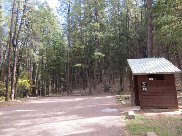
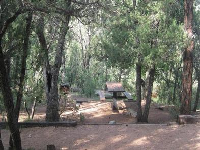
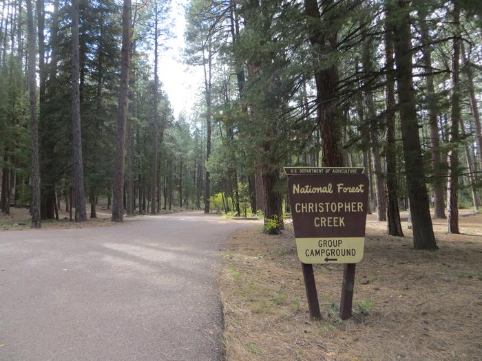
The family-friendly campground has 43 sites on both sides of the creek, plus a group site that accommodates a maximum of 25 people.
Natural Features
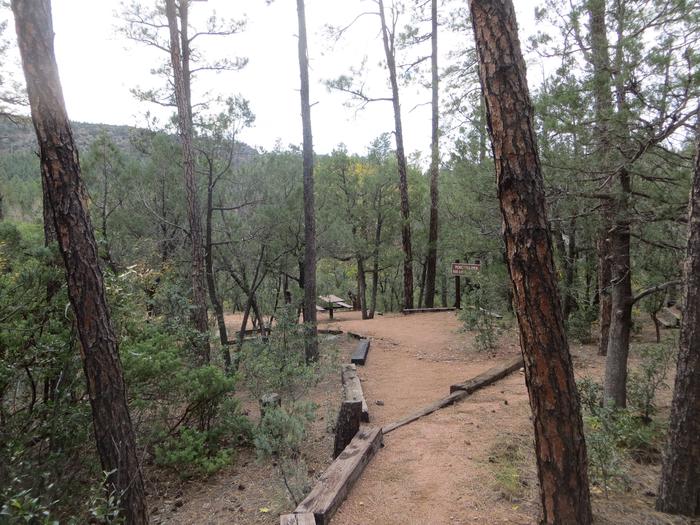
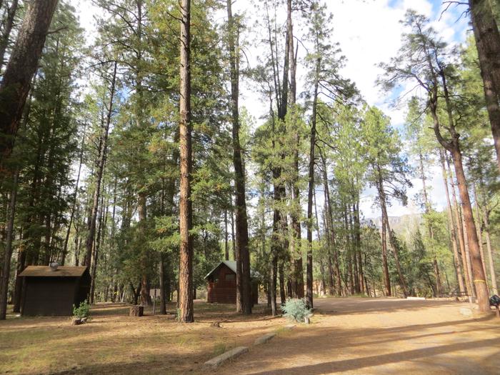
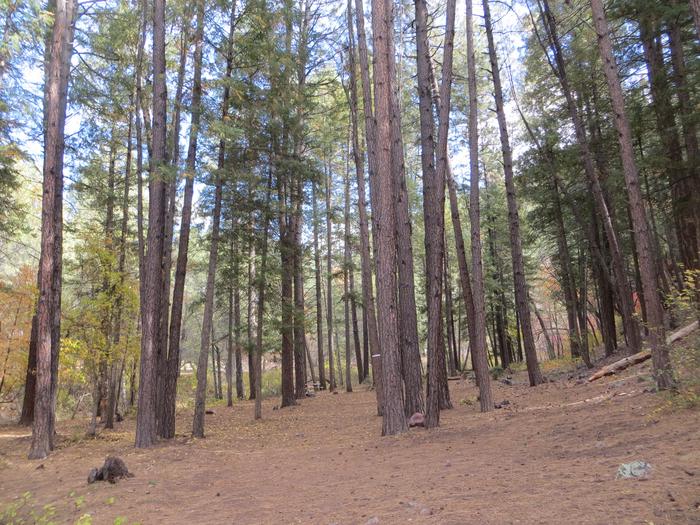
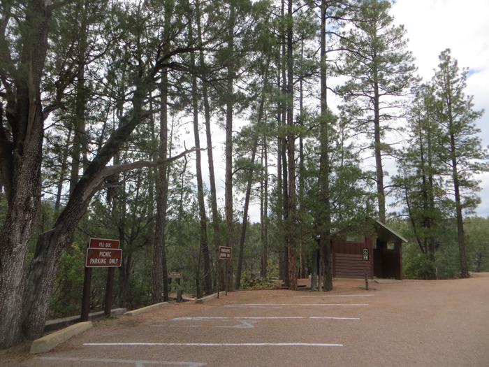
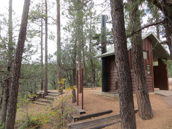
Christopher Creek provides creek side dwelling in Tonto National Forest, at the base of the Mogollon Rim. Sites are surrounded by ponderosa pines, junipers, oaks and manzanita evergreen shrubs.
Nearby Attractions
The small town of Christopher Creek is just a short drive away and offers a few restaurant options for those who tire of cooking at the campground.. A series of lakes called the Rim Country Lakes are about a 10 minute drive east. Woods Canyon Lake is one of the most popular recreational lakes in the state and offers options for boating as well as a nature trail that loops around the lake’s perimeter.
Nearby Activities
- Camping
Gallery
Directions
From Payson, Arizona, take Highway 260 east for 21 miles to the Christopher Creek Campground turnoff. Take Forest Road for 1/4 mile to the campground, Ask host for directions to campsite.
GPS Coordinates
Latitude 34° 18′ 29.0002″ N
Longitude 111° 2′ 4.9999″ W

