Overview
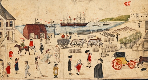
No place in the Caribbean still demonstrates the architectural, economic, and political influence of Europe like Christiansted National Historic Site. Come wander through 18th century buildings in one the Caribbean’s few urban parks. It is a unique experience that you will never forget.
Reservations
Attractions
Campgrounds/Day Use
Nearby Activities
- Historic & cultural site
- Picnicking
Gallery
Getting Here
GPS Coordinates
Latitude 17° 44′ 15.7885″ N
Longitude 64° 43′ 44.6242″ W
Driving Directions
To Christiansted National Historic Site from Henry E. Rohlsen Airport: Drive east on Route 64 to Melvin Edwards Highway (Route 66). Turn right and continue for 4.8 miles (7.2 kilometers). Continue straight onto Old Centerline Road (Queen Mary Highway), and continue straight onto the Christiansted Bypass 3.7 miles (5.9 km). Turn left onto Hospital Street. The parking lot for Christiansted National Historic Site will be on your right.

