Overview
Chekaka Campground is closed indefinitely.
Chekaka Recreation Area is situated on Lake Mendocino in California’s Mendocino Range, where redwood forests meet wine country.
The lake is formed by the Coyote Dam on the Russian River. A wide variety of recreational opportunities is available, including boating, swimming, water skiing, fishing, hiking and horseback riding.
Recreation
The 1,822-acre lake provides abundant boating, swimming and water skiing opportunities. Anglers will find sunfish, smallmouth bass, striped bass, crappie, white and channel catfish, bluegill and perch.
Several miles of trails wind around Lake Mendocino, including a 3-mile trail that begins at the lake overlook and loops around to the north end of the lake, where a designated swim beach is located.
The Lake Mendocino Disc Golf Course offers 18 holes between its north and south courses. The rolling terrain is heavily wooded in some areas, making for challenging tunnel shots with obstacles around most pins.
Facilities
Che Ka Ka Campground is closed. The Overlook Day Use Area in the Che Ka Ka Recreation Area is available for reservations.
Natural Features
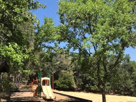
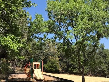
Lake Mendocino lies in the scenic rolling hills of Coyote Valley. Groves of oak mixed with manzanita and pines forest the area, offering limited shade and an excellent bird and wildlife habitat.
Nearby Attractions
The charming city of Ukiah, less than 15 minutes away, offers a variety of shopping and dining opportunities, museums and golf courses. The Ukiah Farmer’s Market runs Saturday mornings and Tuesday evenings throughout the summer, offering fresh produce, local wines, arts and crafts and live music.
Nearby Activities
- Biking
- Boating
- Camping
- Fishing
- Hiking
Gallery
Directions
From San Francisco, travel north on Highway 101 for 2 miles past Ukiah to Lake Mendocino Drive Exit. Turn left at North State Street traffic light, then right onto Lake Mendocino Drive. The campground is located at the top of the hill.
GPS Coordinates
Latitude 39° 12′ 11.0002″ N
Longitude 123° 11′ 11.0000″ W


