Overview
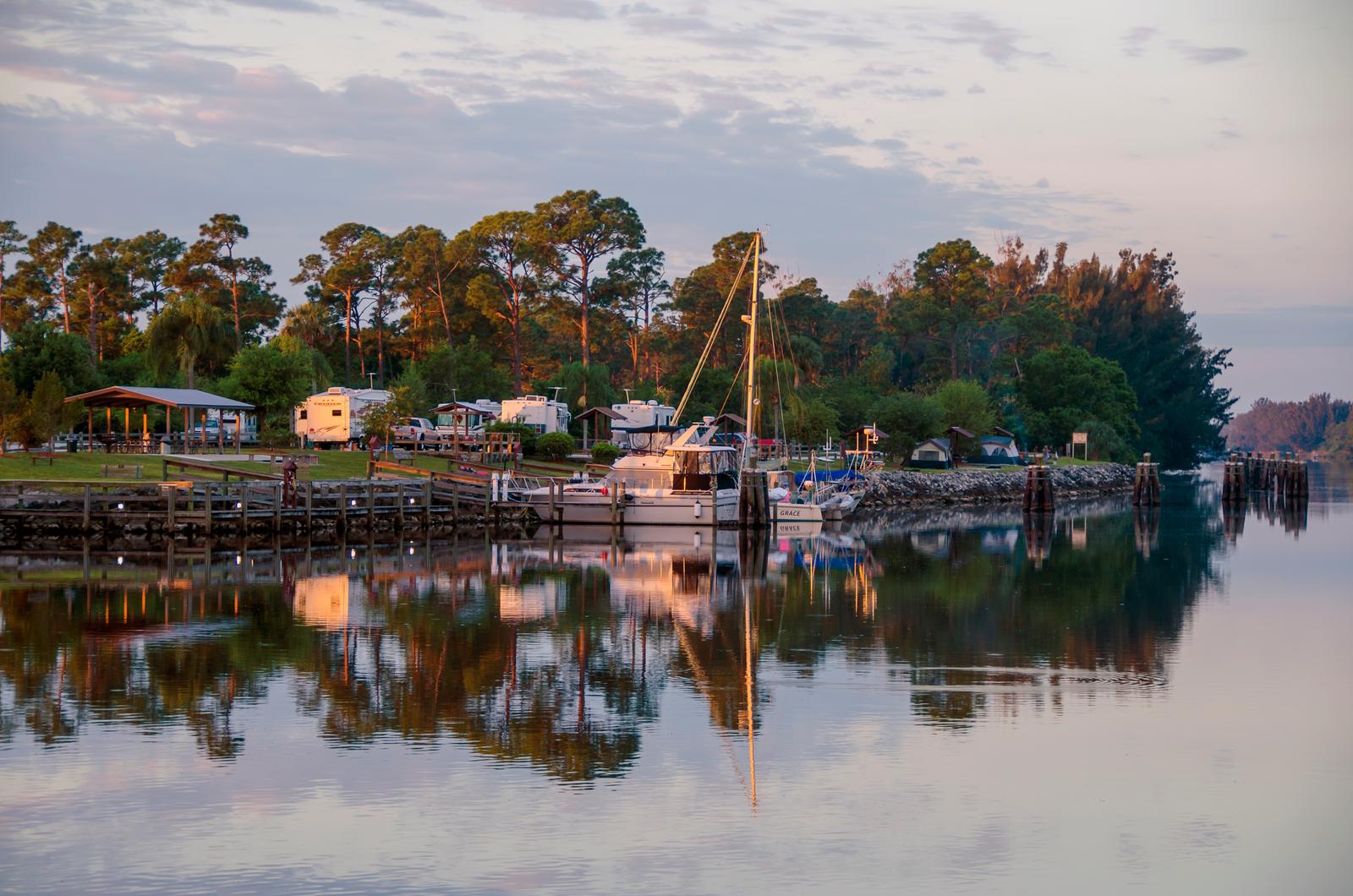
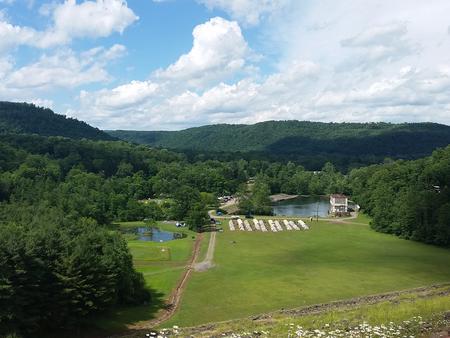
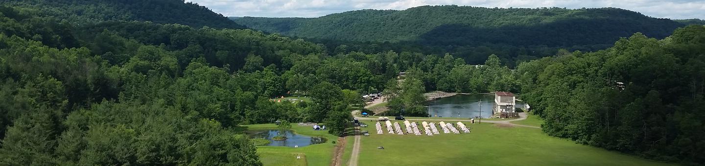
Visitors flock to W.P. Franklin Campground for its well-kept facilities and location on the Caloosahatchee River, where campers can fish, boat and take it easy in sunny southwest Florida.
The campground, about 10 miles east of Fort Myers, provides visitors with a taste of tranquil, tropical country life.
Nearby Telegraph Creek, offers exciting opportunities to canoe Florida’s backcountry swamps and view wildlife.
Recreation
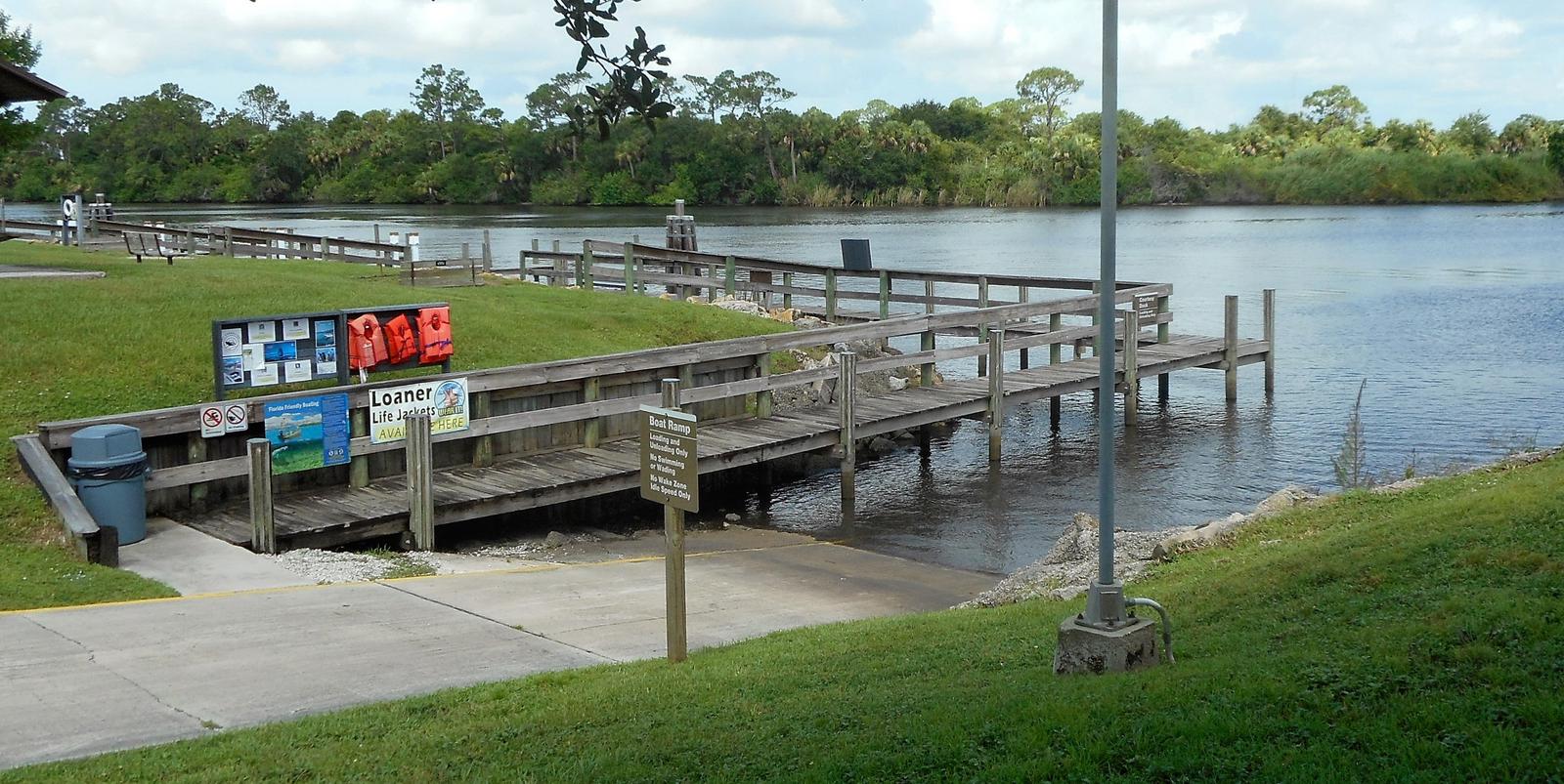
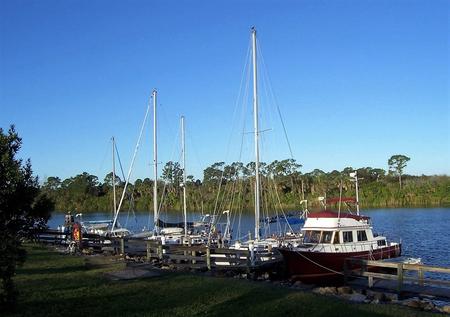
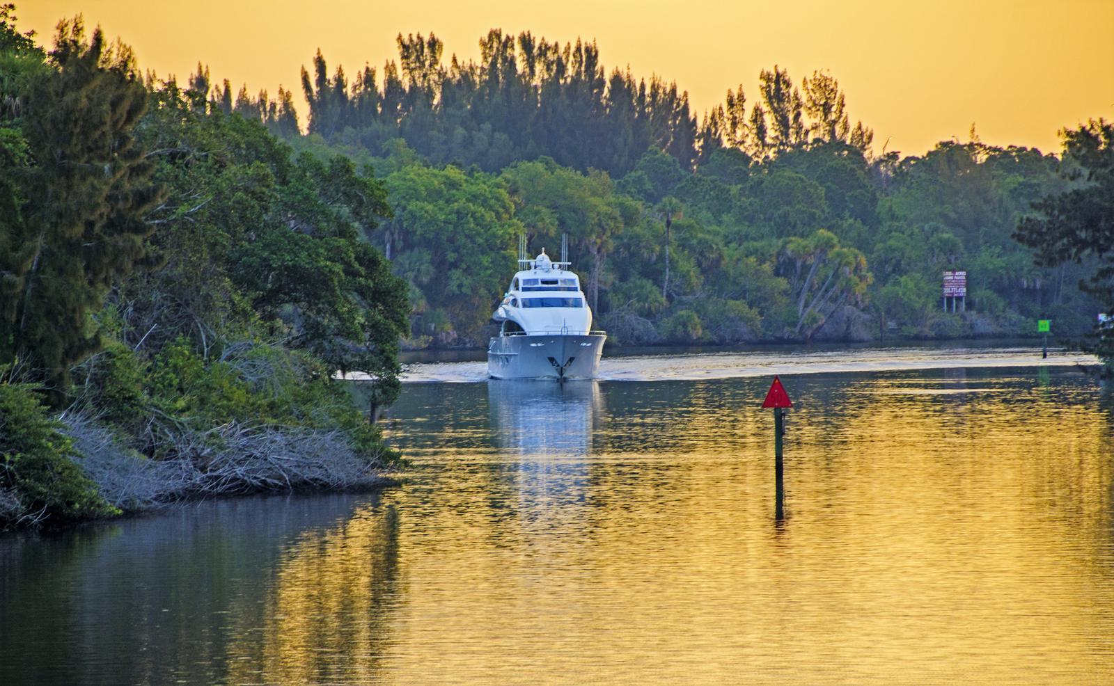
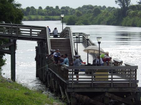
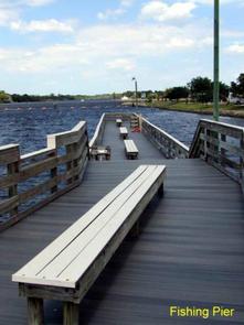
Fishing for both salt and fresh water game fish is popular, as is boating. A unique feature of the campground is its cruiser sites, where campers sleep on their boat while enjoying the perks of the campsite facilities.
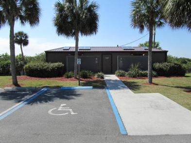
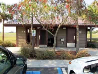
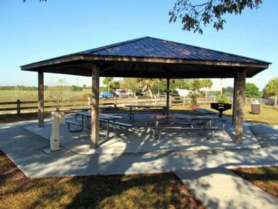
Facilities
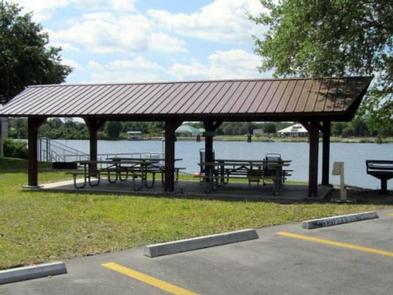
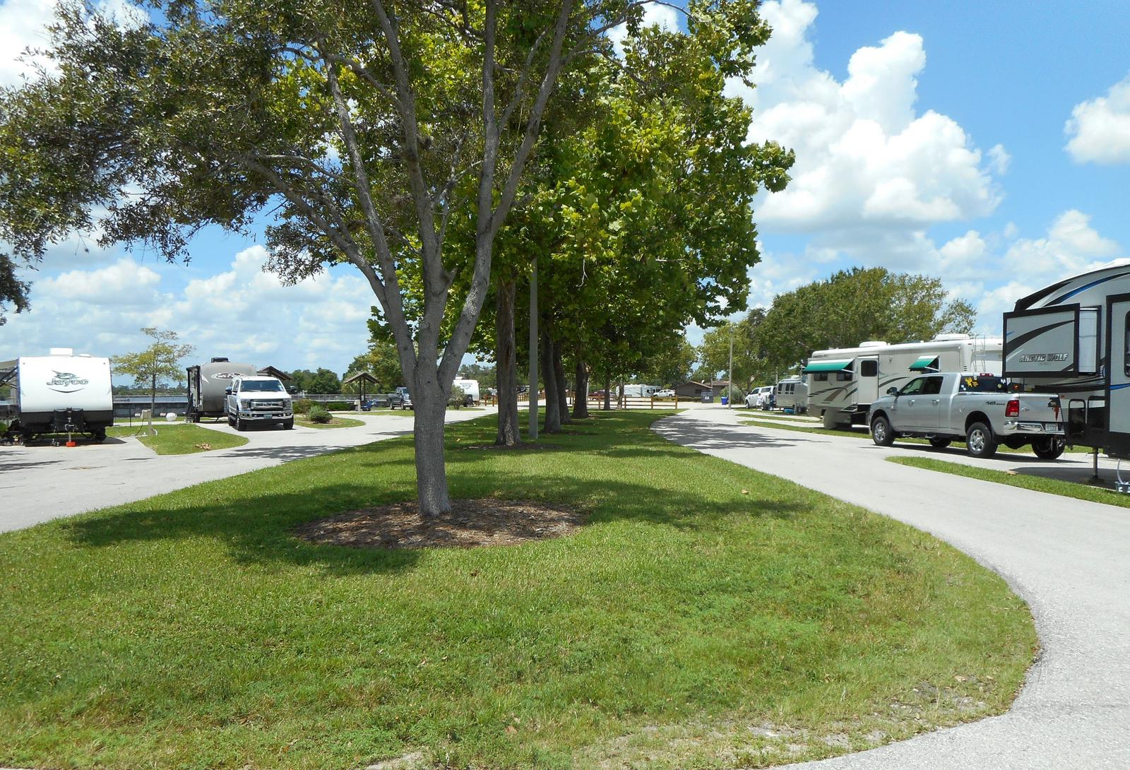
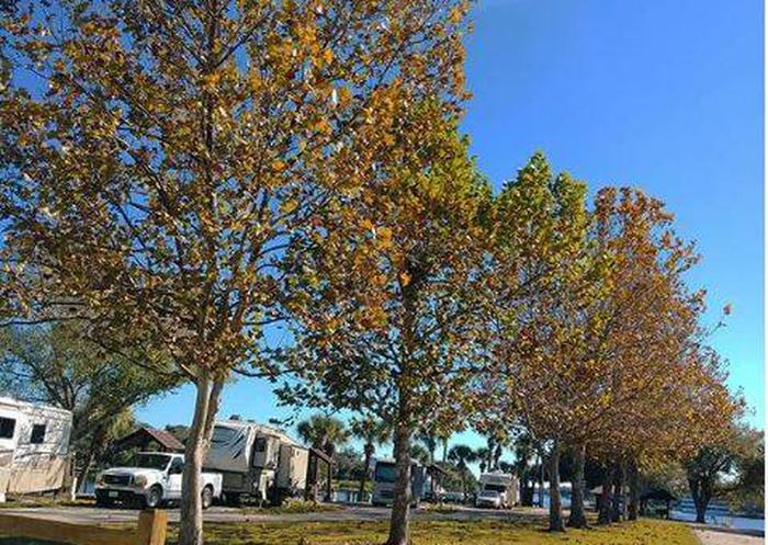
The 29 RV sites and 8 boat sites are equipped with 50 amp electric and water hookups. A boat ramp, fishing pier and trailer dump station are conveniently onsite.
Natural Features
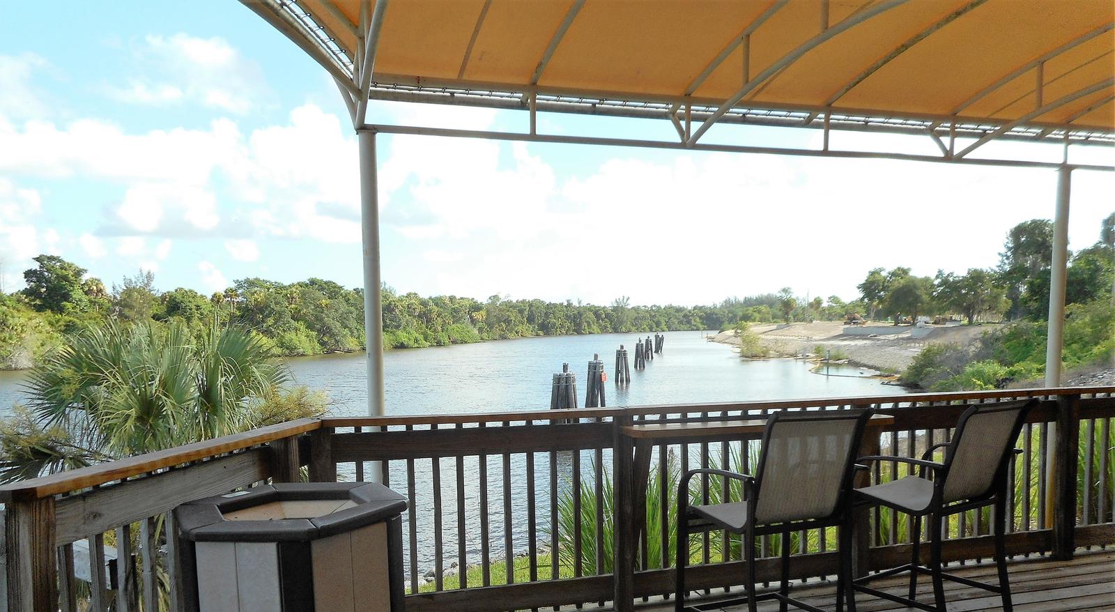
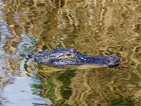
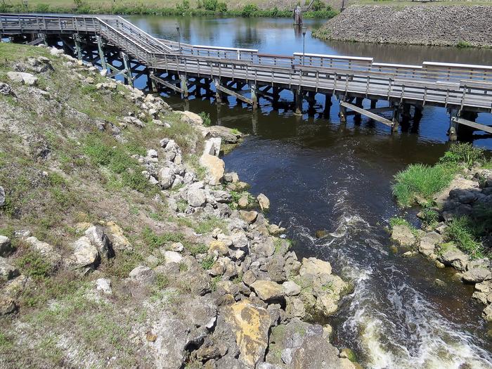
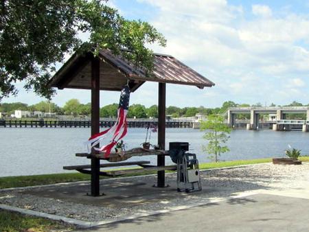
The campground is almost completely surrounded by the Caloosahatchee River with just a narrow stretch of land connecting it to the shore.
The Caloosahatchee River is part of the 152 mile Okeechobee Waterway that spans South Florida from the Atlantic Ocean to the Gulf of Mexico.
Nearby Attractions
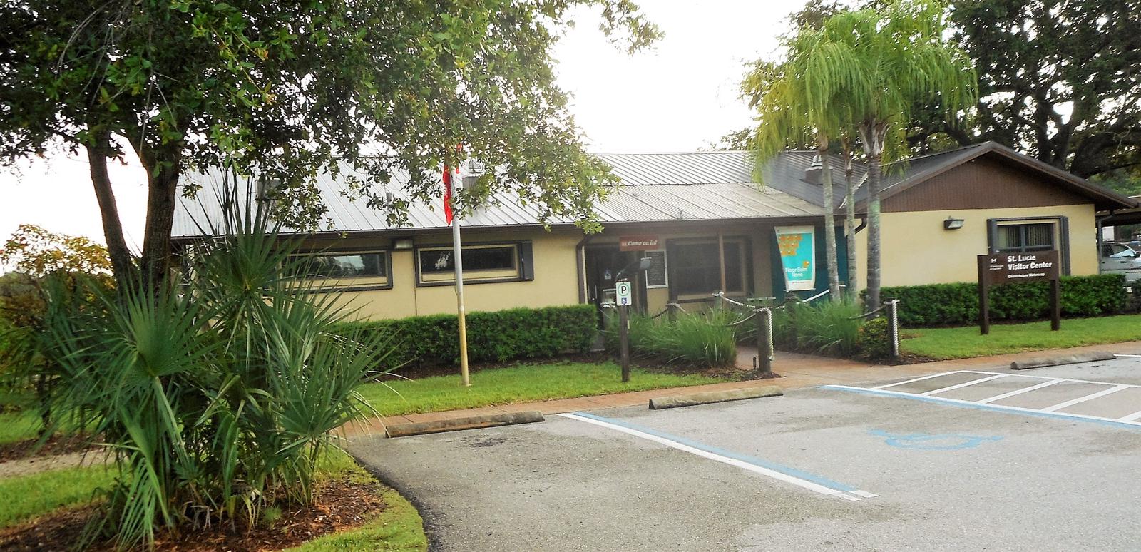
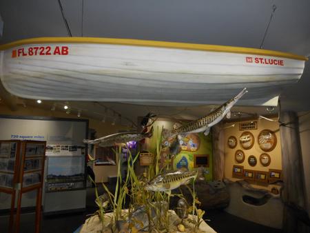
Visit the U.S Army Corps of Engineers visitor center across the river in the W.P. Franklin South Recreation Area.
Visit downtown Fort Myers for flea markets, grocery stores, shopping and the historic Thomas Edison and Henry Ford Winter Estates,
or spend a day exploring the sandy Gulf of Mexico beaches, about 45 minutes from the campground.
Nearby Activities
- Boating
- Camping
- Fishing
- Kayaking
- Birding
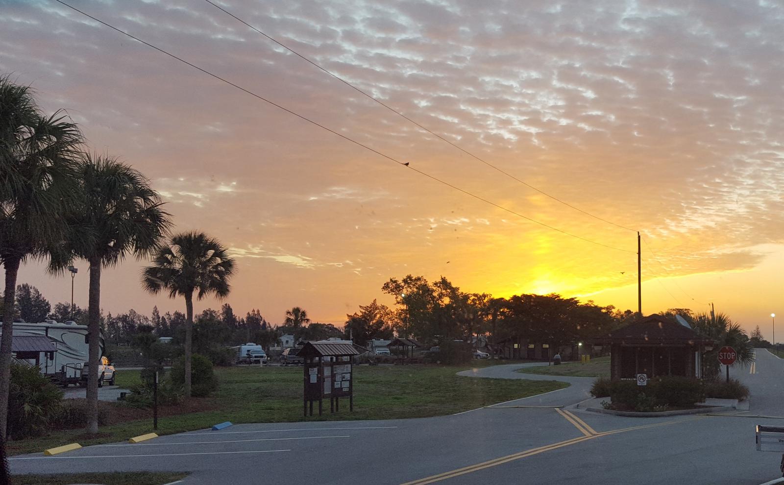
Gallery
Directions
From I-75, take Exit 141, following SR 80 E to SR 31. Turn N on
SR 31 and travel 4 mi to SR 78. Turn E on SR 78 for 3 mi and turn S on
North Franklin Lock Rd into the campground.
From I-75, take Exit 143, following Bayshore Boulevard E to SR 31.
Turn N on SR 31 and travel 1.5 mi to SR 78. Turn E on SR 78 for 3 mi and turn S on North Franklin Lock Rd into the campground.
GPS Coordinates
Latitude 26° 43′ 27.0001″ N
Longitude 81° 41′ 34.0001″ W