This recreation area is part of Tennessee-Tombigbee Waterway
Directions
GPS Coordinates
Latitude 34° 16′ 42.9420″ N
Longitude 88° 25′ 5.8728″ W
This recreation area is part of Tennessee-Tombigbee Waterway
Latitude 34° 16′ 42.9420″ N
Longitude 88° 25′ 5.8728″ W
This recreation area is part of Tennessee-Tombigbee Waterway
Latitude 33° 13′ 15.4033″ N
Longitude 88° 16′ 48.1124″ W
This recreation area is part of Tennessee-Tombigbee Waterway
Latitude 33° 12′ 40.4405″ N
Longitude 88° 17′ 6.3428″ W
This recreation area is part of Tennessee-Tombigbee Waterway
Latitude 34° 17′ 18.5928″ N
Longitude 88° 24′ 43.7760″ W
This recreation area is part of Tennessee-Tombigbee Waterway
Latitude 33° 30′ 27.5616″ N
Longitude 88° 29′ 33.5580″ W
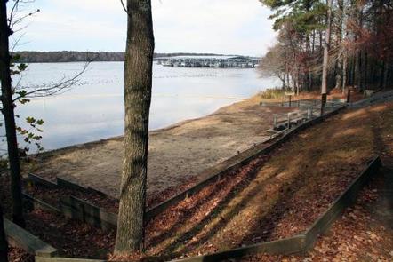
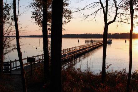
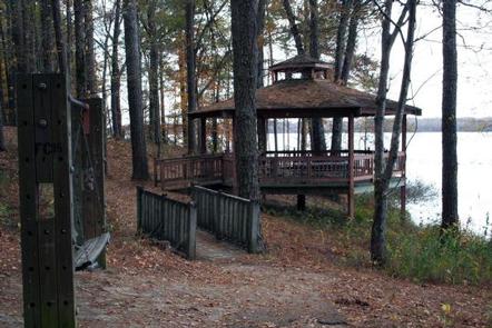
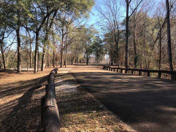
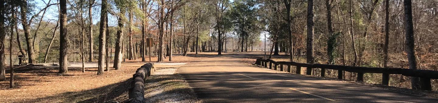
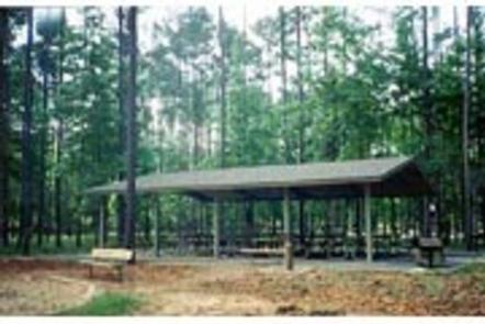
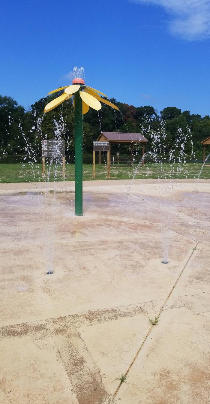
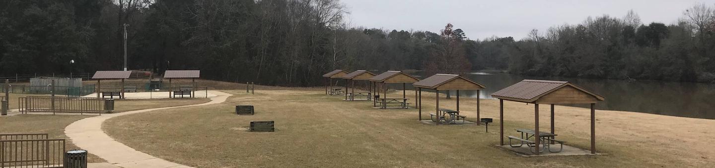
Whitten Park Campground attracts thousands of outdoor enthusiasts for picnicking, fishing and swimming on the Tennessee-Tombigbee Waterway. Easy access to three boat docks, nature trails and a sandy swimming beach with a gazebo overlooking the waterway, make Whitten Park a welcoming destination for campers.
Whitten Park is also referred to as Fulton Campground because of its location in Fulton, Mississippi.
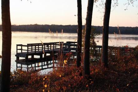
Anglers can try their luck on the fishing dock or go off-shore in search of bass and crappie. Hikers will enjoy many nature trails, which weave through wooded wildlife habitats.
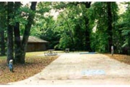
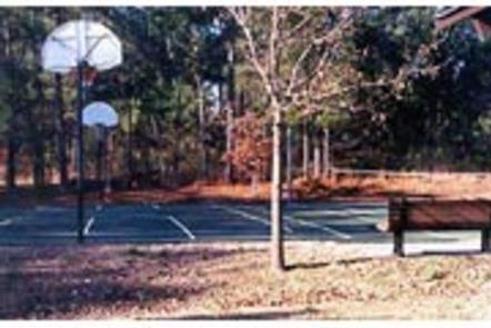
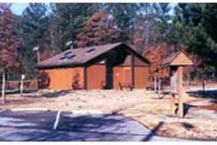
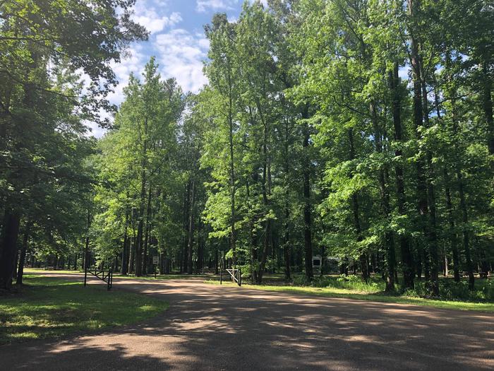
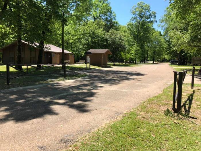
The campground offers 60 sites with electric and water hookups. The three camp loops provide easy access to playgrounds, laundry facilities and showers.
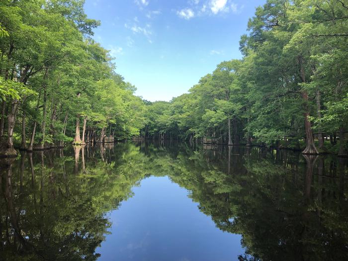
The Tennessee-Tombigbee Waterway extends 234 miles from the Tennessee River to the junction of the Tombigbee River in Alabama. The man-made waterway connects the nation’s midsection of commercial water transportation with the Gulf of Mexico. Features include ten lock and dams, Gainesville Lake, Aliceville Lake, Columbus Lake and Aberdeen Lake.
Tupelo, Mississippi, known as the birthplace of Elvis Presley, is 15 miles west.

From Interstate 22 , take Highway 25 (exit 104). Then turn left at the first red light, then turn left onto Access Road at the next traffic
light. Go north 4 miles. Campground is on the left side of the road
within the Jamie L. Whitten Historical Center Park.
Latitude 34° 17′ 22.9999″ N
Longitude 88° 24′ 56.9999″ W
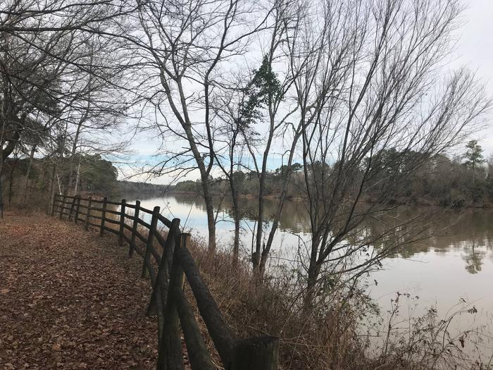
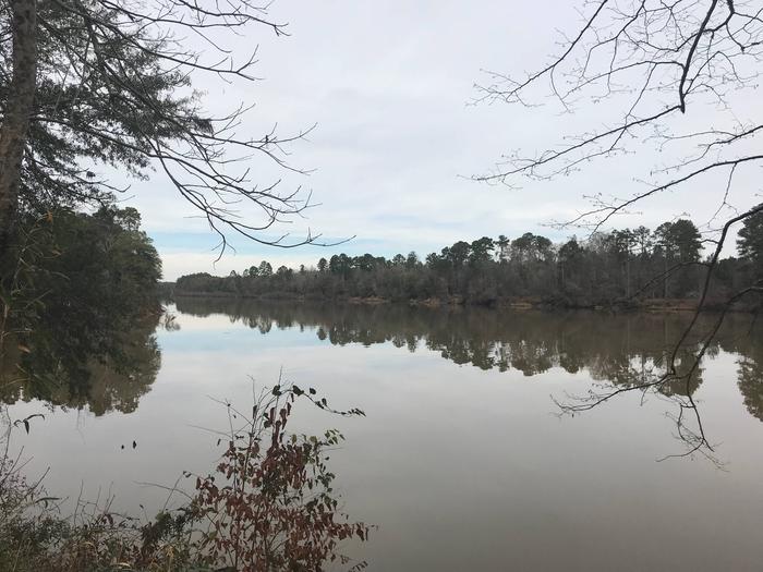
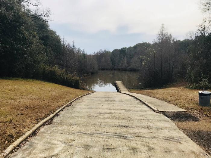
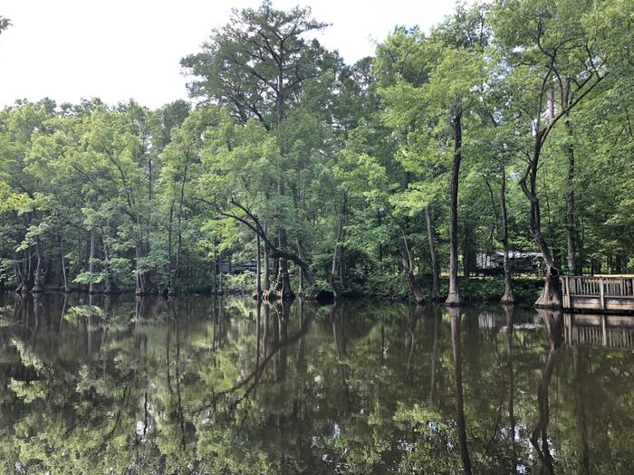
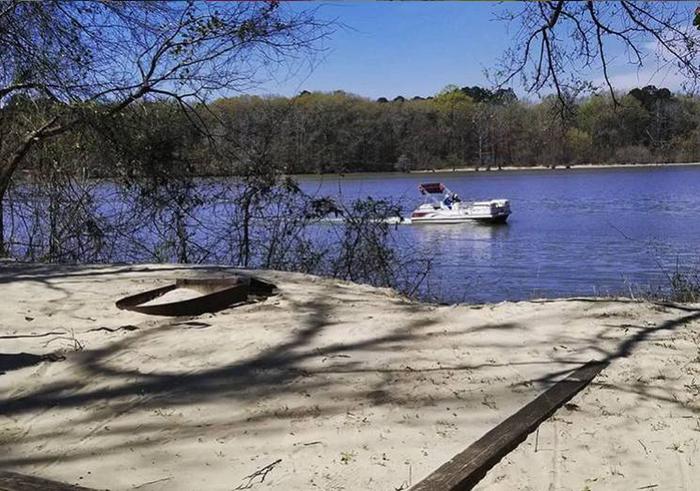
Town Creek Campground is located on the beautiful Columbus Lake in the Tennessee-Tombigbee Waterway.
The campground has direct access to the waterway for recreational boating activities and is a great place to relax and view the scenery.
With Columbus Lake and Kennedy Lake to explore, this facility has ample water recreation opportunities.
Anglers can try their luck on the fishing dock or head off-shore in search of bass, catfish and crappie.
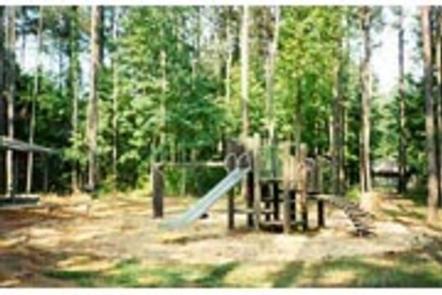
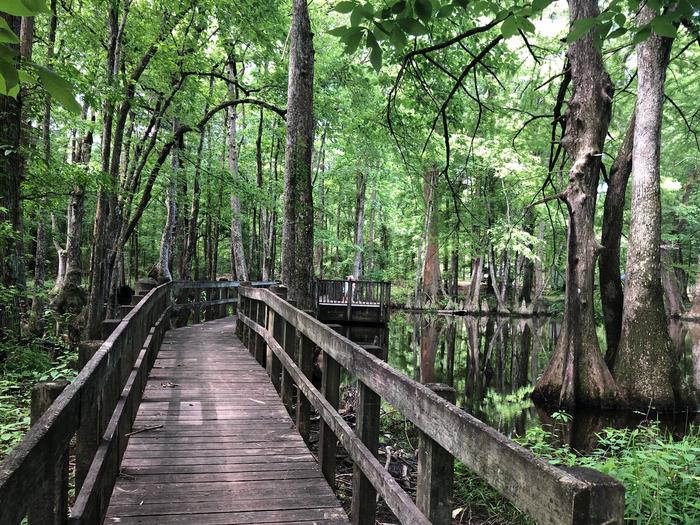
Families with children can play on the facility’s three playgrounds and go hiking, biking or birding. The nature trail circling the Kennedy Lake crosses the water in a number of places by way of wooden footbridges.
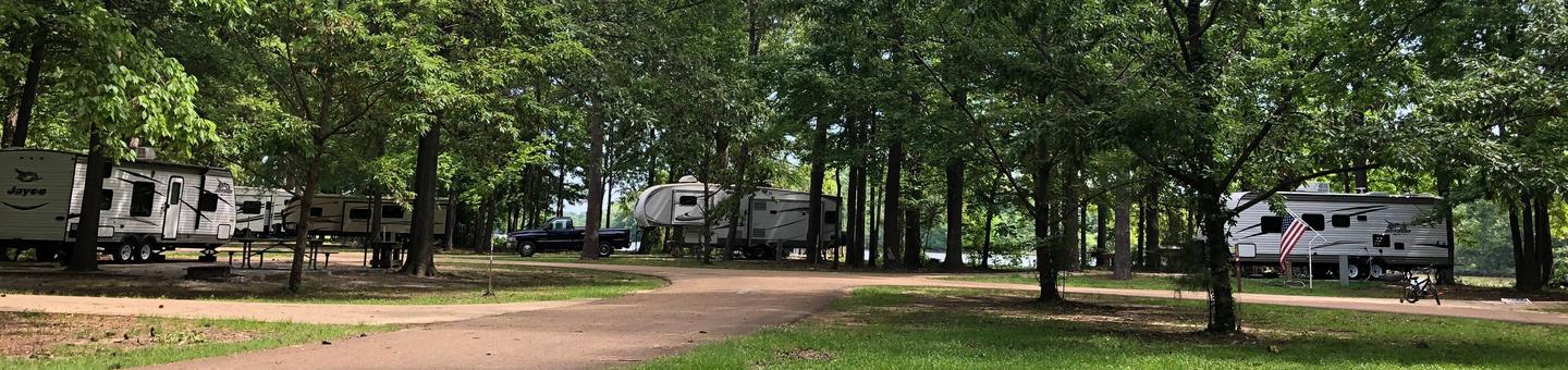
Town Creek offers 100 sites with electric and water hookups, picnic tables, fire rings with grills and lantern posts along the banks of the waterway. Campers have the convenience of hot showers and laundry facilities.
The campground also offers 10 primitive, tent-only sites along the Kennedy Lake shore.
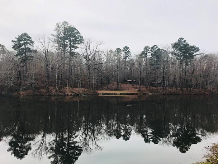
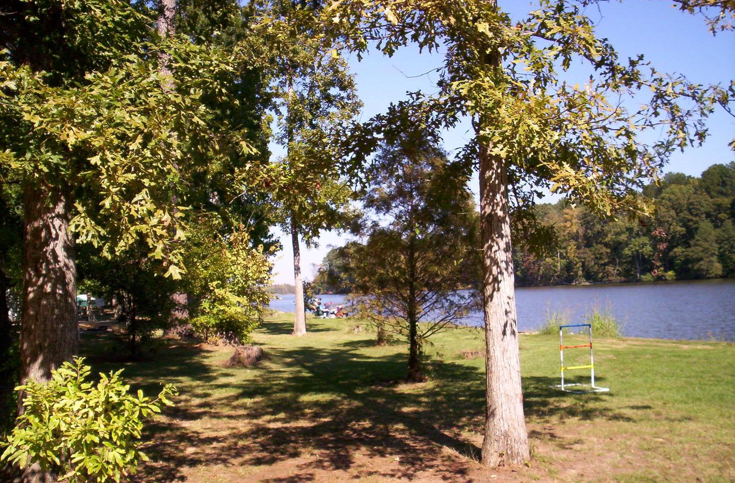
The thickly forested, sloping shoreline and calm water create a peaceful atmosphere. On top of the hill overlooking the Tombigbee is Kennedy Lake; on the back of the lake, water cascades down a stone waterfall and into a creek that
meanders through the park.
The Tenn-Tom, as the waterway is known, extends 234 miles from the Tennessee River to the junction of the Tombigbee River in Alabama. The man-made waterway connects the nation’s midsection of commercial water transportation with the Gulf of Mexico.
Town Creek Campground is just minutes from the cities of Columbus and West Point, Mississippi, which offer a variety of conveniences such as shopping, restaurants and golf courses.
From Columbus, Mississippi, take Highway 45 north to the junction with Highway 50. Turn left and follow 50 west past the Tenn-Tom Waterway bridge. Two miles west of the bridge, turn north onto Town Creek Road and follow the signs.
Latitude 33° 36′ 29.9999″ N
Longitude 88° 30′ 15.0001″ W
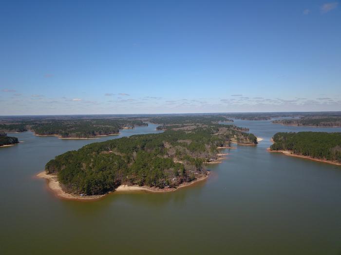
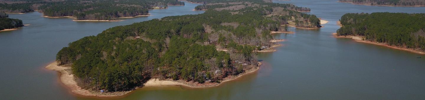
The Piney Grove Campground is on Bay Springs Lake, along the Tennessee-Tombigbee Waterway in northeastern Mississippi. It’s ideal for families and groups of friends looking for lots of water recreation.
Boat, fish, swim, hike, bike or just sit back and relax on the nine-mile lake. Bay Springs Lake is dotted with recreation areas for a true sampling of the outdoors.
Each of the 141 sites come with electric hookups, a lantern post, impact pad, campfire ring and picnic table.
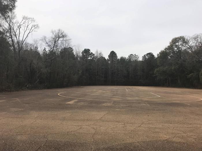
The park also has a playground, two multi-use courts, laundry facilities and an ice machine.
The Tennessee-Tombigbee Waterway extends 234 miles from the Tennessee River to the junction of the Tombigbee River in Alabama. The man-made waterway connects the nation’s midsection of commercial water transportation with the Gulf of Mexico. The Tenn-Tom Waterway is the largest earth moving project in the history of the world!
The Tenn-Tom Waterway has 180,000 acres of public land waiting for you to explore.
Piney Grove Beach is just a short walk or bike ride from the campground. We also have several other recreational areas around the lake including the very popular, Old Bridge Beach.

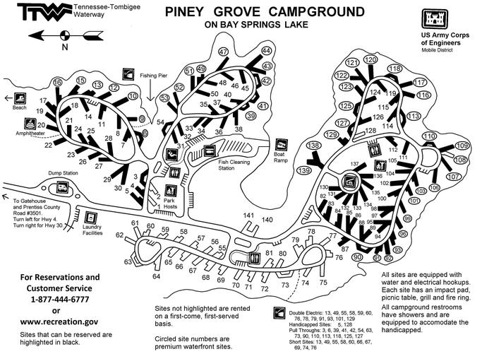
From Hwy 45 near Booneville, MS: take Highway 30 East for 15 miles to Burton, turn right on CR 3501. Follow for 3 miles and turn left on CR 3550 at the sign for Piney Grove Recreation Area. Go straight for 3 miles and you will arrive at Piney Grove Campground.
Latitude 34° 34′ 8.0000″ N
Longitude 88° 19′ 37.9999″ W
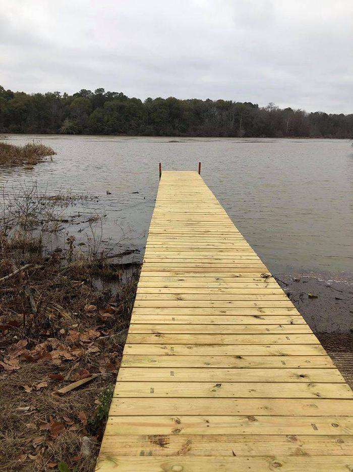
Pickensville Campground is located just west of Pickensville, Alabama, on Aliceville Lake on the Tennessee-Tombigbee Waterway.
This campground boasts both a campground and day use area with many activities and amenities for families and outdoor enthusiasts. Visitors enjoy hunting, fishing, picnicking, water sports and watching the barges go by on the waterway.
Families can swim at Pickensville’s beach, play on the multi-use court, walk along the wooded waterfront and learn about the natural and cultural history of the area at the amphitheater.
Anglers can try their luck on the accessible fishing dock or go off-shore in search of bass, walleye, crappie, catfish and sunfish.
Additionally, hunters can seek out a diverse range of high quality habitats for upland game and waterfowl species along the lands surrounding the waterway.
This facility offers 176 campsites that provide picnic tables, campfire rings with grills, electric and water hookups and plenty of shade. Some sites also provide sewer hookups for RV campers. There are accessible sites and restrooms.
Anglers can take advantage of an accessible fishing dock, boat ramp and fish cleaning station at the day use area just across the waterway from the campground. The day use facility also provides a swim beach, playground and picnic shelters.
The Tenn-Tom, as the waterway is known, extends 234 miles from the Tennessee River to the junction of the Tombigbee River in Alabama. The man-made waterway connects the nation’s midsection of commercial water transportation with the Gulf of Mexico.
In Pickensville, Alabama, visitors can learn the history of the waterway at the Tom Bevill Visitor Center which depicts an 1830-1850 era antebellum-style home, as well as explore the U.S. Snagboat Montgomery, a National Historical Landmark.


From Tuscaloosa, Alabama, take Highway 82 west to the junction with Highway 86. Turn left on 86 west to Pickensville. The entrance road to the campground is 2.5 miles from the yellow caution light.
Latitude 33° 13′ 35.0000″ N
Longitude 88° 16′ 36.0001″ W
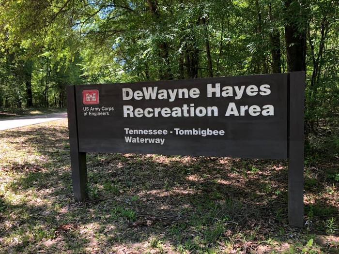
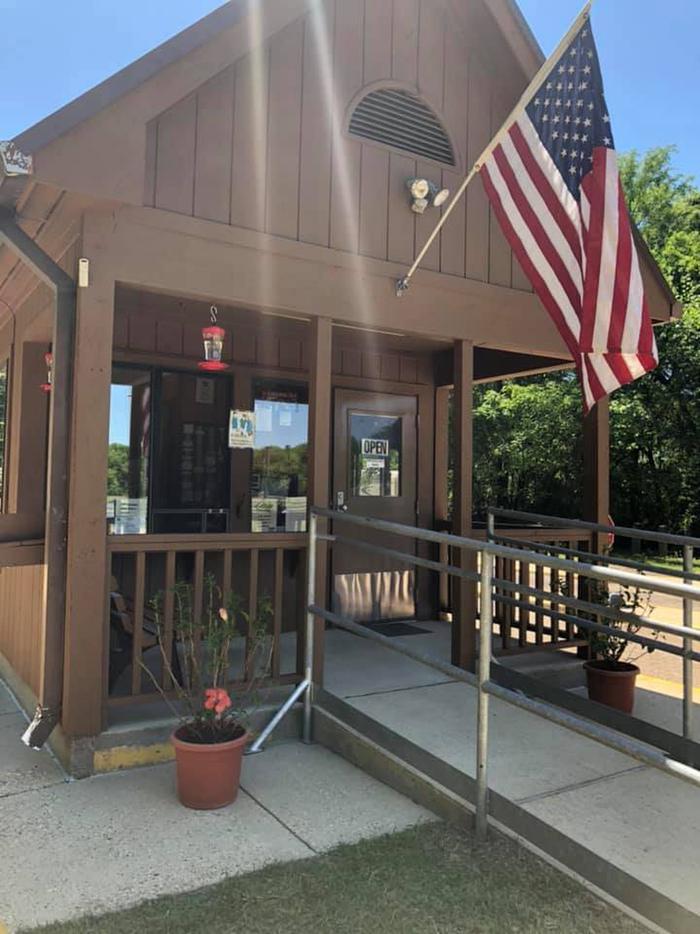
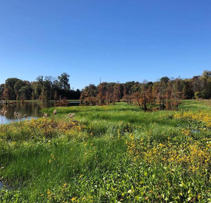
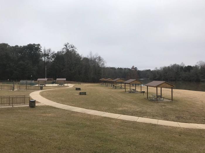
Dewayne Hayes Campground is located on the Tennessee-Tombigbee Waterway, on Columbus Lake in Mississippi.
The campground provides convenient access to the waterway. There is ample opportunity for visitors to fish, boat or spend the day sightseeing along the banks of the river.
The recreation area was named in 1986 for Pfc. Loyd DeWayne Hayes, a member of the 145th Engineering Battalion of the Alabama National Guard.
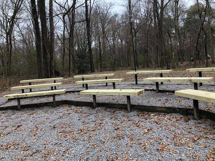
With playgrounds, hiking trails, multi-use courts, picnic areas and educational programs, families have no shortage of activities to choose from at DeWayne Hayes.
Anglers can fish from the shore in search of bass, walleye, crappie, catfish and sunfish.
Additionally, hunters can seek out a diverse range of high quality habitats for upland game and waterfowl species along the Tenn-Tom lands.
Dewayne Hayes Campground features 110 campsites, including 100 standard sites with electric and water hookups and 10 tent-only primitive walk-in sites.
The campground is partially shaded, and sites have picnic tables, fire rings with grills, pedestal grills and lantern posts.
Visitors have the convenience of hot showers and laundry facilities, and anglers can make use of the fish cleaning station.
The Tenn-Tom, as the waterway is known, extends 234 miles from the Tennessee River to the junction of the Tombigbee River in Alabama. The man-made waterway connects the nation’s midsection of commercial water transportation with the Gulf of Mexico.
Columbus, Mississippi is right next door and offers antique stores, historic sights and other services and amenities.
From Columbus, Mississippi, take U.S. Highway 45 north to the junction with U.S. Highway 373/50 west. Turn left and continue for 1.5 miles to the junction with Stinson Creek Road. Travel 2 miles to Barton’s Ferry Road and turn left. Proceed a half mile to the park entrance.
Latitude 33° 36′ 1.0001″ N
Longitude 88° 28′ 17.0000″ W