Overview
Van Pugh North Park lies approximately 15 miles north of Buford Dam on Lake Sidney Lanier. The site features beautiful views of the lake as well as excellent access to swimming, picnicking and boating.
The lake, named for the poet, Sidney Lanier, is well known for its aqua-blue colored water, spectacular scenery and variety of recreational activities. Each year, approximately 11.8 million people come to visit.
Recreation
Visitors can access the Laurel Ridge Hiking Trail from multiple locations and parks. The trail is a 3.5 mile loop that offers great views of the lake and Chattahoochee River. Fisherman can expect to catch a variety of species including bass, catfish and panfish. Activities include fishing, swimming, wake boarding, kayaking and hiking.
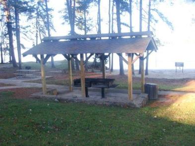
Facilities
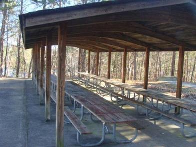
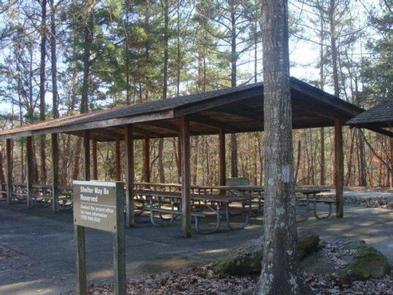
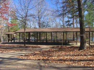
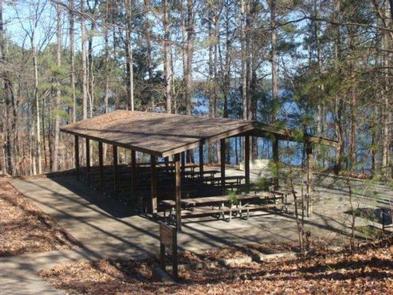
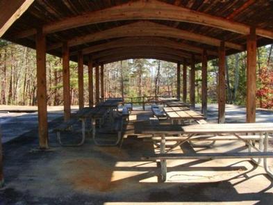
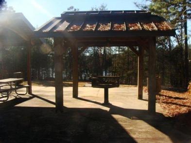
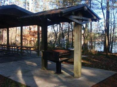
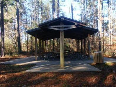
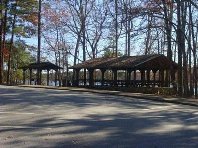
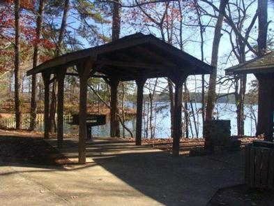
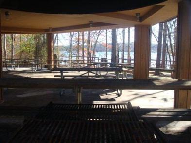
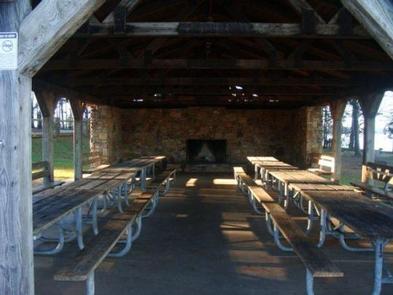
Van Pugh North Park offers access to picnic areas and restrooms.
Natural Features
Lake Lanier boasts 38,000 surface acres, 690 miles of shoreline and over 100 small islands. Its location in the forested foothills of the Georgia Blue Ridge Mountains, makes for a beautiful backdrop to any activity.
Nearby Attractions
Nearby attractions include boat ramps, other USACE parks and Lake Lanier Islands.
Gallery
Directions
Physical address is 6838 Gaines Ferry Rd., Flowery Branch, GA 30542.
From Georgia Highway 400, take exit 14 for Hwy 20 east, follow Hwy 20 east for approximately 10 miles and turn left on Peachtree Industrial Rd., turn left on Gaines Ferry Rd., road forks at end, turn right and road dead ends into park.
From Interstate 985, take exit 8 and turn left on Friendship Rd. (Hwy 347), at third traffic light turn right at Mcever Rd., turn left on Gaines Ferry Rd., turn right at the fork, and the road dead ends into park.
GPS Coordinates
Latitude 34° 11′ 13.9402″ N
Longitude 83° 58′ 51.8999″ W