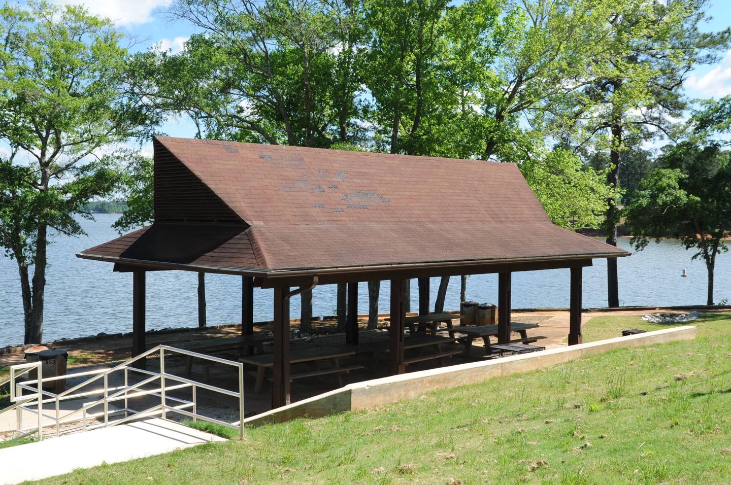
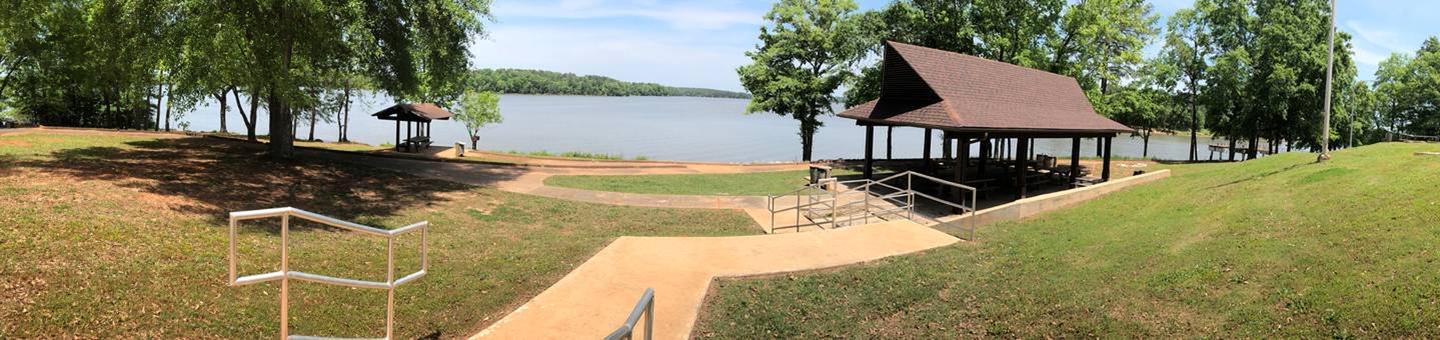
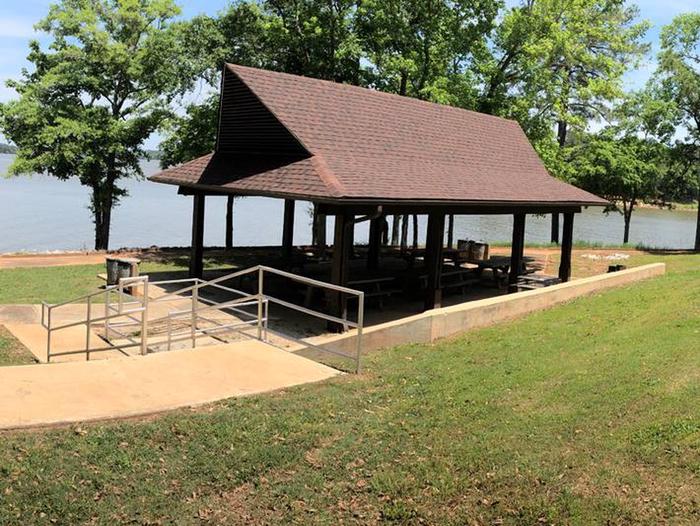
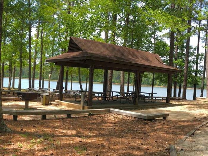
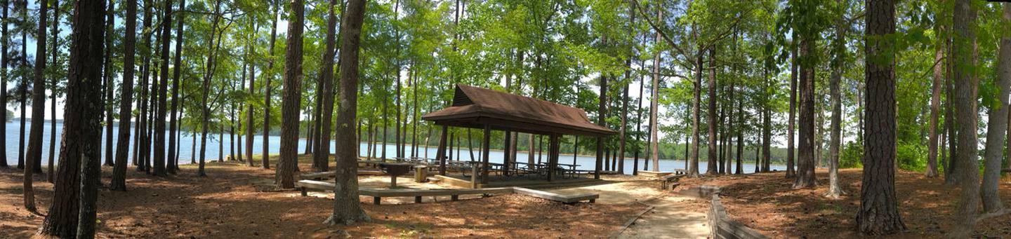
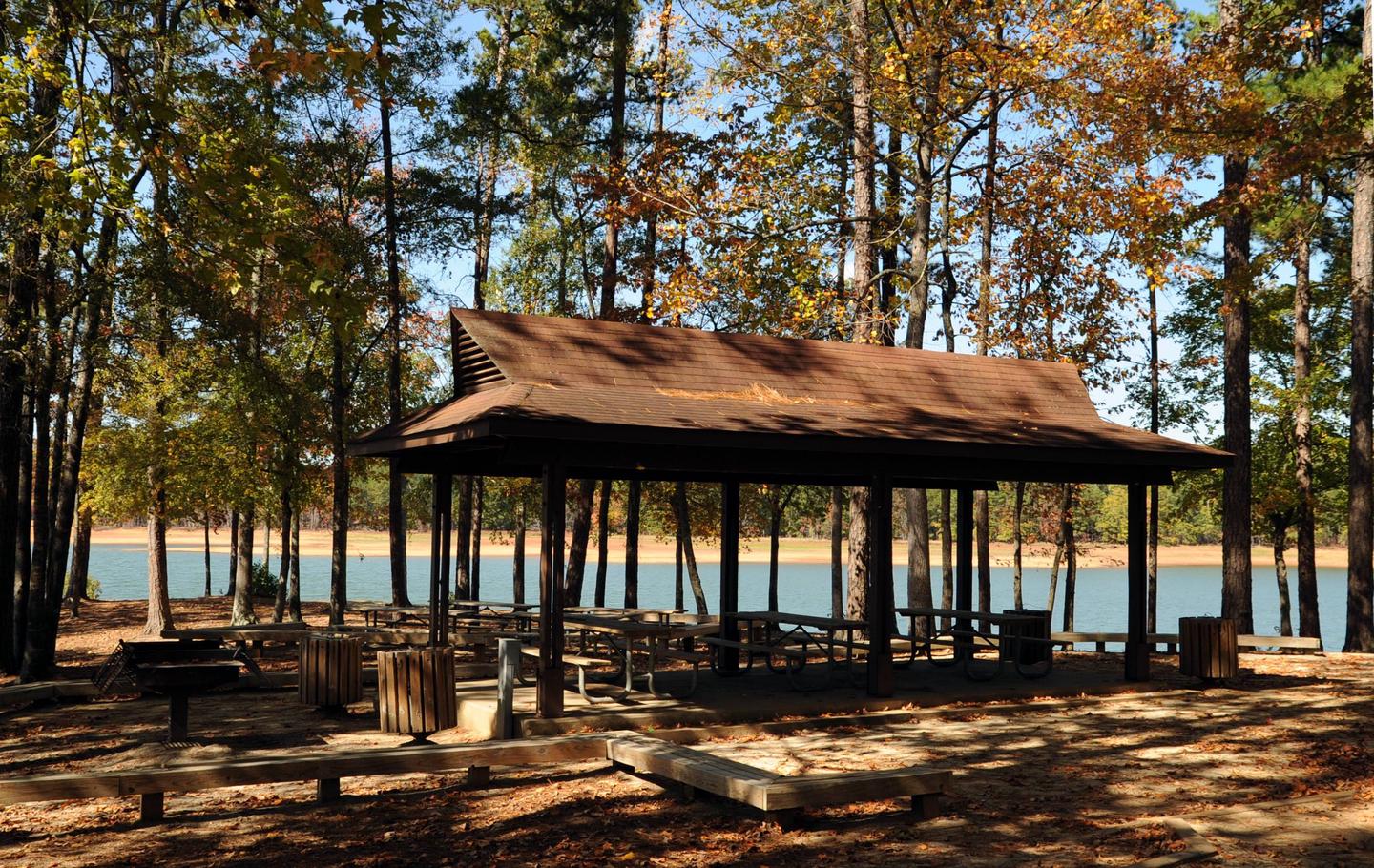
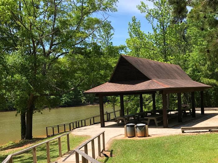
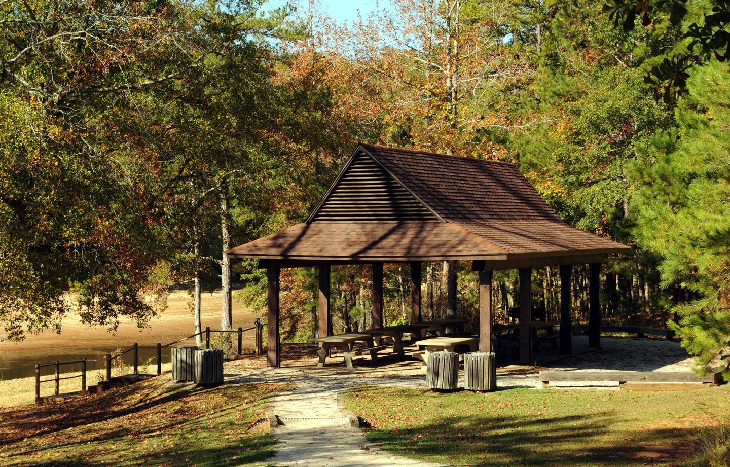
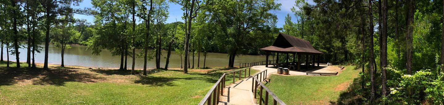
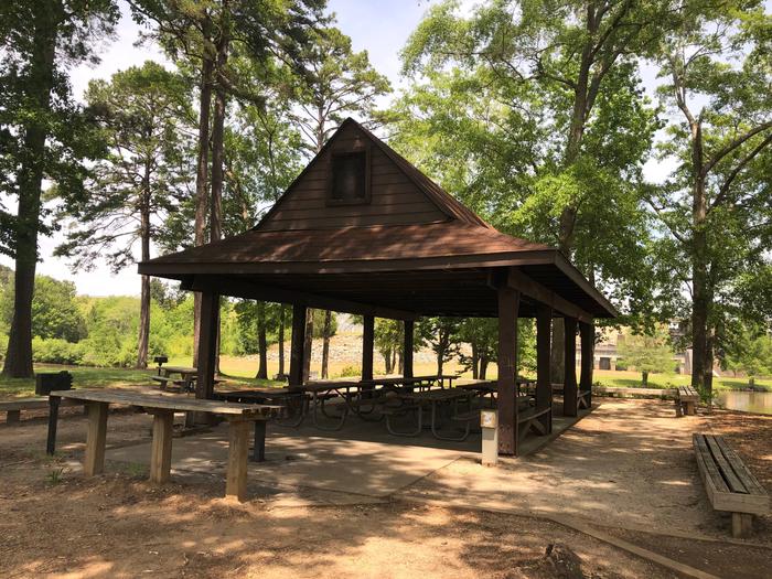
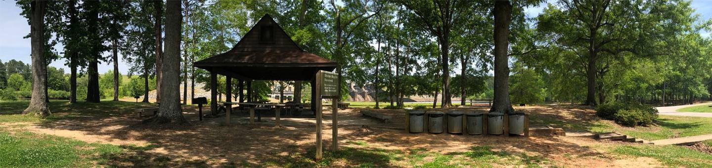
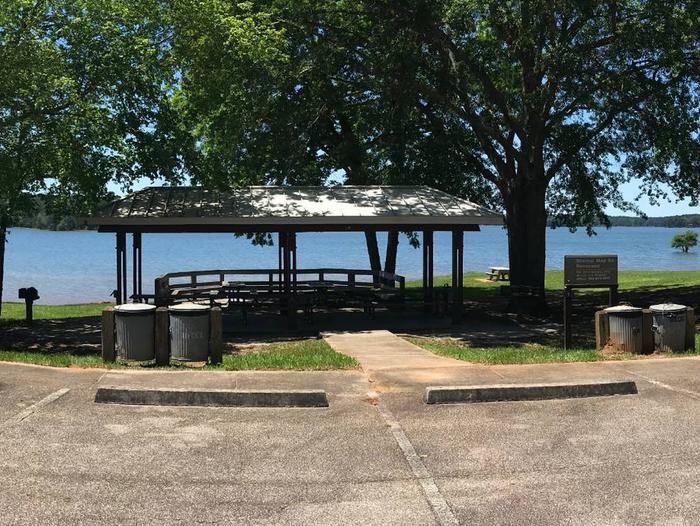
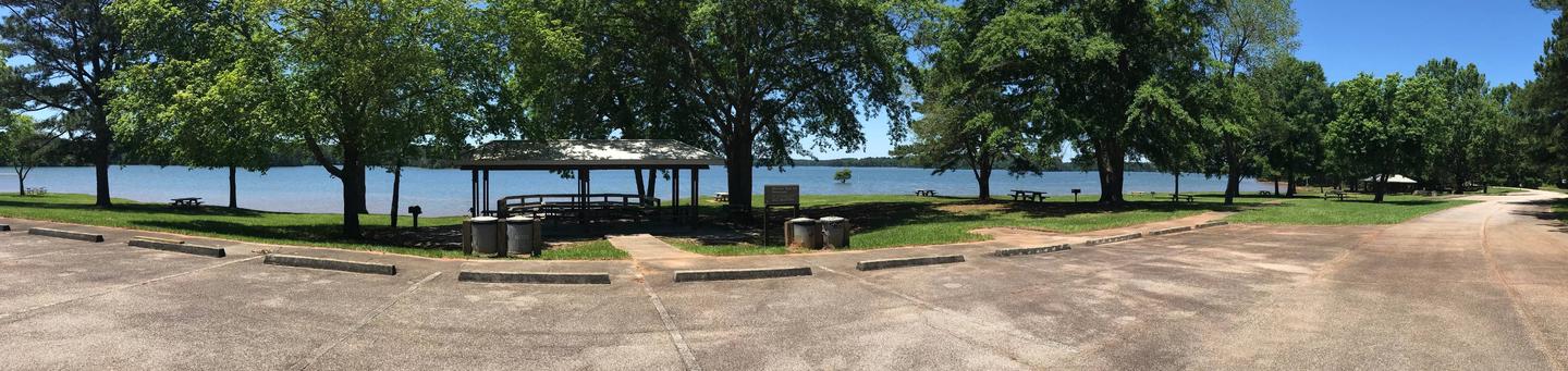
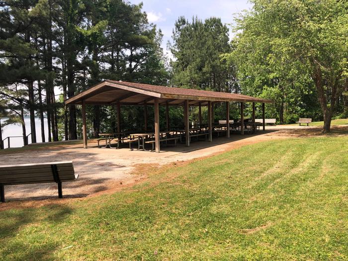
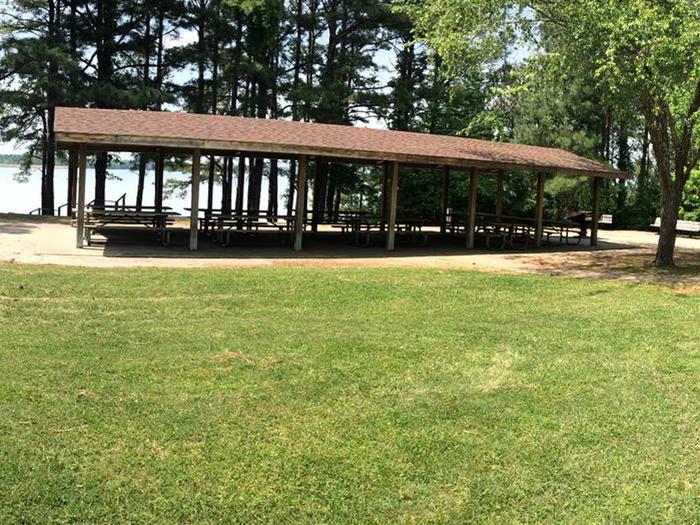
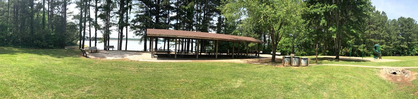
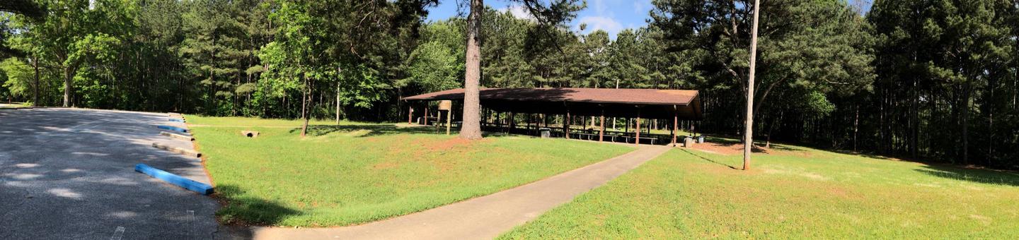
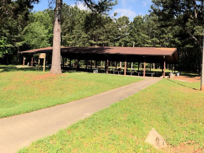
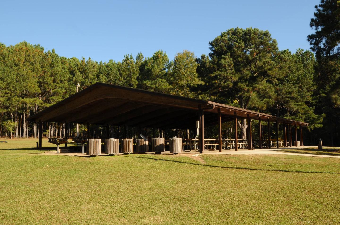
Categories
Uncategorized

Rocky Point Recreation Area

Overview

Rocky Point Recreational Area includes one of three designated swim areas on West Point Lake, operated from May through Labor Day each year. Picnic sites, boat launch facilities, and a fishing pier are open year-round.

Charges & Cancellations

Cancellations must be made 14 days prior to the reservation date in order to receive a refund. No refunds will be issued after the date of the reservation. Reservations will not be refunded due to weather related issues.

Gallery

Directions

Take Alabama County Road 266 approximately six miles north of West Point to the T-intersection. Turn right and follow the road to the entrance of the park. The shelter is near the beach. 

GPS Coordinates

Latitude 0° 0′ 0.0000″ S

Longitude 0° 0′ 0.0000″ W

Categories
Uncategorized

McGee Bridge Park

Overview

McGee Bridge Park, located near LaGrange, GA, is one of only three parks on West Point Lake offering a fishing pier. Along with the fishing pier, picnic sites and a boat launch facility are available.

Charges & Cancellations

Cancellations must be made 14 days prior to the reservation date in order to receive a refund. No refunds will be issued after the date of the reservation. Reservations will not be refunded due to weather related issues.

Gallery

Directions

Take Route 109 approximately 1.5 miles west of West Point Road. Turn right onto Vernon Ferry Road and bear right onto Old Roanoke Road in ½ mile. In one mile, turn right into the park the shelter is on the right near the fishing pier.

GPS Coordinates

Latitude 0° 0′ 0.0000″ S

Longitude 0° 0′ 0.0000″ W

Categories
Uncategorized

Long Cane Recreation Area

Overview

Long Cane Park, located conveniently between West Point and LaGrange, GA, offers many wonderful recreational opportunities. Hiking trails, boat launching, picnic sites, and group picnic shelters are all available at Long Cane Park.

Charges & Cancellations

Cancellations must be made 14 days prior to the reservation date in order to receive a refund. No refunds will be issued after the date of the reservation. Reservations will not be refunded due to weather related issues.

Gallery

Directions

Take Georgia Highway 29 approximately six miles north of West Point. Watch for the signs to enter Long Cane on the left. Turn right after entering park; follow the road to enter into the shelter parking area on the right. 

GPS Coordinates

Latitude 0° 0′ 0.0000″ S

Longitude 0° 0′ 0.0000″ W

Categories
Uncategorized

Horace King Park

Overview

Horace King Park, conveniently located along the Chattahoochee River, offers great access to the reservoir or to the upper rivers and creeks. Horace King offers a boat launch, picnic sites, and a reservable shelter area for groups.

Charges & Cancellations

Cancellations must be made 14 days prior to the reservation date in order to receive a refund. No refunds will be issued after the date of the reservation. Reservations will not be refunded due to weather related issues.

Gallery

Directions

Take Georgia Highway 109 approximately seven miles west of LaGrange. After crossing Wade Milam Bridge over West Point Lake, watch for the signs to enter the park on the left. After turning off 109, bear right and follow the road to the shelter. 

GPS Coordinates

Latitude 0° 0′ 0.0000″ S

Longitude 0° 0′ 0.0000″ W

Categories
Uncategorized

Hardley Creek Park

Overview

Hardley Creek Park is the only Corps of Engineers park operated south of the West Point Dam and Powerhouse. Offering unique wildlife viewing opportunities along with ample picnic and fishing areas, Hardley Creek is very popular among local visitors. Paved walking trails and kayak/canoe launch facilities are also available.

Charges & Cancellations

Cancellations must be made 14 days prior to the reservation date in order to receive a refund. No refunds will be issued after the date of the reservation. Reservations will not be refunded due to weather related issues.

Gallery

Directions

Take Stateline Road (Alabama County Road 266) approximately three miles north of West Point. Turn right at the sign for Hardley Creek Park. The shelter is on the left after entering the park. 

GPS Coordinates

Latitude 0° 0′ 0.0000″ S

Longitude 0° 0′ 0.0000″ W

Categories
Uncategorized

Earl Cook Recreation Area

Overview

Earl Cook Recreation Area offers a wide variety of recreational activities. Boat launching facilities are available all year. Seasonally, the swim beach, two picnic pavilions, ball fields, and a playground are open to the public. With a wide variety of activities and easy access from Interstate 85, Earl Cook is becoming a very popular day-use destination.

Charges & Cancellations

Cancellations must be made 14 days prior to the reservation date in order to receive a refund. No refunds will be issued after the date of the reservation. Reservations will not be refunded due to weather related issues.

Gallery

Directions

From West Point take Highway 29 north approximately six miles to the sign on the left for Earl Cook Park. Turn left on Lower Glass Bridge Road which dead ends at Earl Cook Park. Take the first left, then the first right to the shelter.

GPS Coordinates

Latitude 0° 0′ 0.0000″ S

Longitude 0° 0′ 0.0000″ W

Categories
Uncategorized

Eagleview Park

Overview

Eagleview Park offers wonderful views of the West Point Dam and Lake at the southernmost portion of the reservoir. Fishing and picnicking are two of the most popular activities at this park. A pavilion is available for reservations for larger groups. Eagleview Park offers easy trail access to mountain bikers and hikers

Facilities

Eagleview Group Shelter offers water, electricity, restrooms, and a playground

Nearby Attractions

Charges & Cancellations

Cancellations must be made 14 days prior to the reservation date in order to receive a refund. No refunds will be issued after the date of the reservation. Reservations will not be refunded due to weather related issues.

Gallery

Directions

Eagleview Group Shelter is located four miles north of West Point Georgia on US Highway 29 North. Turn left at the West Point Lake sign and travel approximately 1 1/4 miles. Turn right at the sign for Eagleview and bear left to enter the parking area. 

GPS Coordinates

Latitude 0° 0′ 0.0000″ S

Longitude 0° 0′ 0.0000″ W

Categories
Uncategorized

Uchee Creek

This recreation area is part of Walter F. George Lake

Directions

GPS Coordinates

Latitude 0° 0′ 0.0000″ S

Longitude 0° 0′ 0.0000″ W

Categories
Uncategorized

Georgia Damsite

This recreation area is part of Walter F. George Lake

Directions

GPS Coordinates

Latitude 0° 0′ 0.0000″ S

Longitude 0° 0′ 0.0000″ W

Categories
Uncategorized

Florence Marina

This recreation area is part of Walter F. George Lake

Directions

GPS Coordinates

Latitude 32° 5′ 30.6240″ N

Longitude 85° 2′ 34.8972″ W