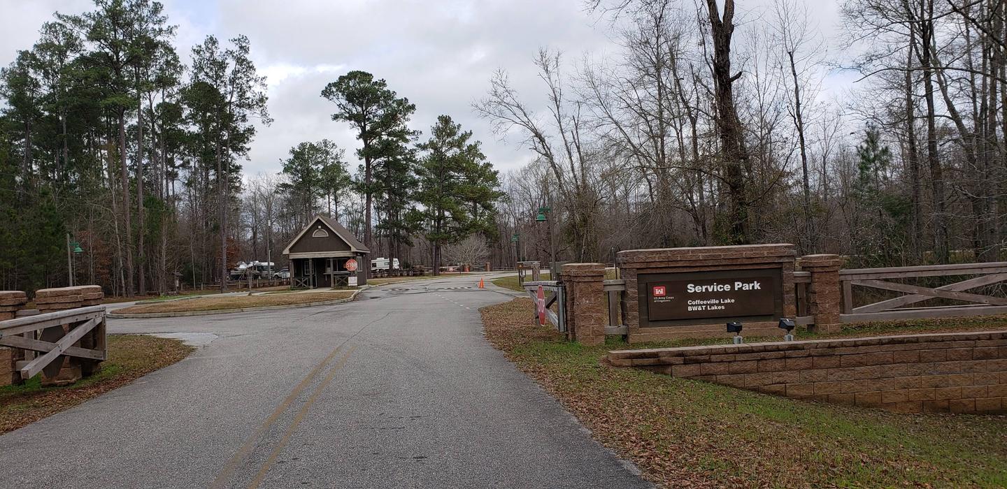
Overview
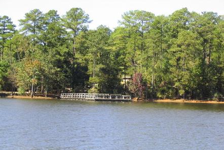
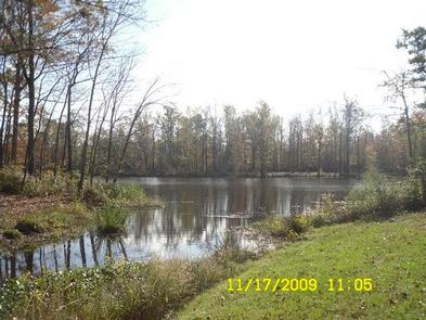
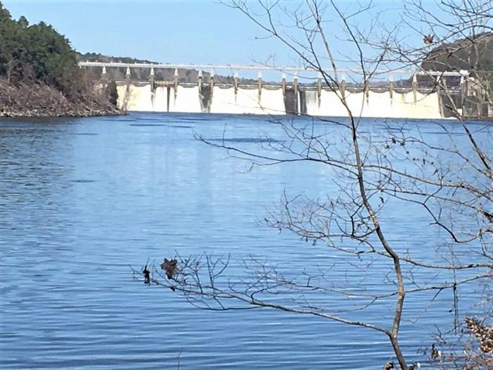
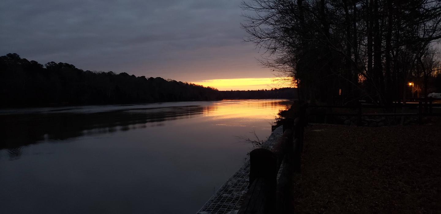
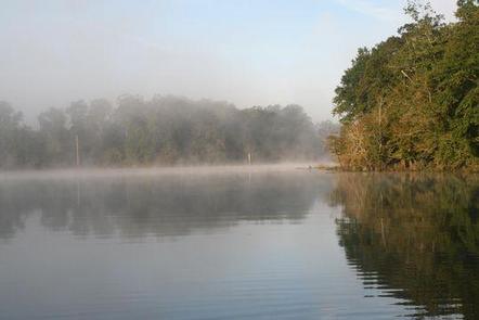
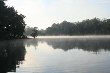
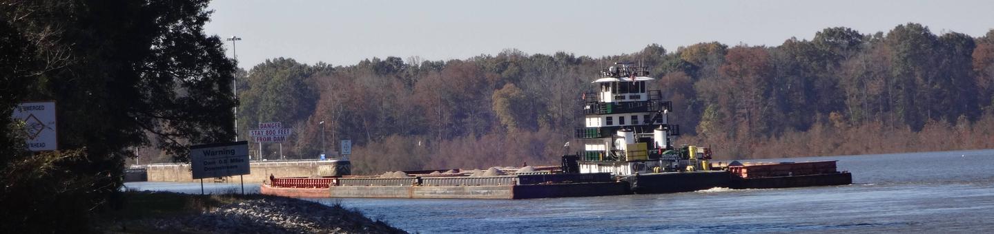
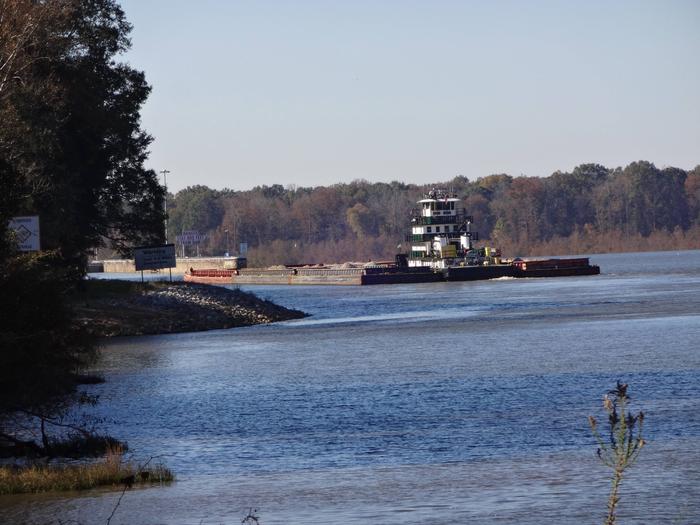
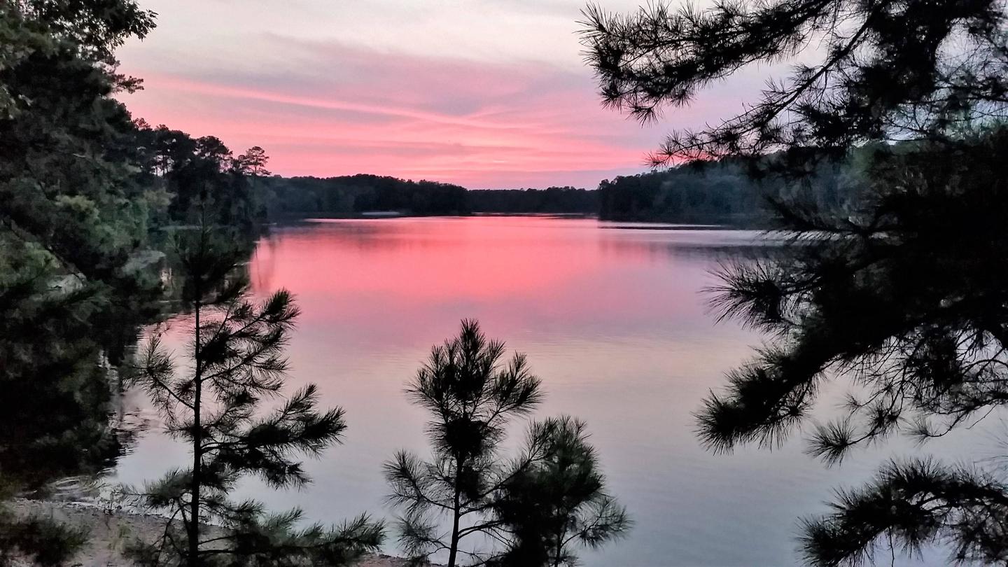
Big Hart Campground is located at the confluence of Big Creek and Hart Creek on the western end of beautiful J. Strom Thurmond Lake, the largest Corps of Engineers lake project east of the Mississippi River.
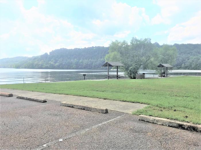
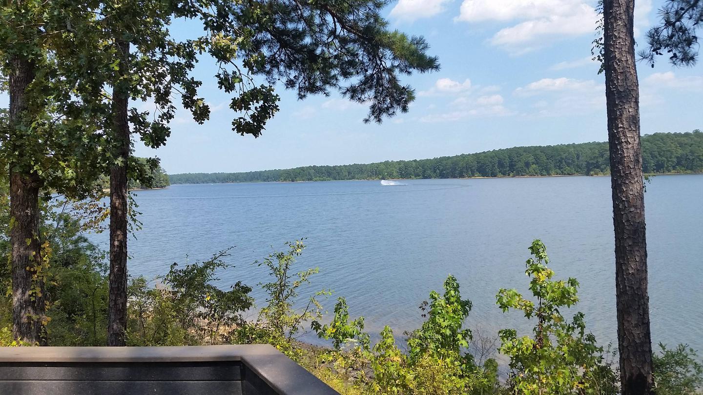
The 70,000 acre lake and its 1,000+ miles of shoreline provide excellent boating, water skiing, swimming, fishing, hiking and picnicking.
Recreation
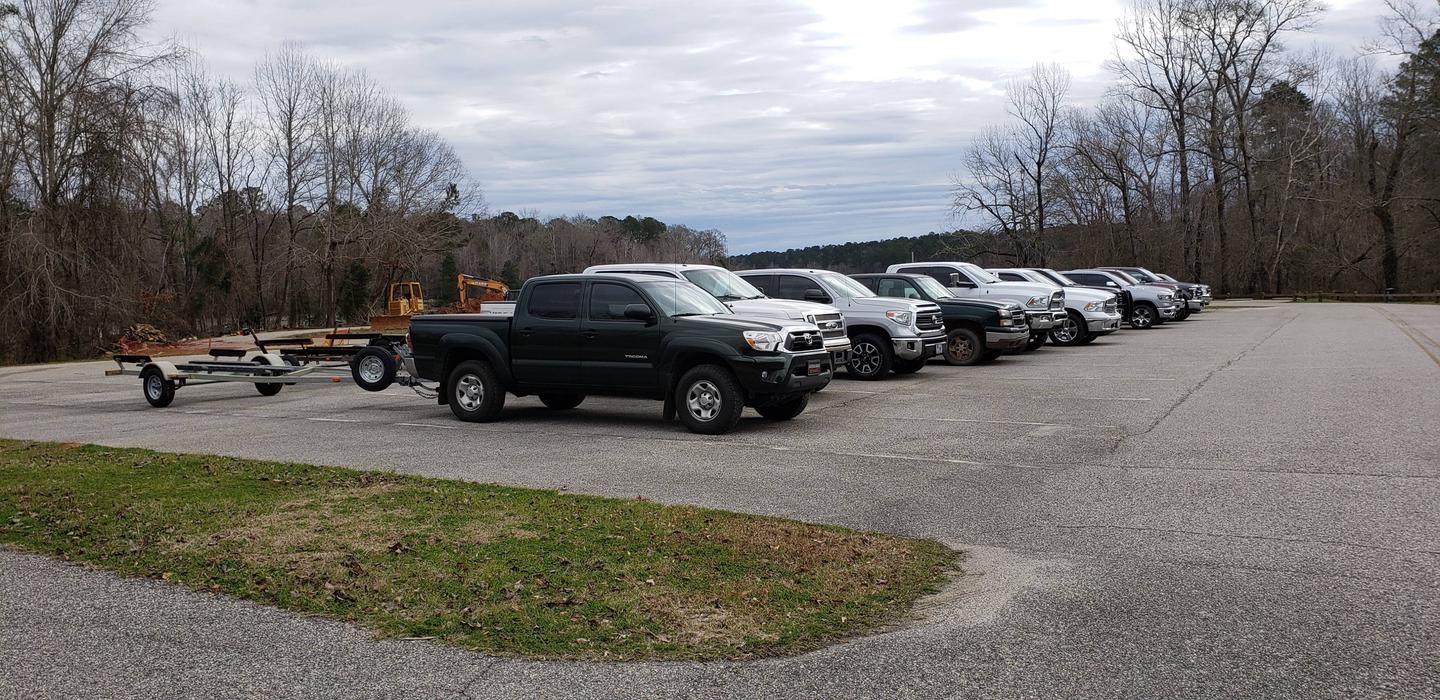
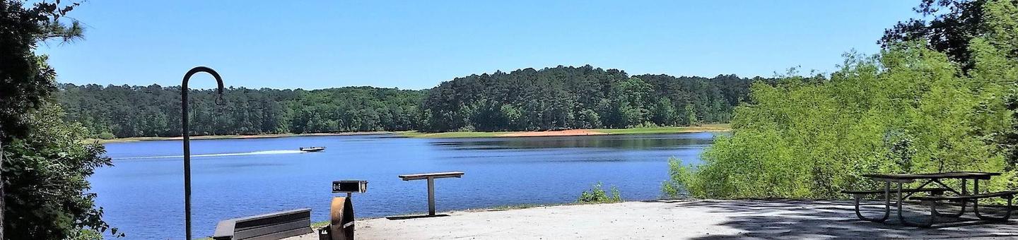
Thurmond Lake provides some of the best fishing, hunting, and water sports in the southeastern United States. Anglers fish for largemouth bass, bream, crappie, catfish and striped bass. The large lake offers endless boating, water skiing, jet skiing, canoeing and swimming opportunities.
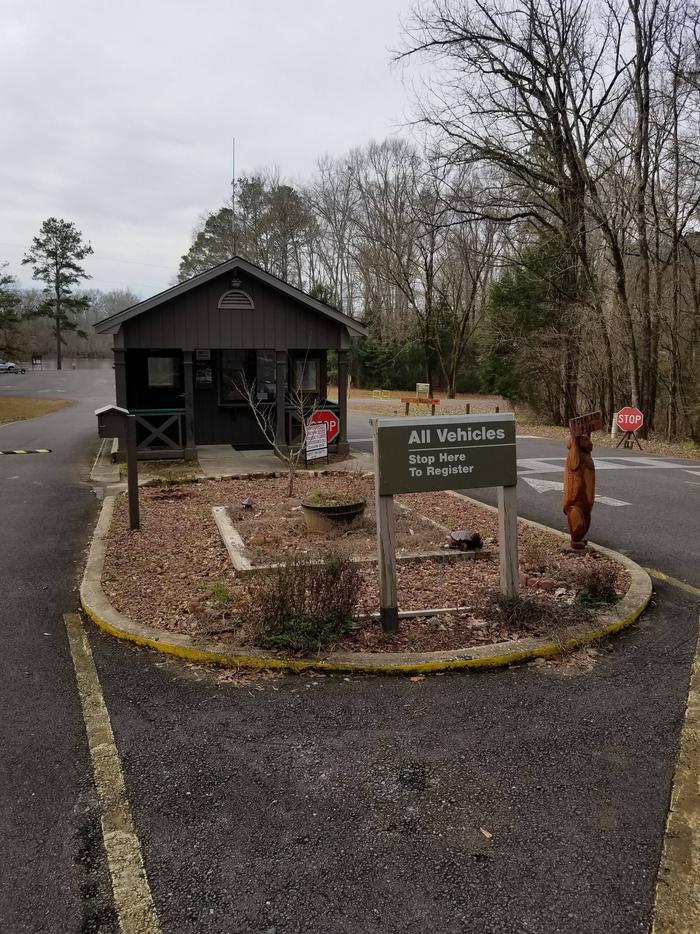
Facilities
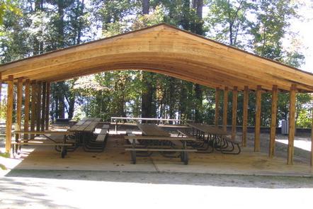
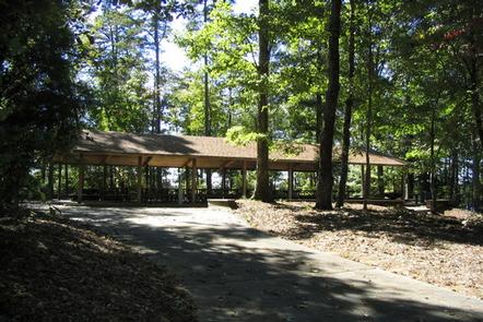
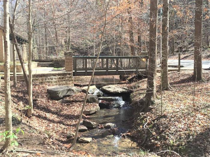
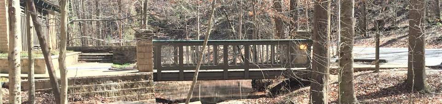
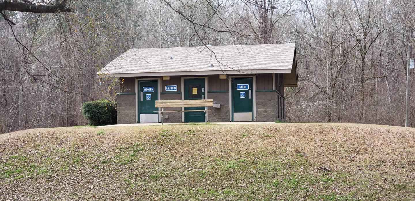
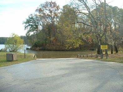
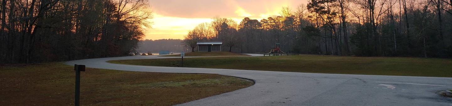
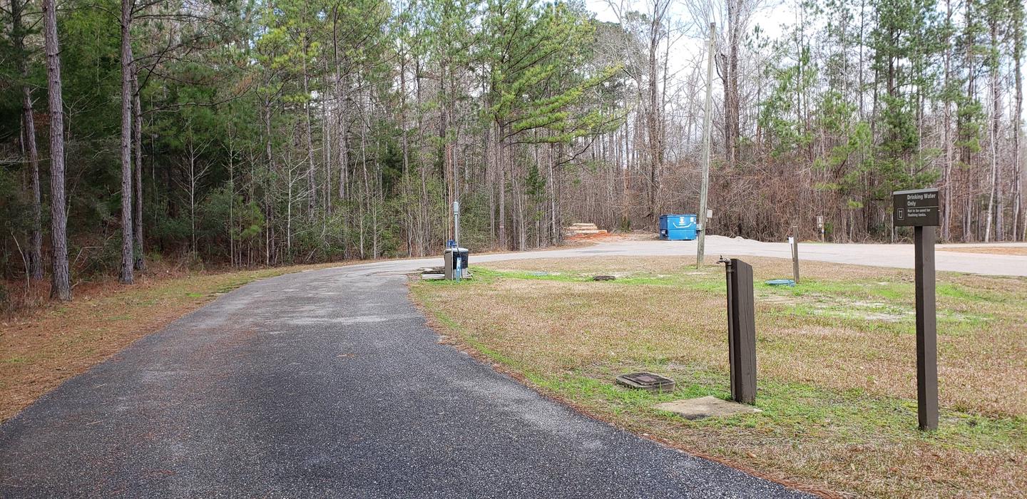
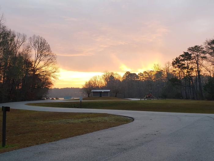
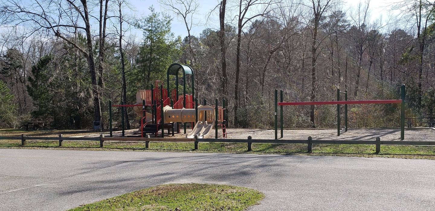
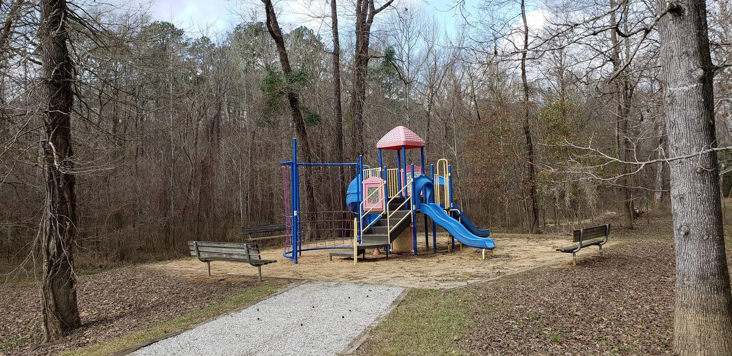
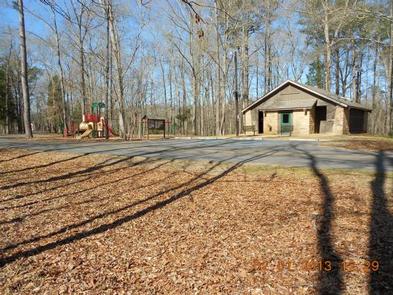
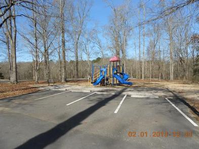
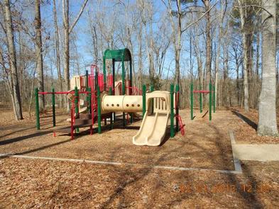
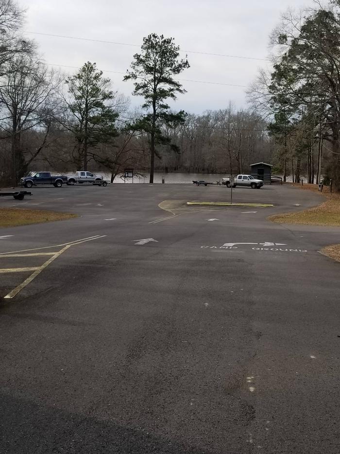
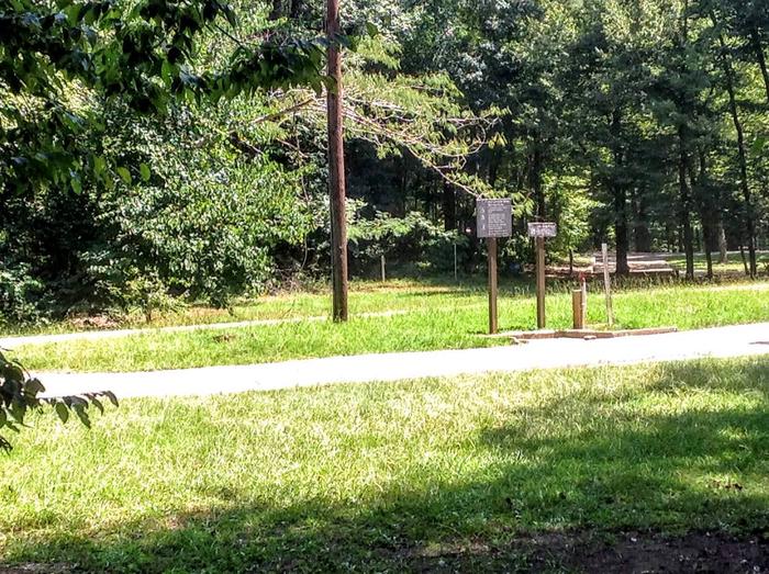
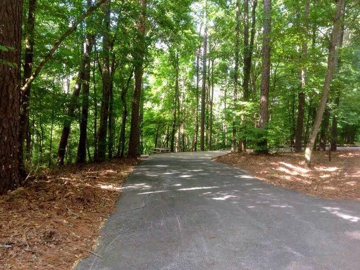
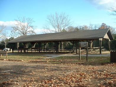
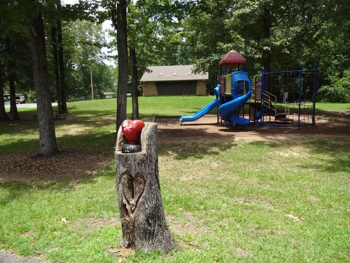
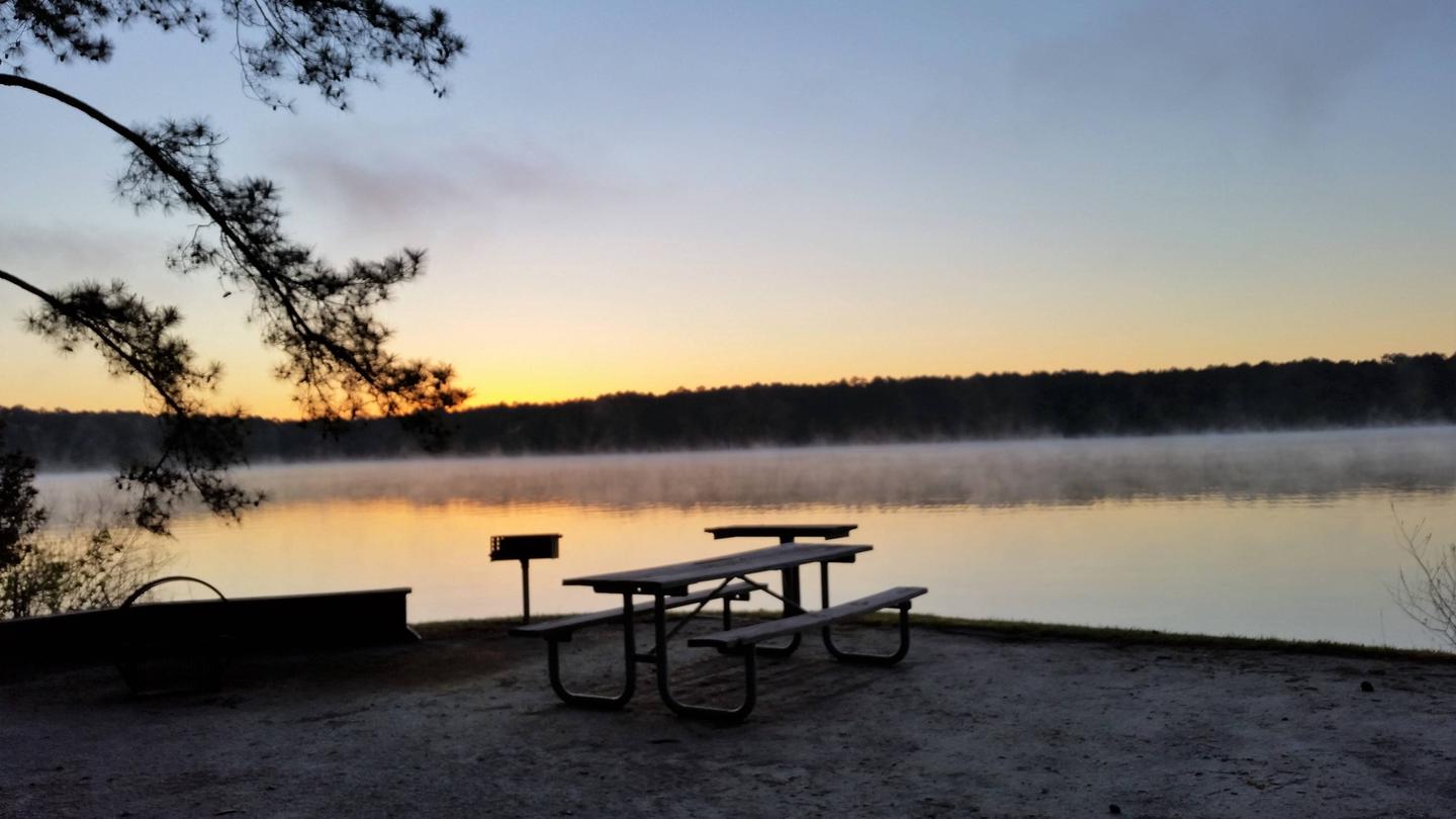
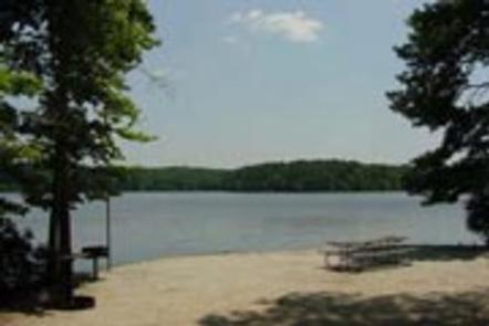
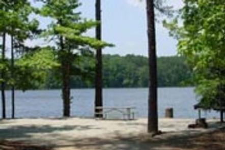
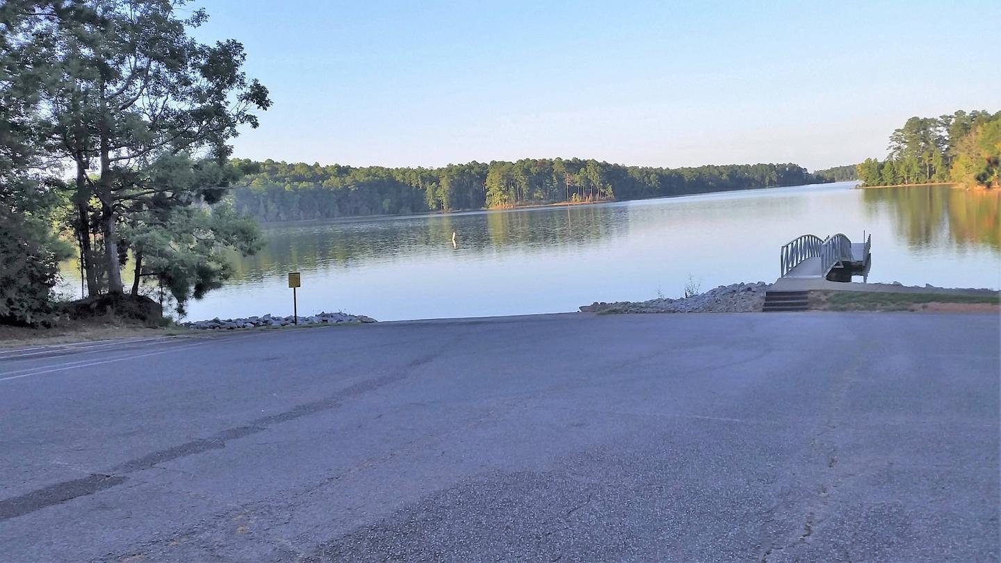
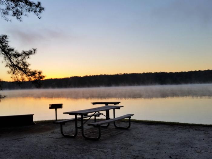
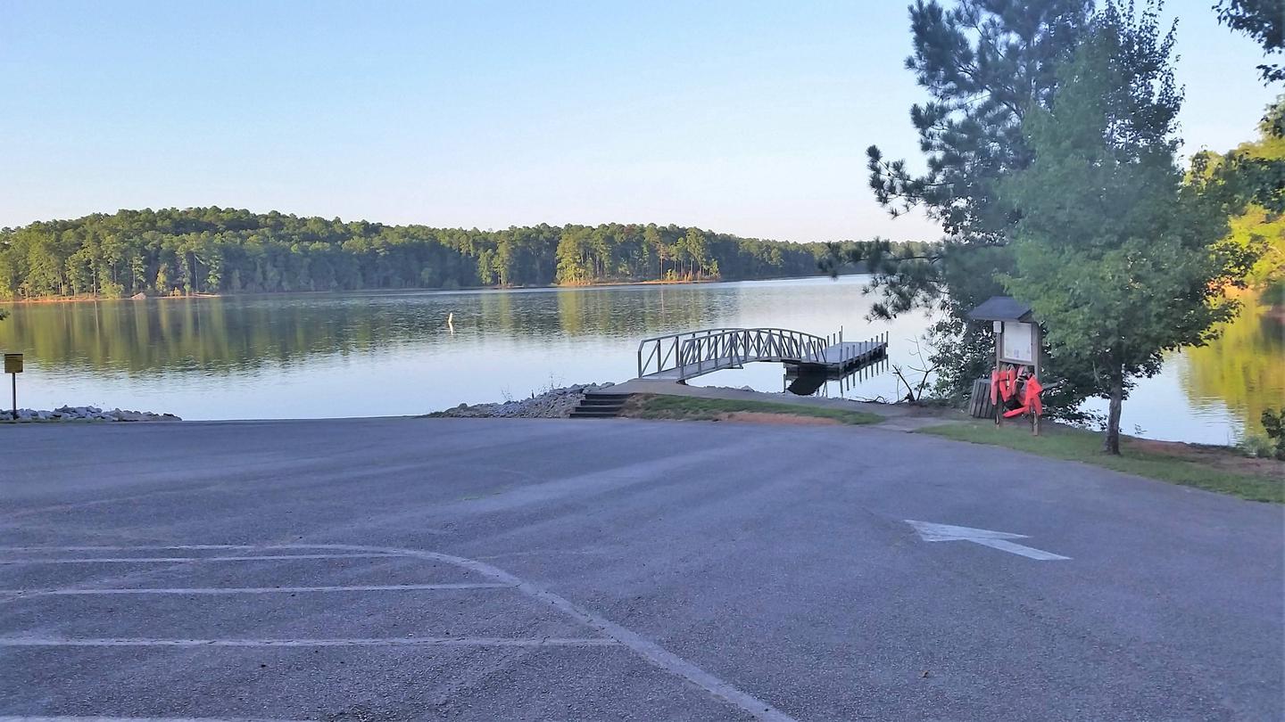
Big Hart Campground is situated in a wooded area on the waterfront. One group campsite and 31 family campsites are available, all with 50-amp electrical hookups. Amenities include flush and vault toilets, showers, drinking water, a dump station, playground, beach, boat ramp and dock.
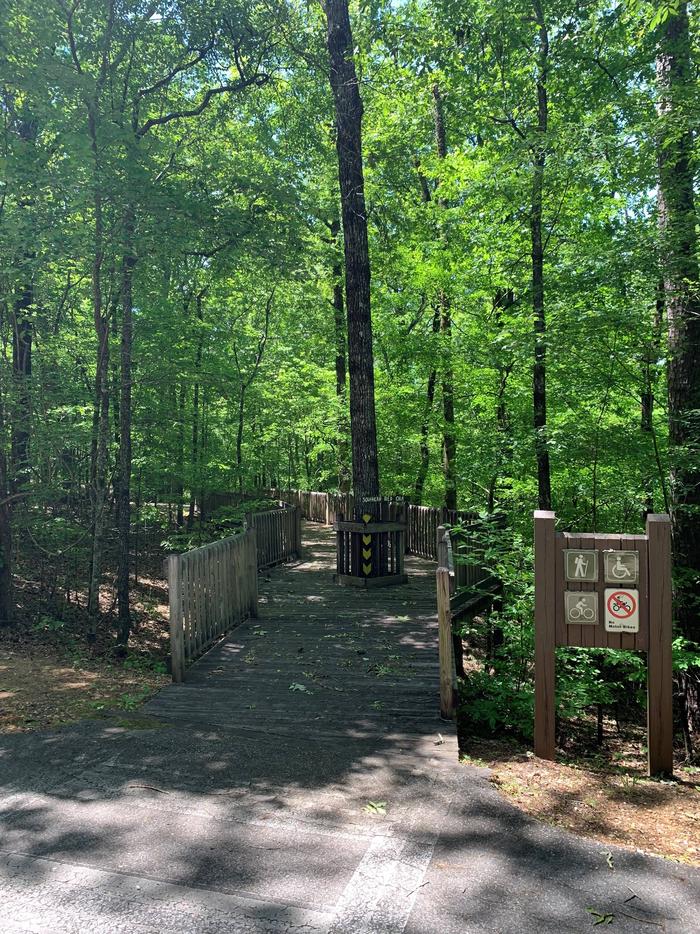
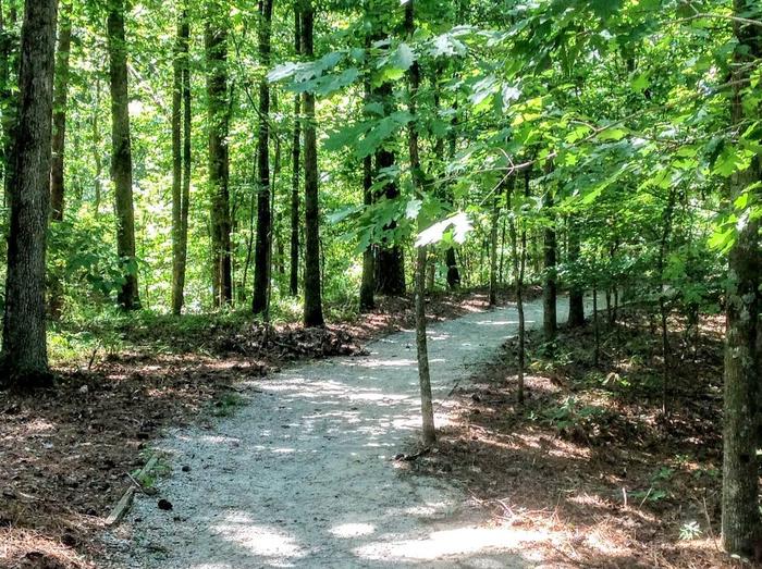
Natural Features
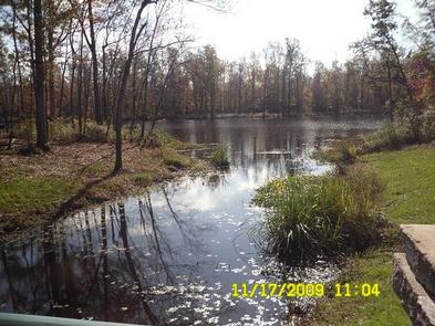
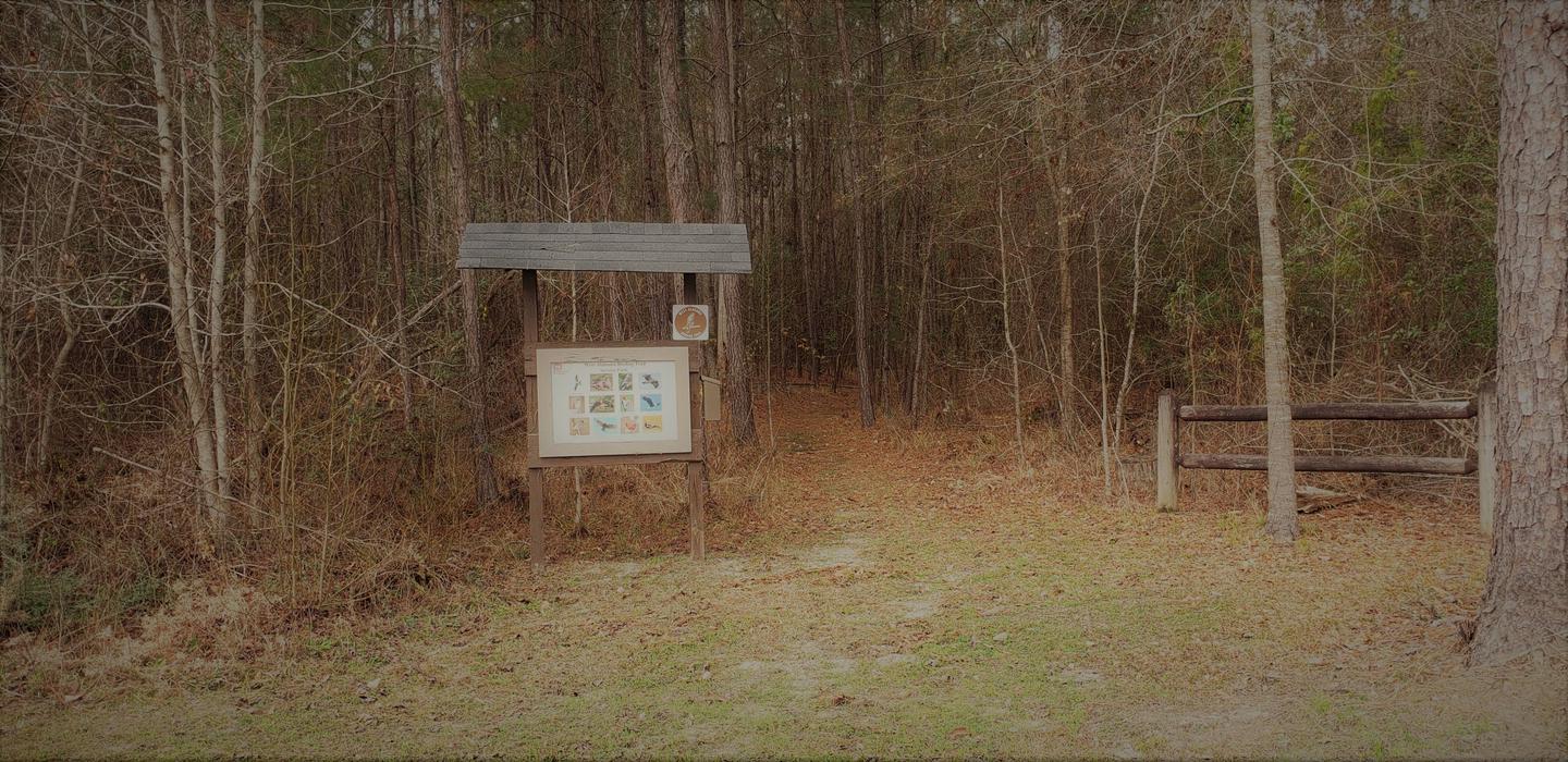
Hot, humid summers and mild, pleasant winters characterize this heavily wooded area on the shore of Thurmond Lake. A mixed pine and hardwood forest covers the site, providing summer shade and fall color. Elevation is 235′ above sea level.
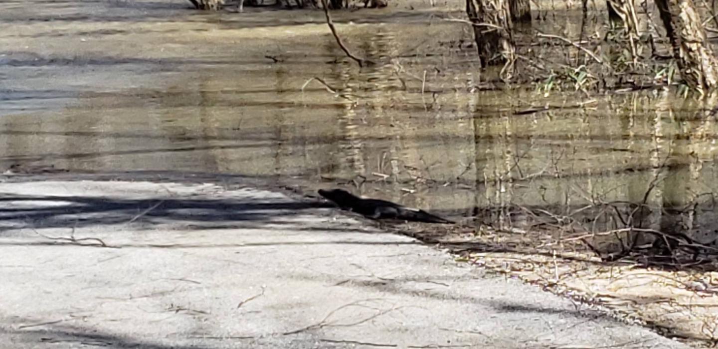
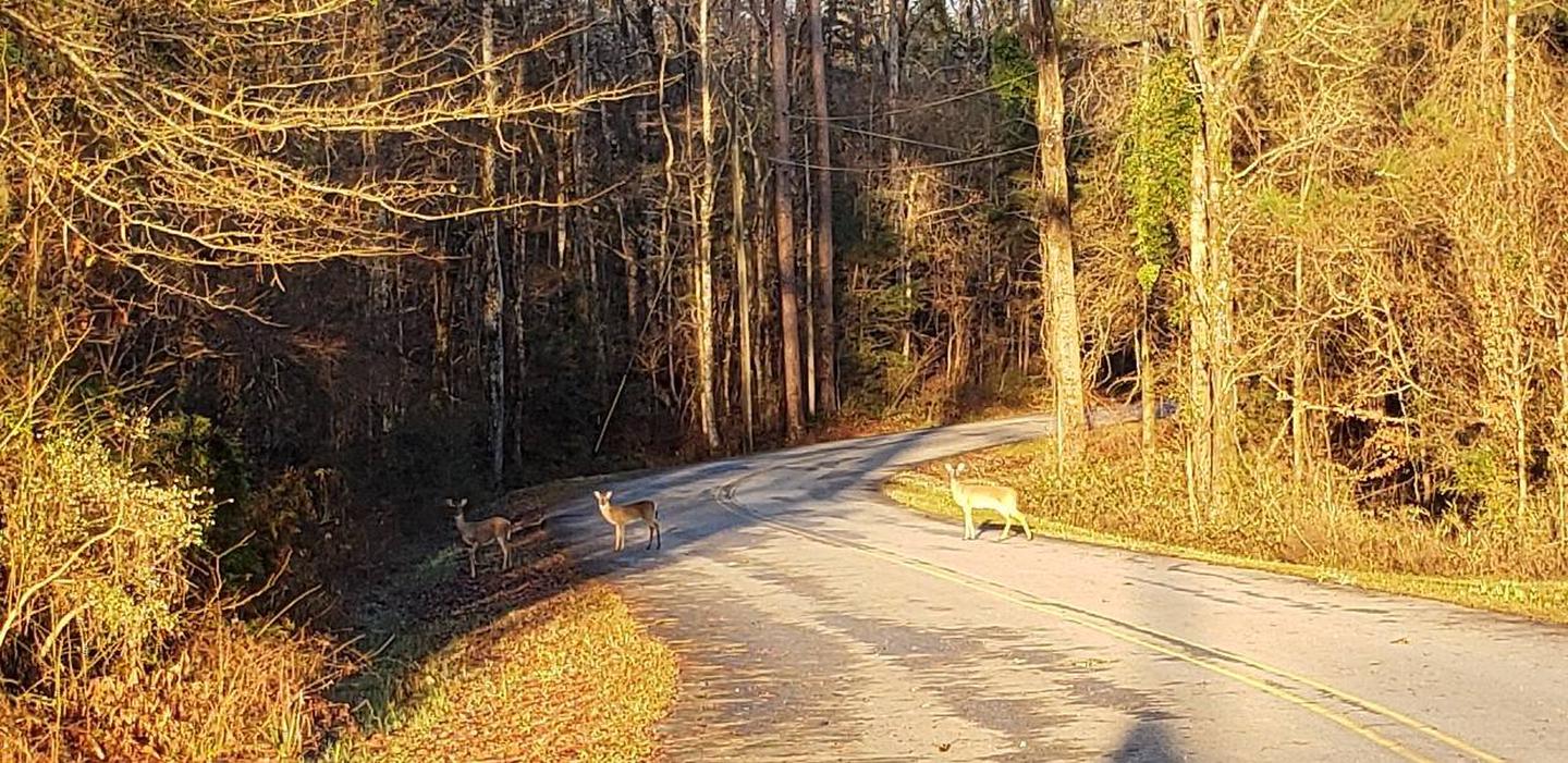
Wildlife is abundant around the lake. Visitors regularly see southern bald eagles, migratory waterfowl, wild turkeys and whitetail deer.
Nearby Attractions
Numerous parks and recreation areas lie around Thurmond Lake, providing additional boating, swimming, hunting, and hiking opportunities. Nearby cities house museums, art galleries, zoos, restaurants, and shopping areas.
The Augusta National Golf Club hosts the Masters Golf Tournament annually the first week of April.
Nearby Activities
- Camping
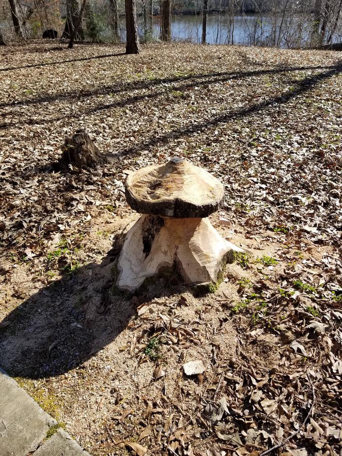
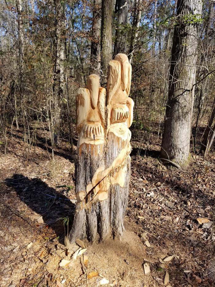
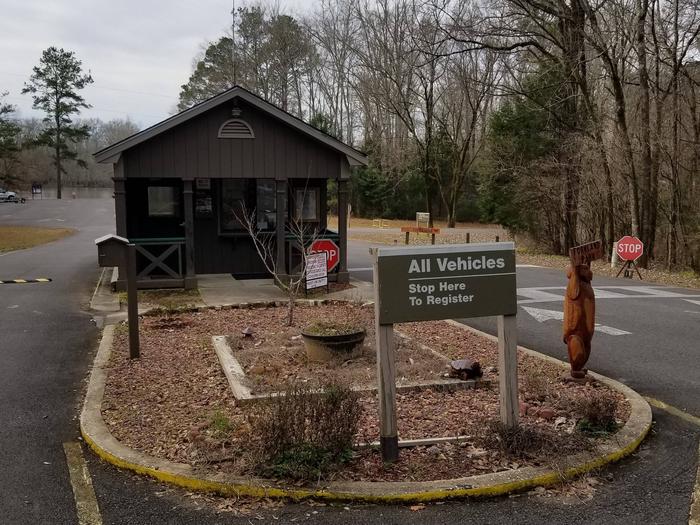
Gallery


Directions
From I-20, take Exit 172 (Thomson/HWY 78) and continue north 8 miles on HWY 78 to Russell Landing Road. Turn right and travel east 4 miles to campground.
GPS Coordinates
Latitude 33° 36′ 52.4902″ N
Longitude 82° 30′ 31.4899″ W