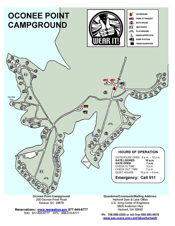
Overview
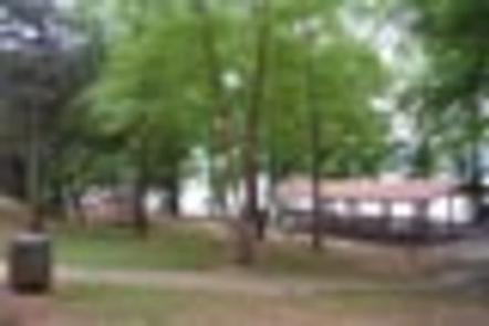
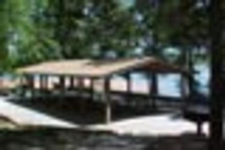
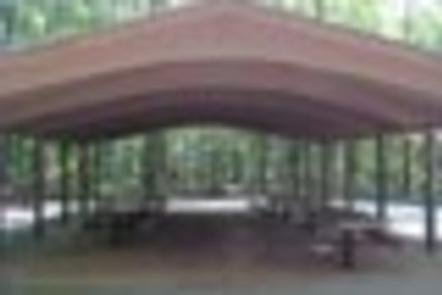
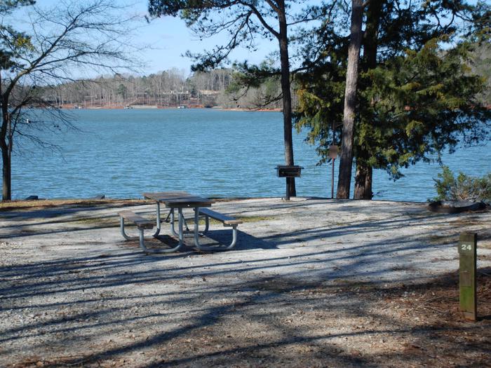
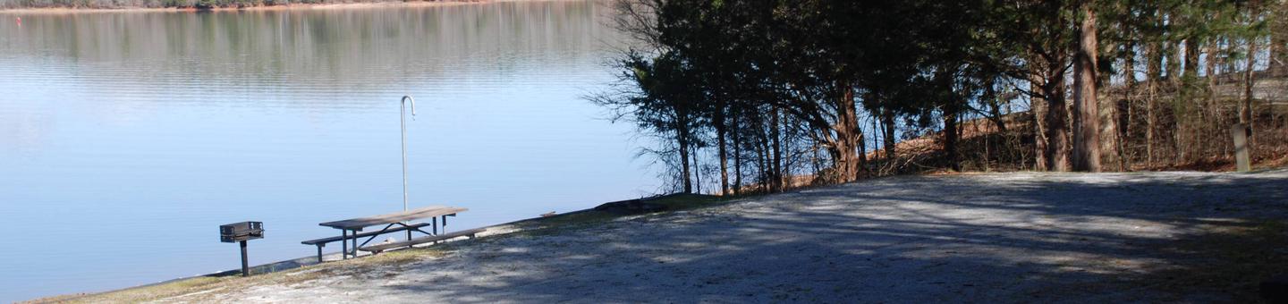
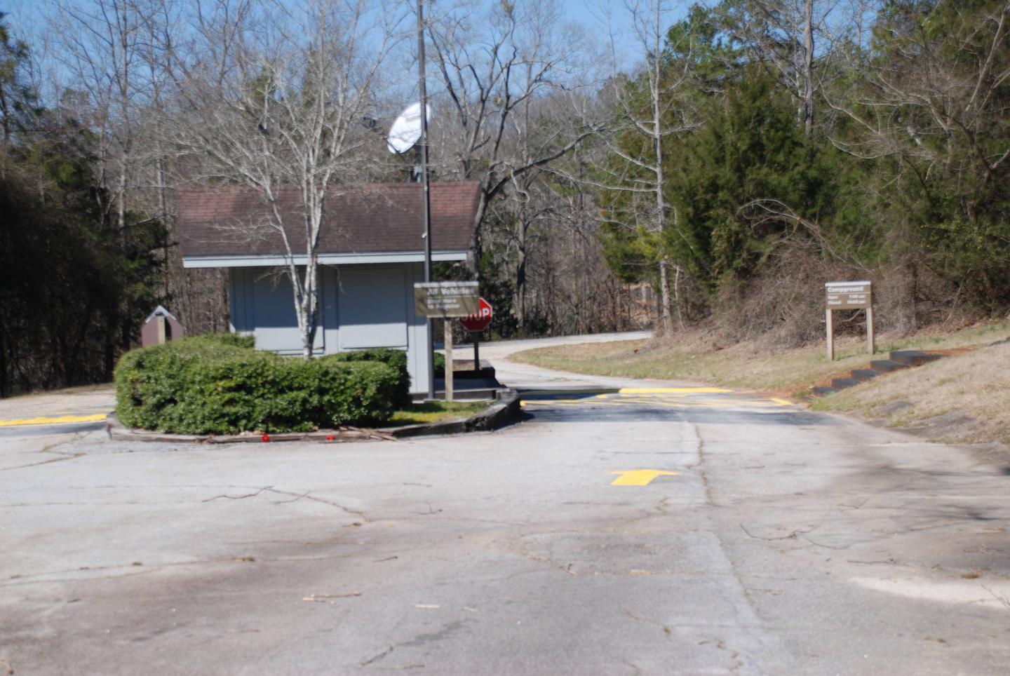
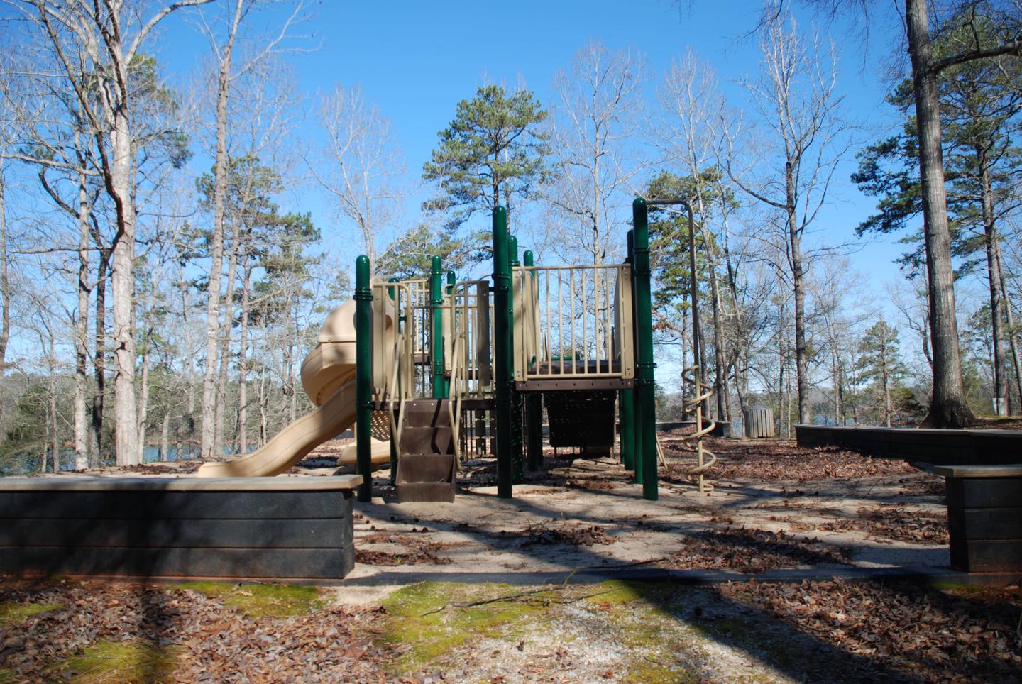
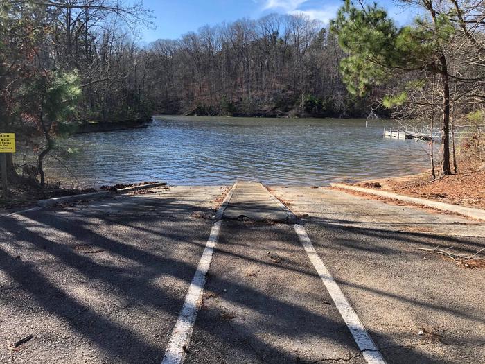
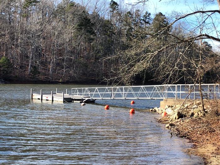
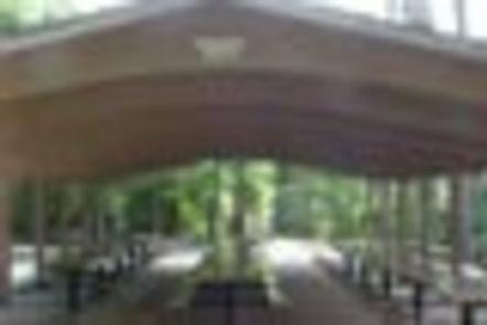
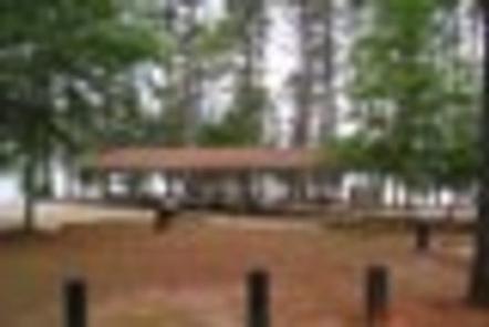
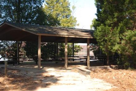
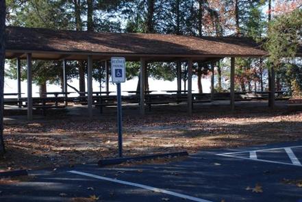
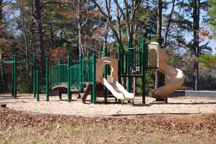
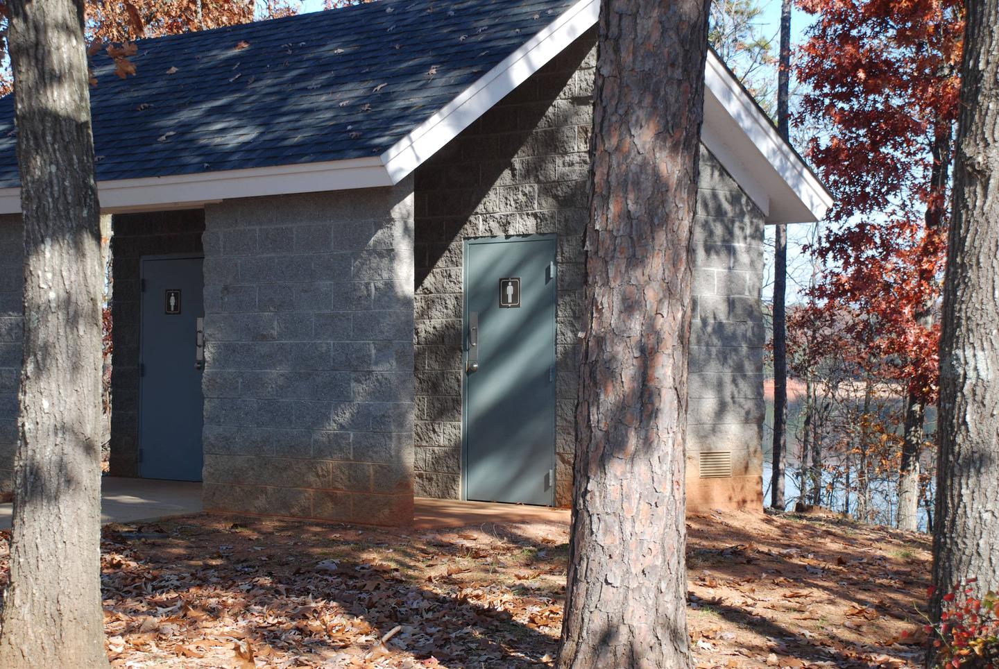
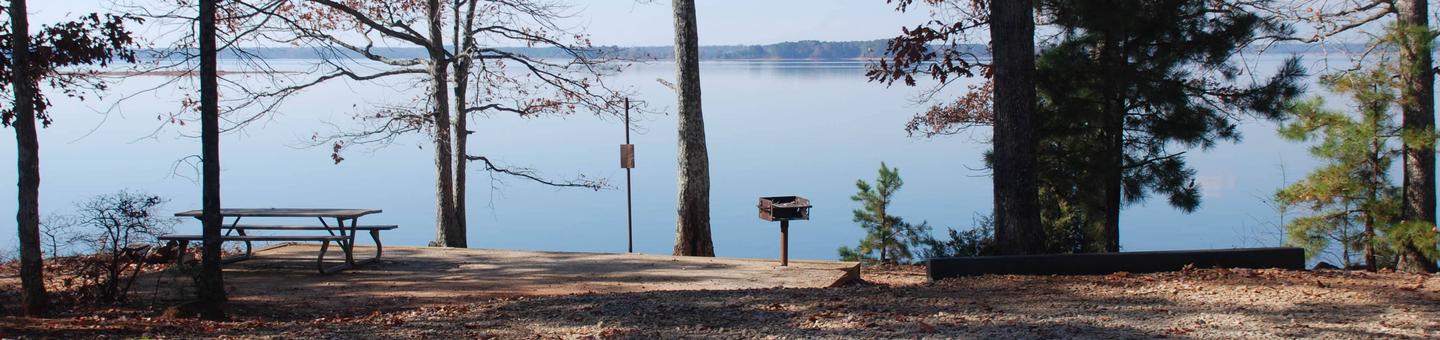
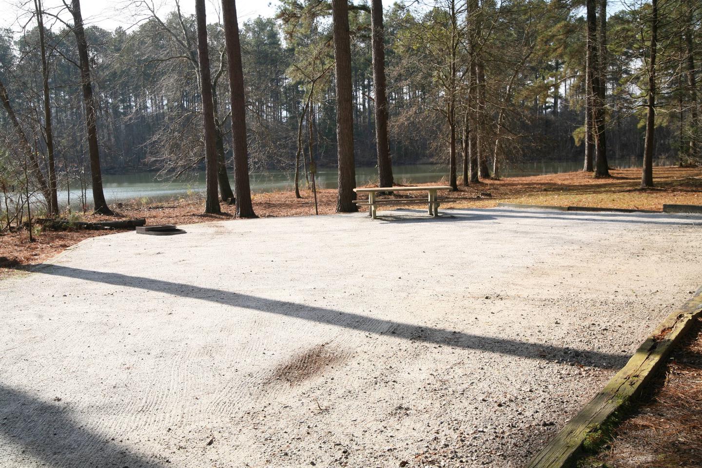
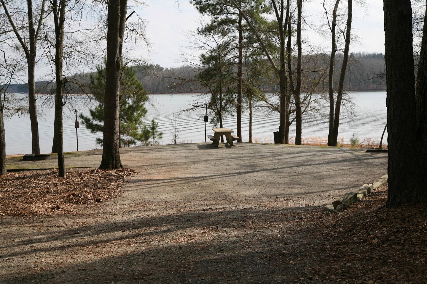
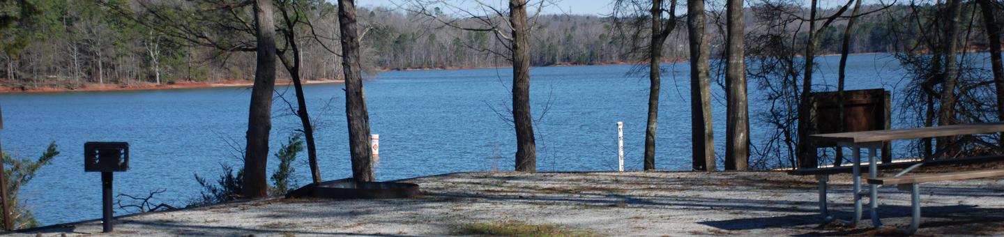
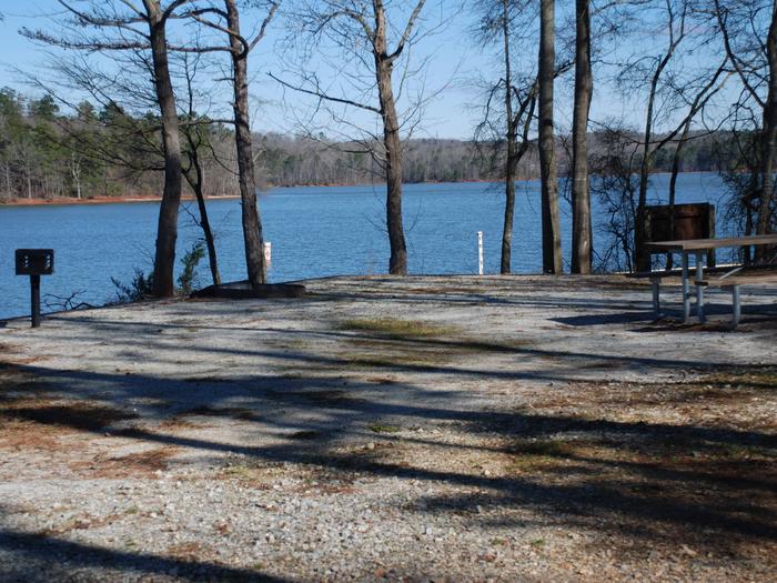
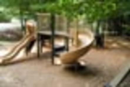
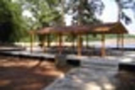
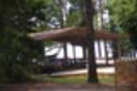
Singing Pines Recreation Area consists of 42 acres. The site presently offers day-use and boat-launching facilities consisting of 1 gatehouse/entrance, 57 picnic sites, 2 standard picnic shelters with water and electric service, 5 mini-shelters, 1 boat ramp, 1 courtesy dock, 2 comfort stations, 2 playground areas, 2 designated swim areas/beaches, 1 fishing pier, and associated paved roads and parking areas throughout. The area experiences high levels of intense public use during peak recreation season.
Recreation
Fishing is one of the most popular activities at the lake. Sought-after species include largemouth bass, bream, crappie, catfish, striped bass and hybrid bass.
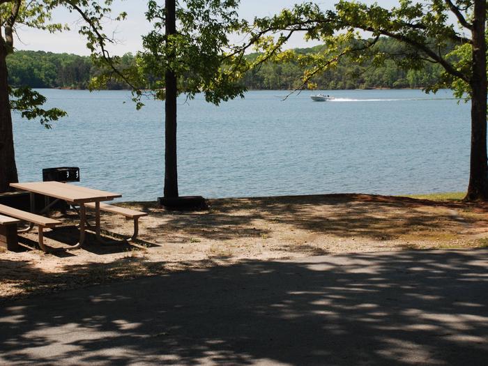
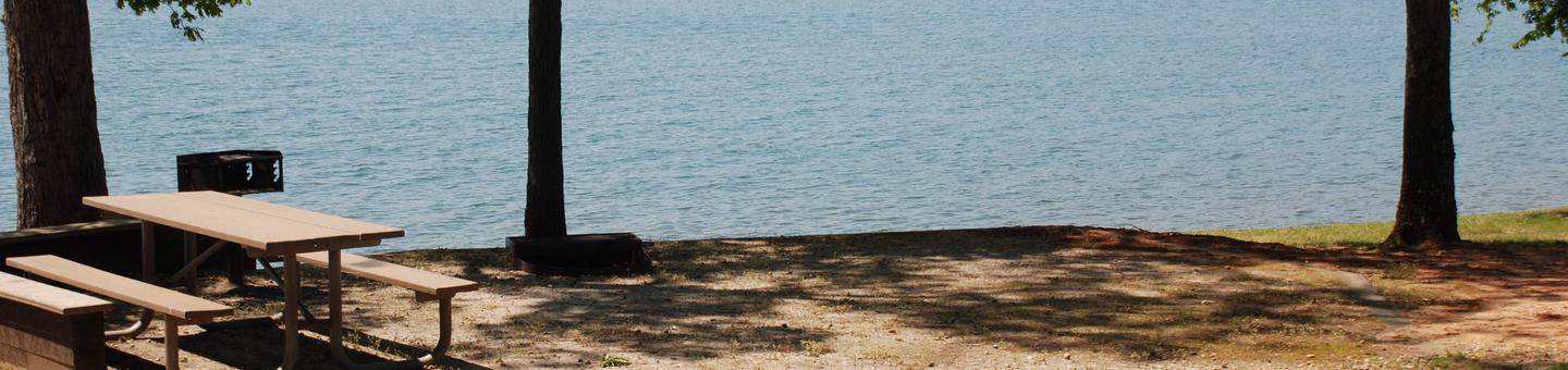
The lake appeals to boaters of all kinds, whether their specialty is canoeing, sailing or motor boating. Coves and areas of quiet water provide water skiers with excellent surfaces.
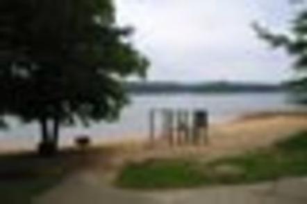
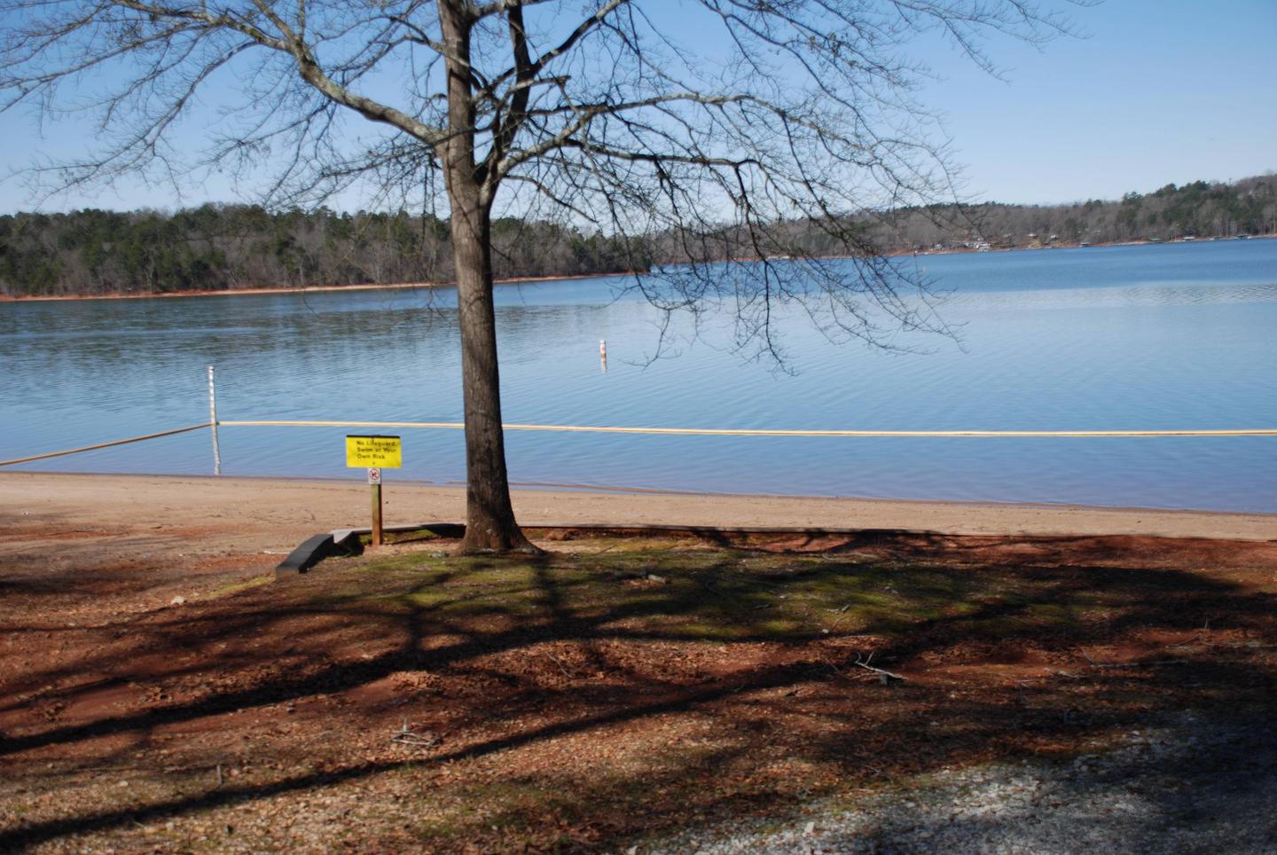
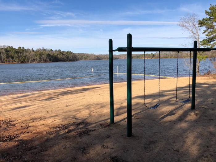
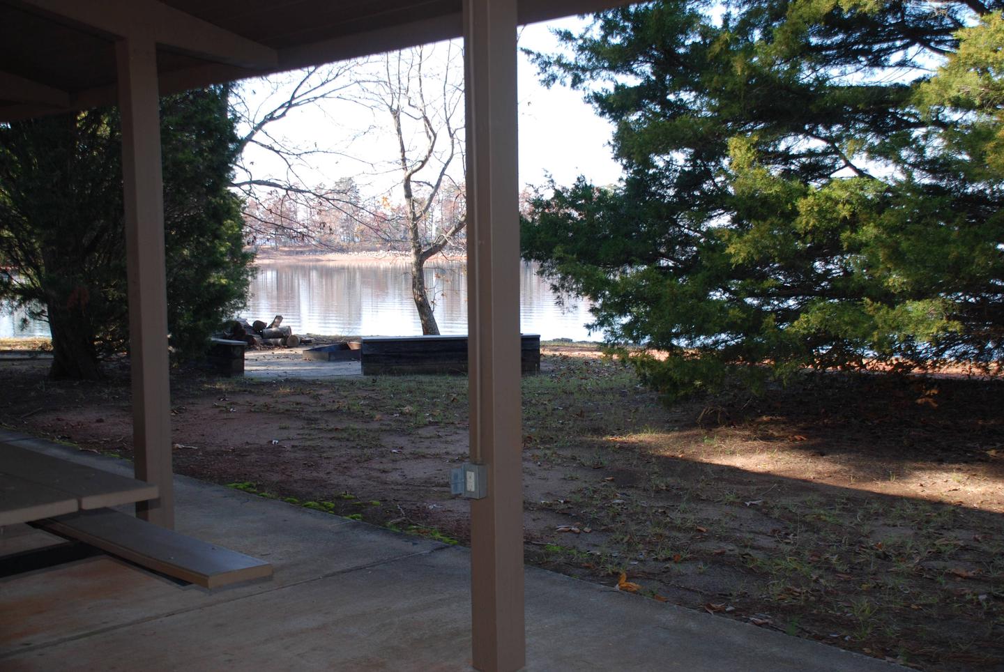
Swimmers delight in the sand beaches and designated swim areas along the shoreline.
Facilities
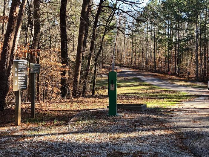
The site presently offers day-use and boat-launching facilities consisting of 1 gatehouse/entrance, 57 picnic sites, 2 standard picnic shelters with water and electric service, 5 mini-shelters, 1 boat ramp, 1 courtesy dock, 2 comfort stations, 2 playground areas, 2 designated swim areas/beaches, 1 fishing pier, and associated paved roads and parking areas throughout.
Natural Features
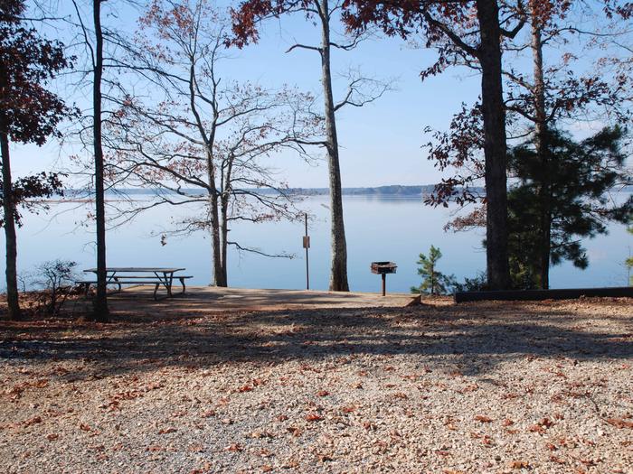
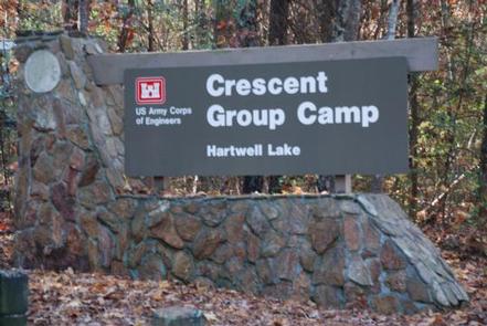
Hartwell Lake is a man-made lake bordering Georgia and South Carolina on the Savannah, Tugaloo and Seneca Rivers. The dam and lake area boasts 8 campgrounds and 11 day-use facilities that are operated by the US Army Corps of Engineers.
The Hartwell Project was originally authorized for hydro-power, flood control, and navigation. Later, recreation, water quality, water supply and fish and wildlife management were added.
Surrounding vegetation allows for plenty of shade, and the 962 miles of shoreline provide numerous swimming beaches, picnic areas and boat ramps.
Nearby Attractions
Charges & Cancellations
A $10 service fee will apply if you change or cancel a reservation more than 14 days in advance of arrival date. If you cancel a reservation within 14 days of your scheduled arrival date, you will forfeit the reservation fee.
Nearby Activities
- Boating
- Fishing
- Picnicking
- Day use area
- Swimming site
- Swimming
- Water access
Gallery
Directions
From Hartwell, Georgia. follow U.S. Highway 29 east for about 6 miles and look for signs. 6001 US HWY 29 SOUTH, Starr, SC 29684
GPS Coordinates
Latitude 34° 26′ 43.8698″ N
Longitude 82° 42′ 45.3499″ W