This recreation area is part of John H. Kerr Dam and Reservoir
Directions
GPS Coordinates
Latitude 36° 27′ 25.3419″ N
Longitude 78° 21′ 33.7938″ W
This recreation area is part of John H. Kerr Dam and Reservoir
Latitude 36° 27′ 25.3419″ N
Longitude 78° 21′ 33.7938″ W
This recreation area is part of John H. Kerr Dam and Reservoir
Latitude 36° 29′ 7.3212″ N
Longitude 78° 23′ 31.4052″ W
This recreation area is part of John H. Kerr Dam and Reservoir
Latitude 36° 26′ 31.1900″ N
Longitude 78° 22′ 8.9415″ W
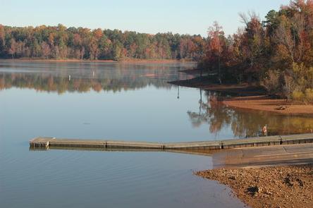
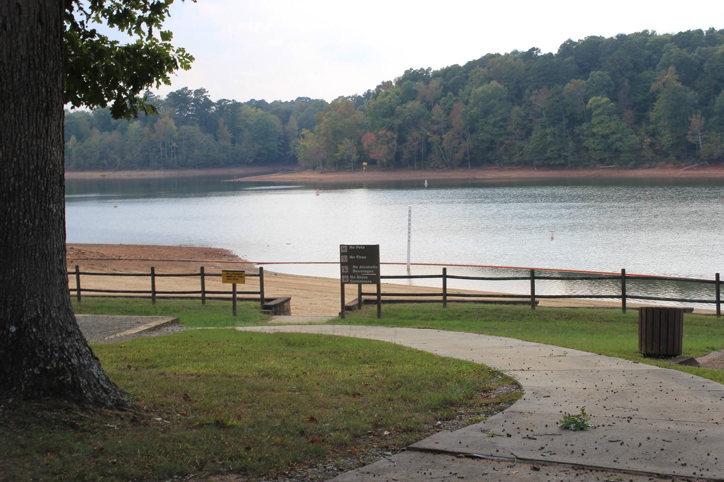
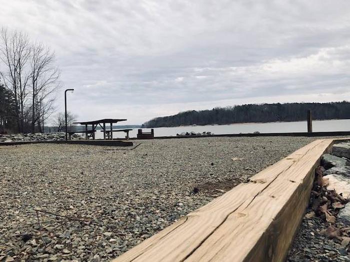
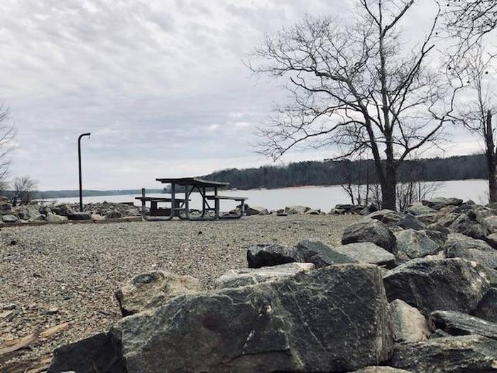
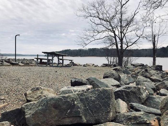
Rudds Creek Park is located on John H. Kerr Reservoir, a 50,000-acre lake that extends 39 miles up the wooded, cove-studded shoreline of the Roanoke River in Virginia and North Carolina. Rudd’s Creek Campground is open April 1 – October 31. The Day Use Park, located across Hwy 58, is open year-around.
Kerr Reservoir, also known as Buggs Island Lake, was created with the construction of the John H. Kerr Dam in 1952. Its 800 miles of wooded shoreline stretch across six counties in two states and offer countless recreation opportunities for visitors.
Public lands around the lake are open to hunting with appropriate state licenses. Game species include whitetail deer, wild turkey, bobwhite quail, mourning dove, gray squirrel, cottontail rabbit, fox and raccoon. Resident waterfowl species include wood duck, black duck, mallard and Canadian geese.
There are 26 Wildlife Management Areas around the lake that provide year-round opportunities for hiking, wildlife viewing, birding and more.
The Robert Munford Trail is about 5.5 miles long and is multipurpose. A trailhead is located within 7 miles of Rudd’s Campground, at Eagle Point Landing.
The lake is widely known for fishing, with large-mouth bass, striped bass, crappie and catfish available. Virginia Dept of Game and Inland Fisheries regulate fishing and hunting on the Virginia side.
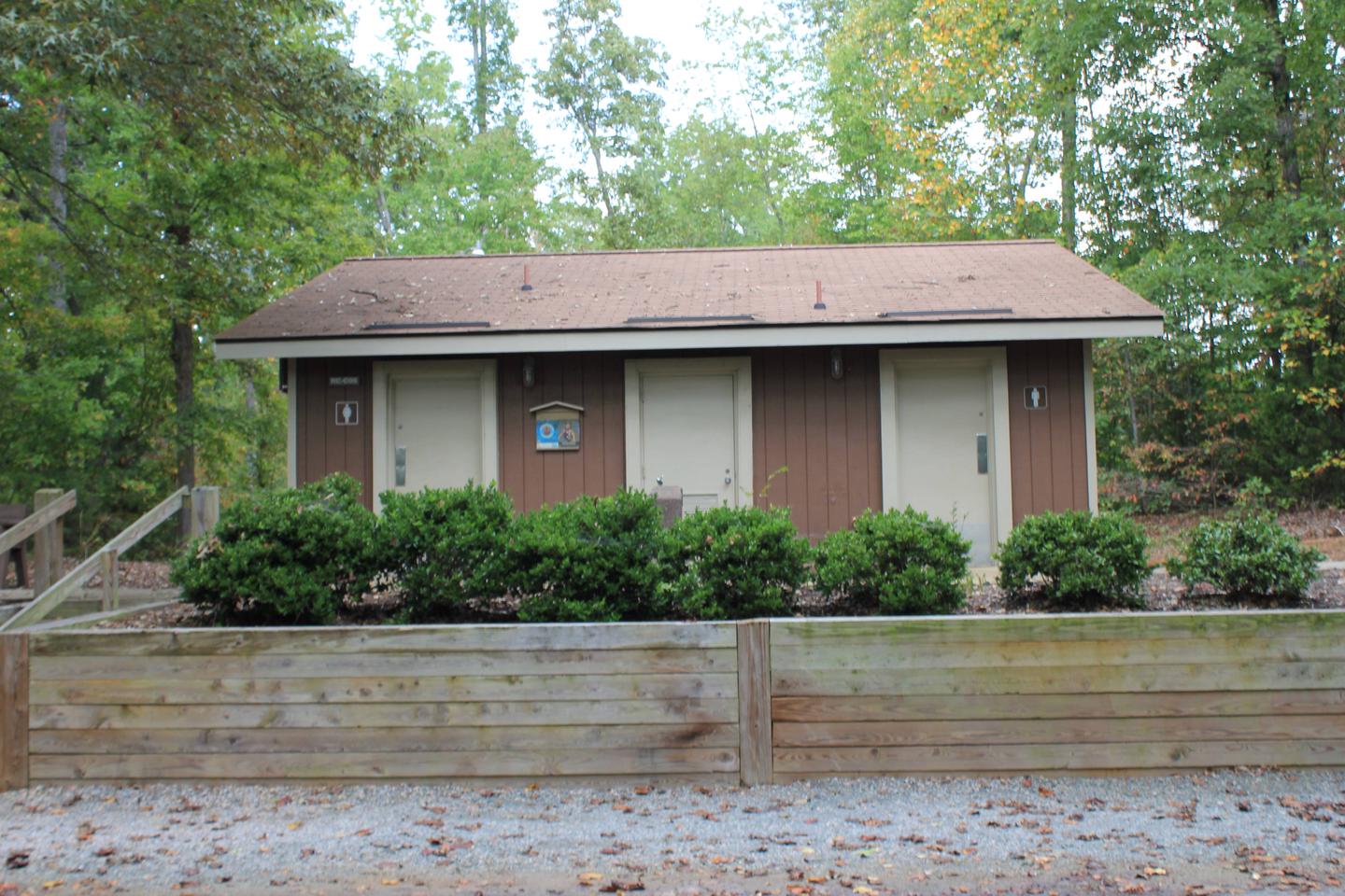
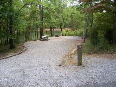
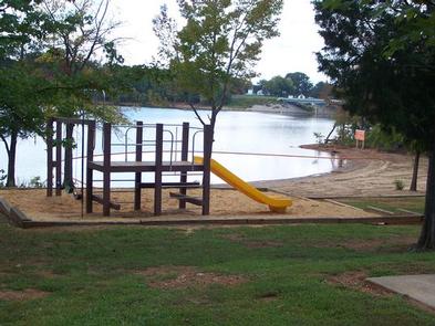
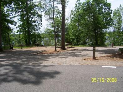
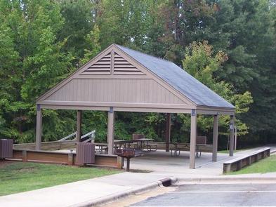
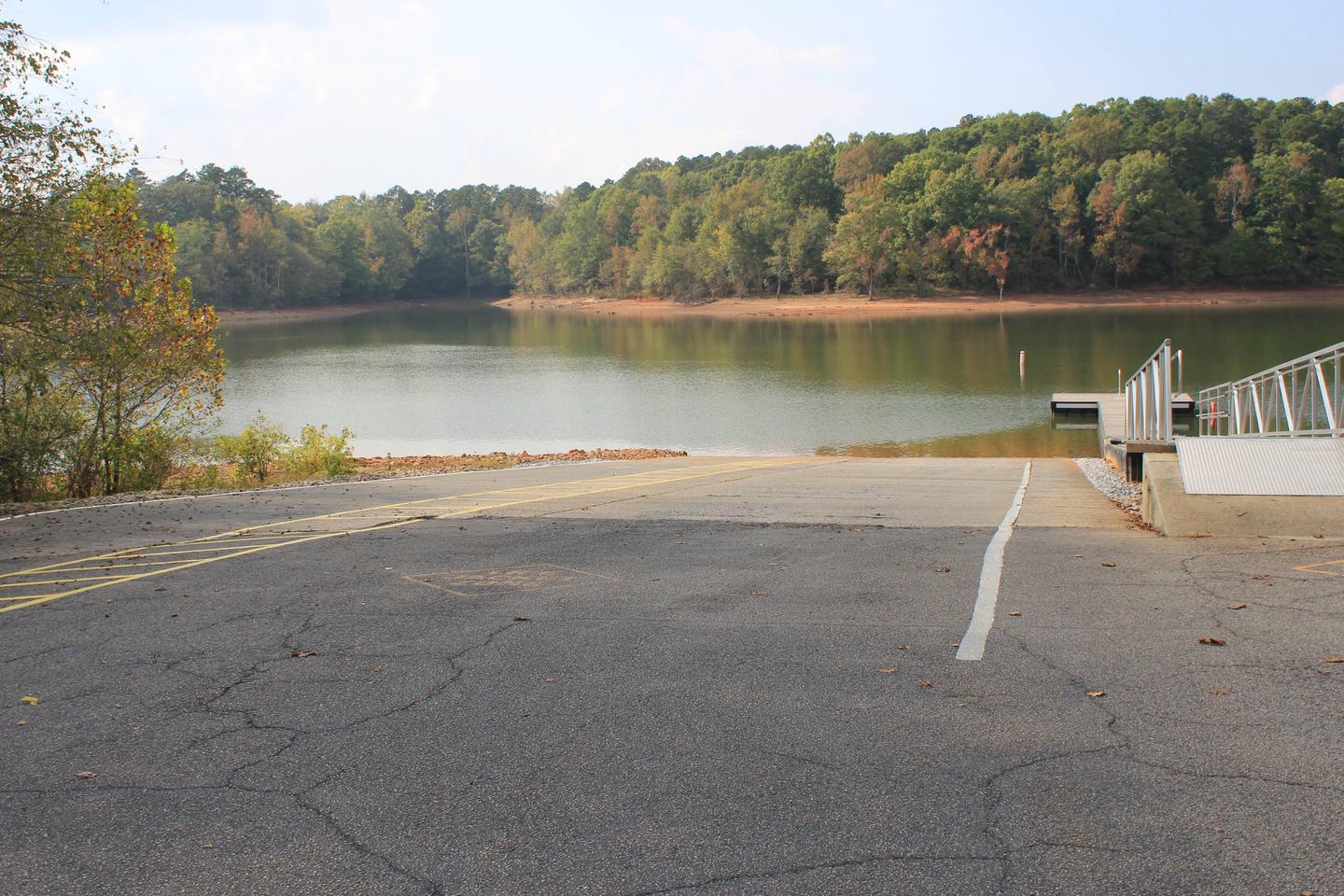
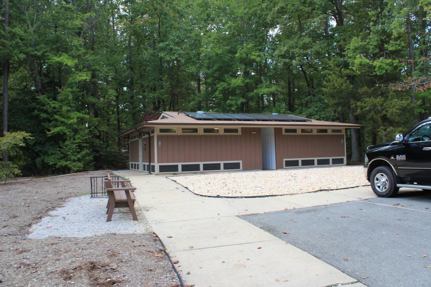
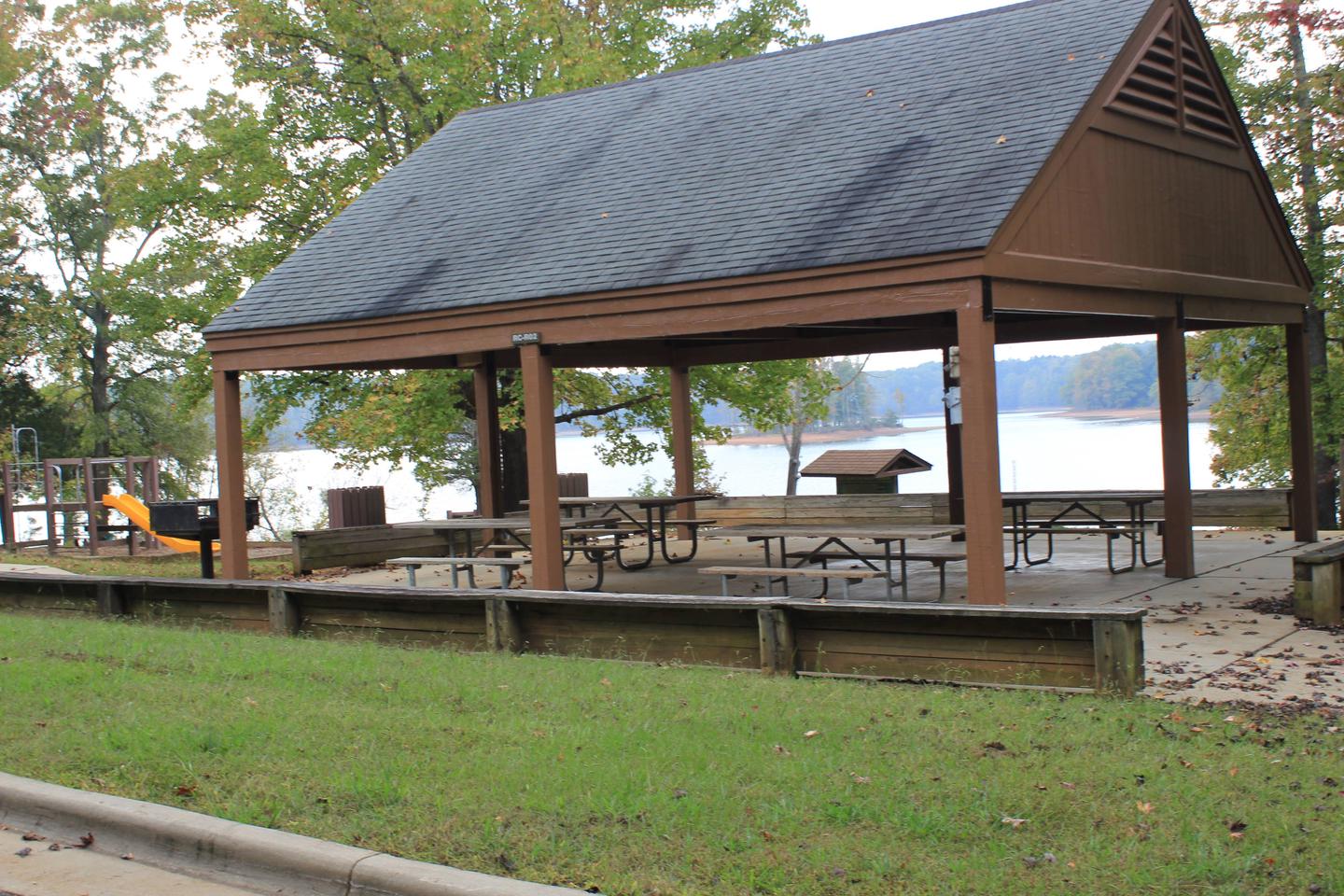
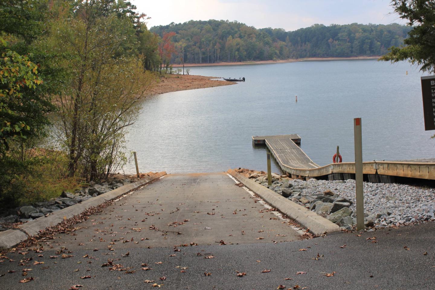
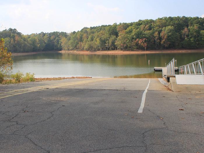
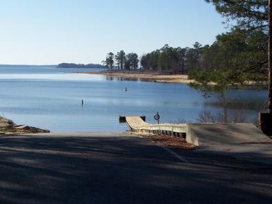
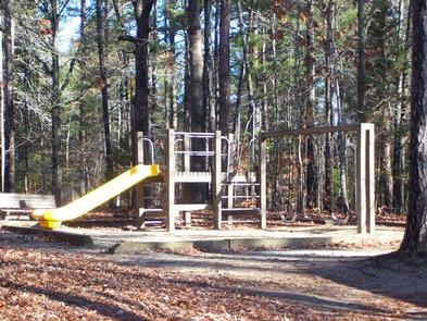
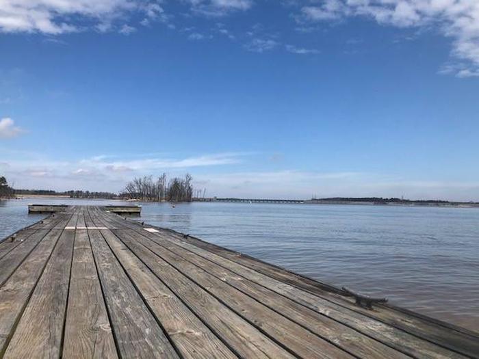
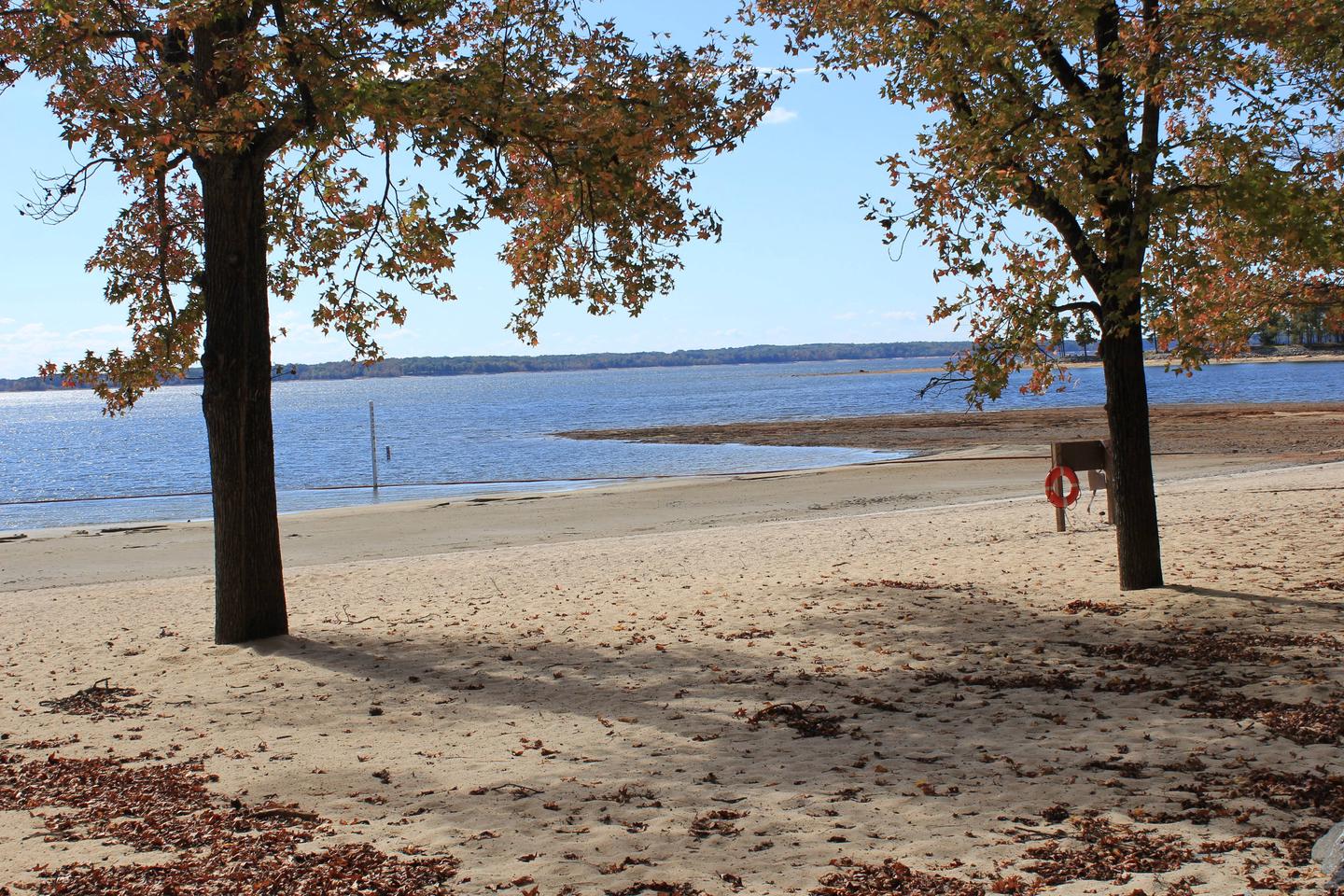
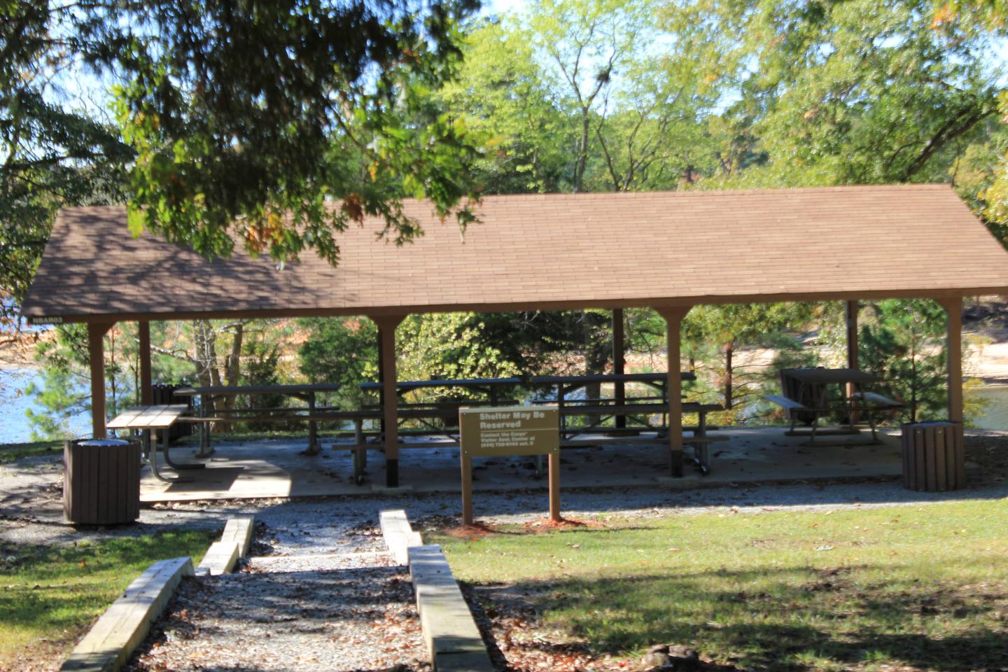
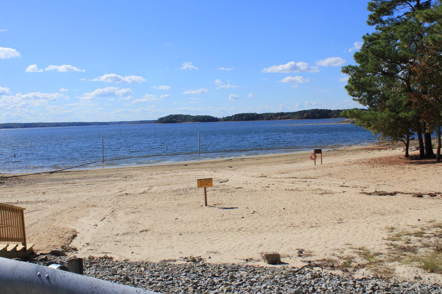
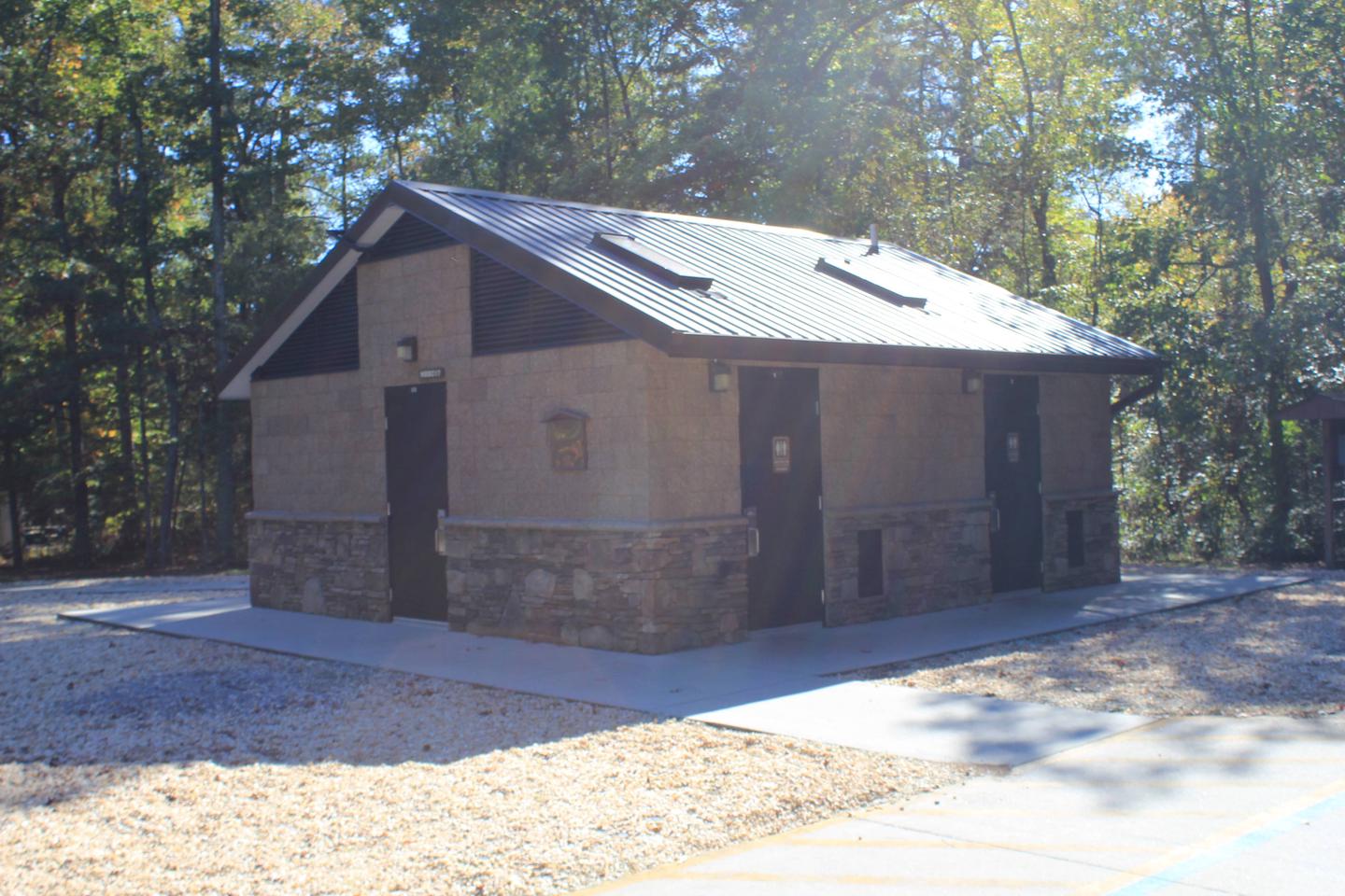
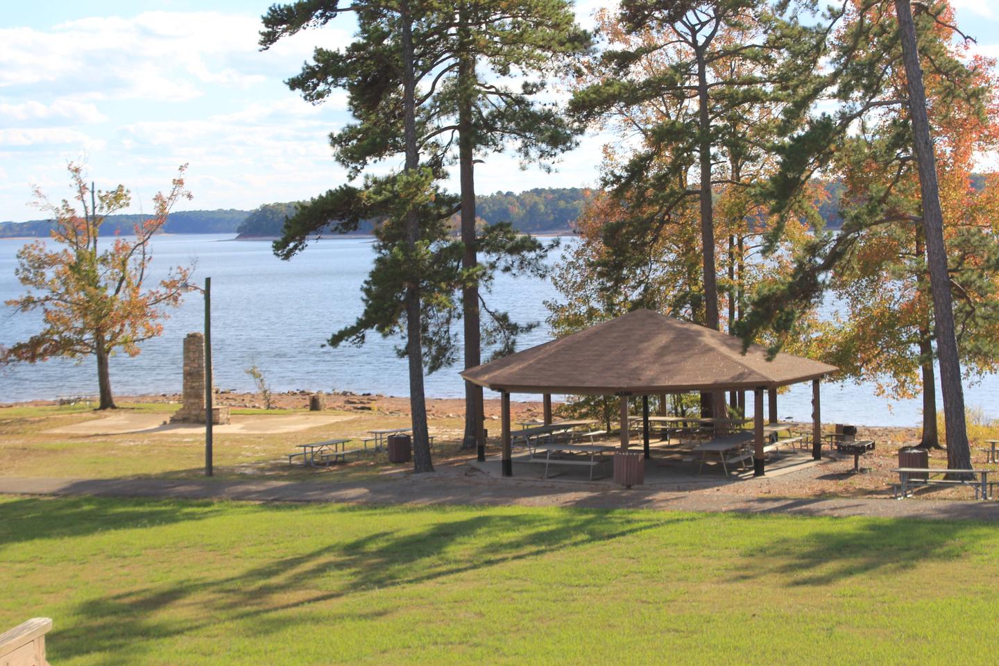
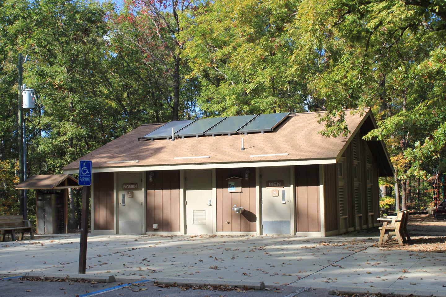
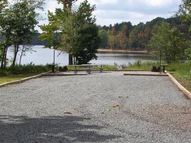
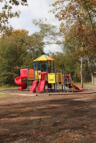
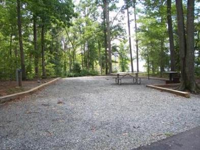
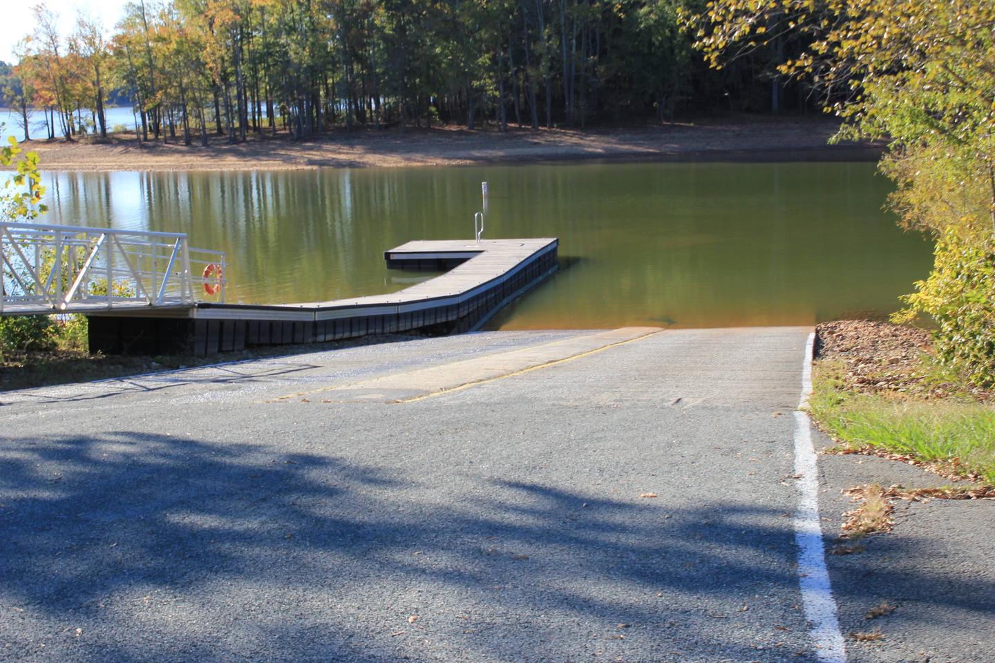
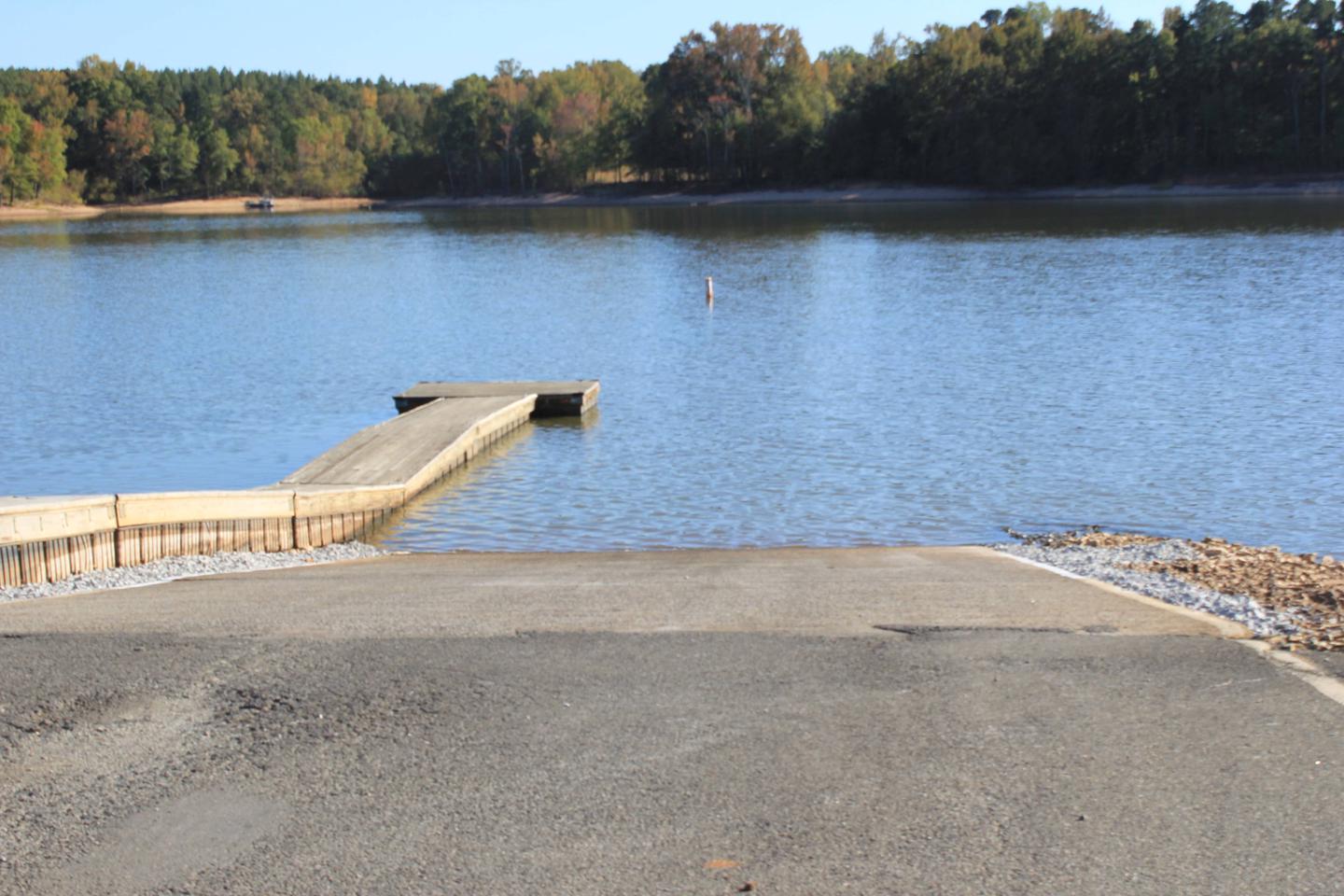
There are 98 sites for tents or RVs, and amenities like hot showers, flush toilets and a dump station provide a comfortable camping experience. A swimming beach and picnic shelter make the campground ideal for families. The campground has its own boat ramp and courtesty dock for campers only. All electric sites have water hook-ups.
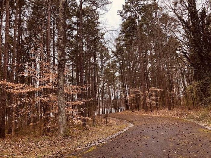
Rudds Creek Park is forested and offers plenty of shade. It is located 2 miles from the town of Boydton, VA, and has a marina less than a mile away. The campground road has very little shoulder, so care should be taken with bicycle riders and children.
The Corps Visitor Assistance Center is located about 30 minutes away at Kerr Dam.
Gas, groceries and shopping are available just minutes away, in Boydton. THe park is about 20 minutes from Clarksville, Virginia and 30 minutes from South Hill, VA.

The physical location for Rudd’s Creek Park is: 16064 Highway 58, Boydton, VA 23917. It is located about 3 miles west of Boydton, VA.
Latitude 36° 39′ 19.0001″ N
Longitude 78° 26′ 25.0001″ W
North Bend Park is located on John H. Kerr Reservoir, a 50,000-acre lake that extends 39 miles up the wooded, cove-studded shoreline of the Roanoke River in Virginia and North Carolina. North Bend is the largest park on Kerr Lake and is located at Kerr Dam and the Corps Visitor Assistance Center.
Kerr Reservoir, also known as Buggs Island Lake, was created with the construction of the John H. Kerr Dam in 1952. Its 800 miles of wooded shoreline stretch across six counties and two states and offer countless recreation opportunities for visitors.
Public lands around the lake are open to hunting with appropriate state licenses. Game species include whitetail deer, wild turkey, bobwhite quail, mourning dove, gray squirrel, cottontail rabbit, fox and raccoon. Resident waterfowl species include wood duck, black duck, mallard and Canadian geese.
There are 26 Wildlife Management Areas around the lake that provide year-round opportunities for hiking, wildlife viewing, birding and more. Buggs Island, located immediately below the dam, attracts migrating bald eagles in the winter and osprey in the summer, as well as gulls, great blue herons, waterfowl and the occasional river otter.
Several trails are available for hiking and biking. The 1.5-mile Liberty Nature Trail and 5.5-mile Robert Munford Trail both offer hikes within a short drive from the campground.
The lake is widely known for fishing, with large-mouth bass, striped bass, crappie and flathead catfish available. Virginia Department of Game and Inland Fisheries regulate hunting and fishing on the Virginia side of Kerr Lake.
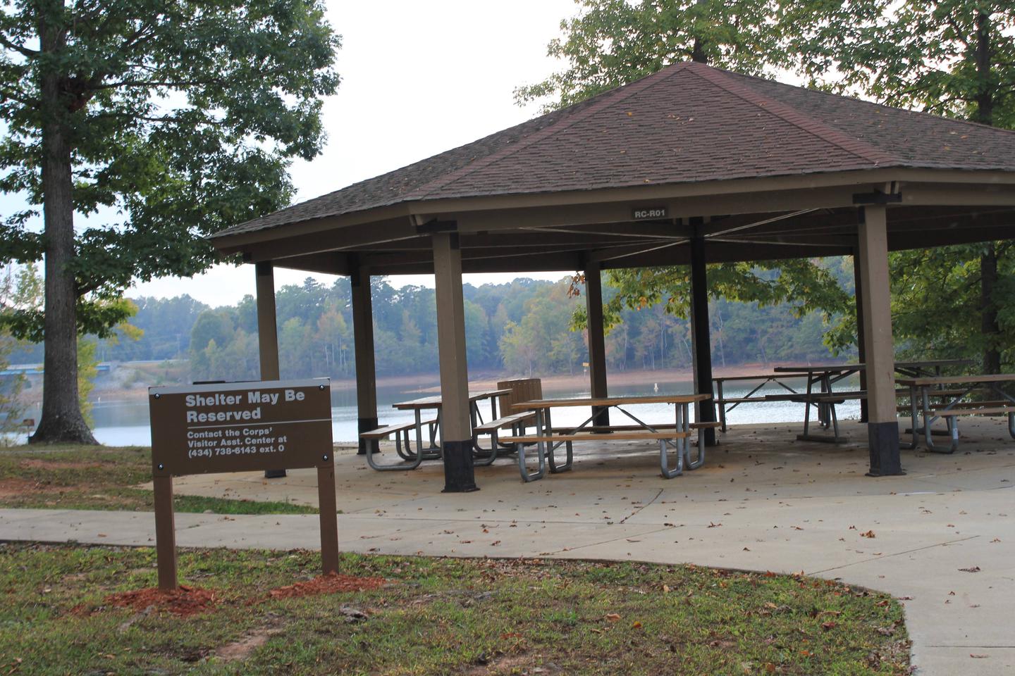
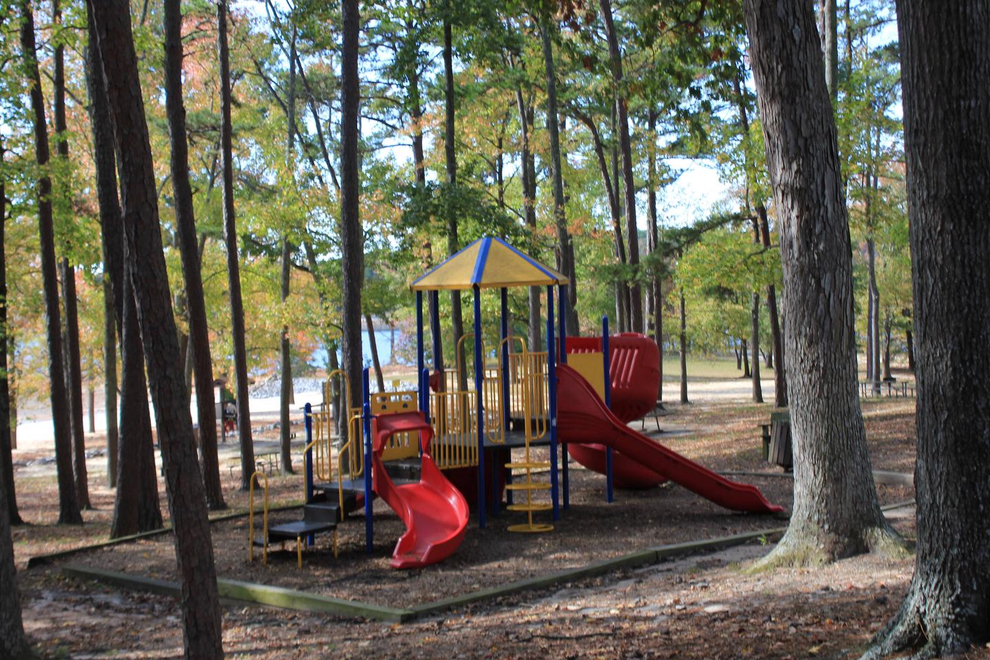
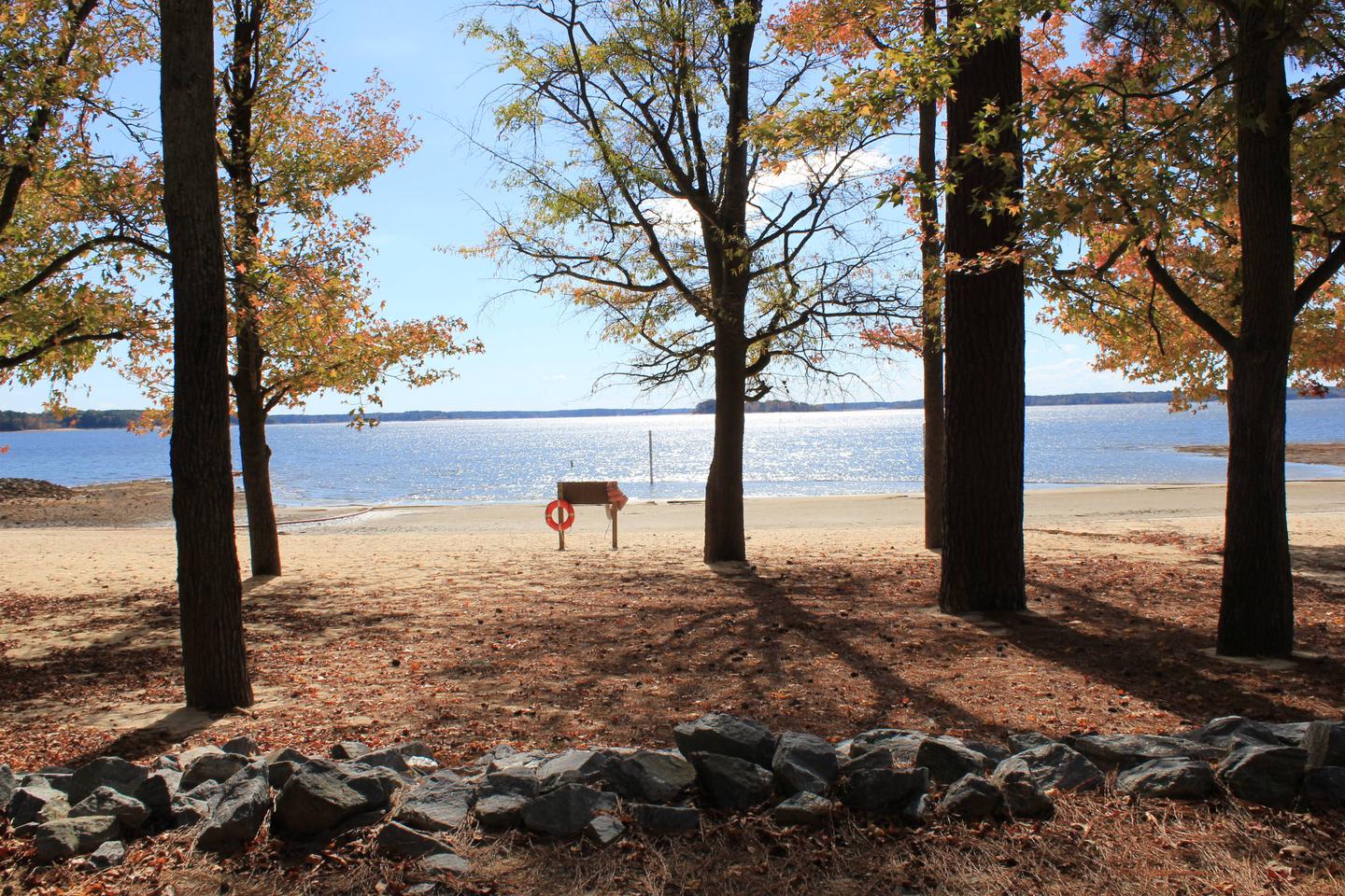
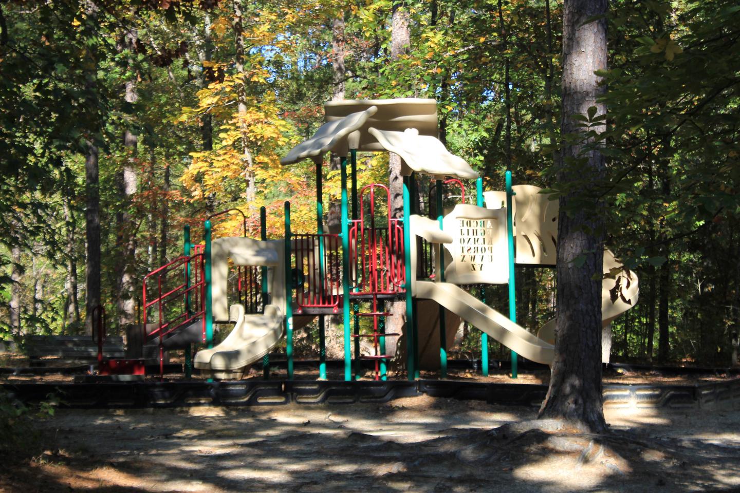
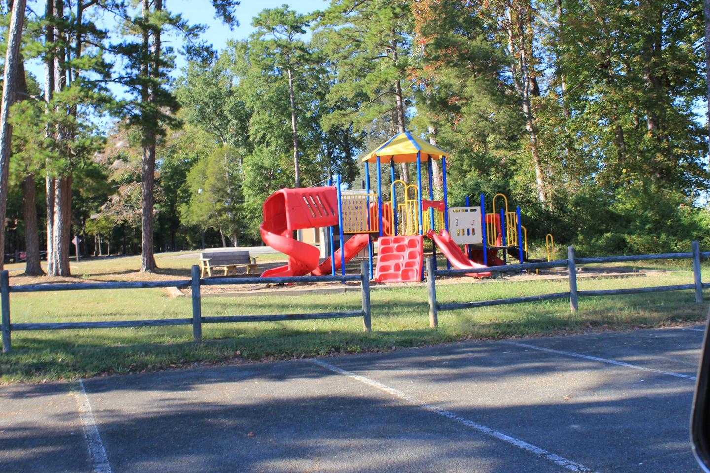
Visitors to North Bend Park will enjoy the lakeside views and wildlife watching. More than 200 sites for tents or RVs, and amenities like hot showers, flush toilets and a dump station provide a comfortable camping experience. Each camping area has its own swim beach. North Bend Park also has a large day use area with picnic shelters and a swim beach, 3 boat launching ramps, an amphitheater, and a paved 1.5 mile bicycle trail.
North Bend Park is forested and offers plenty of shade. Wildlife viewing is popular just below Kerr Dam, where waterfowl and Bald Eagles can be observed year around. This area, called Tailrace Park, has a wheelchair accessible canoe/kayak launch into the river, and is part of the Virginia Blueways Trail.
About a half-mile away, at the intersection of Mays Chapel Road and State Route 4, visitors will find the Joseph S.J. Tanner II Environmental Education Center. The center has interpretive programs and exhibits for the public from Memorial Day through Labor Day, on Saturdays and Sundays.
Gas, groceries, firewood and restaurants are located within 2 miles and also within 20 minutes in Boydton and South Hill, Virginia.

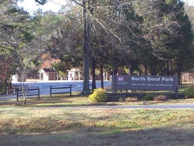


The physical address for North Bend Park: 1930 Mays Chapel Road, Boydton, VA 23917. It is located approximately 20 miles west of South Hill, VA.
Latitude 36° 35′ 17.9999″ N
Longitude 78° 19′ 32.9999″ W
Longwood Park is located on John H. Kerr Reservoir, a 50,000-acre lake that extends 39 miles up the wooded, cove-studded shoreline of the Roanoke River in Virginia and North Carolina.
Kerr Reservoir, also known as Buggs Island Lake, was created with the construction of the John H. Kerr Dam in 1952. Its 800 miles of wooded shoreline stretch across six counties and two states and offer countless recreation opportunities for visitors.
Public lands around the lake are open to hunting with appropriate state licenses. Game species include whitetail deer, wild turkey, bobwhite quail, mourning dove, gray squirrel, cottontail rabbit, fox and raccoon. Resident waterfowl species include wood duck, black duck, mallard and Canadian geese.
There are 26 Wildlife Management Areas around the lake that provide year-round opportunities for hiking, wildlife viewing, birding and more.
The lake is widely known for fishing, with large-mouth bass, striped bass, crappie and flathead catfish available. Viriginia Dept of Game and Inland Fisheries regulate hunting and fishing on Kerr Lake on the Virginia side (which is known as Buggs Island Lake).
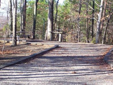
Visitors to Longwood Park will enjoy the lakeside view. There are 66 sites for tents or RVs, and amenities like hot showers, flush toilets and a dump station provide a comfortable camping experience. A swimming beach and picnic shelter make the campground ideal for families.
Longwood Park is forested and offers plenty of shade. It is located on the Grassy Creek part of Kerr Reservoir.
Longwood Park is located only 10 minutes from Clarksville, Virginia. Shopping, gas, and groceries are available. Clarksville Marina is about 15 minutes away by highway; approximately 30 minutes by water.

The physical address for Longwood Park is: 13500 Hwy 15, Clarksville, VA 23927. It is located 7 miles south of Clarksville, VA.
Latitude 36° 34′ 37.9999″ N
Longitude 78° 33′ 5.0000″ W
Buffalo Park is a small day use and campground park, located on John H. Kerr Reservoir. The campground is open May 1 – September 30. The Day Use Park is open year-around. Kerr, also known as Buggs Island Lake, is a 50,000-acre lake that extends 39 miles up the wooded, cove-studded shoreline of the Roanoke River in Virginia and North Carolina.
Kerr Reservoir was created with the construction of the John H. Kerr Dam in 1952. Its 800 miles of wooded shoreline stretch across six counties in two states and offer countless recreation opportunities for visitors.
Public lands around the lake are open to hunting with appropriate state licenses. Game species include whitetail deer, wild turkey, bobwhite quail, mourning dove, gray squirrel, cottontail rabbit, fox and raccoon. Resident waterfowl species include wood duck, black duck, mallard and Canadian geese.
The Army Corps of Engineers manages 26 Wildlife Management Areas around the lake that provide year-round opportunities for hiking, wildlife viewing, birding and more.
Kerr Lake is widely known for fishing, with large-mouth bass, striped bass, crappie and catfish caught. Fishing and hunting are regulated by the Virginia Department of Game and Inland Fisheries on the Virginia side of the lake.
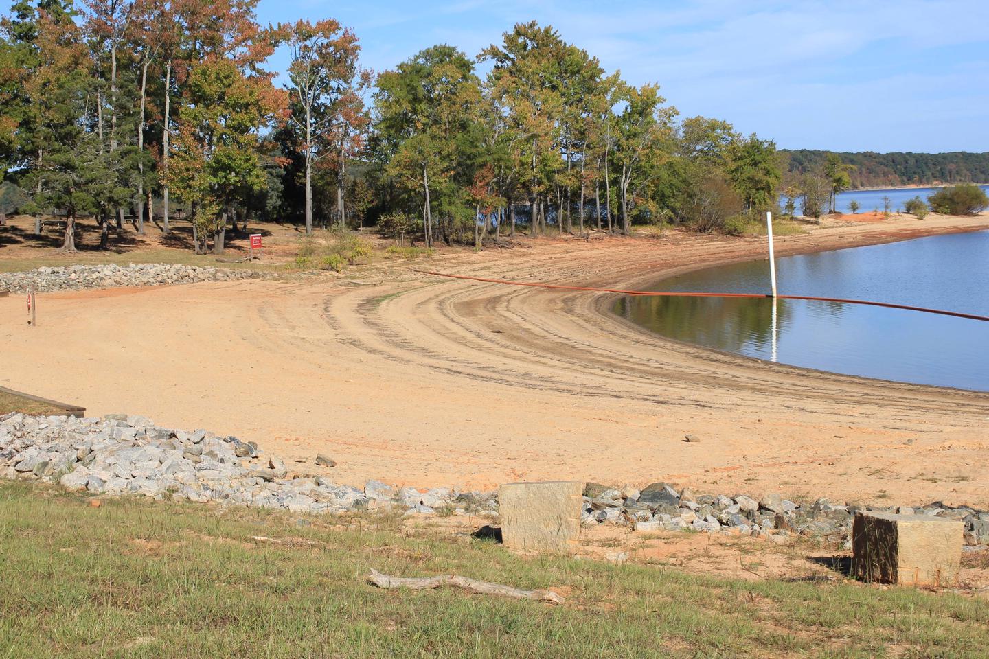
Visitors to Buffalo Park will enjoy the lakeside views and the quaint park. The campground has 21 sites: 11 shady electric sites (1 is a double) and 10 primitive sites in an open field. Primitive sites are small and are open to walk-in campers. They are not reservable. Two of the electric sites are paved and are accessible. Amenities include “family-style” individual restrooms with hot showers, sink and flush toilets. Park has a small dump station. Park has a swim beach, picnic shelter, and a boat ramp.
Kerr Reservoir has approximately 48,000 acres of hardwood and pine forest and 50,000 acres of water. Buffalo Park has both shady sites and open field sites. The picnic shelter in the park has a spectacular view of the lake, where the Roanoke (Staunton) River meets the Dan.
Buffalo Springs Park is on the Virginia State and National Historic Sites, and is located approximately 7 miles from Buffalo Park. Once a world-renowned source of bottled lithia waters, the little park now offers a picnic pavilion and solitude. People still get their water from the fountain there.
Gas and groceries are available in Clarksville, Virginia, about 15 minutes away. Clarksville holds the distinction of being the only town on Kerr (Buggs Island) Lake.
The physical address for Buffalo Park is: 5199 Carter’s Point Road, Buffalo Junction, VA 24529. It is located approximately 10 miles west of Clarksville, VA.
Latitude 36° 39′ 42.9998″ N
Longitude 78° 37′ 53.0000″ W
This recreation area is part of Falls Lake
Latitude 35° 59′ 41.2260″ N
Longitude 78° 39′ 20.3940″ W
This recreation area is part of Falls Lake
Latitude 36° 0′ 53.4893″ N
Longitude 78° 43′ 41.1062″ W
This recreation area is part of Falls Lake
Latitude 36° 0′ 21.7260″ N
Longitude 78° 39′ 19.4685″ W