Overview
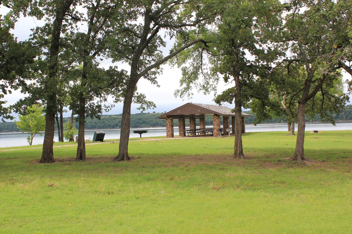
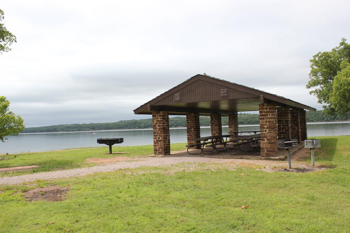
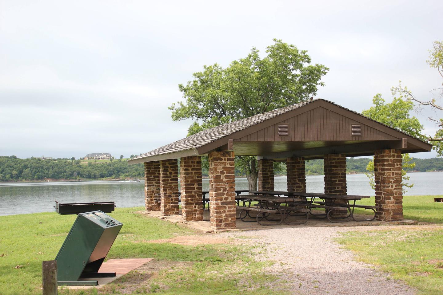
Buckhorn Pavilion is on the Lake of the Arbuckles shoreline, a well-loved recreational lake in south-central Oklahoma. Eat, swim, boat and fish at this convenient gathering place for family and friends.
The Lake of the Arbuckles, a reservoir created in 1966, features 36 miles of shoreline, and some of the best bass fishing in the state. Birders and photographers take note – in winter, the Lake of the Arbuckles attracts several bald eagles.
Recreation
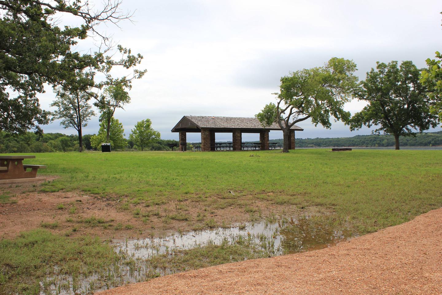
Bring a swimsuit for quality swimming. The grass-covered grounds are spacious and ideal for games like Frisbee or football.
Facilities
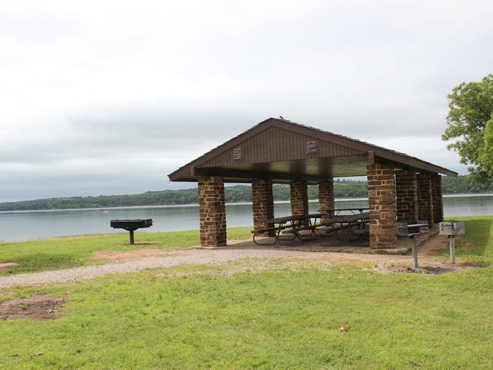
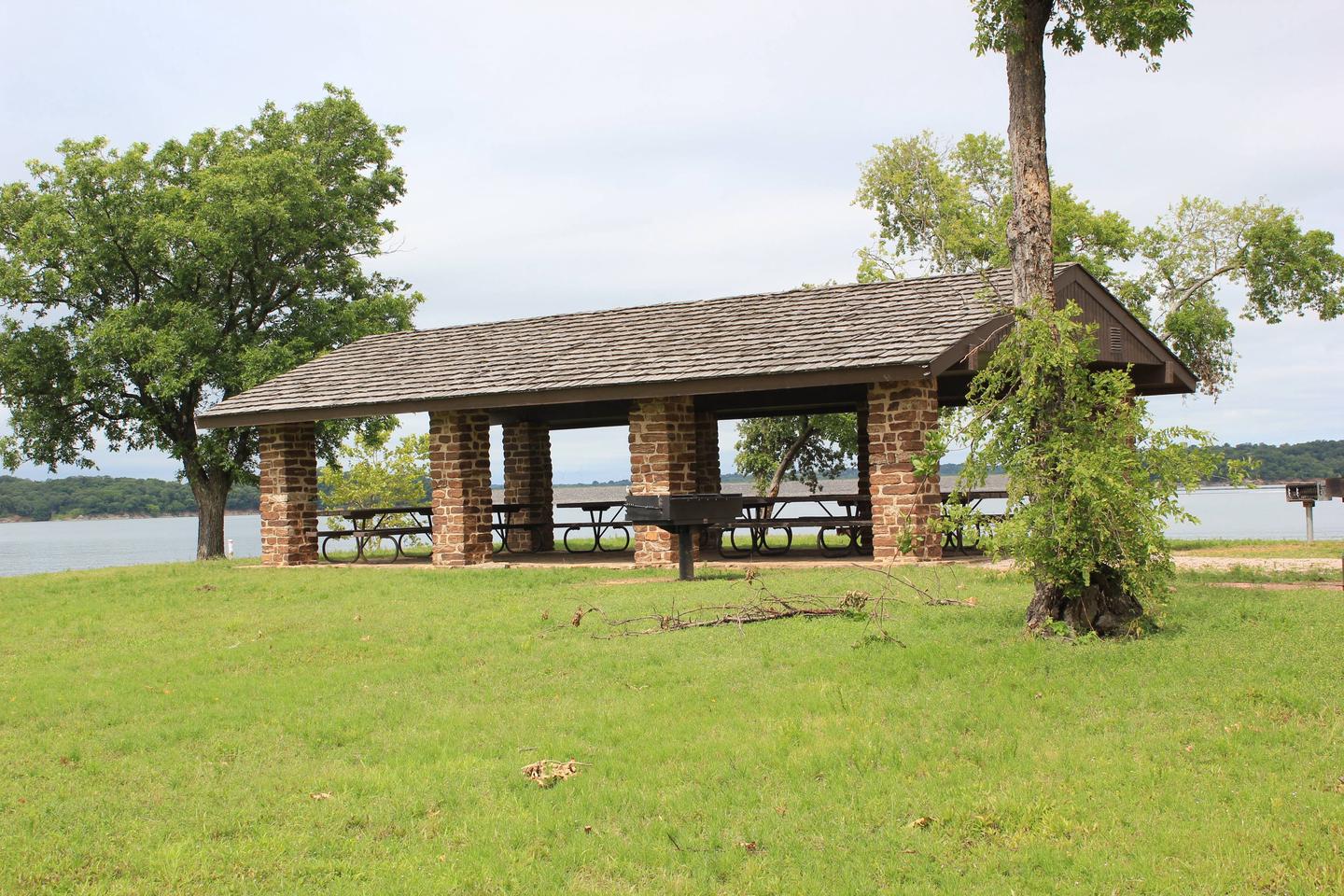
The pavilion is available year-round, with generally mild winters. Picnic tables and charcoal grills are available for use, so don’t forget to pack the hot dogs or steaks.
No electricity is provided at this location, but a boat launch is easily accessible.
Natural Features
The pavilion is part of Chickasaw National Recreation Area, a partially forested hilly region of lakes and mineral water springs. Lake of the Arbuckles is the largest lake, spanning 2,350 acres.
Nearby Attractions
Explore the crystal clear Pavillion Springs, Hillside Springs and Black Sulphur Springs, where people have historically people have attributed medicinal and restorative powers.
Or visit the Chickasaw Cultural Center to learn about the Indian Nation that inhabited the area for centuries.
Nearby Activities
- Biking
- Boating
- Camping
- Fishing
- Hiking
- Visitor center
- Wildlife viewing
- Swimming site
Gallery
Directions
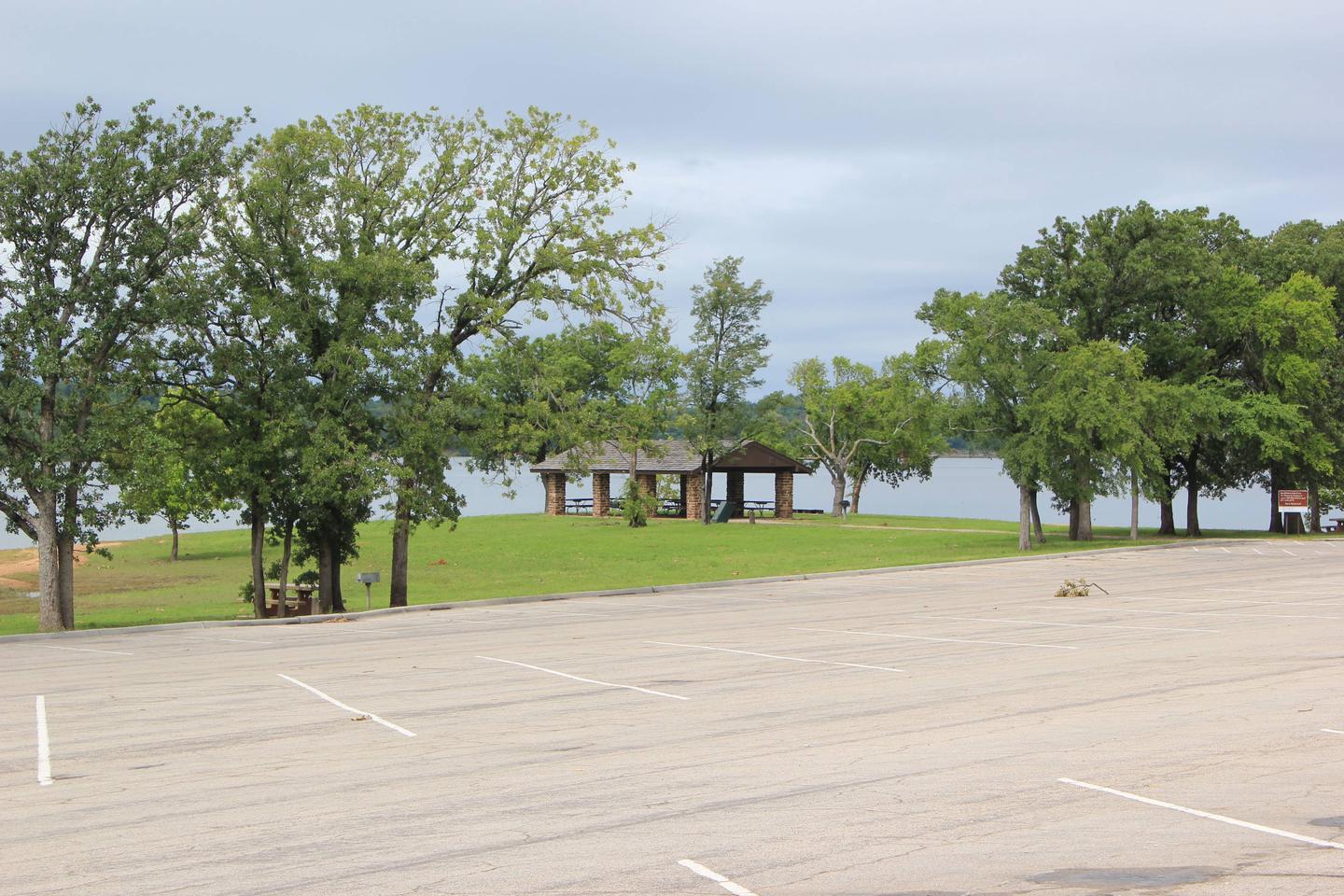
From I-35, take Exit #55 or #51 and drive towards the city of Davis, OK. Once in Davis, go east on Highway 7 to the Chickasaw National Recreation Area you desire. Watch for the Chickasaw National Recreation Area signs to direct you to your selected area: Campgrounds, Boat Ramps, Pavilion, and Picnic Area. – Drive approximately 9 miles east of Highway 7 in Davis to the only 4 way STOP (Jct Hwy 7 and Hwy 177) in the city of Sulphur. Turn south (right) for approximately 5 miles on Hwy 177. Turn west (right) at Buckhorn Road and drive approximately 3.5 miles west. Follow the directional signs. The pavilion is located at the end of Buckhorn Rd on the water’s edge near the boat ramp parking area. A sign is posted in front of the pavilion for your convenience.
GPS Coordinates
Latitude 34° 26′ 15.0000″ N
Longitude 97° 0′ 33.9998″ W

